Spectacular backpack into the rugged and stunning Boulder Chain Lakes of the White Cloud Mountains in south central Idaho.
Distance: 20.75 miles round trip (+/- depending on how many lakes visited and location of base camp)
Type: out and back
Difficulty: strenuous with a 5 mile ascent that gains 2,400 feet in elevation followed by a 800′ descent.
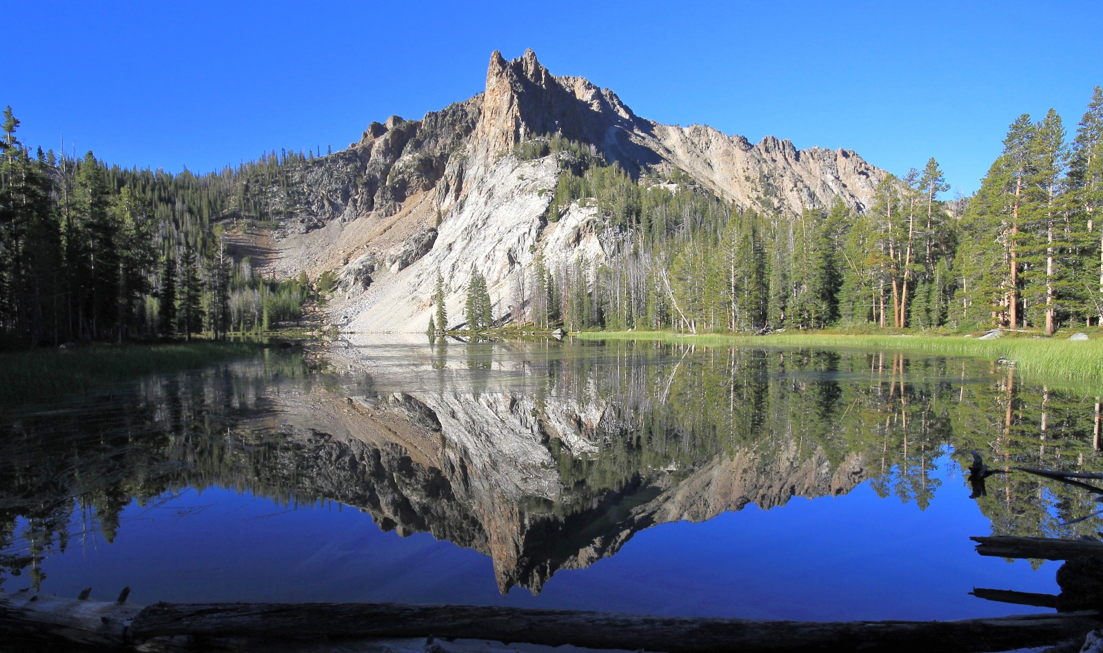
September 1, 2014: It was cold when we woke. Still mostly dark out, a breeze made 32 degrees seem colder than it was. This was day three of our second Sawtooth Mountains trip of 2014. On day two we had hiked to Marshall Lake.
Today we would be hiking into what would become the White Clouds Wilderness on August 7, 2015. From all indications the transition to wilderness was equitable—concerned parties had their say and reasonable compromises were made. As a hiker, the more protected land the better.
I offered to build a fire (a rarity for mornings around camp) and Lusha hastily took me up on it. We had a couple cups of coffee, a quick breakfast, broke down camp, and began preparing for the backpack.
At this point in our evolution we were still backpacking newbies. I had backpacked a few times as a boy scout and several more times since—not enough to be much good at it. Maybe that explains why it took so long to get ready. Despite getting up at the butt crack of dawn, we didn’t make it out of camp until 9:30 a.m.
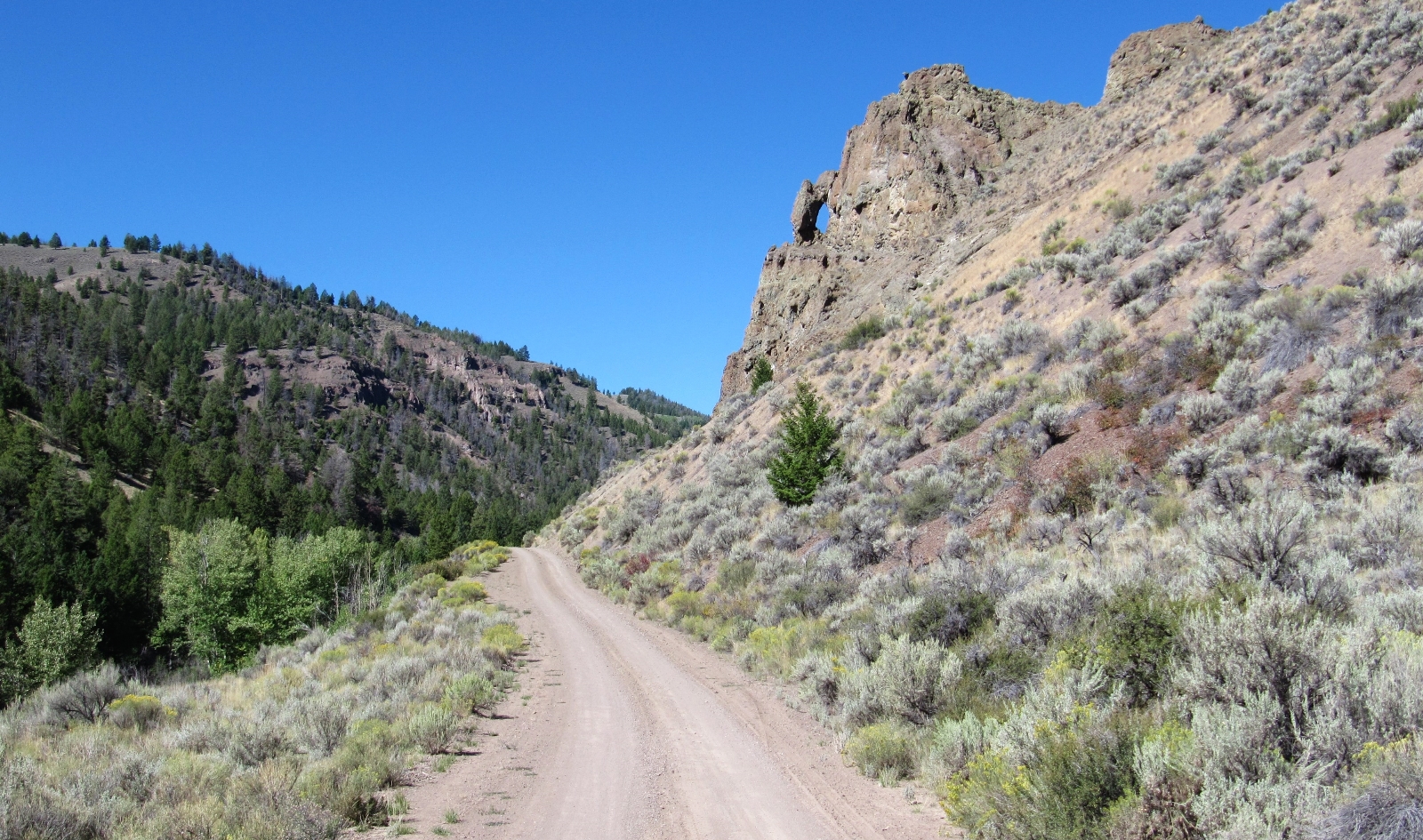
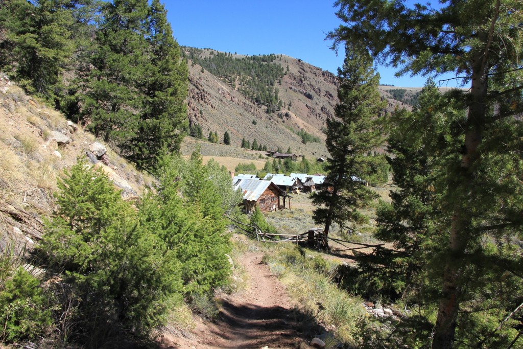
From camp it was an hour and fifteen minutes to the Big Boulder Creek Trailhead (elevation 7,171’). We drove east along the Salmon River and turned south along it’s East Fork. From there it was a forty minute drive to the trailhead near the old Livingston Mill. Along the East Fork there were several homes and small ranches. The final four miles climbs steeply along a narrow gravel road.
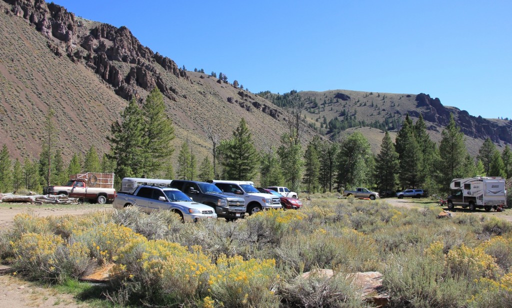
The parking lot had quite a few cars considering the remote location, but not surprising considering it was Labor Day. We finished getting our gear together and hit the trail about 11:00 a.m. At the trailhead sign, Lusha realized we would be hiking further than she thought. All information she had regarding distances weret from the old Livingston Mill Trailhead. This trailhead, now the primary starting location, would add over a mile to the hike in.
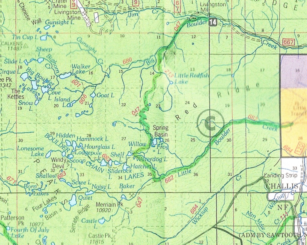
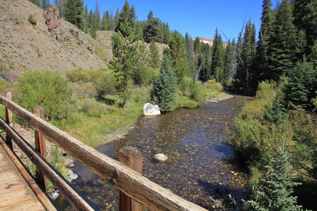
With the temperature rising near 70 degrees and toting heavy packs in direct sun, it was warmer than we preferred for starting out. The first two miles took us along Big Boulder Creek. We saw two couples and a group of six coming out from the Walker Lake area. Once we split onto the trail to Red Ridge Pass, we didn’t see anyone until we were nearly to Frog Lake. The first mile of trail was flat, but began to climb after that.
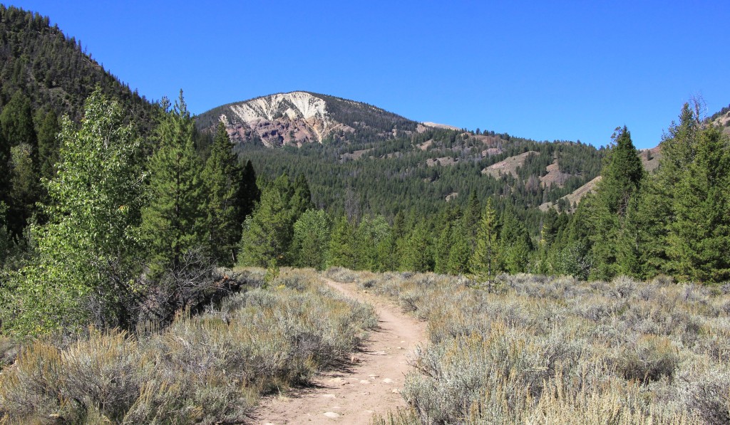
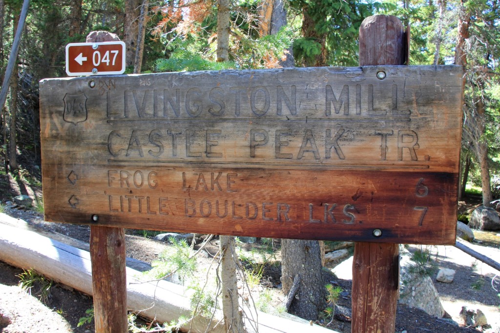
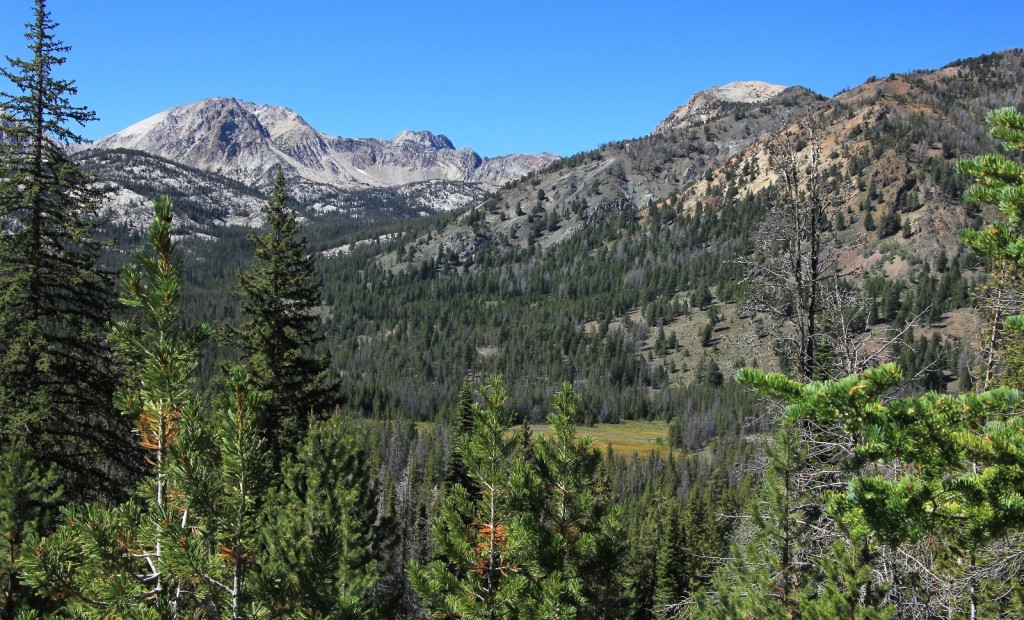
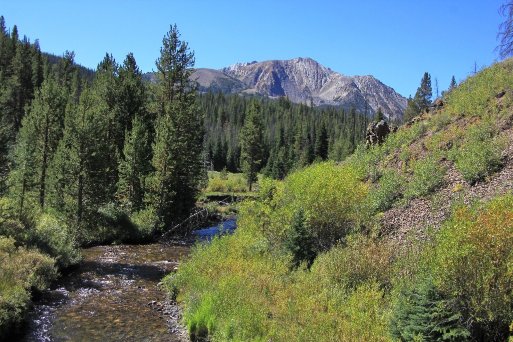
By the time we reached Red Ridge Pass, we had hiked six miles and climbed over 2,400’ to an elevation of 9,600’—an elevation record for us. The elevation gain was evenly spread over the five miles leading to the pass (an average of about 500’ per mile). The steady gain made it easy to set a pace, which was surprising considering this was our first backpack with any climb to speak of. After leaving the creek there was an occasional view of the peaks, but at this point we were hiking in dense forest. The shade made the temperature bearable.
At the summit we took a break. We were both glad the climb was over, but for Lusha especially so—the weight and elevation were taking it’s toll. Adding to her discomfort was her waist belt digging into her hip. This experience proved to be the catalyst for us buying Gregory internal frame packs a couple months later.
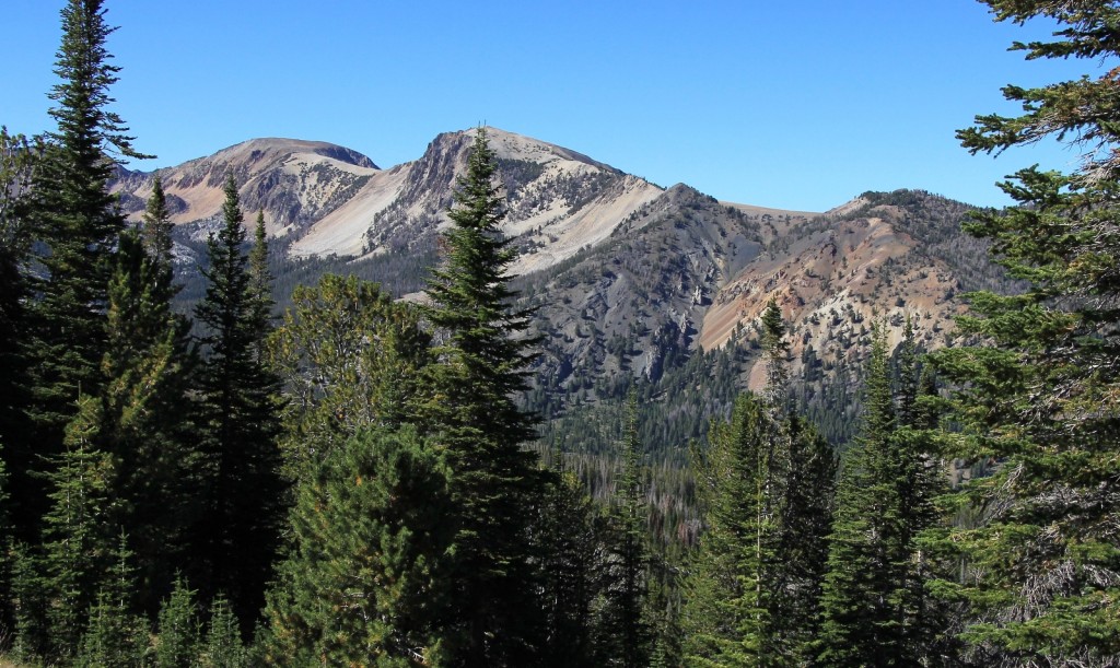
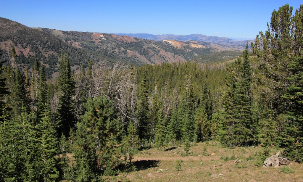
After Red Ridge Pass we dropped 800’ to Frog Lake. Right from the start we could see the lakes and had breathtaking views of the surrounding peaks. Frog Lake was more scenic than expected—I wished we had camped there. It was weedier (lots of fish food) than the lakes I ended up fishing and looked like it held nice size trout. I didn’t get a chance to fish it this trip but will definitely hit it next time.
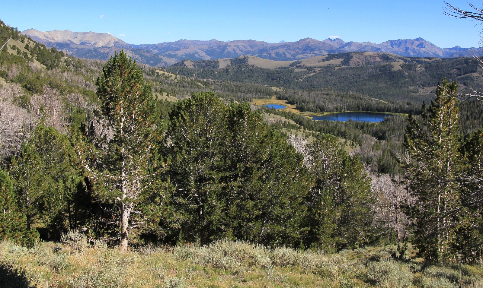
We had hiked over nine miles in six hours with significant elevation gain. Lusha was done so we made Willow Lake, the first of the Chain Lakes, our camp for the two nights. Immediately she felt poorly; fatigued, short of breath, and nauseous. We both figured she had a mild case of elevation sickness. Doing anything was a real effort—she helped with what she could, but I did the bulk of the camp setup. We settled into bed early and read until dark.
When we woke the next morning it was 34 degrees and the skies were clear. Lusha was feeling a little better. We had a dehydrated meal breakfast and instant coffee. We hit the trail up the Boulder Chain Lakes with our day packs around 8:00 a.m. We both felt lazy after the previous day’s grind, Lusha a little more so.
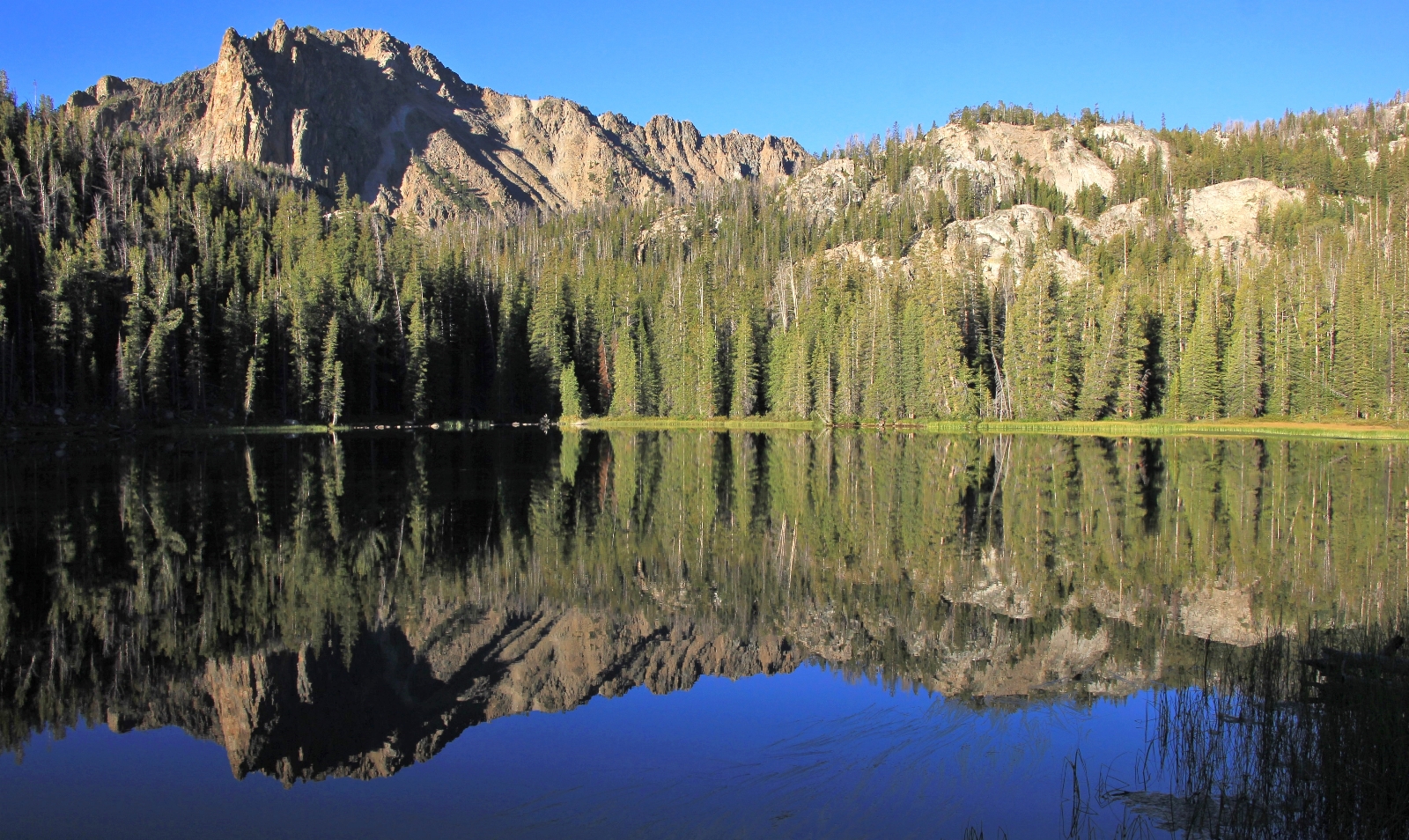
Willow Lake is the first of the Chain Lakes. A short distance and bit of a climb down the trail was Hatchet Lake. There were several nice vacant campsites. This would have been a better spot to camp.

Lusha took a few reflection shots, then we made our way on to Shelf Lake. Here again were some decent campsites free of campers.
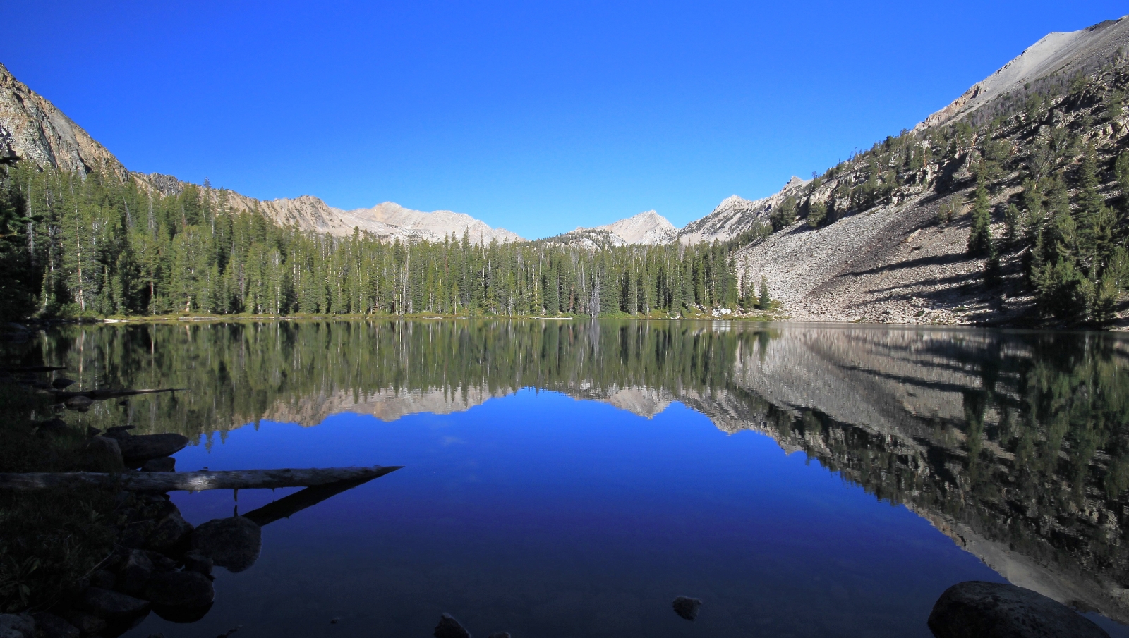
Next up was Sliderock Lake. There were no established campsites, but a horde of pikas were racing about with plants in their mouths preparing for winter.
At 9:30 a.m. we topped out at Lodgepole Lake ( 9,008’), the upper most of the Lower Chain Lakes. We were about a mile and a half from camp and had climbed 275 feet. We decided to stop here and I’d fish a bit. A breeze had begun and it was chilly in the shade. We layered up. I busied myself catching tiny rainbows and cutbows.
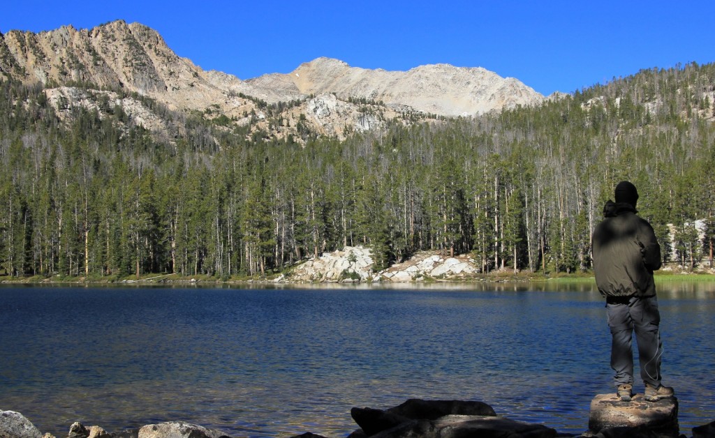
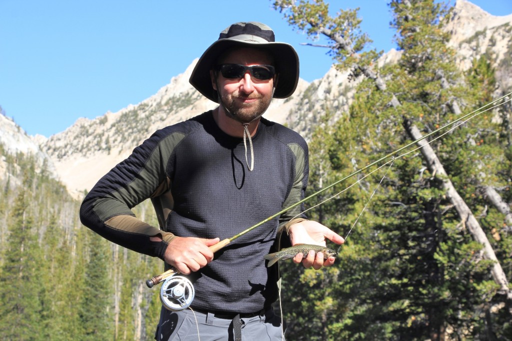
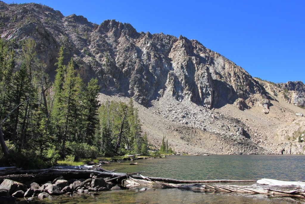
At Lodgepole we saw the only people we’d see all day. Two guys were camped at the end of the lake. One was a fly flipper and the other a photographer. We chatted for a few minutes. They had come in ahead of us the previous day and were surprised to see us. We told them where we were camped and how the elevation had done Lusha in. One laughed, “I’m glad I wasn’t the only one feeling that.” A bit later we saw another backpacker coming down from the upper lakes.
After fishing Lodgepole for a while I decided to work my way back down the lakes. I tried Sliderock and Shelf Lakes, but the breeze was pretty strong and the fish weren’t biting. I didn’t try Hatchet Lake because it didn’t look that fishy. Those feeling adventures can continue on to the upper lakes: Hidden, Hammock, Hourglass, and Scoop (elevation 9,755′).
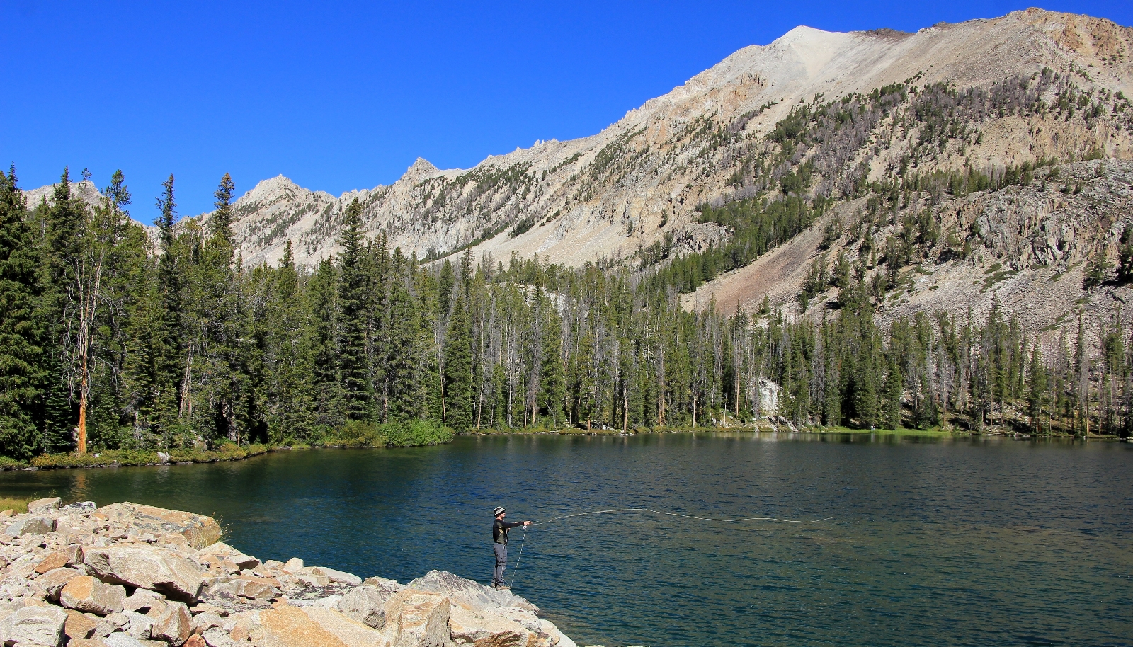
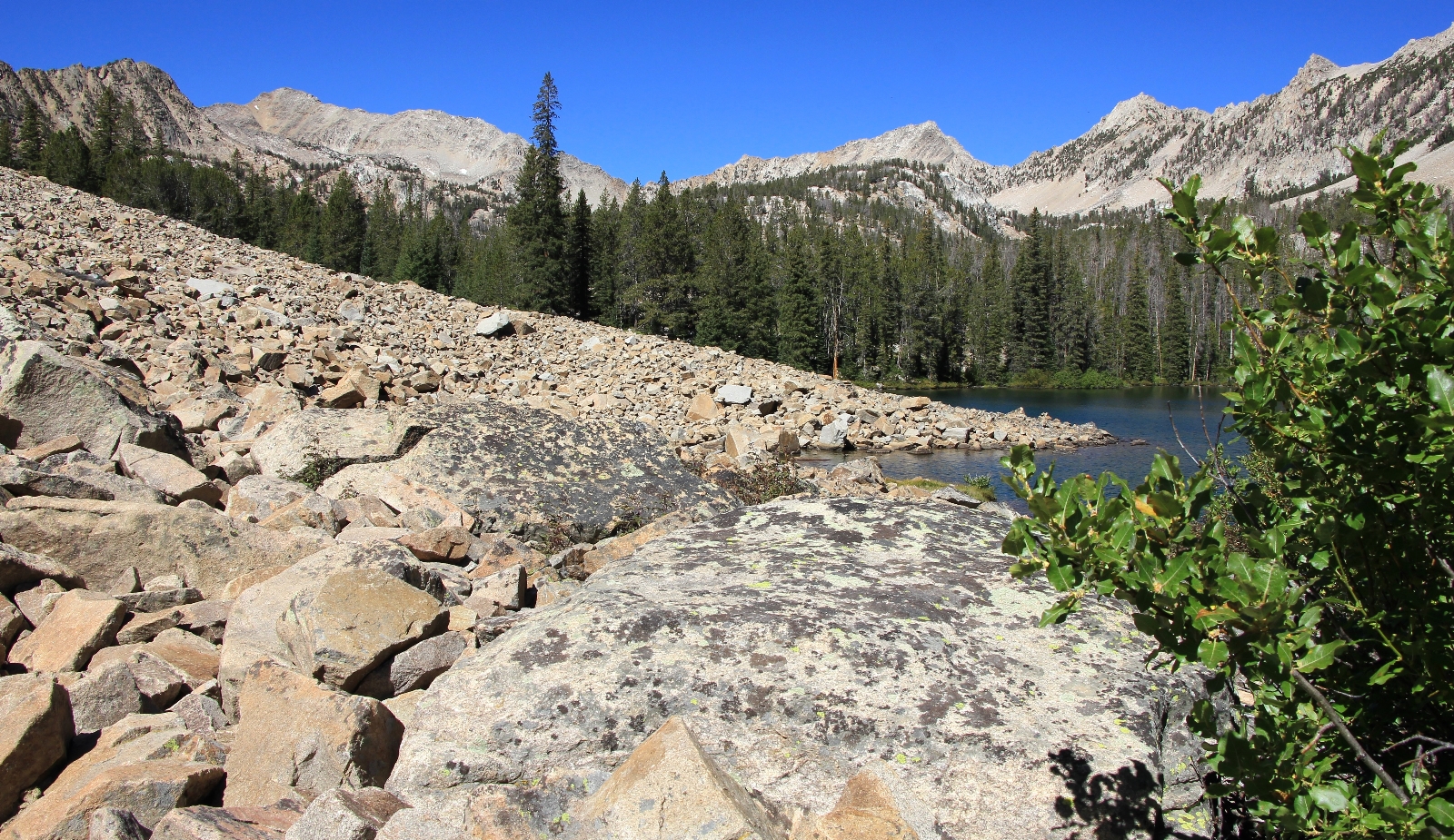
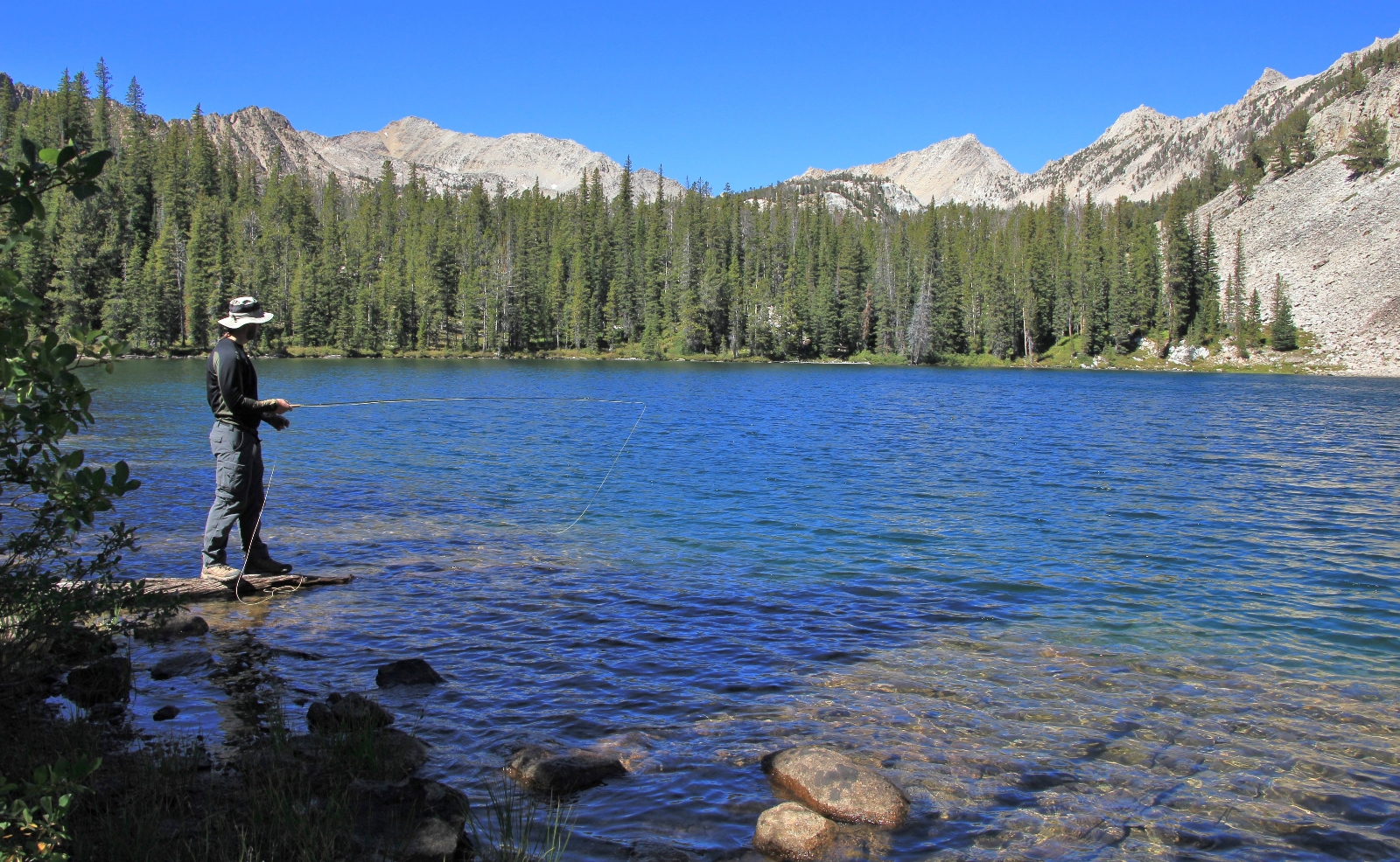
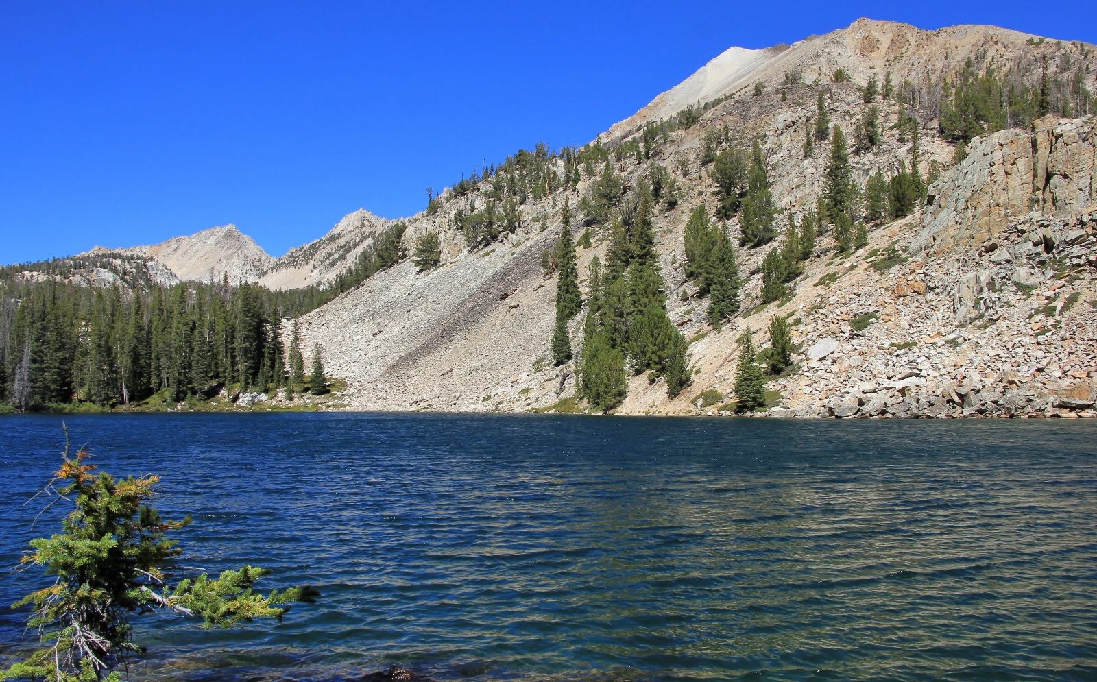
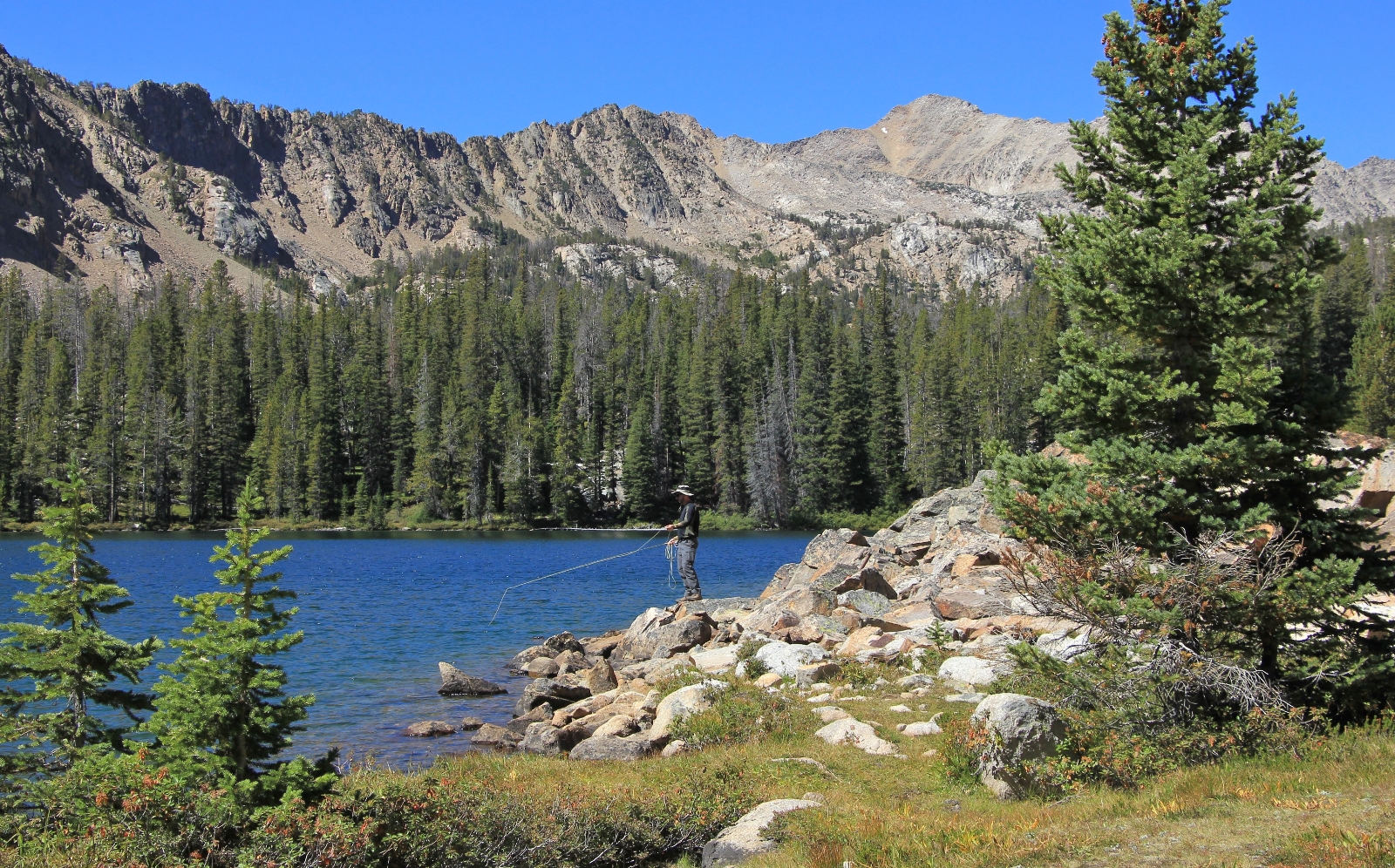
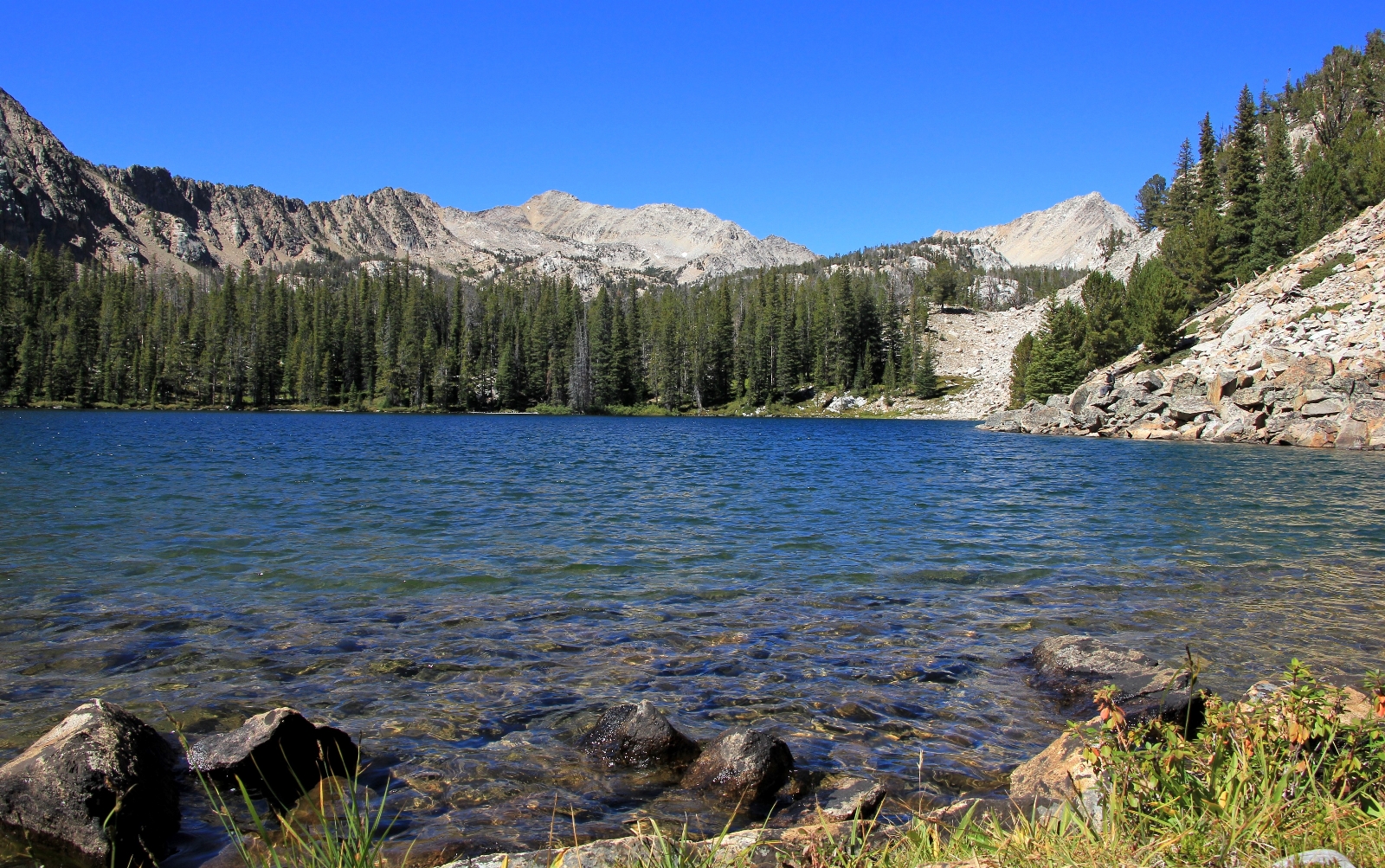
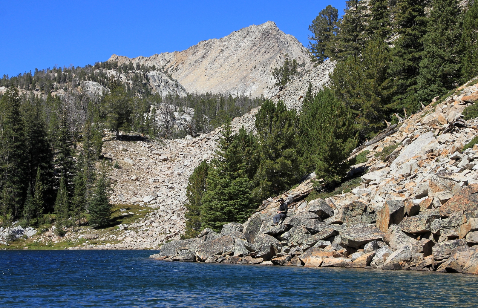
We got back to camp a little before 1:00 p.m. Lusha was a little disappointed we hadn’t hiked to the upper lakes, but she felt it was the right decision given the difficulties she was having with the elevation. Temperatures were in the low 60s. I took a nap in the tent while Lusha stretched out near the lake to read. After my nap I put on my sandals and fished around the lake a bit. We ate a dehydrated meal of stew and settled into the tent early to read. It had been breezy with occasional gusts all afternoon and that continued through the night.
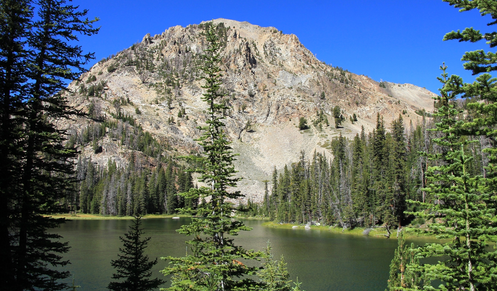
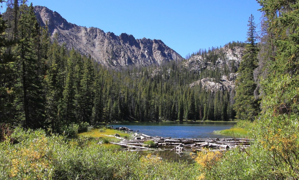
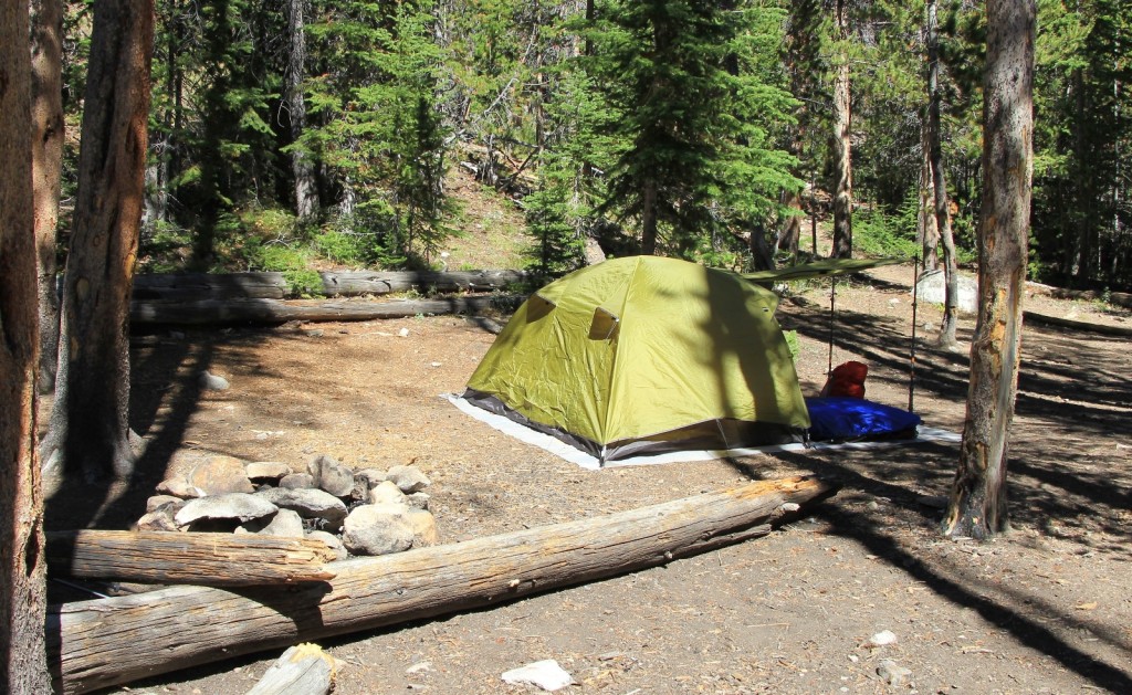
When we woke it was still breezy, but a relatively warm 40 degrees. We had a quick breakfast and broke down camp. We hit the trail a little after 7:30 a.m. and began the slow climb past Frog Lake to Red Ridge Pass. It was a beautiful morning with spectacular views of the peaks as we climbed.
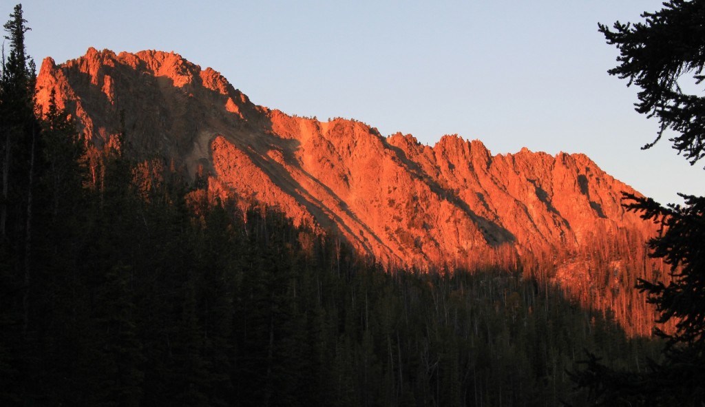
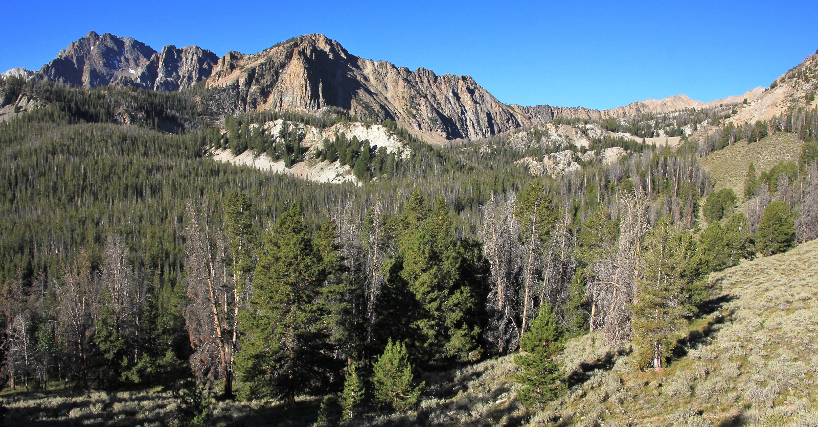
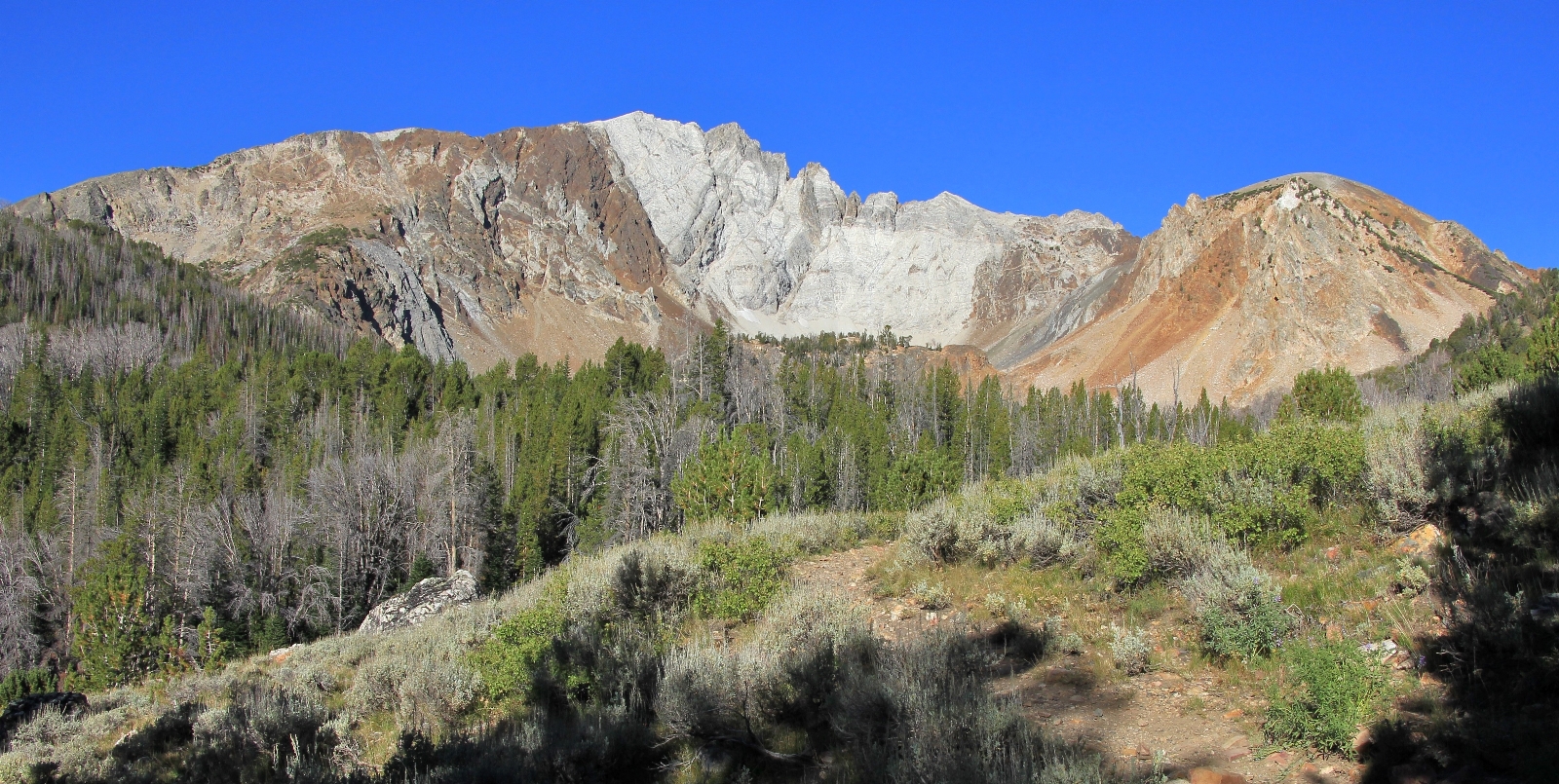
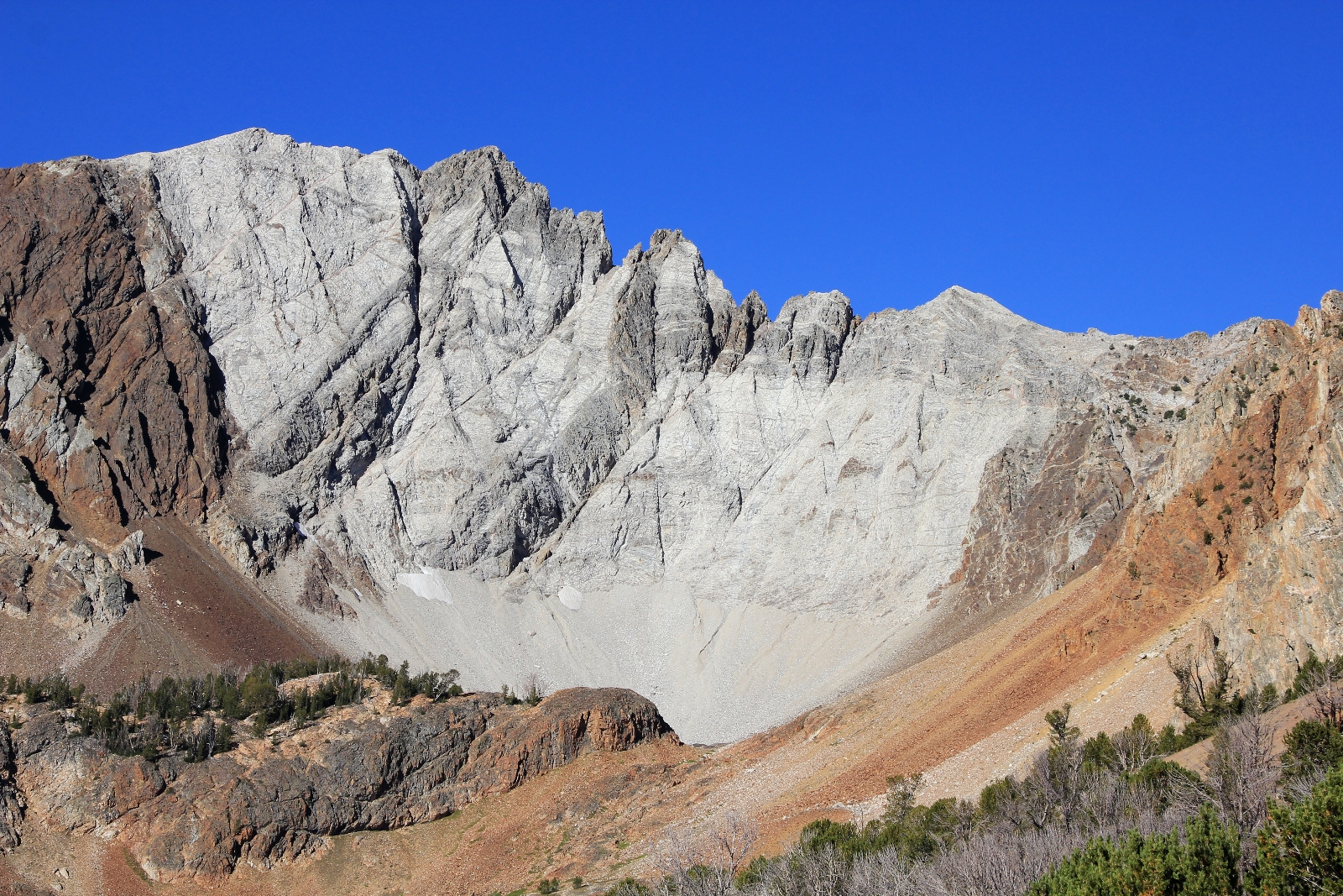
We took a little break part way up from Frog Lake and then a longer one at Red Ridge Pass.
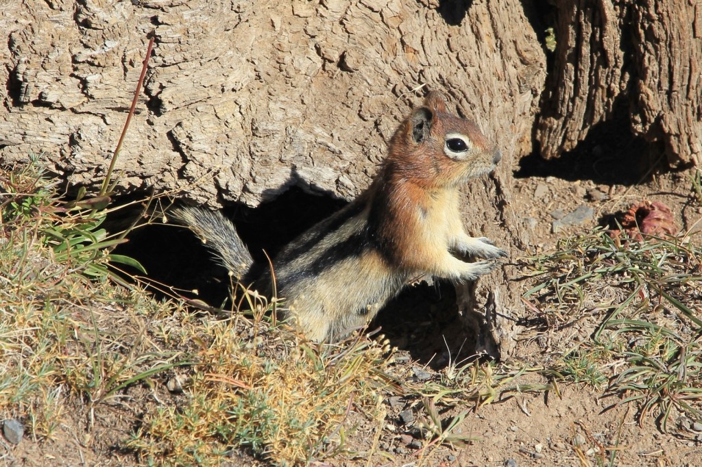
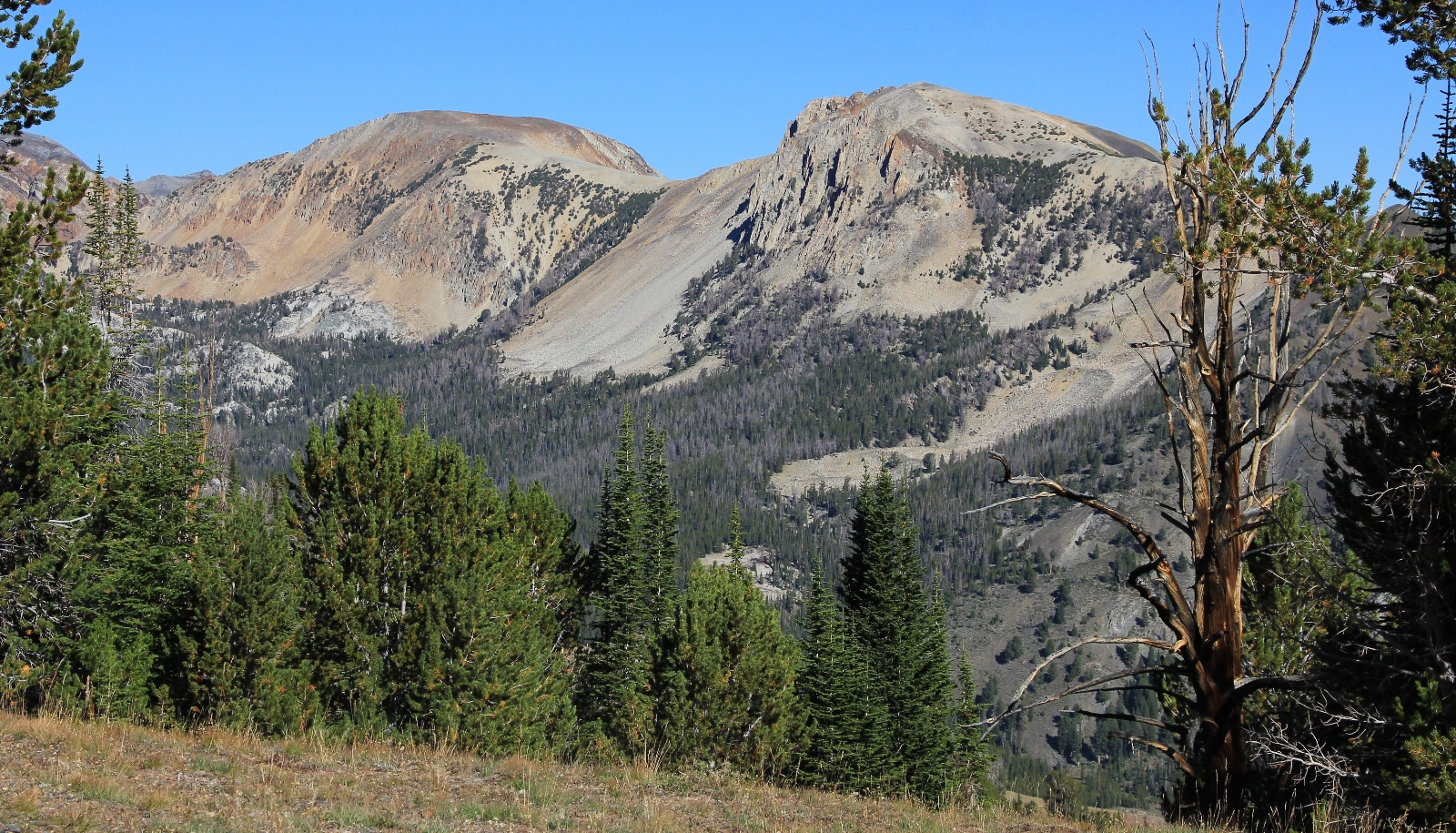
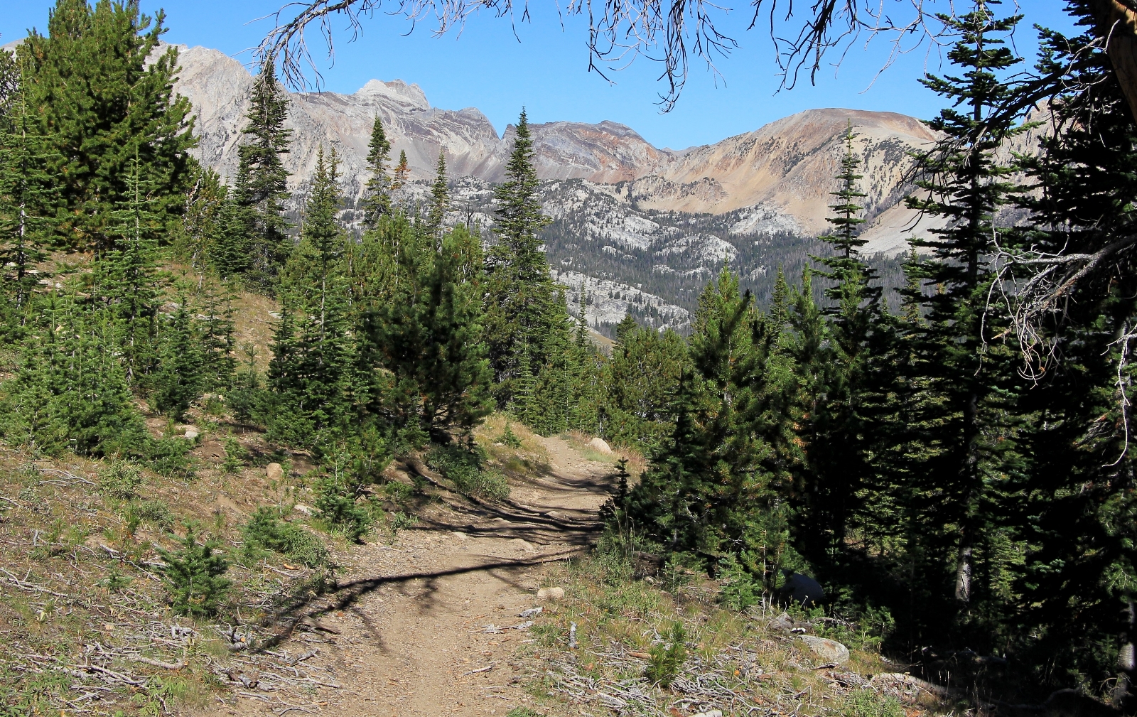
A little over half way down the descent off Red Ridge, we met up with a group of four backpackers. One woman was probably in her early 30s, but the man and other two women were at least in their 60s. One woman looked to be in her 70s—maybe this is a hobby we can continue for a while? When Lusha asked “how’s it going” one replied, “well, we’re still breathing!” They asked where we had come from. When we told them Chain Lakes they said they were headed there. They had never been there before so we made some recommendations. After a few minutes of chatting they thanked us for the information and continued on.
We took a break when we reached Big Boulder Creek and the trail junction with Island and Walker Lakes. We got back to the truck at 12:45 a.m. Over these three days we had hiked 20.75 miles with 3,567’ total elevation gain. I fell asleep within the first two miles of the drive out.
We pulled into Stanley a little before 4:00 p.m. and got a room at the Mountain Village Resort for two nights. As a bonus they have a private natural hot springs; you reserve a time so you have it to yourself. We booked it for the next hour, changed, and made the short walk down the hillside to a small cabin along the creek. The soak was a nice way to finish our little adventure in the woods. The following day we would hike Boulder Basin where Clint Eastwood filed Pale Rider.
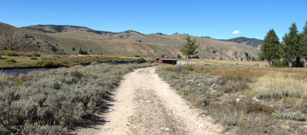
Directions to Big Boulder Creek Trailhead: From Stanley, Idaho, drive east 36.5 miles on Idaho 75 along the Salmon River. Turn south (right) on the East Fork of the Salmon River Road. Follow this 14.6 miles on pavement and another 2.9 miles on good gravel road before turning right onto Livingston Mill Road. This road is single lane and is quite steep for the first couple of miles. Follow it 4.2 miles to the sign for Big Boulder Trailhead. Turn left and drive 0.2 miles to the large parking area. Pit toilet is available.
Thanks for the good details of your trip! I’ll be going with some friends in about 6 weeks up to this area, and we are hoping for good weather like you had! Great pictures, and thanks again for the details
Have a safe and fun trip Mike!
Thank you! So I have a question for you… if you were to do this over again, and you were feeling 100%, which lake would you have camped at? There’s a lot of options and this will be my first time in this area, just trying to have an idea of which lake you enjoyed the most. Thanks!
Good morning Mike,
Sorry for the slow reply. We’ve been off the grid for several days. I hope this message gets to you before your big trip! If we do this pack again (which I hope we do), I’d put us at Willow or Hatchet for base camp and then day hike to all the upper lakes. As I recall, both of those lakes had very nice sites.
Happy trails!
Lusha
Is this a good hike to take my dog? He regularly does 12mile cc runs with us on mountain bikes.
Hi Mykal,
We aren’t dog owners, so we aren’t the best judge of good dog trails. I think most of the trail would be well suited for dogs, but there are some rocky areas that I would imagine could be a little rough on his pads? If your buddy has those adorable little doggie shoes then I think you’d be in great shape! It is also worth noting that there are wolves in this area. We had no problems, but I know it makes some people nervous.
Happy trails,
Lusha