Three day backpack into Utah’s famed Coyote Gulch
Distance: 26.5 miles
Type: out and back
Difficulty: moderate (beware of poison ivy, especially near the springs in Coyote Gulch)
Best season: spring and fall
On September 18, 1996, President Bill Clinton signed the proclamation creating Grand Staircase-Escalante National Monument (GSENM), the nation’s largest national monument at 1.9 million acres. The area is so remote and rugged that it was the last place in the continental US to be mapped (click here for a map of GSENM). Protected within the monument boundaries are countless historical sites and an explorer’s wonderland.
Over the years, we have enjoyed numerous day hikes within the monument, but never a backpack. A multi-day trip into Coyote Gulch, its perennial stream a tributary of the Escalante River, had been on our radar for six years and our September 2016 Utah trip finally provided the opportunity to check it off our bucket list. Coyote is one of the more impressive canyons of the Colorado Plateau and certainly one of the most popular backpacking destinations. It has been featured in Backpacker Magazine multiple times and is not a place to find solitude. What one does find, however, is an oasis in the desert—literally. Navajo sandstone walls rise high above a perennial stream. Massive alcoves, two arches, a natural bridge, springs, and waterfalls make this one of the most stunning slickrock canyons in the West.
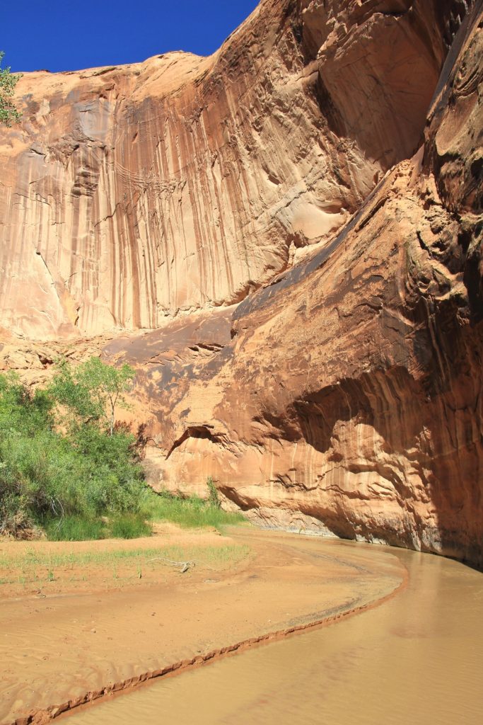 We began our trip with a fun day hike at Red Canyon, near Bryce Canyon National Park. That evening we found a quiet campsite off an area back road. The forecast called for a clear night, so I had Jason leave the rain fly off the tent for some star gazing… Monday morning we awoke at 5:00 a.m. to find a layer of frost covering our sleeping bags! It was hard to emerge into the darkness and brisk 28 degrees, but Coyote was calling. I made us a quick cup of coffee to warm up and then we went to work in the dark. We broke down camp, added a few last minute items to our backpacks, then we made our way over to Bryce Pines for breakfast. We both had their western omelet and several cups of hot coffee, fueling our bodies for the hike ahead.
We drove east along highway 12 to the small Mormon pioneer town of Escalante. Our first stop was at the Grand Staircase-Escalante National Monument Visitor Center on the edge of town. Several days of heavy rains hit the area a few days before our arrival and I wanted to check on conditions in Coyote and the notoriously bad Hole-in-the-Rock Road (HITR). I was told that HITR was “its usual miserable self”. Otherwise, we should have a good hike. The very nice woman gave us a few tips about Coyote, issued our permit, and then handed me two small packages in white plastic bags. I had heard that a policy of “pack out your poo” had been implemented a few months prior, now I had my confirmation that it was true. I was impressed they handed out free kits. This was our first time having to bag our waste, but in the end it wasn’t a big deal. In fact, we returned to the same visitor center a few days later and thanked them for implementing the policy. Over the course of three days in Coyote, we’d see several examples of why it was needed.
This was our third trip down HITR and it was indeed “its usual miserable self”. Mostly it was bone-jarring washboard, but there were also rough stretches with rocks to negotiate. In other places it was squishy from the massive rains and flooding. It took us roughly an hour to make the nearly 34 miles to the Hurricane Wash Trailhead where we found 2 other vehicles.
I really have to give Jason credit for his trust in me. Hurricane Wash Trailhead (elevation 4,580’) is quite frankly a desolate and uninviting looking location. If someone were to drive me here and say, “we’re starting a three day backpack” I’d tell them they were crazy! There are several other access points, but Hurricane is a technically easy approach even though it is long and a bit of a slog.
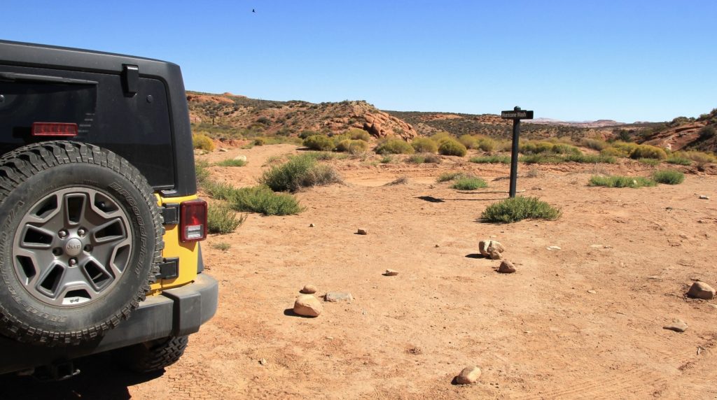
On Monday, September 26, 2016 almost twenty years to the day after President Clinton protected GSENM, we began our three day backpack into Coyote Gulch. Miserably, it was just shy of noon when we started. Temperatures were in the low 70s, but it felt much warmer as we started across the desert with the sun baking down on us.
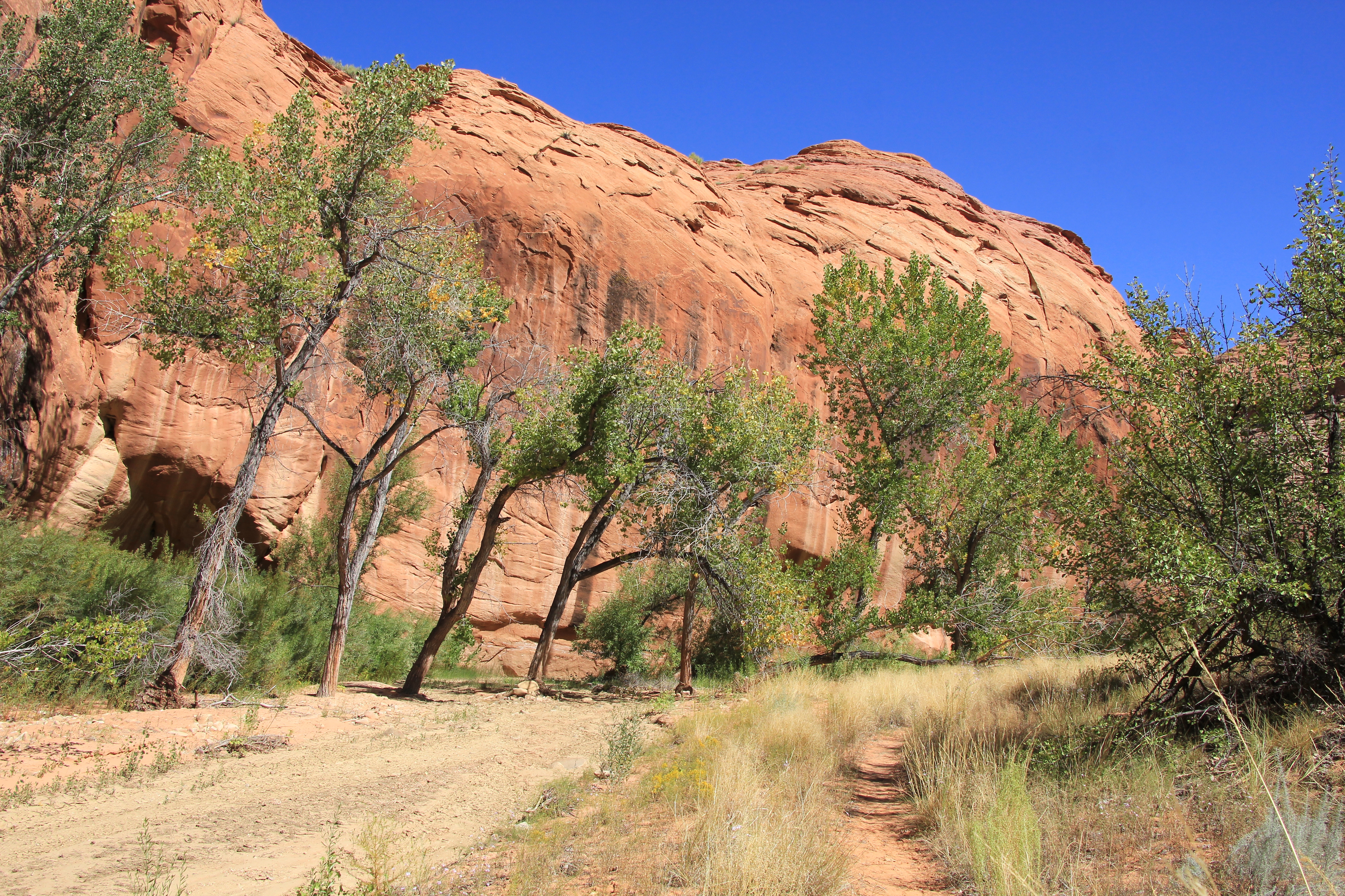
At first, the trail followed an old road across sagebrush covered desert with very little in the way of interesting scenery—other than we always enjoy desert scenery. As one guidebook stated, this stretch was the price of admission. We only saw one other person on our way in, an older gentleman resting in the shade of one of the very few trees we saw in the first couple miles of trail. Initially, we followed a well-worn and distinct hiker trail which dipped in and out of the wash. After roughly a mile and a half, the bottom of the sandy wash became our trail. There were occasional rocky stretches, but overall the hiking was easy.
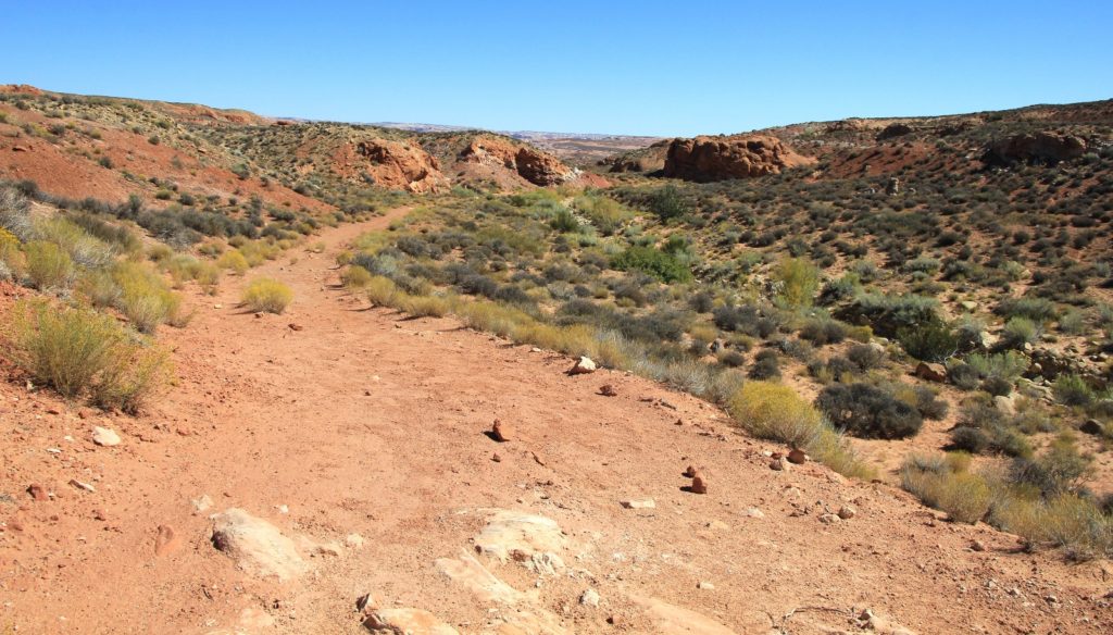
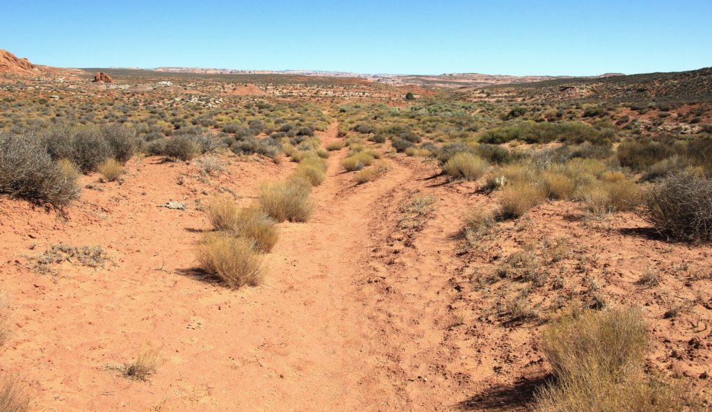 Slowly, but surely, the scenery became more interesting as the wash walls began to grow taller around us. We had nice red rock domes on both sides that reminded me of Willow Gulch. At one point we even had a short, but sweet slot canyon section. At about 3.0 miles, we officially entered Glen Canyon Recreation Area. By now, the canyon was deep and narrow with the number of trees and brush increasing, but we weren’t seeing any water yet.
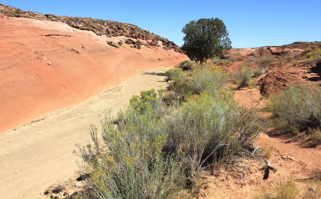
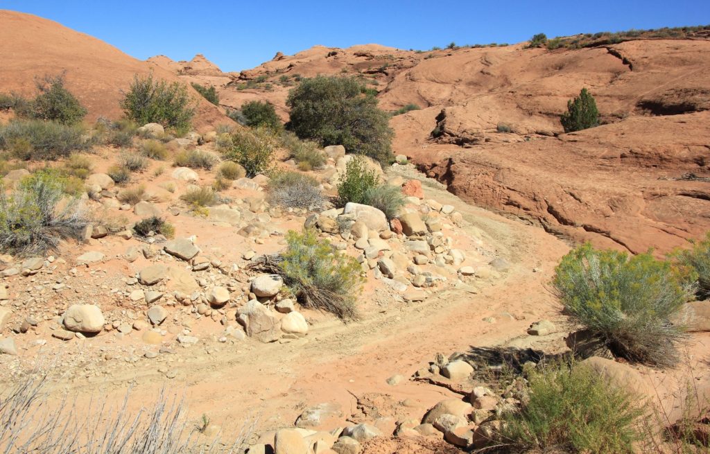
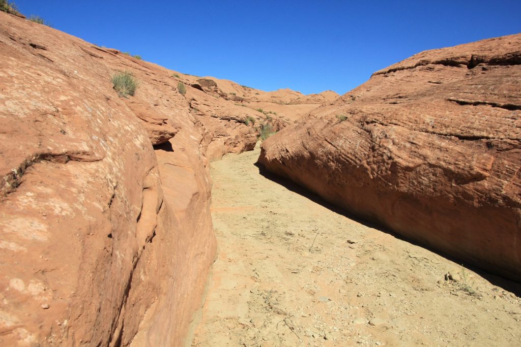
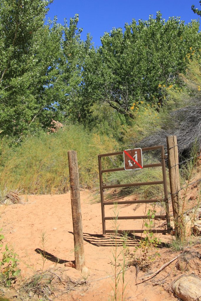
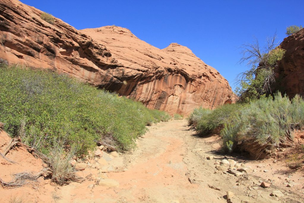 By the time we reached the hiker gate, the canyon was quite lush and we started seeing water. First it started with an intermittent trickle, but soon we were hopping across the little stream as the trail made its way from side to side. Conditions didn’t feel nearly as warm now that we had more shade and conditions were much lusher. Navigation was easy and there were only a couple times that it wasn’t super clear where we should go.
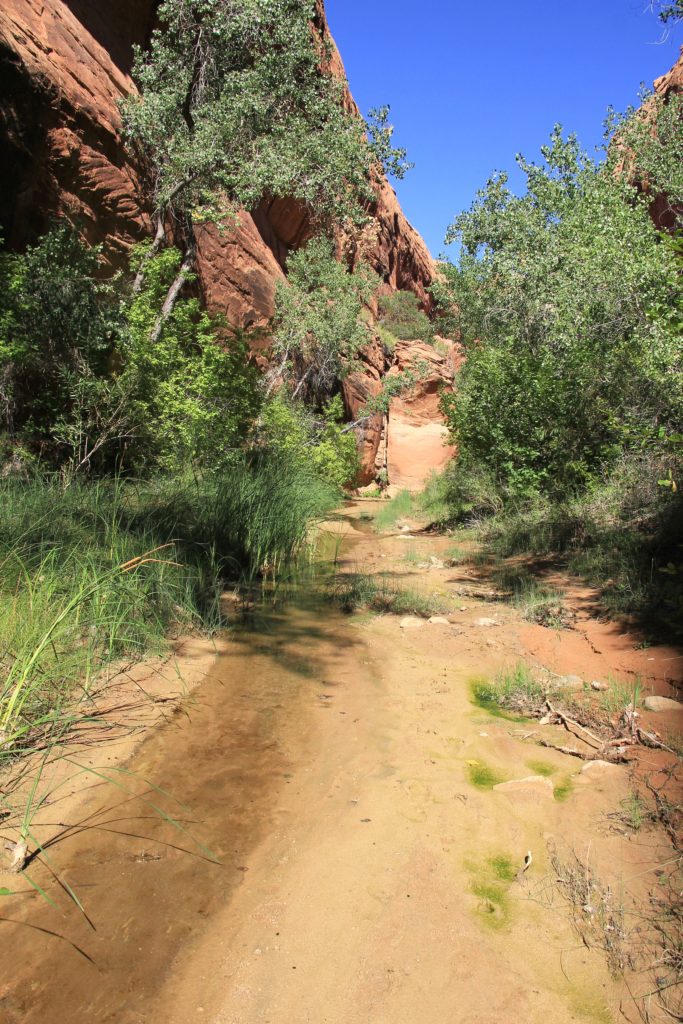
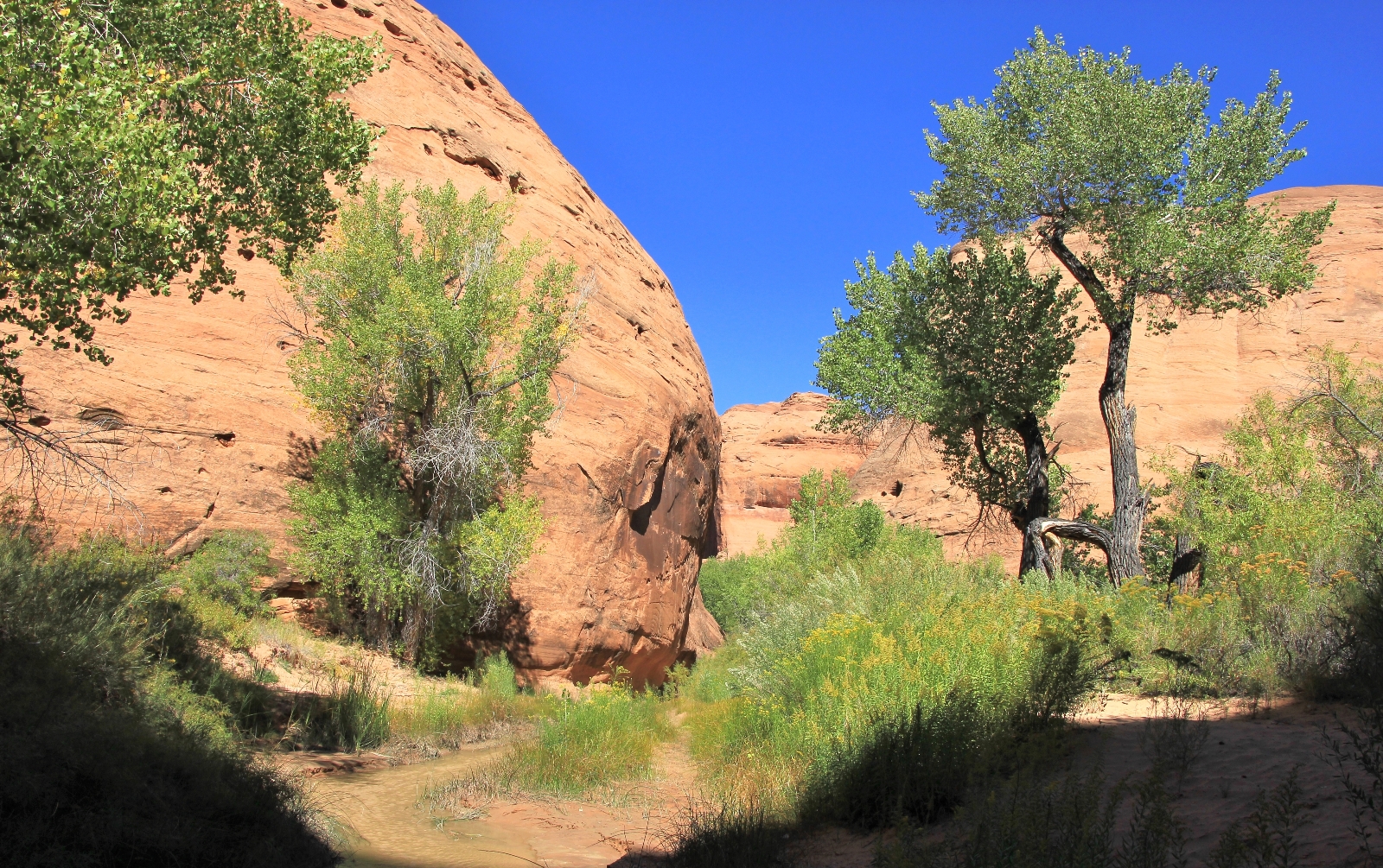 At 5.5 miles we reached Hurricane’s junction with Coyote Gulch at 4,067’ elevation. Coyote and its stream were significantly larger than Hurricane. Immediately I noticed that the stream was much muddier than I expected, no doubt from the recent heavy rains (the next day we talked with a backpacker who confirmed the water is usually much clearer). At the junction, we had to cross Coyote—our dry feet would end here.
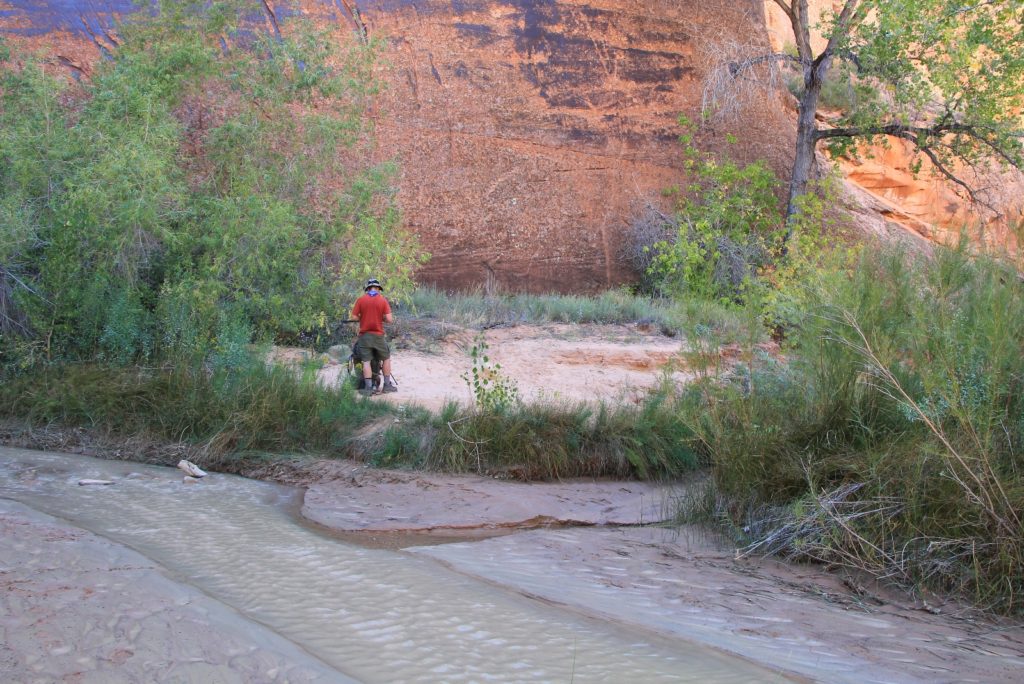
We turned right and made our way down the canyon. At times we were hiking above the stream on a bench and at others we were along the water’s edge. It didn’t take us long to learn that frequently the path of least resistance was hiking in the streambed. Climbing up to the shortcut trails across the sandy benches was frequently more effort and less scenic than staying along or in the streambed. This tactic is actually recommended as it minimizes human impact and the creation of social trails within the narrow canyon. The water depth was usually mid-calf and rarely more than knee deep with very comfortable temperatures.
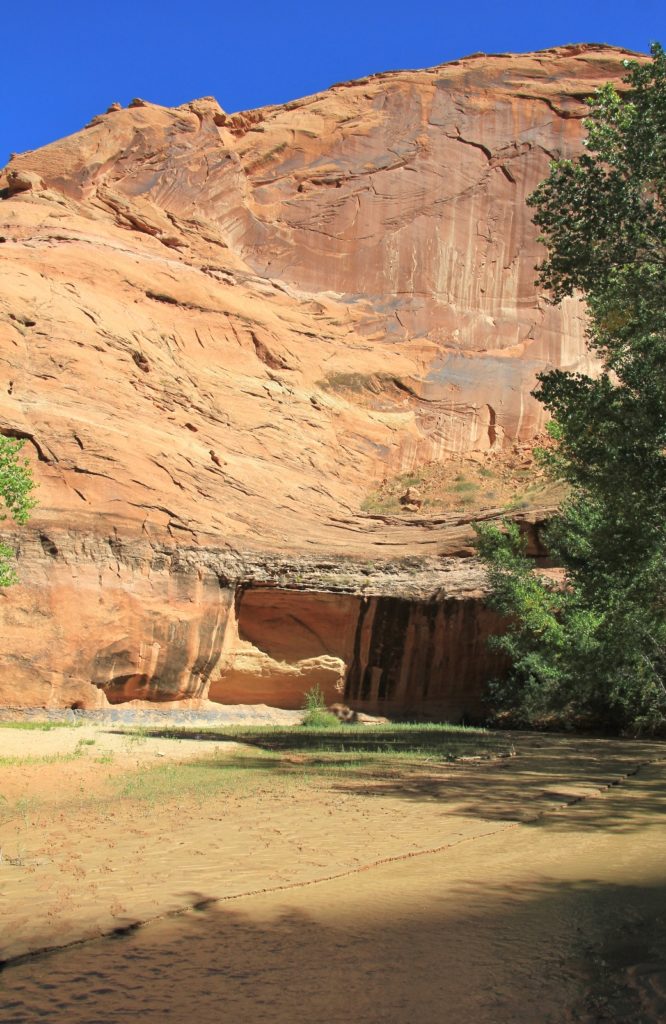
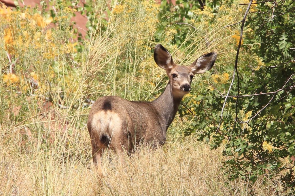 By now the canyon walls were towering hundreds of feet above our heads and the scenery improved with each passing bend. One of our guidebooks stated that the canyon walls are over 600’ high in places. Massive alcoves started to appear, places where the stream had undercut the sandstone cliffs. Hiking was easy and it was an enjoyable two miles down to a massive alcove where we decided to set up camp. We were still upstream of Jacob Hamblin Arch, but I didn’t know by how far. My feeling was that we wanted to be close, but not right at the arch since that is the most popular location in the canyon.
 We set up camp on a sandy bench overlooking the stream and at the base of a massive alcove. We didn’t realize it at the time, but we were in the alcove our hiking description called, “the most outstanding amphitheater in the gulch.” We were on the south side of the canyon, 7.5 miles in from the trailhead and at 4,050’ elevation. We should have reached Jacob Hamblin at 7 miles, but we guessed our mileage ran high since we had primarily followed the meandering streambed down Coyote.
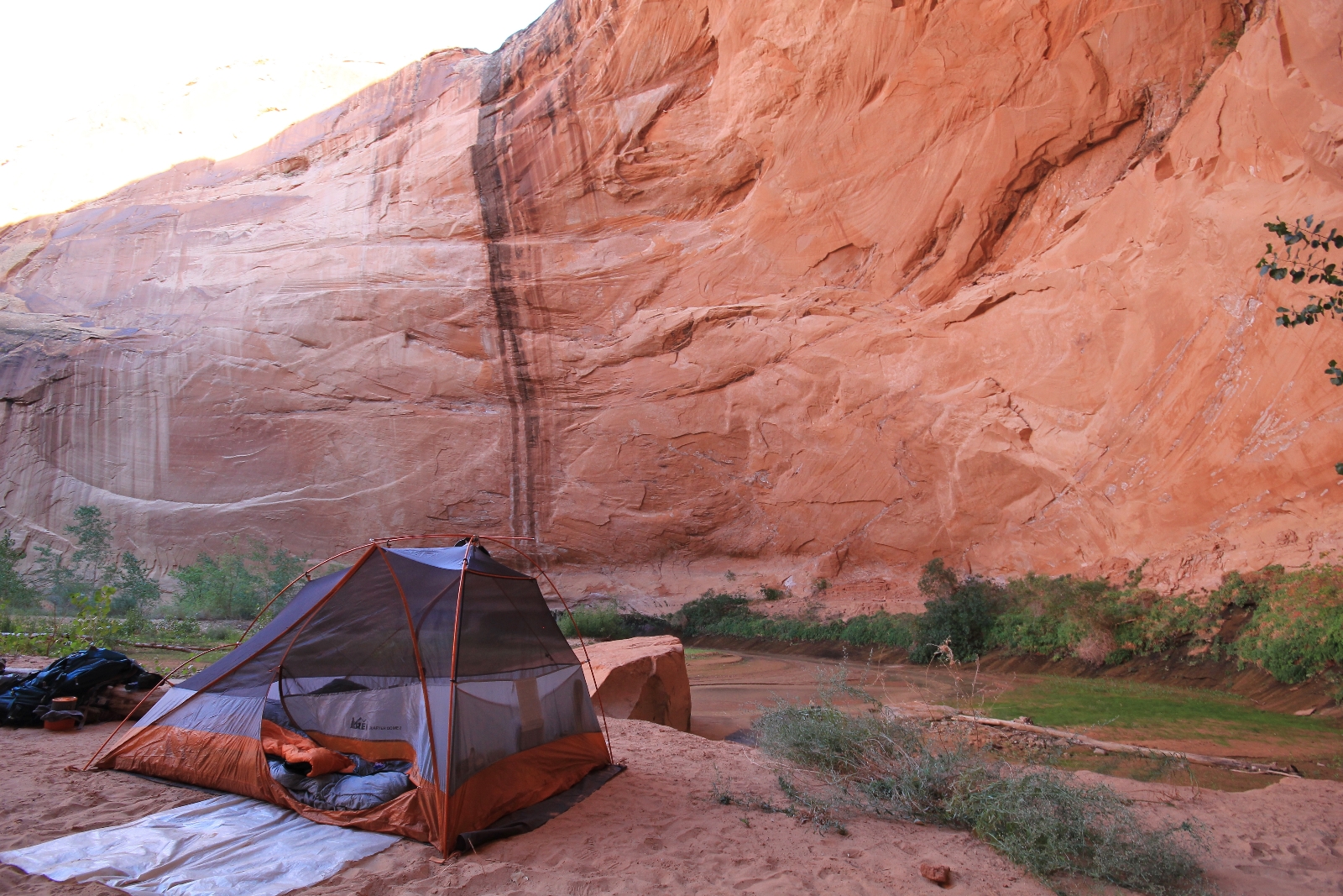 Jason noticed an area of water just across the stream from camp where the recent rains had raised the stream level. Then as the level dropped, a pocket of water remained and the sand/dirt had settled out. Filtering water here would be much easier than from the silty, turbid water in the main channel. After setting up camp, we went over to filter water and I realized we were looking up at the top of massive Jacob Hamblin Arch— it was just around the bend from us.
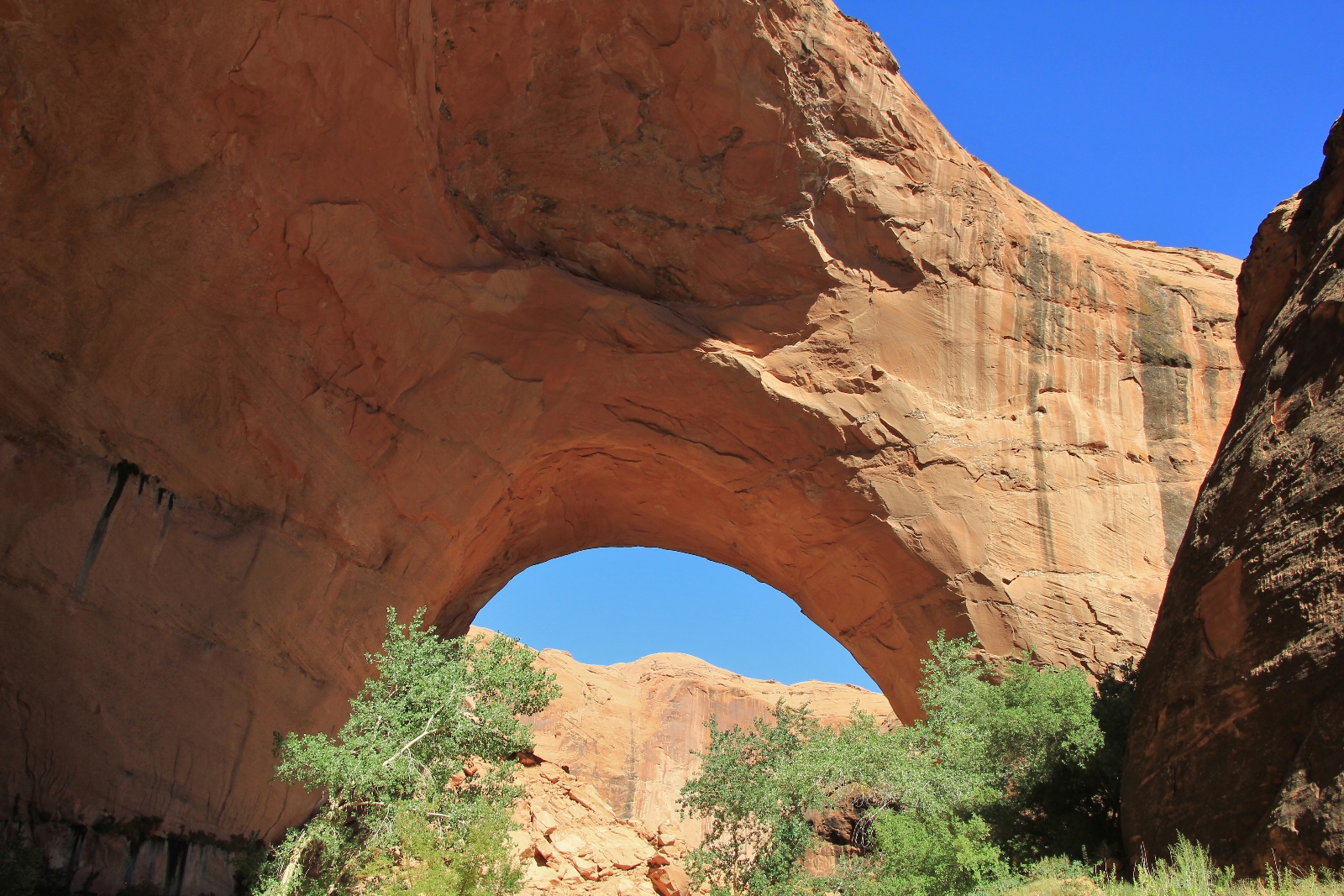
Before dinner, we explored downstream. Just around the corner from camp, we came to massive Jacob Hamblin Arch, named for a scout and Indian missionary for Bringham Young. The opening is just 150’ wide x 100’ high, but it has massive sandstone columns for support. It towered above us. Just downstream the canyon narrowed, the sandstone cliffs towering above us and blocking out direct sunlight. This was one of the more impressive feeling sections of the canyon for me. I felt so small and insignificant. I was overwhelmed in a very humbling way. We continued a short distance further to a massive alcove with beautiful hanging gardens.
 Back at camp, we had a chicken and rice dehydrated meal with a side of couscous for dinner. While eating, we chatted with an older couple who were just arriving. They were from the Berkley area and had driven their Honda Civic down HITR Road. They wanted to stay two nights, but were concerned about getting their car out if it rained at all. Having owned a Civic, I was super impressed that they had navigated theirs over some of the ruts we had seen.
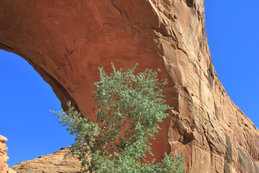 We headed into the tent around 7:30 as the remaining daylight was fading fast. We left the rainfly off and the view above was amazing. The giant alcove curved out over us and we had an unforgettable view of the stars above the canyon. A family of ravens flew into a depression in the alcove wall and settled in for the night. Frog and cricket songs echoed off the canyon walls. The high pitched chatter of bats sang us to sleep. What a magical place we found ourselves part of.
Directions to Hurricane Wash Trailhead: from the east side of Escalante, Utah, travel east on highway 12 4.5 miles and turn right on unpaved Hole-in-the-Rock Road. From there it is a rough 33.8 miles to the trailhead where you will find no amenities. Note that Hole-in-the-Rock Road is typically very washboard, rocky in places, has a few deceptively steep descents in and out of washes, and can be difficult even for 4WD vehicles after a rain. A permit is required to backpack Coyote (acquire at a monument visitor center or self-register at the trailhead).