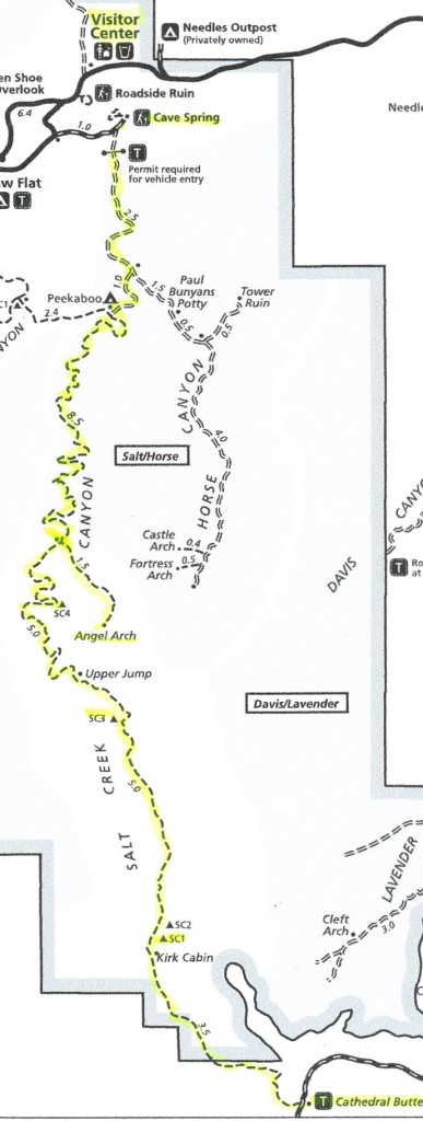
Length: 35 miles +/- depending on side trips
Difficulty: moderate (first mile due to descent) then easy (for a backpack of this length)
Type: out and back or thru hike with shuttle
Best season: spring & fall
Salt Creek in the Needles District of Utah’s Canyonlands National Park is a premier backpack that takes hikers through a red rock wonderland of spires, arches, ruins, and rock art. Don’t let the lack of a sexy name fool you. Salt Creek provides stunning beauty for those who appreciate the wonders of the Colorado Plateau.
This is a fragile desert environment of high historic value. Please do not touch the artifacts and leave things as you found them for others to enjoy.
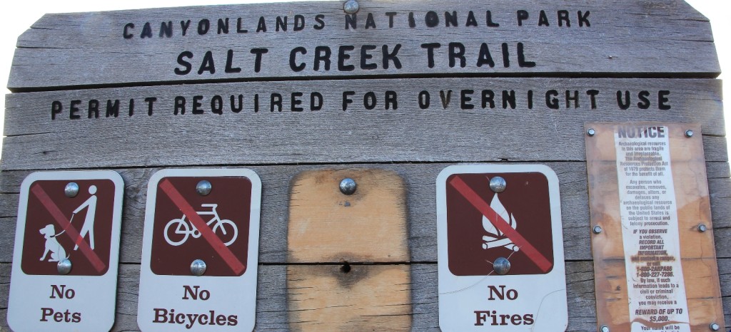
Backcountry permits are required for overnight stays in Salt Creek. Camping is permitted in designated sites only for Upper Salt and bear canisters are required for food. The small number of permits (4 in Upper Salt and 4 in Salt/Horse Zone) limits the number of visitors to the canyon allowing for a wonderfully lonely backcountry experience. Permit demand, especially for spring and fall permits, is high so I made reservations in February for our May trip.
Originally I planned our backpack as an out and back. At the last minute, our friend Lisa emailed and was in. We were thrilled to have Lisa joining us! She is a fun and outgoing personality who lights up any camp. Additionally, the second vehicle would allow us to do a thru hike that would include Angel Arch which would otherwise be a two day backpack from the opposite direction. Luck was on our side—we managed a last minute permit swap for night three which was required for our plan to work. We were set.
On the morning of Thursday May 7, 2015 we met Lisa in Moab then made the drive to the Needles District Visitor Center backcountry desk to pick up our permit. While there, we inquired about road conditions to the Cathedral Butte trailhead. Several large storms had dumped significant precipitation over the past week and Utah’s clay roads are notoriously treacherous when wet. The ranger confirmed that we should be able to make it up to Cathedral Butte, but warned there was another series of storms predicted to hit during our backpack that could make returning to pick up our shuttle vehicle questionable. We were already aware of this forecast and it would make Lisa and I a little nervous for the duration of the backpack, but not enough to stop us.
We dropped our truck off at the Cave Springs trailhead near the visitor center, loaded our gear into Lisa’s Subaru and hit the road. We exited the park and drove approximately 15 miles to the right hand turn onto Beef Basin Road. Almost immediately you encounter a significant stream ford and then it is 17 bouncy miles to Cathedral Butte. The road had a few slick patches of clay, some climbs, narrow stretches, and one nasty stretch near the top that was clay base, single lane, and sheer drop off to the side. That was going to be our problem spot if it rained before we could get Lisa’s car out, but it was no problem for now.
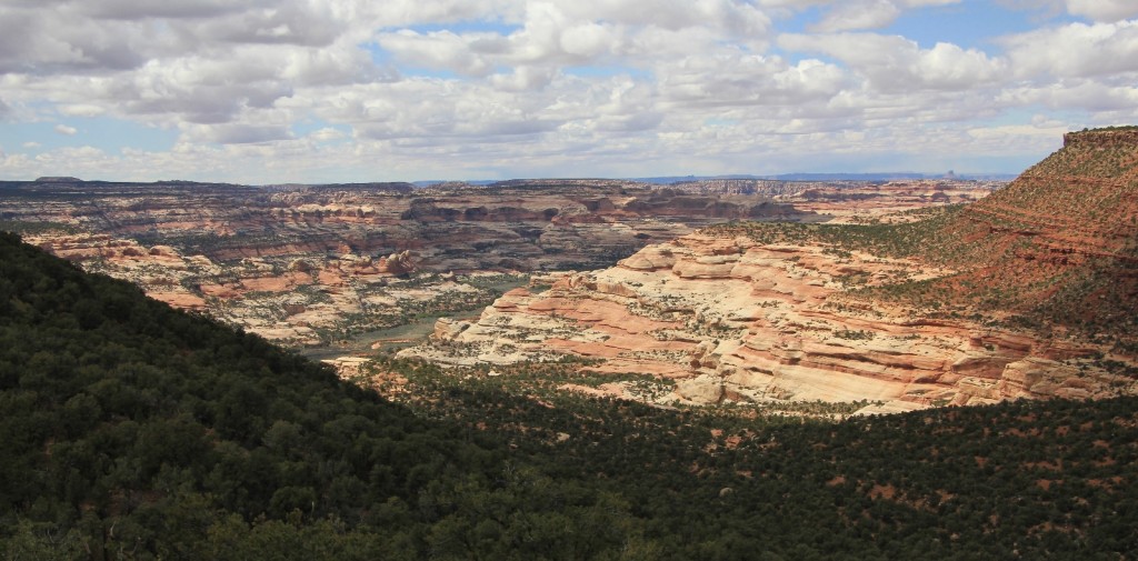
Cathedral Butte trailhead (N 37°57.0095’ W 109°42.3825’ elevation 7,075 ft) is well signed, has ample parking, and offers commanding views of the Salt Creek drainage below. There were only a few cars when we arrived, including a 4×4 Toyota truck that was caked from top to bottom in red clay.
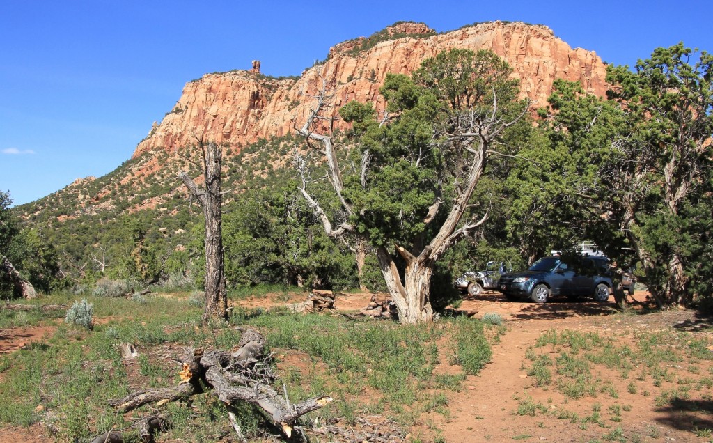
It was 4:00 by the time we started our descent into Salt Creek Canyon. This was a later start than we had planned, but we were on our way. It was a beautiful afternoon with sunny conditions and temperatures around 70 degrees.
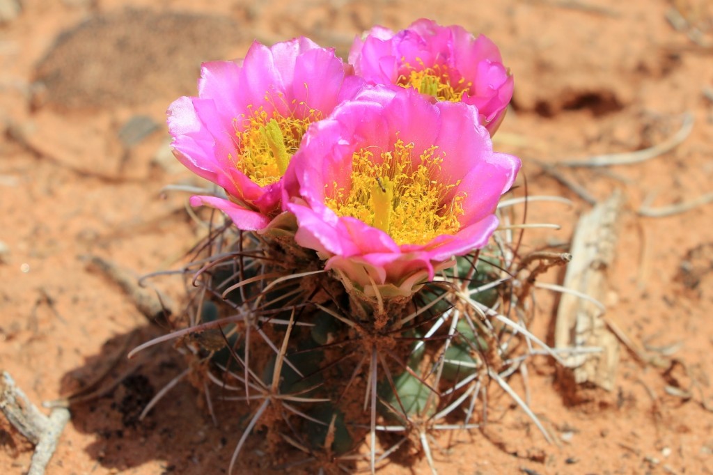
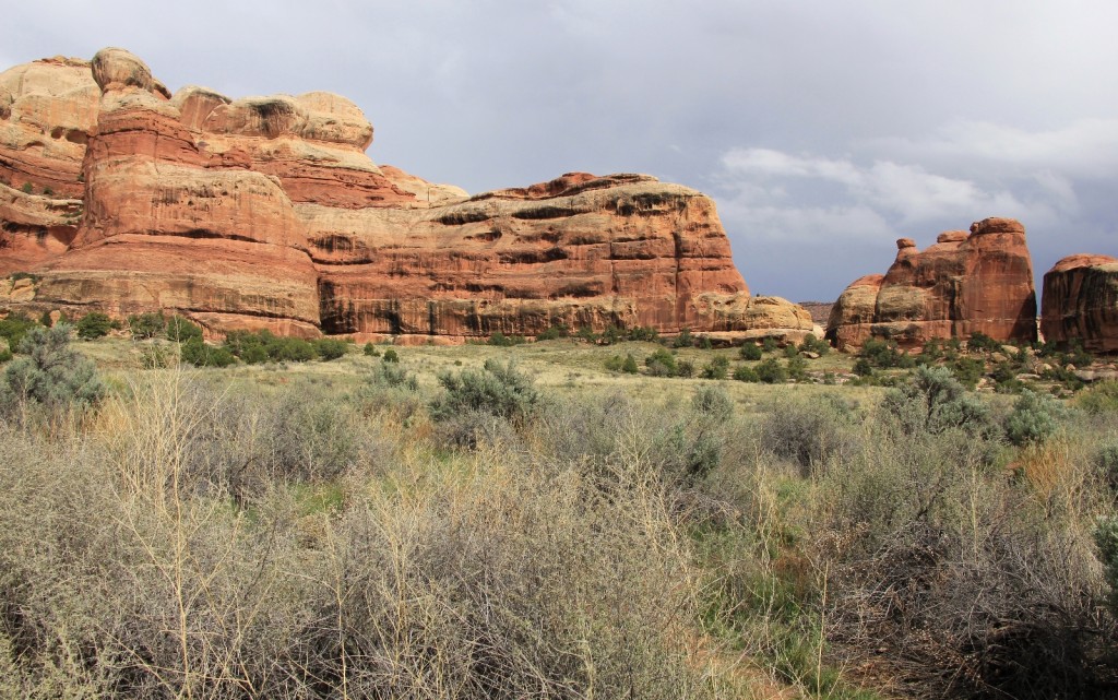
The trail initially follows the P-J forest rim providing phenomenal views of the East Fork of Salt Creek Canyon before plunging you over 1,100 feet down into the canyon in very short order. The descent was quite steep with a loaded pack, but not as bad as I had anticipated and the stunning views provided a great distraction. The recent rains really brought out all the wildflowers and blooming cacti. The desert was more colorful than I had ever seen.
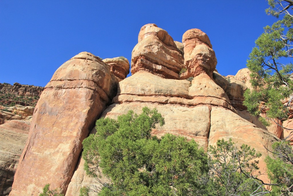
We passed two backpackers on their way out and chatted for a few minutes. The muddy truck we had seen belonged to them. They had driven in two days prior and told us of sliding off the road in multiple places due to slippery sections of clay. This was our only trail traffic on day one.
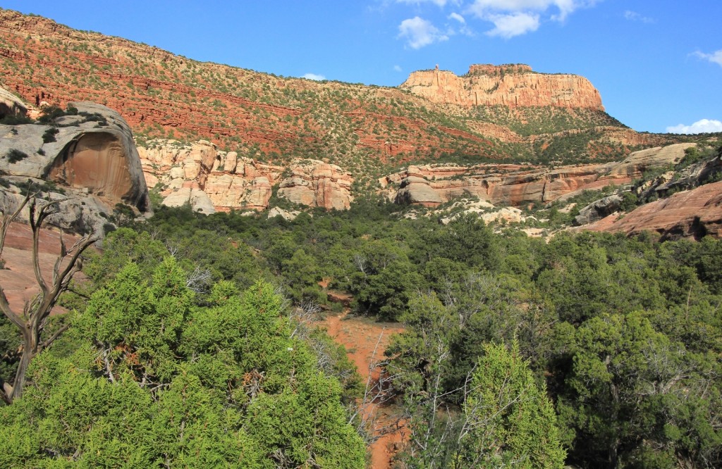
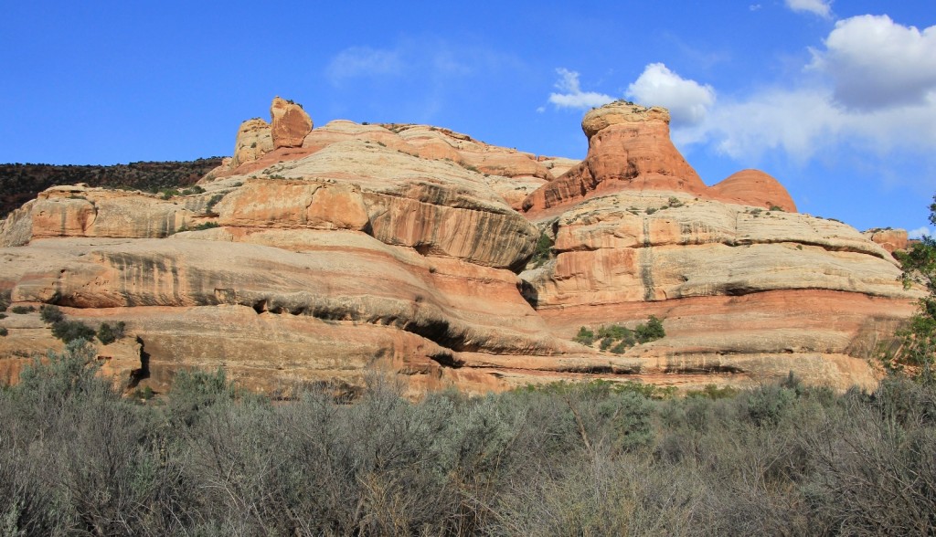
Upon reaching the canyon floor, the trail follows in and out of a dry wash area for a short distance leading to a flat of sage brush surrounded by typical Needles canyon walls. Soon, you reach the official park boundary and a sign announcing Salt Creek.
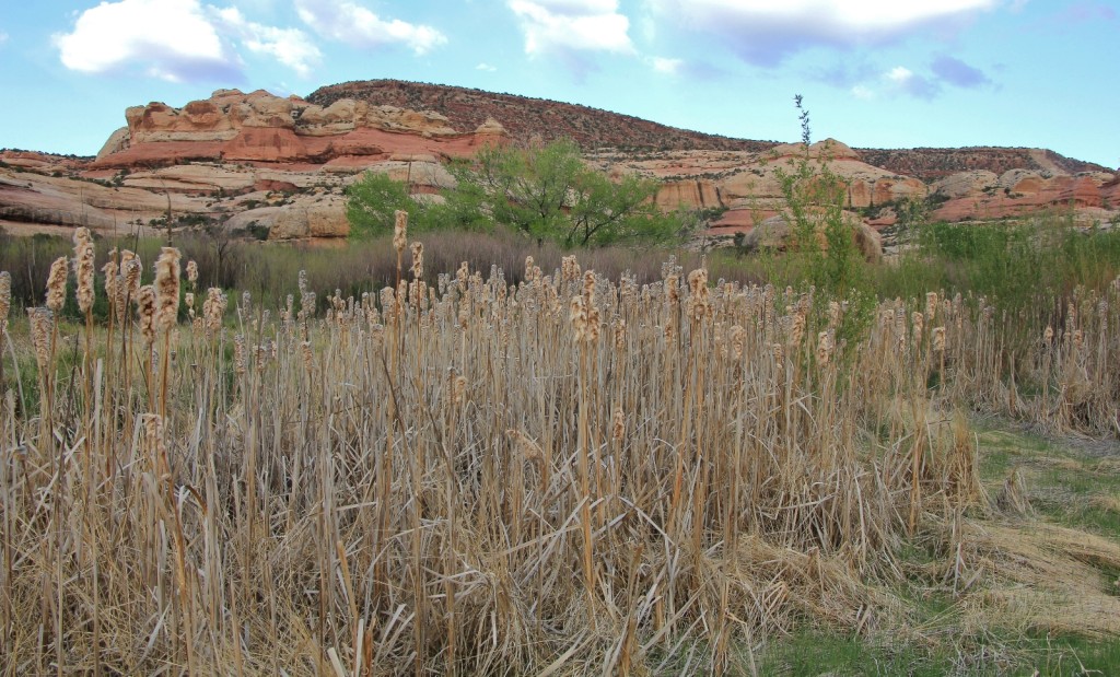
Next up was a marshy area of thick tamarisk trees, grass, and scouring rushes that I had read can be difficult to navigate. Fortunately, the park had red ribbons tied in places, leaving only a few mildly challenging spots.
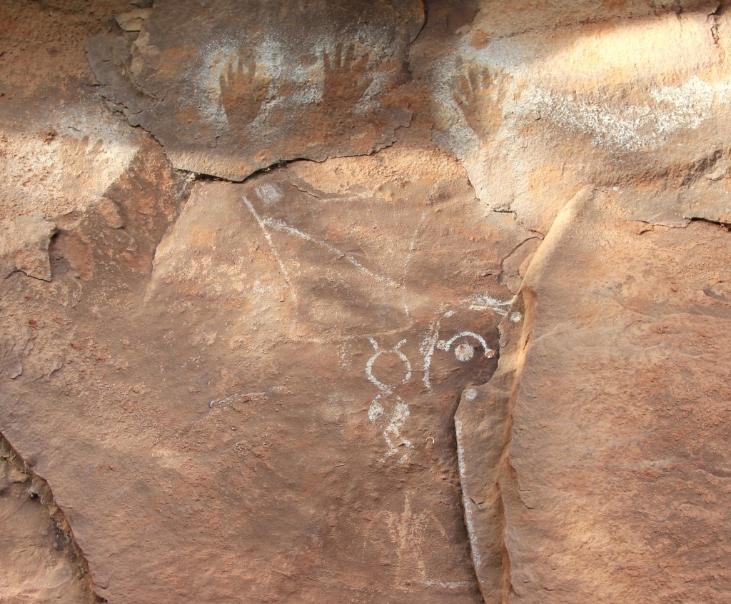
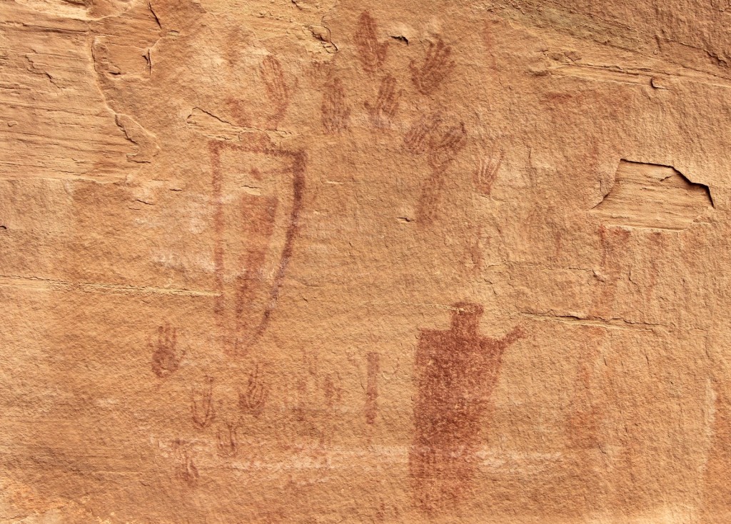
After exiting the marshy area, the trail curved close to the cliffs on the right bringing us to our first pictograph panel.
We continued a short distance to our first water source. Here, Salt Creek flows year around over large rocks and into a deep pool. The water was very clean looking and of good flavor. We filtered a couple liters for camp.
Just past the spring we came to Kirk’s cabin (N 37°58.9867’ W 109°44.7212 elevation 5,928 ft). Kirk was an area cattle rancher around the turn of the century. His cabin and wagon are in good condition for their age. I can see why Kirk chose this location—fresh water close by and a stunning view.
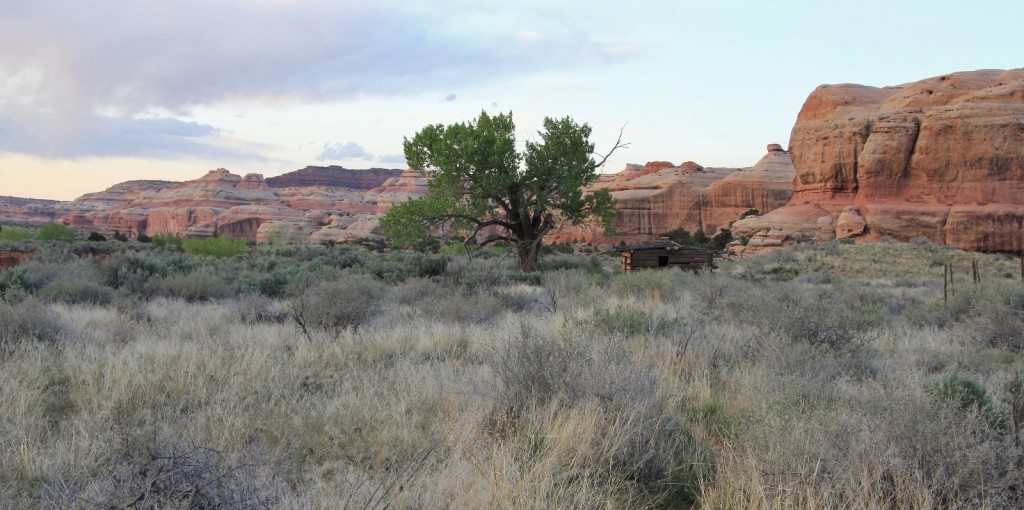
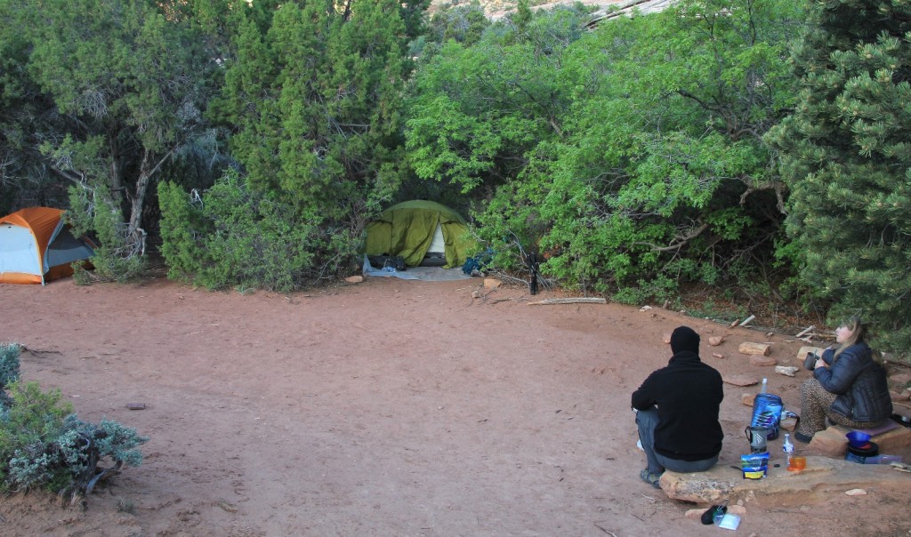
We snapped a couple quick photos then continued down the trail a short distance to the spur trail to SC1 and SC2. Our permit was for SC1 located at N 37°59.0586’ W 109°44.5330’ elevation 5,933 ft We followed the signs and found ourselves at a lovely little spot snuggled up against the cliffs, approximately 4.7 miles from the trailhead.
We were able to get our tents up just before dark followed by a romantic dinner of dehydrated fajitas by headlamps. Temperatures remained moderate as we chattered the hours away. Nearby SC2 had been reserved for the night, but no one ever arrived. We had the canyon to ourselves and enjoyed complete silence.
Friday morning there were a few clouds in the sky, but it was a mostly clear morning with a temperature around 50 degrees. We crawled out of our tent and tried some Starbucks Avia coffee. For instant coffee, it turned out to be the best we had tried. Jason had a Mountain House dehydrated egg breakfast and I had 2 packets of oatmeal.
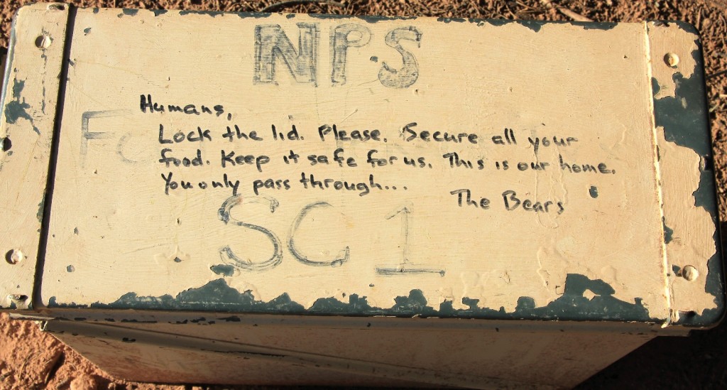
We didn’t have much daylight to explore the evening before, so I set off with my camera to stretch a little and see what could be found. I had heard that the old metal bear canisters had been removed from the backcountry sites now that the park was requiring hikers to carry bear proof food canisters. Apparently the reports of their demise were exaggerated (or at least premature) and I got a good laugh out of the message written on them.
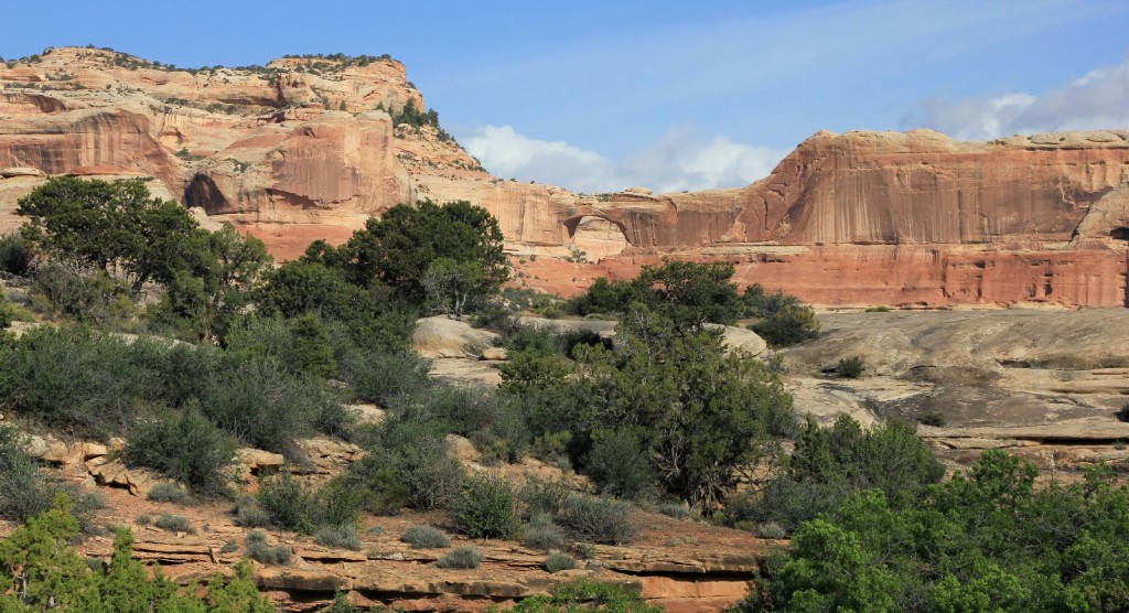
We packed up camp and hit the trail around 8:00. First order of business was to get more water for the day. We hiked out to the main trail, dropped our packs, and headed back toward where we had filtered the evening before. Lisa and I stopped at Kirk’s cabin for some nice morning photos while Jason continued on to start filtering.
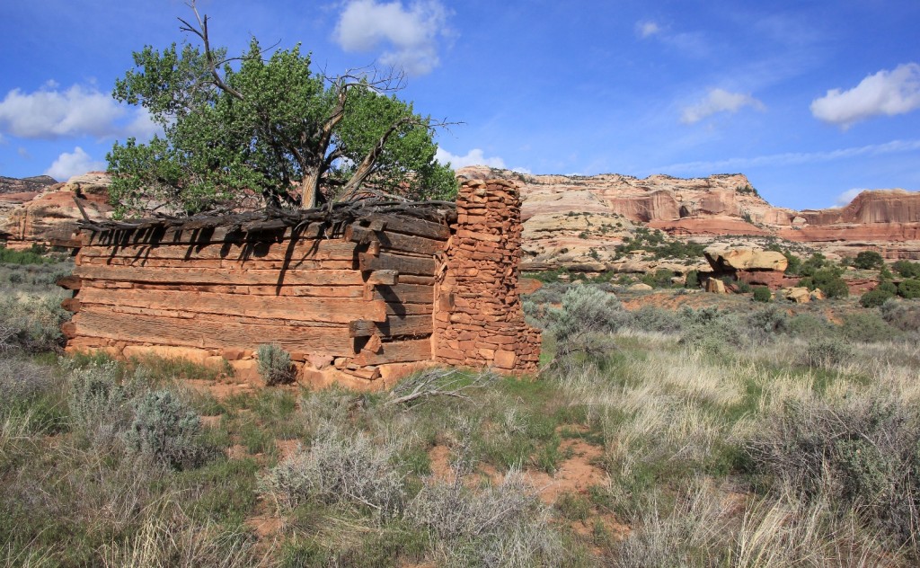
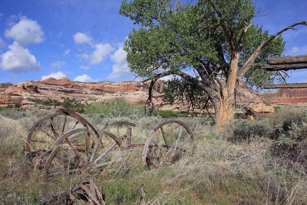
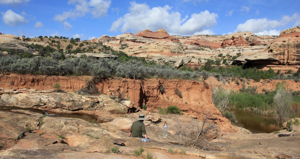
Back on the main trail, just north of the spur to SC1, we passed the fence that Kirk had built well over a century ago. The sun was out, temperatures were mild, and it was an absolutely stunning time to hike. Flowers were everywhere and the birds were the only sound we heard. It was going to be a good day on the trail. After a short and relatively easy first day on the trail, it felt like we were really starting our adventure.
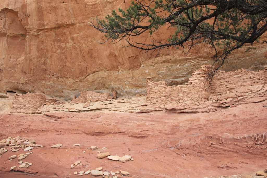
Roughly 10 minutes after passing Kirk’s fence, we took a faint hiker made trail off to the east to explore our first ruin site. The ruins consisted of about half a dozen structures, a few in nice shape. They were set into an alcove with some interesting eroded rock and nice views out to the west of Salt Creek Canyon.
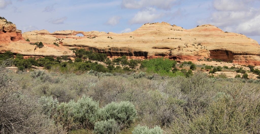
After about half an hour, Big Ruins came into view up ahead on the far west side of the canyon. This is a large complex that is easily spotted. We continued north along the trail until we came to a clear hiker made trail that takes you over to the ruins. We dropped our packs and made the roughly 10 minute hike over to the base of the ruins.
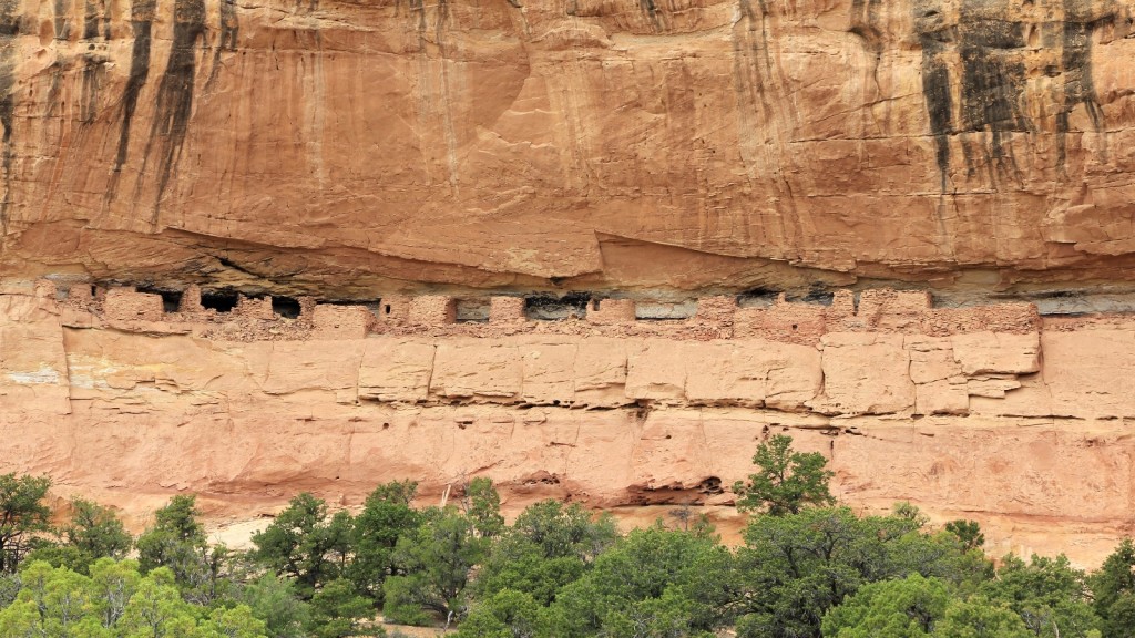
Big Ruin is a large complex tucked into a high alcove on the west side of Salt Creek Canyon. Most of the structures are inaccessible, but there were a few walls down low that we were able to access. There were over 20 structures, tons of pottery shards, corn cobs, metates & manos, and a deer horn. Views out across the canyon were spectacular. To the east, Fisheye Arch and Big Pocket were visible.
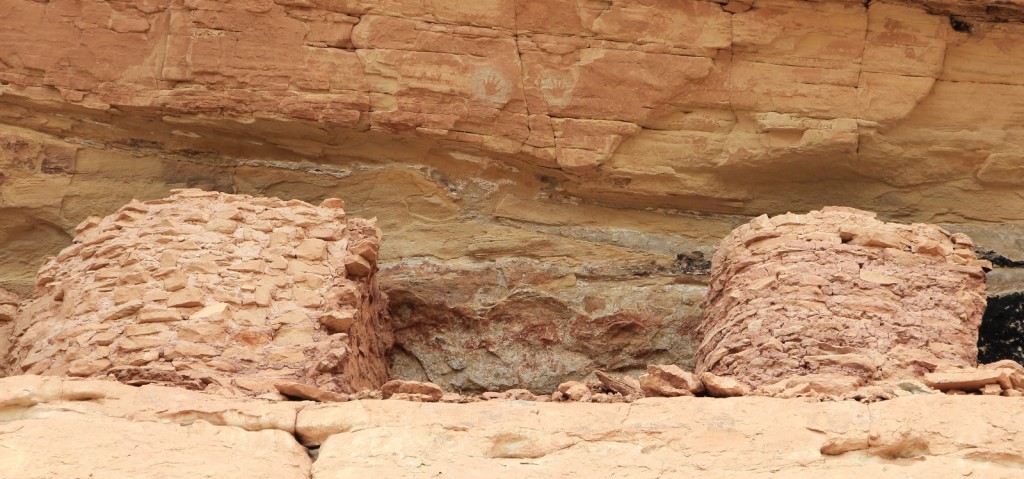
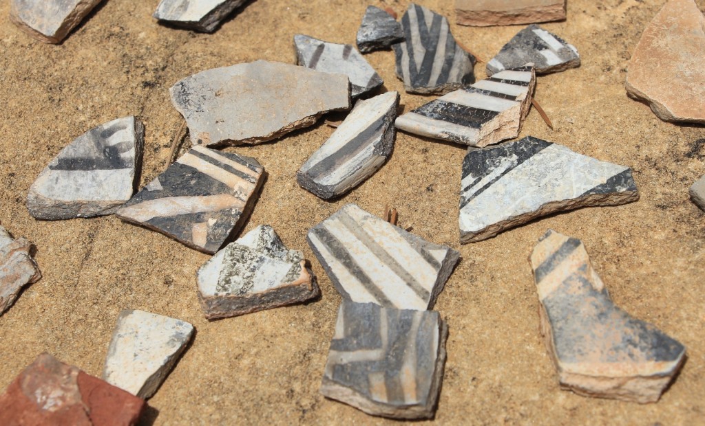
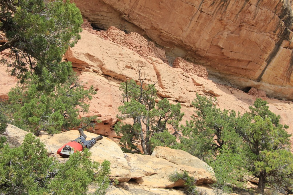
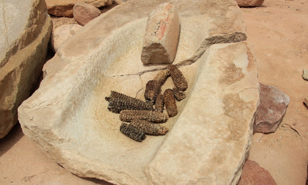
After a nice break and lots of pictures, we returned to the main trail, grabbed our packs, and continued north along Salt Creek.
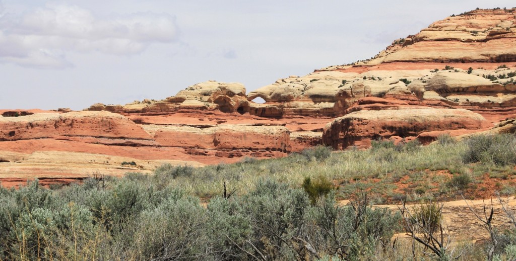
Approximately another half hour down the trail you come to a hiker made trail leading off to the east. This relatively short trail takes you to magnificent views of Wedding Ring Arch and is well worth the side trip. One source I read stated the arch is 200’ high and 150’ wide.
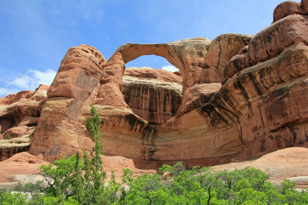
Back on the main trail, we passed a group of 7 backpackers headed from the opposite direction. We chatted for a few minutes and learned they were college students from BYU Rexburg.
We continued up the trail to Squash Patch ruin on the west side of the canyon. This was one of the sites I most looked forward to seeing. It consists of three small granaries and some nice hand pictographs. What is remarkable about this site is that there are several squash plants growing here, most certainly planted over seven centuries ago by the Anasazi. We took a long break here for pictures and snacks.
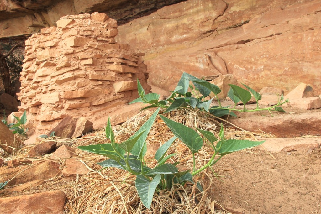
While exploring around Squash Patch, I heard voices and saw three men. One of the men came over and chatted with us for a while. They were a group of archaeologists working for the park to preserve a couple sites in the area. They would be in the canyon until Sunday and were apparently camped very near to SC3 where we would be that night. One more, a female archaeologist, would be joining them later in the day.
Back on the trail, our beautiful weather day was quickly deteriorating. As we hiked, I noticed dark storm clouds building behind us. Nearing the All American Man pictograph panel (another top site on my bucket list for this trip), we felt a few drops of rain and it was clear that the storm was quickly approaching.
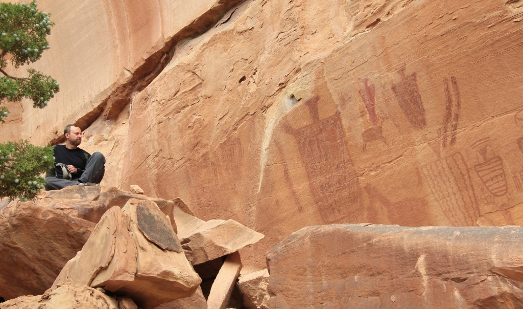
The main trail passes right below All American Man, a pictograph panel bearing patriotic colors that was created hundreds of years before the creation of our stars and stripes. Lisa and I both wanted to get up into the alcove to get a better shot of the life size panel, but it was going to be a tight squeeze requiring careful negotiation.
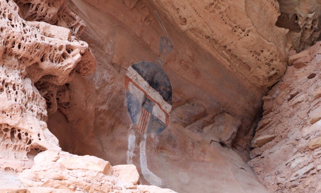
Meanwhile, the storm was quickly approaching- winds were gusting and the distant thunder we’d been hearing was getting closer by the second. Jason wanted to search for better cover and Lisa commented that we really should get up and through the crack before it got slick and that we’d find shelter at the top. We grabbed a couple quick shots from below and booked it for the crack.
The spot we were racing for is a place where the trail shortcuts through a crack in a large fin of sandstone. The climb up is short, but it is steep and rocky. There is one place where you need to get good traction on the rocks to push yourself up. The spot was a little wet when we got there, but it wasn’t too slick yet and we were able to scramble up (me thanks to a pull up from Lisa!). The storm was now on top of us and bolts of lightning were flashing across the sky. We scrambled as fast as we could and made it to the top of the crack. At the top, as Lisa promised, was a small alcove with a sand bottom that made a perfect shelter. We were dry and safe. Immediately after taking shelter, the worst of the storm hit. Rain poured down and thunder/lightning rocked the canyon. The thunder was amplified by the steep canyon walls.
The storm let up briefly, but we stayed put sensing more was coming. During the lull, a woman with a large backpack came up through the crack. Laura was the archaeologist that we were told about. She had taken shelter at All American Man for the first wave of the storm and had made it up the crack before the next round hit. She took shelter with us and we had a wonderful time talking with her about the area and her job. She told us some horror stories of park rangers on the road to Cathedral Butte during rain storms (particularly the spot we had identified on our drive up). She had a radio that was able to get the latest NOAA weather forecast. It sounded like the worst of the rain would move through in the next 24-30 hours and that we’d likely be in for a pretty wet trip until Saturday night. We were still fairly nervous about making the drive back up to Cathedral on Sunday, but continued to hope for the best. Worst case, we’d hang out in the park an extra day or two until the road improved.
After about 45 minutes, weather conditions significantly improved. As the sun poked out, so did we. We climbed down the north side of the crack and continued on the trail. From the NOAA forecast, we knew more rain was on its way. We could still see dark clouds all around us, so we beat feet down the trail toward camp.
Within about 20 minutes, we reached the Four Faces pictograph panel on the east side of the canyon. In addition to the panel, there were a few ruins as well. The panel is in exceptional condition and thought to be at least 700 years old.
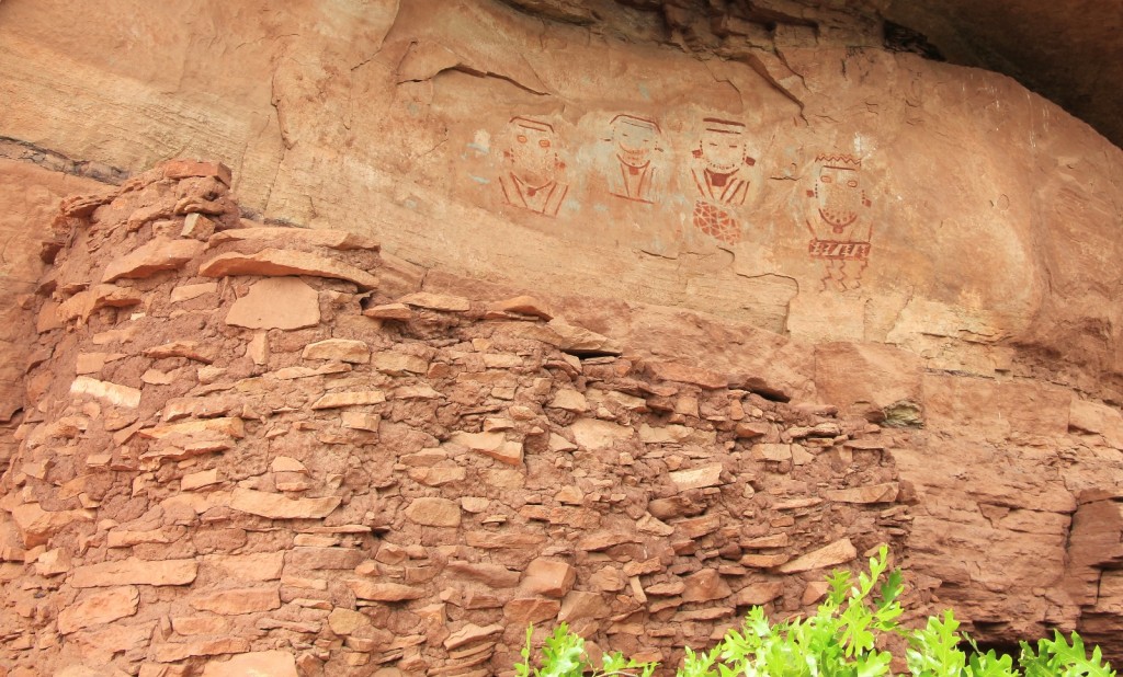
A few minutes after passing Four Faces, the trail crosses Salt Creek. According to one trail guide, this is called Four Faces Spring. We continued about 200 yards up the trail to a spur up to SC3, our permitted campsite for the evening (N 38°02.3456 W 109°45.8417 elevation 5,616 ft). We could see dark clouds all around us and the winds were picking up.
We set up camp as quickly as we could, hoping to have tents up before the rains came. Immediately after that, we hiked back to the spring to filter water for the evening. While here, we saw a couple who appeared to be packing day hiking gear. They crossed the spring and continued south. We never saw them again and couldn’t figure out where they would be camped (at least legally since SC1/2 and SC4 were both miles away and it was late in the day). We barely got our water filtered as the next storm cell approached. As we got into camp, a deafening crash of thunder filled the canyon and the sky lit up with lightning.
We dove into our tents and waited the worst of the storm out. Soon enough, the latest cell passed over and we all gathered outside to eat dinner. Jason and I split a Mountain House dehydrated dinner of chicken and mashed potatoes supplemented with some cheese.
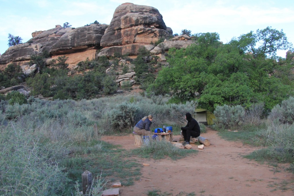
It had been a wonderfully full day. We had hiked 10 miles and had seen some magnificent country and history. We all retired to bed before dark to read our books and ride out the weather. We had a few more light rounds of rain early in the evening, but otherwise it was just breezy all night.
Saturday morning we awoke around day break to surprisingly nice conditions. Temperatures were slightly above freezing and it looked like the skies were relatively clear. Who knew what the day would bring, but we had dodged a major wet bullet—at least so far. We had our morning coffee/breakfast, picked up camp and headed out around 7:30.
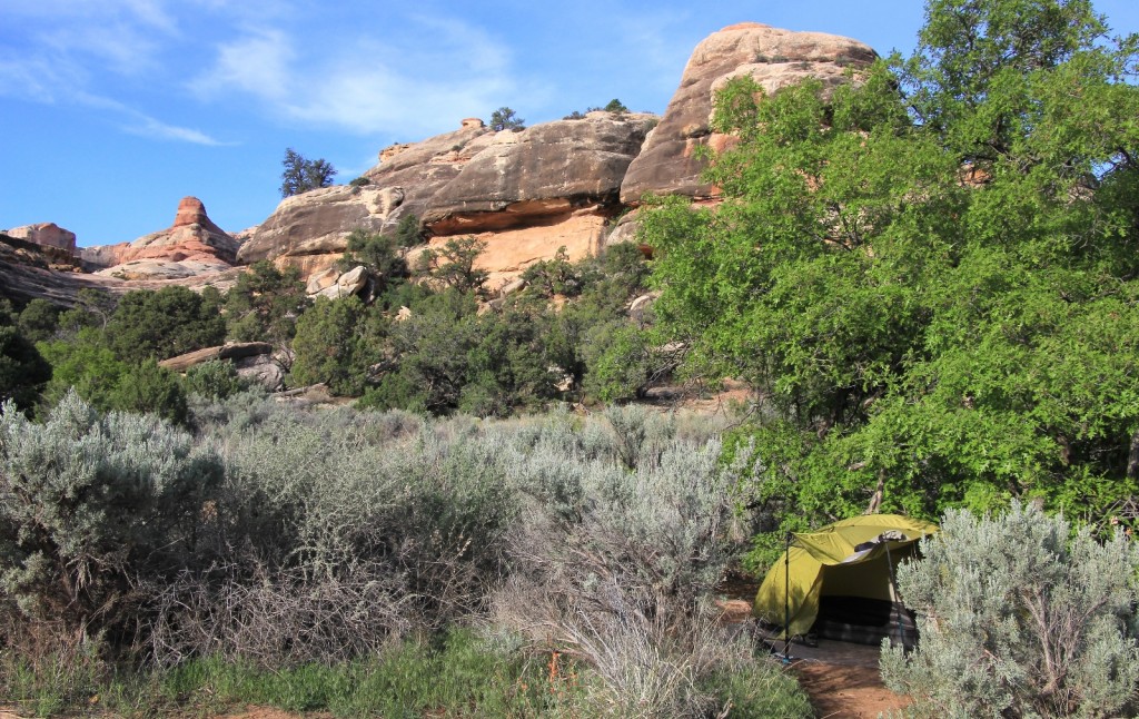
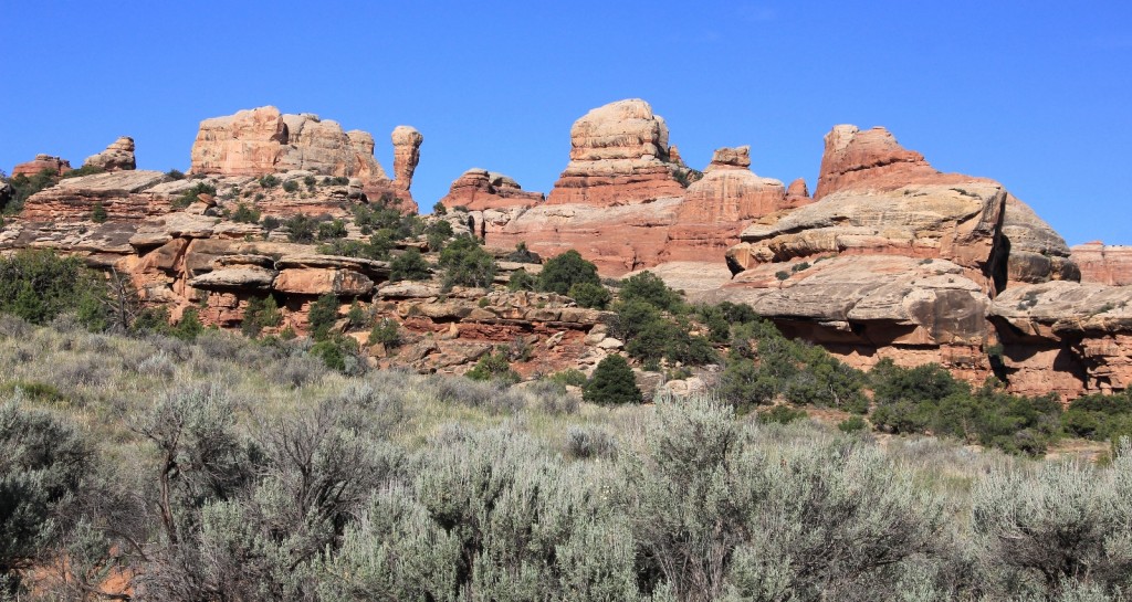
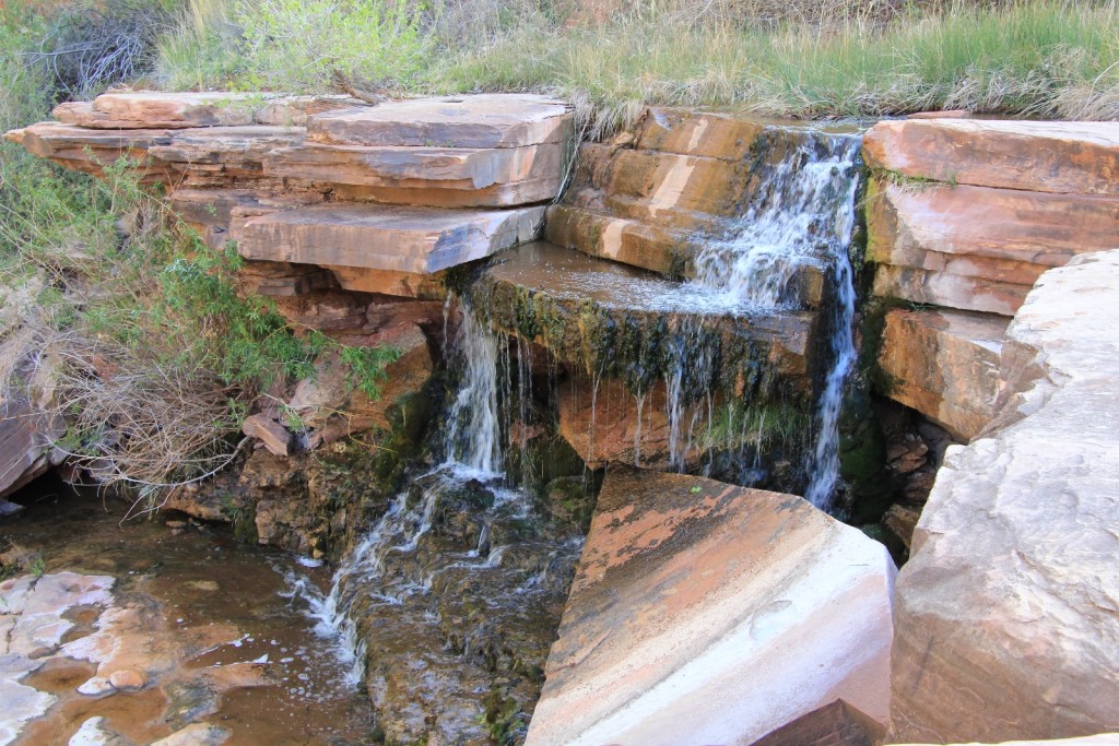
It was approximately a 20 minute hike from SC3 to the Upper Jump where Salt Creek drops about 25 feet into a lovely little pool at N 38°02.5878’ W 109°45.8781’. Part way between SC3 and the Upper Jump we passed a pictograph panel with faint diamonds and what appeared to be the start of another face similar to those at the Four Faces Panel. The cliff walls at Upper Jump were impressive and the pool looked like an inviting place to be on a hot day.
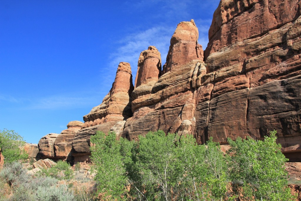
After the Upper Jump, the canyon narrowed and the vegetation became quite thick. This stretch is referred to as “The Jungle” and I could certainly see why. We lost the trail at a couple points—first when the trail dipped down into a steep wash. Our instinct was to turn right when we should have gone left. This wrong turn had us bushwhacking through thick vegetation for a time until we backtracked and found the trail.
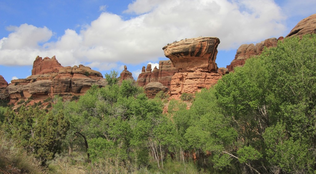
The other place we lost the trail was near SC4. A spur trial took off to SC4 while the main trail split to the left, crossed the creek, and went up the other side. We accidentally took the spur trail and aimlessly wandered about for a while. The lesson learned was, “if it gets too tough to follow the trail you probably aren’t ON the trail!” From Upper Jump all the way to Peekaboo Arch, the canyon twists and turns its way north, but The Jungle section only lasted for a couple miles.
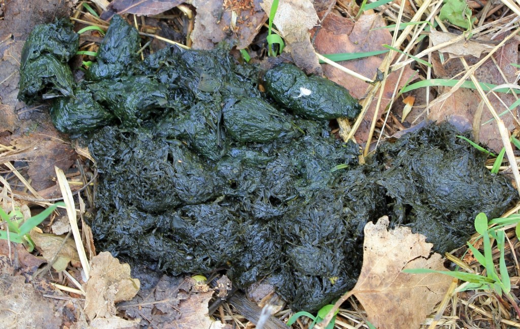
As we continued through The Jungle, we found a fresh pile of bear scat. The ranger at the Visitor Center did tell us there had been recent reports of fresh scat near the trail, so we weren’t surprised.
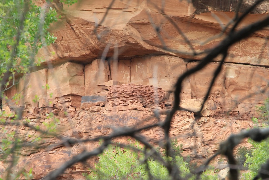
At about 10 minutes before SC4 we reached a large ruin complex on the east side of the canyon. The complex is about 100’ up the canyon wall and is supposedly a fairly accessible site. We were satisfied to take photos from the canyon bottom so we could save our time and energy for the side trail to Angel Arch. One trail description I have states there are at least 15 dwellings and granaries at this site as well as the Paper Doll pictograph panel.
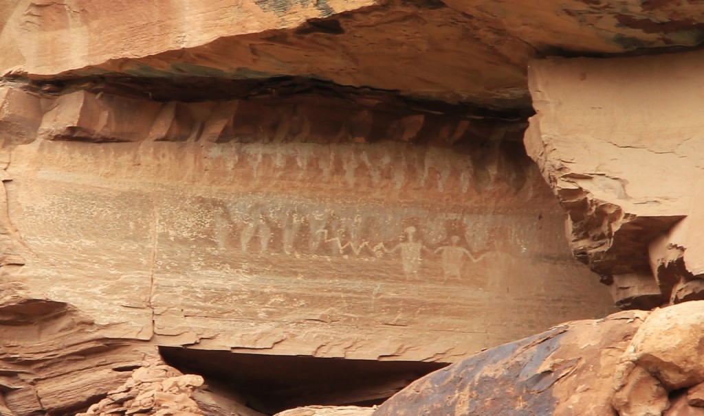
Between SC4 and Angel Arch camp (a distance of about 2.1 miles), the trail passes a few more small ruin sites. Observant hikers will spot them high above the trail.
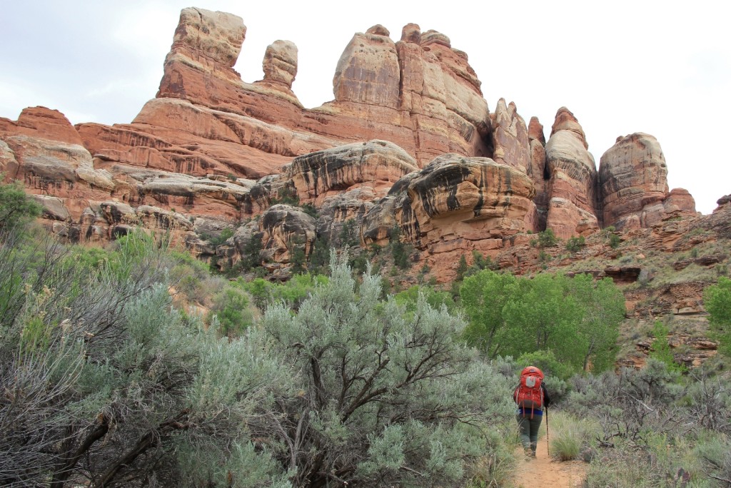
The side trail to Angel Arch is well signed and splits off to the east. We continued the short distance up the main trail to Angel Arch Camp. The site was empty and quite lovely with large cottonwood trees, towering cliff walls, nearby water, and a large petroglyph panel above. Our permit for the night was for anywhere in the Salt/Horse zone which meant we could camp at or north of Angel Arch Camp. We agreed that we would make the hike to Angel Arch and then decide on a camp location for the evening. We dropped our gear, grabbed our day packs, and took off up the side trail the Angel Arch.
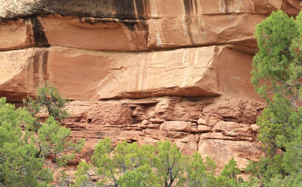
The side trail to Angel Arch follows an old abandoned jeep trail. The trail is easy to follow and doesn’t have any significant elevation gain until the final climb to the view point. There is a nice set of ruins on the north side of the canyon that are difficult to spot on the hike into Angel, but easy to see on the return hike.
At Angel Arch, N 38°03.1413 W 109°45.1617 elevation 5,595 ft, we climbed to a nice viewpoint of The Molar and Angel Arch. The ideal time for this location is early morning, but by now it was mid-afternoon. It is a stunning location even if you don’t time the light just right. The round trip hike to Angel Arch and back to camp was approximately 3.0 miles.
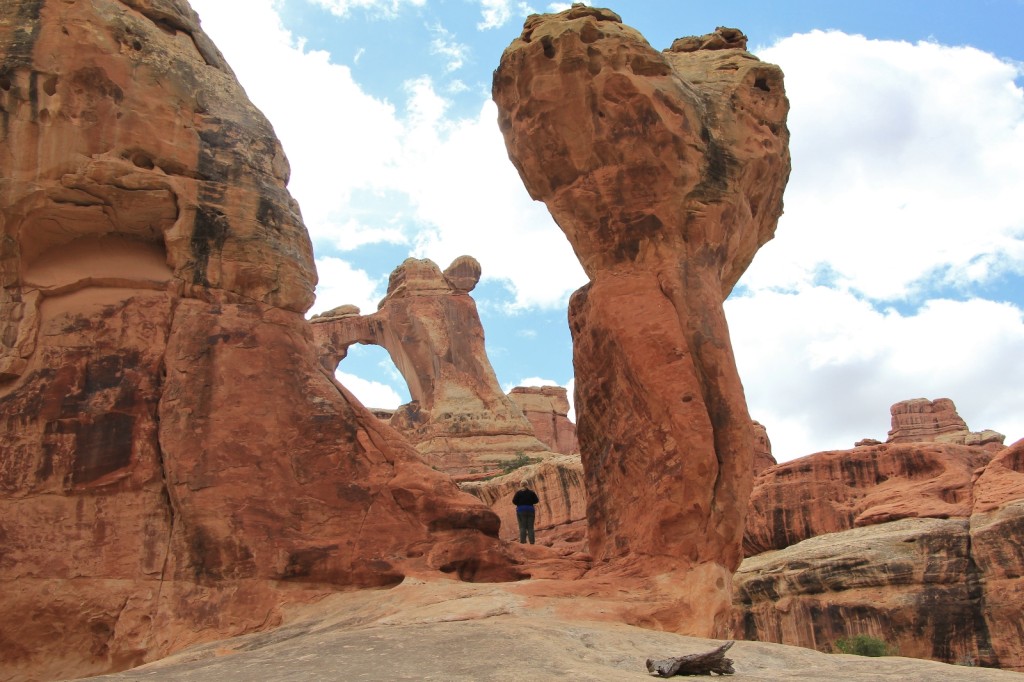
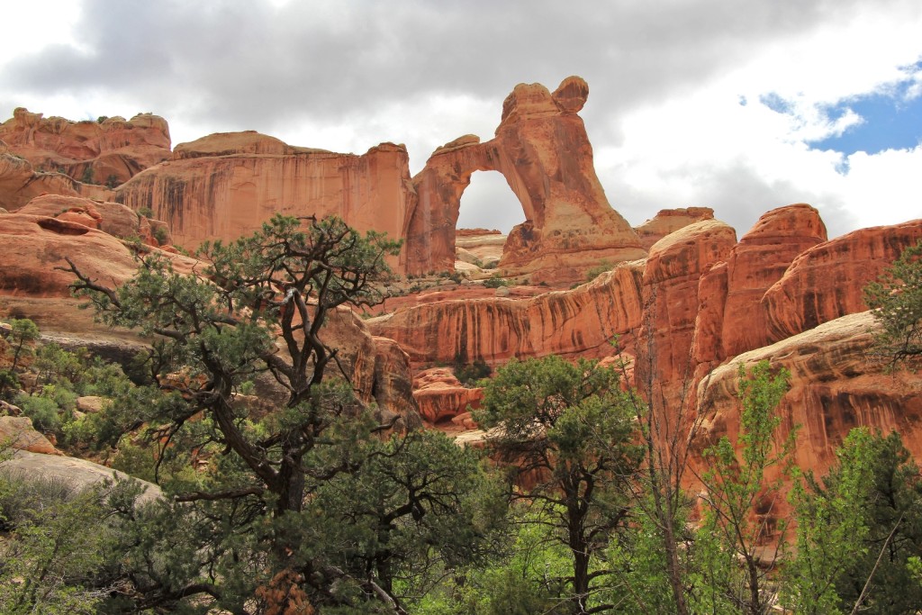
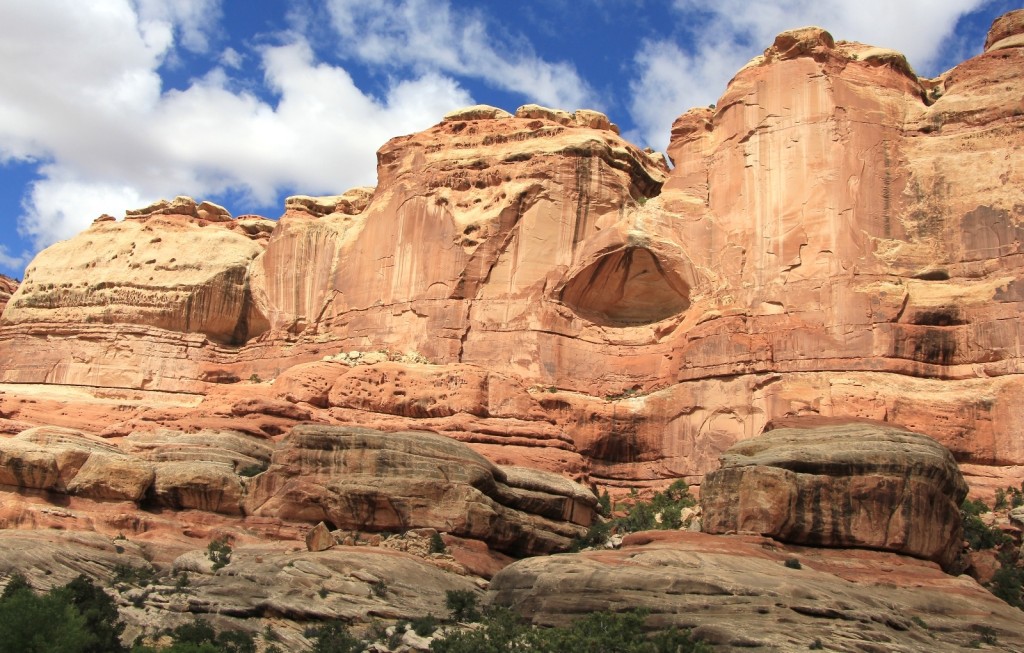
We returned to camp around 4:00 and decided to camp there for the night. We wanted to be a little closer to Peekaboo Arch for the final day of hiking, but we had already hiked approximately 9.5 miles and this was as gorgeous a spot as you could hope for with good water. There would be no guarantees for water as we entered the Salt/Horse zone between Angel Arch Camp and Peekaboo.
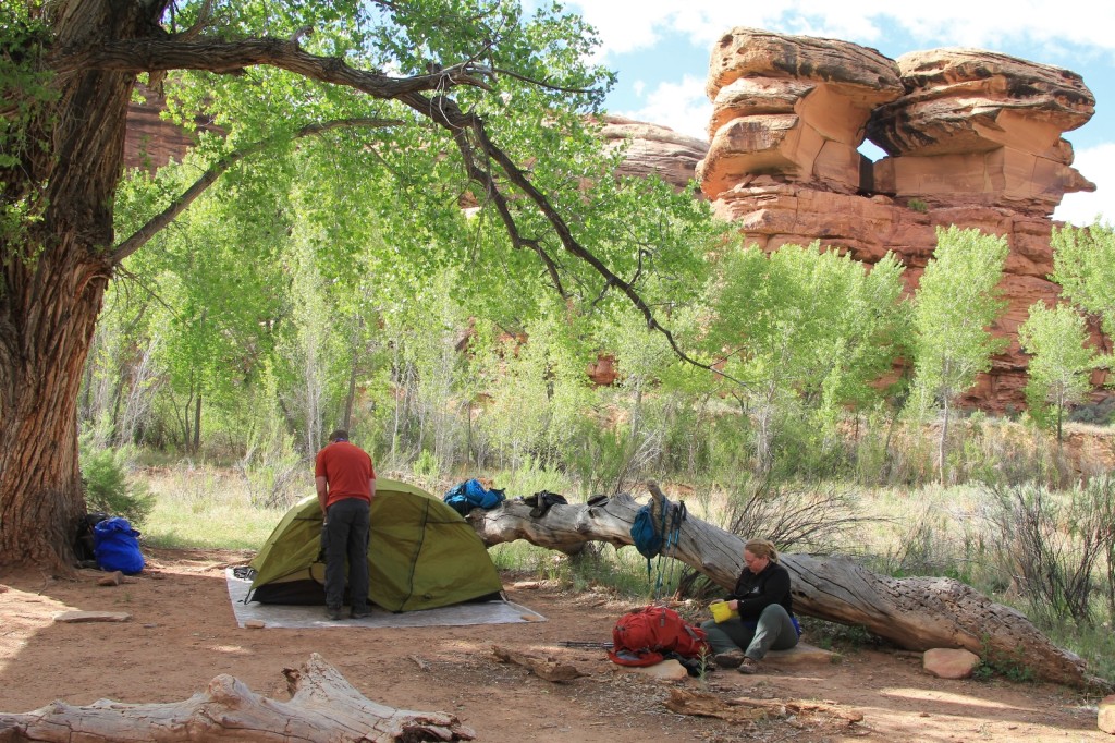
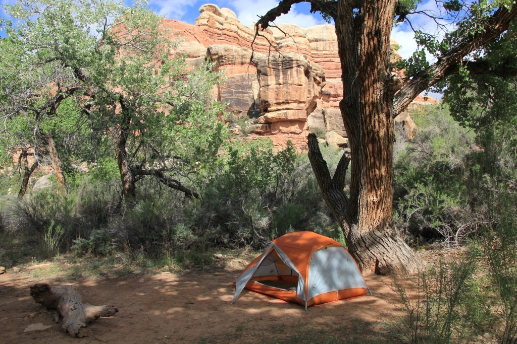
The weather had been beautiful most of the day (contrary to the forecast) and we enjoyed the rest of the afternoon at our picture perfect spot. We set camp up under the old cottonwood trees and then went down to the stream to filter water. The water was still plentiful and running clear here. For dinner, Jason and I had a Mountain House dehydrated meal of chili-mac and a couple pieces of cheese each. We agreed to get an early start in the morning since we’d have a long hike out followed by the drive back up to Cathedral Butte to pick up Lisa’s Subaru. Lisa set her alarm for 4:30 and we all headed to bed early with our books.
Other hikers seen on day three: ZERO!!
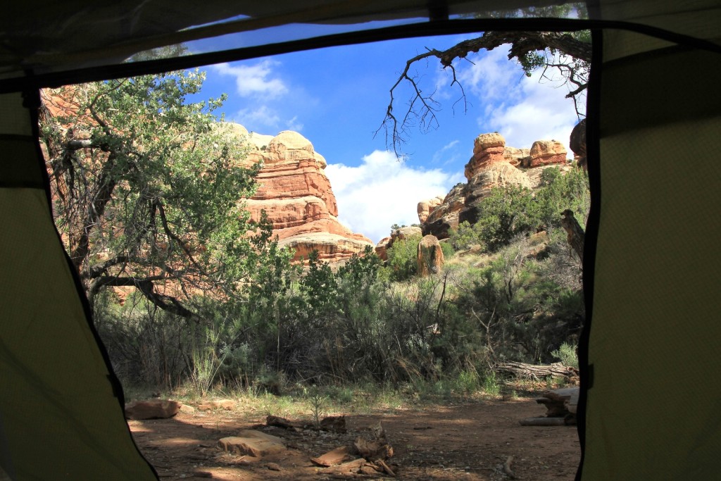
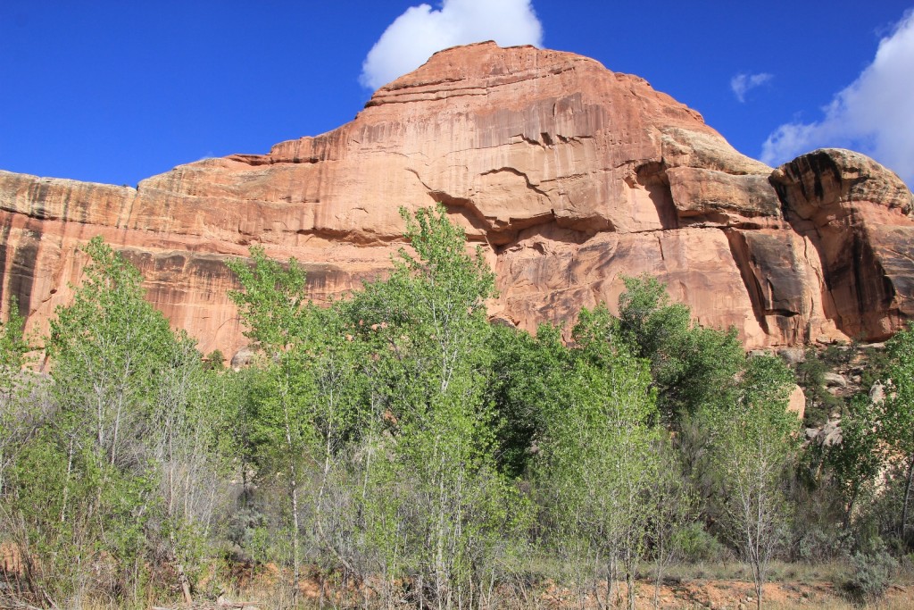
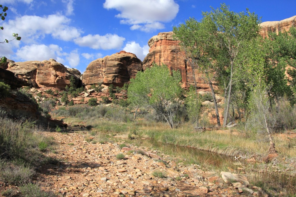
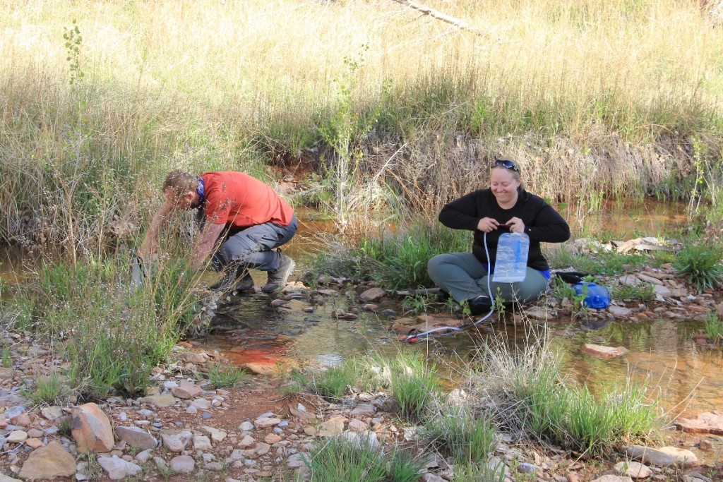
Sunday morning we were up by 4:15. The temperature was in the low 40s and it had been dry all night. We grabbed our headlamps, had a quick breakfast, picked up camp in the dark and started out on the trail about 6:00.
By the time we started hiking it was just light enough to make our way without headlamps. With the limited light, it did take a little wandering to realize that we needed to cross the stream and pick up the trail on the other side of Salt Creek.
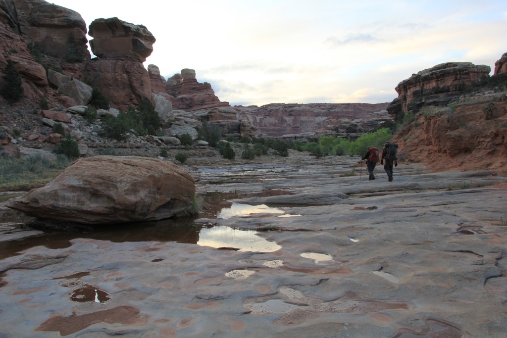
It was a relatively uneventful 8.5 mile hike from Angel Arch Camp up to Peekaboo. Conditions were mostly cloudy and cool which made for lovely hiking conditions. Most of this stretch had water along it which was a stark contrast to when Lisa had hiked the trail in late May two years earlier. After 3 hours of hiking, we spotted a tent on a sandy bench where two men from Michigan were camped. One stated, “wow, you must have started early!” Yep!
At Peekaboo Arch we met a nice young man from North Carolina who was traveling the West for about six months in a minivan he had converted for sleeping in. He had been on the road about two months already and had been hiking the desert southwest. I admired his free and adventurous spirit.
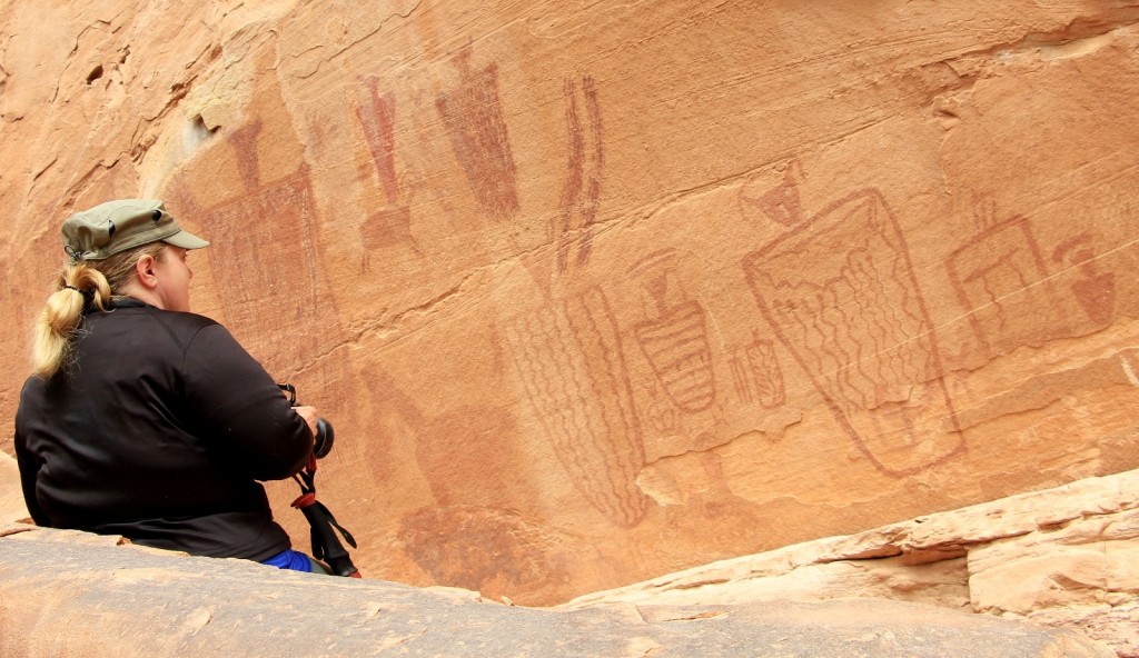
We took a nice long break at Peekaboo to eat and photograph the arch and pictographs. Ancestral Puebloan Indians painted the white figures here during their occupation of Salt Creek around 1,000 – 3,000 AD. Faint red figures in the background date to the Archaic Period (1,000 – 3,000 BC). We saw another party of three day hikers while we were here- that would be it for trail traffic.
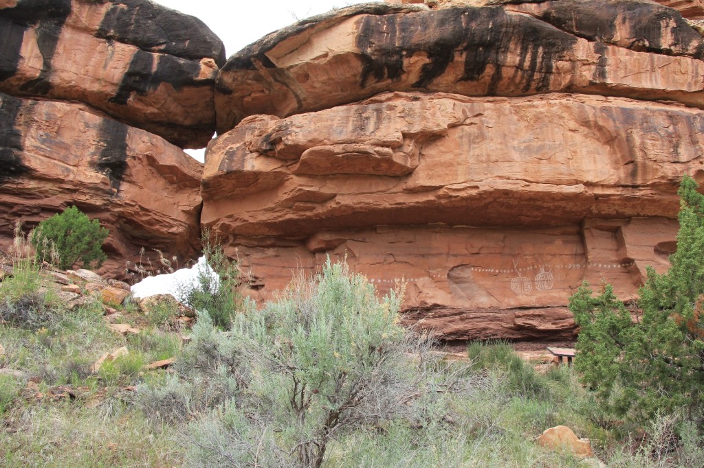
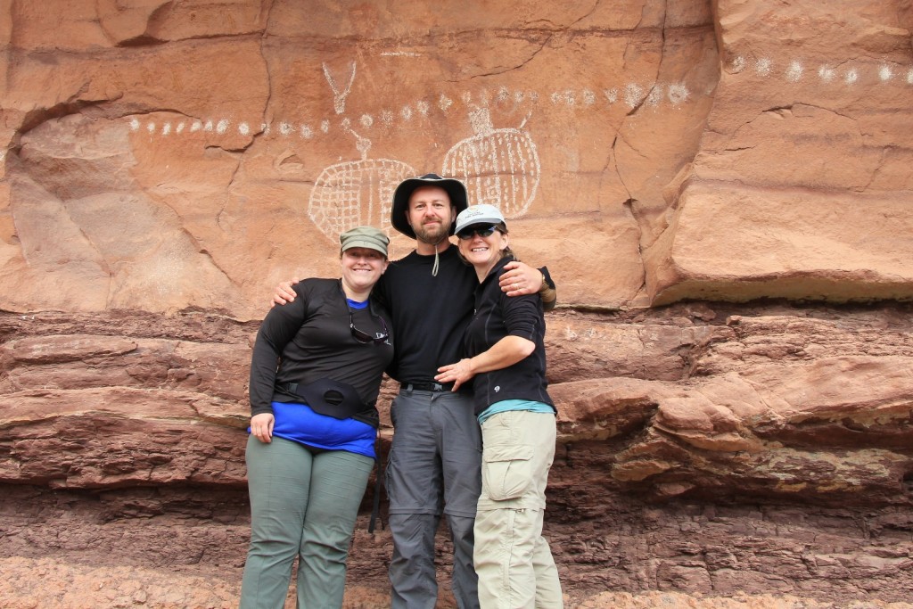
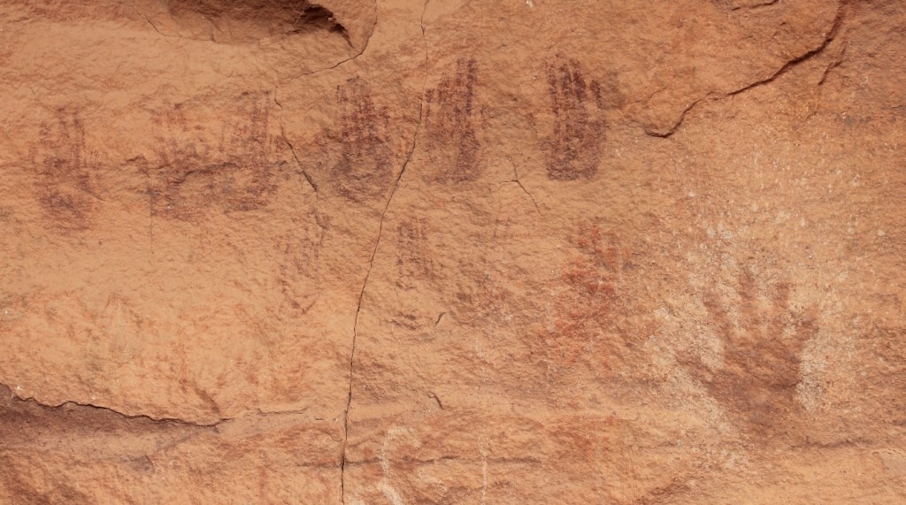
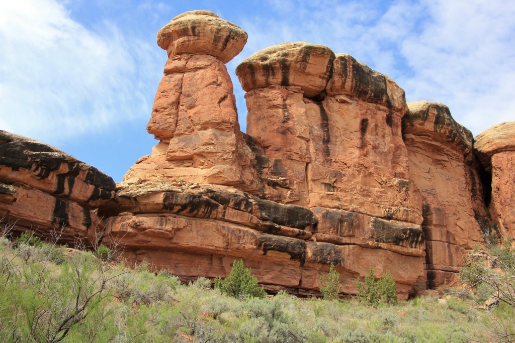
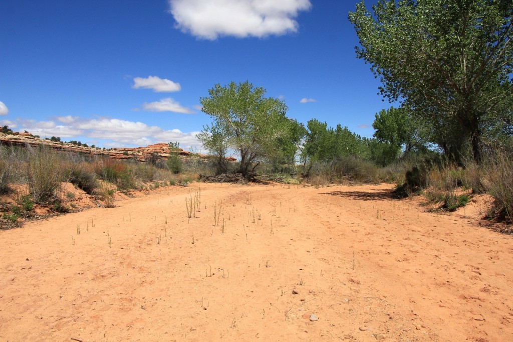
We loaded up our packs and hit the last 2.8 miles of trail. The clouds were burning off and the sky was increasingly sunny. We were lucky that there had been so much rain recently- water was flowing through much of this section of Salt Creek, at least enough in most places to keep the sand wet and compact. Lisa had previously hiked this stretch in dry conditions and stated it was a real death march through loose sand. It wasn’t until approximately the last mile that we had to deal with loose sand. Temperatures were in the upper 60s and it was a pleasant hike.
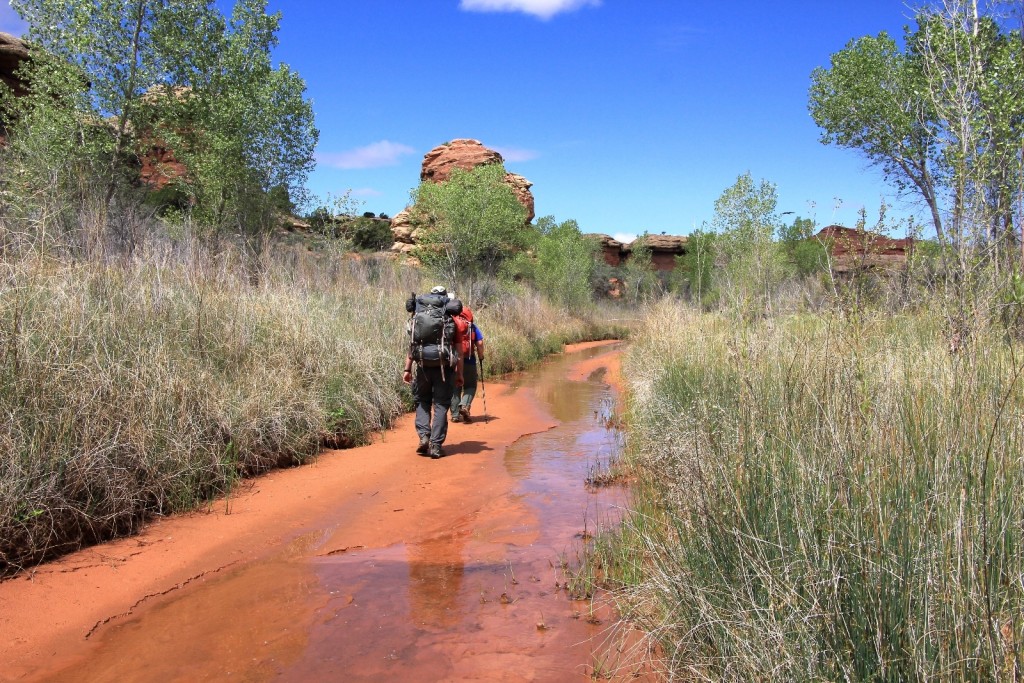
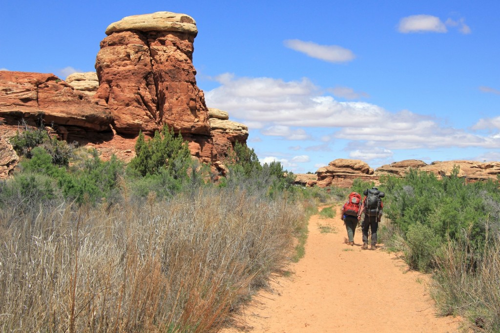
We finished the hike around noon at the Cave Spring trailhead where we had left our truck four days earlier (N 38°08.8452’ W 109°45.1840 elevation 4,930 ft.) Our daily mileage logged in at 11.5 miles and our total trip mileage at about 35.5 miles.
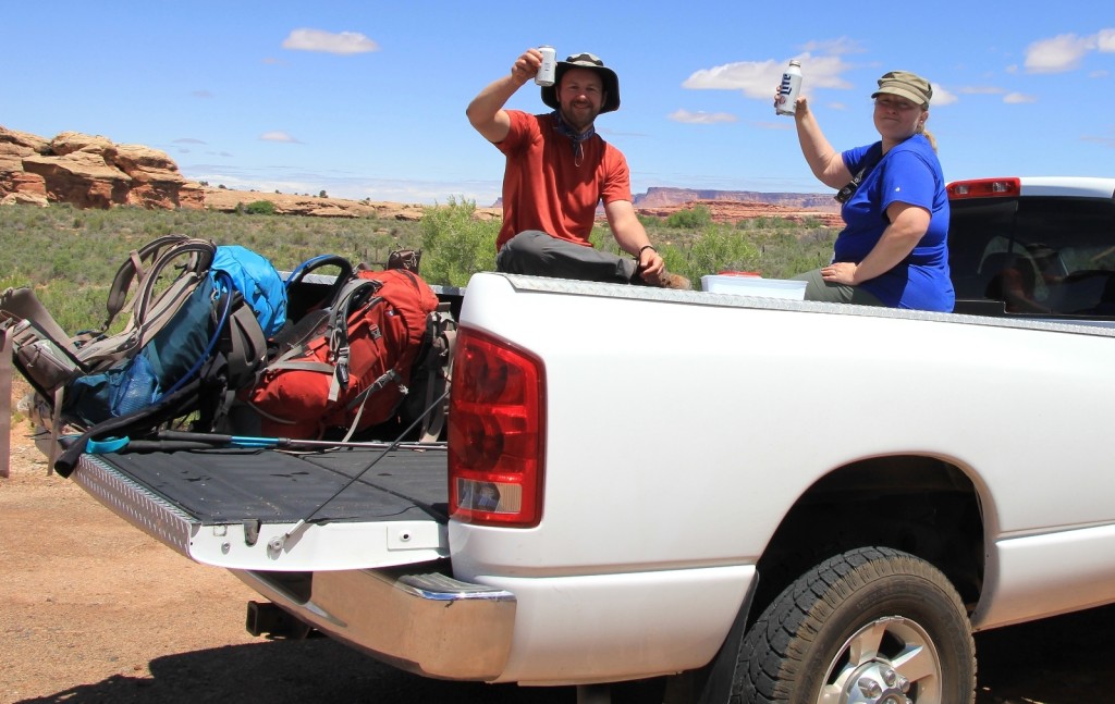
At the truck, we celebrated with cold drinks and some snacks. It felt great to get our hiking boots off and Keens on. Then we hit the road to see if we could make it up to Cathedral Butte.
Conditions on Beef Basin Road seemed good as we made our way up. There were a few soft places, but things were looking encouraging. About half way up, we passed a female law enforcement officer and stopped to inquire about conditions at the top. She said the road was in great shape, but that it had been horrible the previous afternoon. We breathed a collective sigh of relief and finished the drive up to Cathedral Butte without incident.
What a memorable four days and 35+ miles of trail with the hubby and a special friend. This trip was in the top three on my backpacking bucket list and it was every bit as special as I had dreamed it would be. Would I do it again? Absolutely.
One of the more special experiences of the trip was getting to see Cat Man and the Flying Carpet Panel- a little known site in the area. The person who was kind enough to provide directions to this panel has asked me not to publish its location. I am honoring that request and will not share information for this particular site.
Great trip report! We are doing this next week.
Hi Jason I remember working with you at SEL, great website; I can’t believe I stumbled across it (was looking for info on the Imnaha River hike). Beautiful photos. I’ll be referring back to it when we retire in 2020. Thanks & safe travels
Hi Carie – Thank you for the nice comment. I’ll make sure Jason sees it 🙂 The Imnaha River hike down to Hells Canyon is spectacular. In my humble opinion it far outshines the Grand Canyon. We hope to make it a yearly hike, although we haven’t been yet this year. Beware of poison ivy along the route, especially starting about a mile in along the Imnaha to maybe a mile before you hit the Snake. Salt Creek is a very special place. We hope to go back some day. So much beauty and history to see. It is wonderful to hear you’ll refer to this site for future travels- that is the exact reason I maintain it! Happy trails, Lusha
Hi. I’m considering hiking this next week. I would LOVE to talk to you about it. I’ll be hiking alone and driving my Honda civic.
I know its gonna be hot! I’m not sure I’m up to it. Your trail talk and photos are awesome. I most want to see Angel arch.
Hi Marsha,
Thank you for your kind words. We absolutely loved this backpack and hope to do it again some day. I’m happy to answer any questions that might help you with your trip. Will you be day hiking or backpacking? Angel would be too much for me in one day, especially with those kind of temperatures! It would make a lovely out and back backpack from Cave Springs if you can get a permit. I believe your car would do just fine to Cave Spring which would be the closest trailhead to Angel. The last mile is not paved, but I remember it being in good shape (three years ago). You might also consider nearby Druid Arch instead. It is also quite spectacular and much more reasonable as a day hike.
Feel free to ask questions and I’ll do my best to answer!
Happy Trails,
Lusha
Nice to hear from you again! Glad you enjoyed the blog. Let us know if you ever want to go out hiking!
Great post. Looking to do this next spring as a 3 night backpack starting and ending at Cathedral Butte. Where is the Angel Arch camp that you stayed at? Is it just part of the camping zone? How difficult was the descent into the canyon from Cathedral Butte?
Hi Angee,
You are in for a special few days! The camp site we identified as Angel Arch was back on Salt Creek in the Salt/Horse permit zone. In that zone, the park does not have designated sites that you are required to stay at (or at least they didn’t in 2015). It was a good base both for the side trip to Angel Arch and for putting us about 11 miles from the truck on the final day. I had myself pretty psyched up for the descent into the canyon from Cathedral. Descents aren’t my favorite, but it was over before we knew it and I didn’t think it was all that bad.
Happy Trails!
Lusha
I enjoyed your detailed account of this trip as I’m planning on doing it myself May 2-4. What I can’t figure out is why/how the CNP official map [https://www.nps.gov/cany/planyourvisit/upload/NeedlesTrailsandRoads_2021.pdf] shows this trail to be a total of 22 miles between Cave Springs and Cathedral Butte…and yet your mileage was 33+. The disparity seems greatest between Angel Arch and Cathedral Butte. Any thoughts as to how this could be?? Thanks so much!
Hello Melinda,
I’m glad you enjoyed our post. We did a lot of side exploration during our trip, including the side trip out to Angel Arch, which added to our total miles. If you just stick to the main trail, I’m guessing you’ll be more at the 22 mile mark that the park map shows. We have hiked the majority of the trails in the Needles District now (just got back from another glorious week there!) and their posted mileages are typically pretty accurate.
Happy trails & have a wonderful trip to Salt Creek!
Lusha
The natural arch you labeled as Kirk Arch is called the Elephant Trunk or Elephant Trunk Arch, Incidentally you have two photos that show Kirk Arch in them, in your nice shot of the Kirk Cabin you can see Kirk Arch to the right hand side in the far background, but in the previous photo you zoomed right in just about centered on Kirk Arch!
During my first trip we crossed to the other side of the creek and got a little bit closer view;
https://www.flickr.com/photos/8617045@N06/49178252586/in/album-72157627441886339/
Hi Jared,
Thanks for the correction on that. There were more arches in the area than I expected and I’m not surprised I misidentified some! I’m hoping to get back there in the next year or two with a little more time to explore.
Happy trails!
Lusha