January 6 – 12, 2020
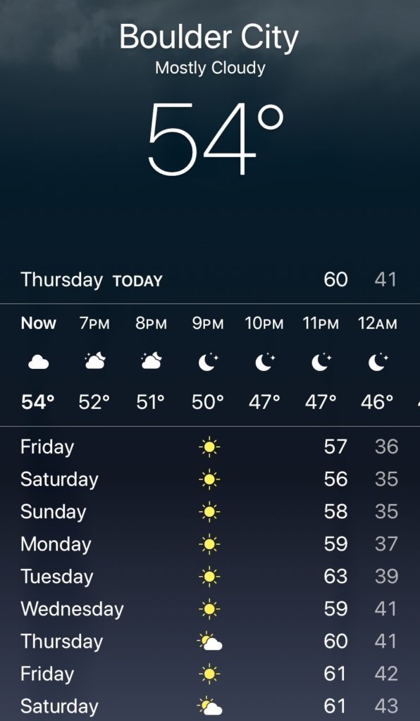
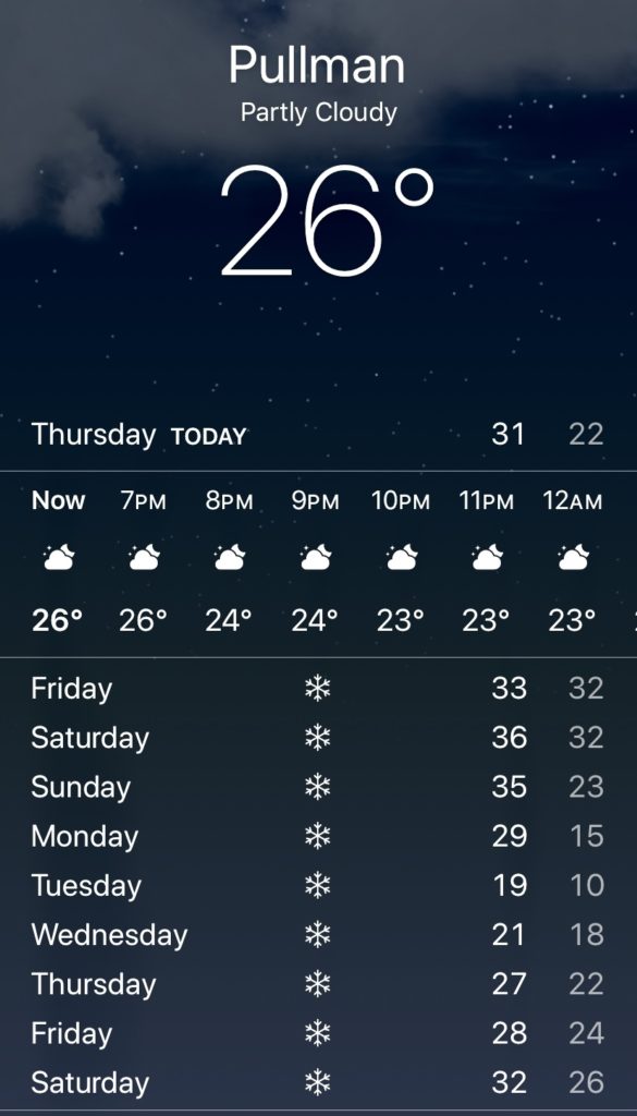
The holidays were over and Old Man Winter had a tight grip on much of the nation. While winter storms were dumping snow back home, we enjoyed a week of beautiful weather at Lake Mead National Recreation Area.
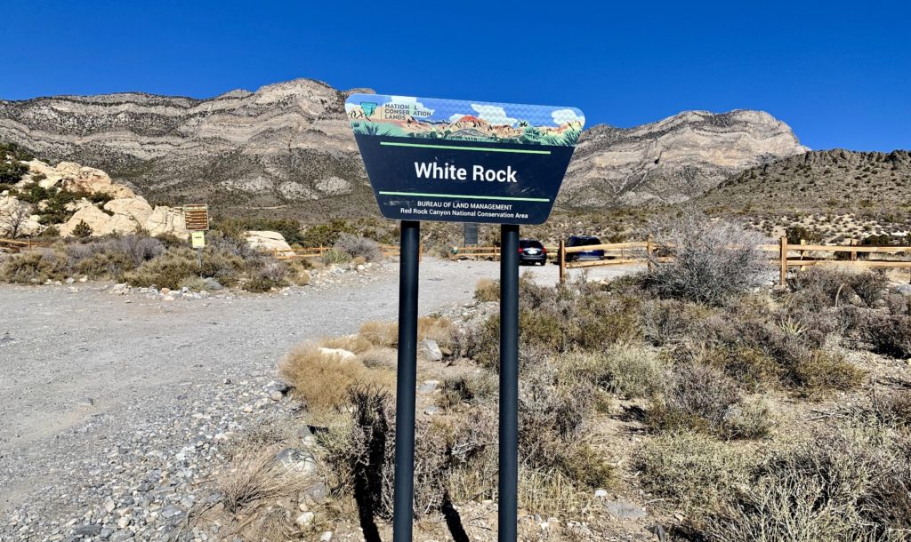
White Rock—Willow Springs Loop Trail: Red Rock Canyon National Conservation Area
Red Rock Canyon National Conservation Area protects 200,000 acres of Mojave Desert and some of America’s most beautiful landscapes. Known for its stunning geological features, the protected desert tortoise, and thickets of Joshua trees, the area offers a 13-mile scenic drive, hiking, rock climbing, biking, and horseback riding.
Red Rock Canyon, Nevada’s first National Conservation Area, is located 17 miles west of the Las Vegas Strip. The area is visited by more than two million people each year and can be busy on weekends and holidays. The Red Rock Canyons Las Vegas website has an excellent page with trail descriptions and map. The map can also be obtained at the visitor center and I highly recommend having a copy in hand during your explorations.

We waited for the Christmas and New Years crowds to thin before making our first visit to Red Rock. It took an hour along busy Vegas freeway to make the drive from our camp at Lake Mead to the visitor center. After chatting with some very nice volunteers at the information desk, we decided to hike the White Rock – Willow Springs Loop. The volunteers recommended parking at a pull out along the Scenic Drive rather than driving the short spur road to the White Rock Trailhead due to recent car thefts. That added approximately a mile to our hike, but we didn’t mind.
Our hike began with a 0.5 mile hike up the rough spur road from the Scenic Drive to the trailhead. Once at the trailhead, we turned left and headed toward Willow Spring Picnic Area. This was a nice stretch of trail through typical Mojave Desert terrain with Joshua trees, cactus, agave, and a few pinyon and juniper. We had nice views up at White Rock and didn’t see anyone on the trial until we arrived at Willow Springs.
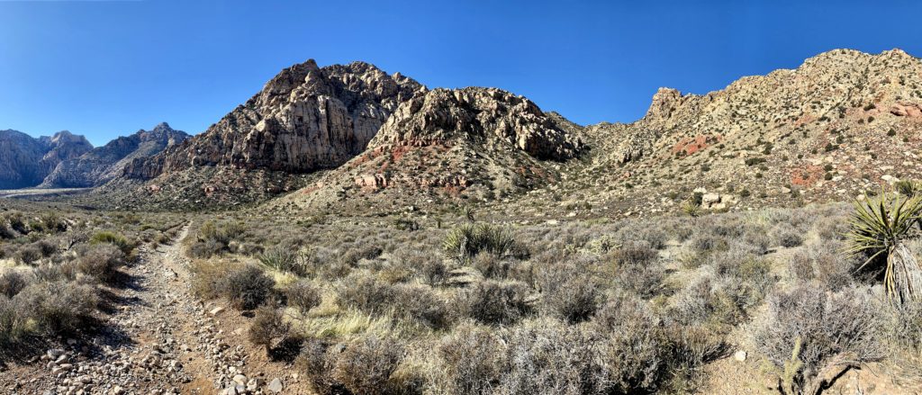
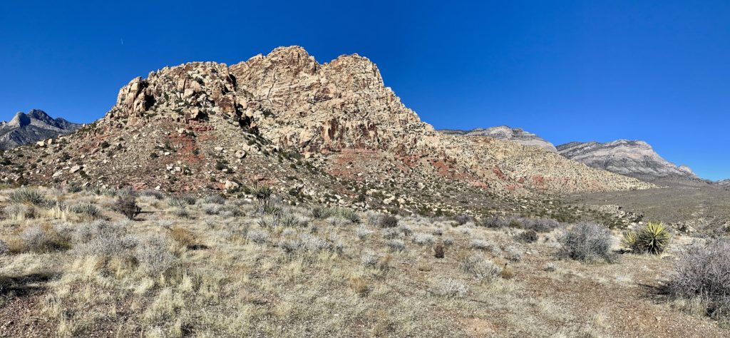
Willow Spring Picnic Area is a popular stop for those driving the Scenic Drive and we saw quite a few people there when we took a snack break. The views up at White Rock from there were stunning. While we didn’t see any, this is apparently a popular spot with the resident bighorn sheep.
From Willow Spring, we started up Rocky Gap, a rough 4×4 road. We started hitting occasional snow and ice patches here as it was in the shade and gets very little (if any) sun this time of year. As we continued up the road, views opened up of the mountains behind Red Rock. We turned back onto trail and entered the La Madre Mountains Wilderness. The next mile or so was my favorite of this hike. It was lush with lots of pinyon, juniper, and manzanita and felt strikingly different from the first half of the hike. The views of the back side of White Rock were spectacular.
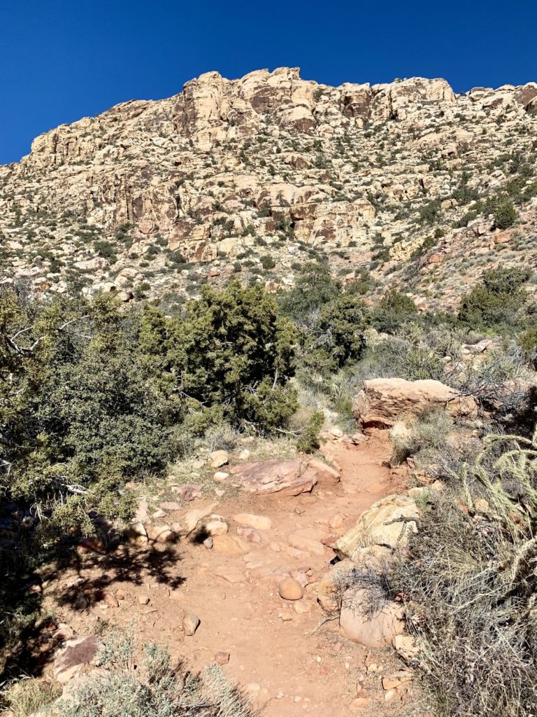
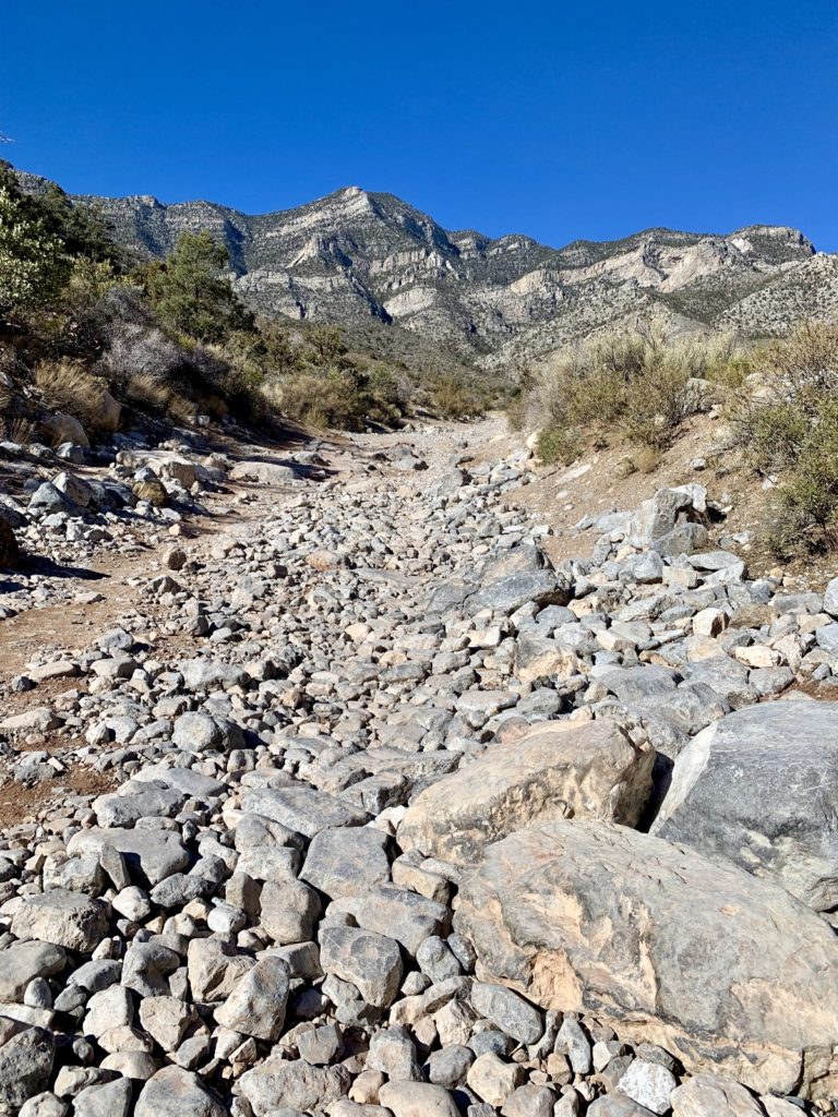
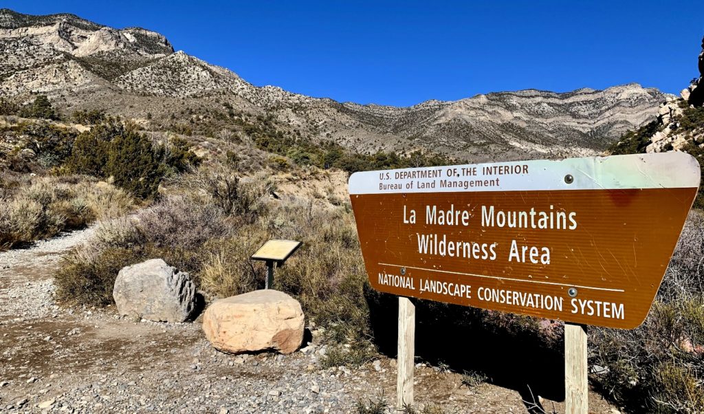
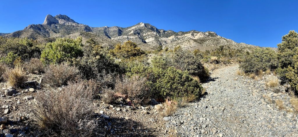
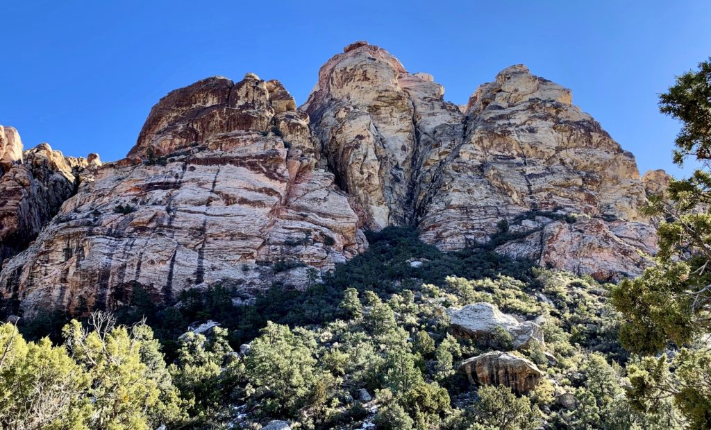
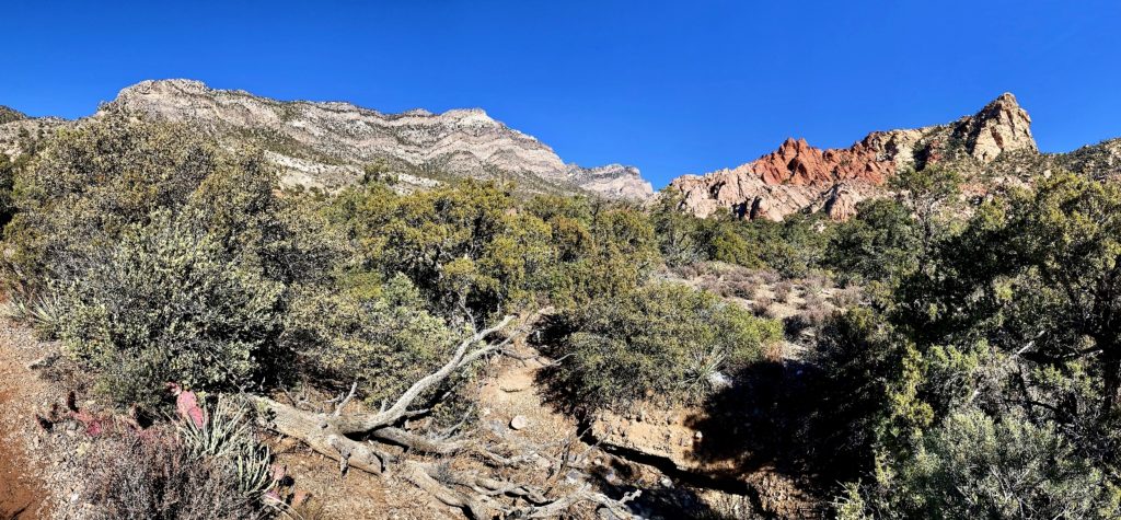
The trail did some climbing and we topped out with a great view of the trail behind us before grading back around to the east side of White Rock.
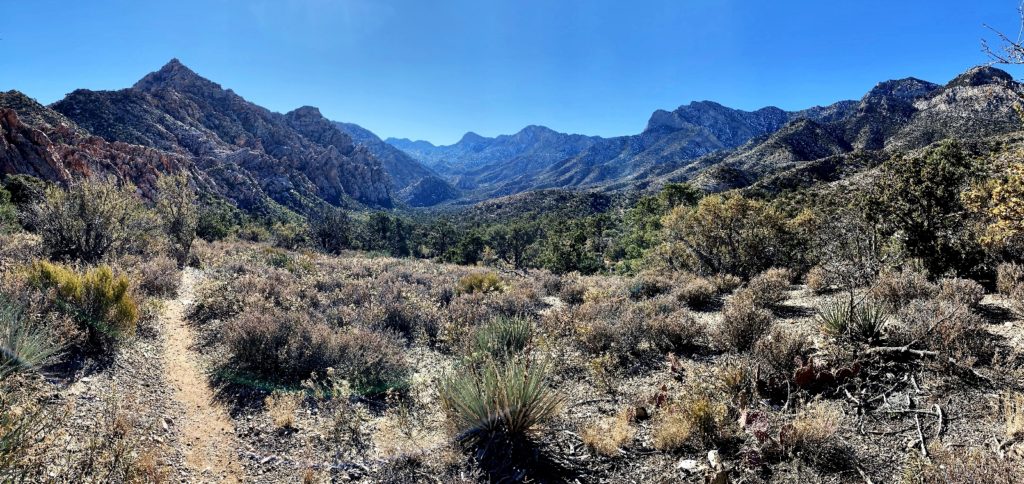
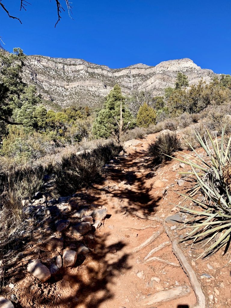
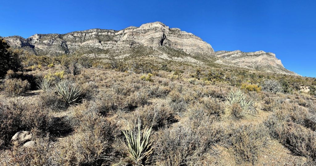
This was a fantastic hike with spectacular scenery and was one of my favorite hikes of our trip. Total mileage was 7.75 miles with an estimated 1,000 feet of elevation gain. Aside from at the trailhead and Willow Springs Picnic Area, we only saw half a dozen parties—a real score considering how busy this recreation area is. The trail was well-signed and while it was pretty rocky in places, the tread was generally quite good. We had beautiful weather with sunny skies and temperatures in the low-mid 50s. We were really impressed with our first day in Red Rock, but we weren’t big fans of the long drive through Vegas traffic to get there from Lake Mead. We have many more trails we’d like to hike at Red Rock, but we’ll stay closer the next time we visit.
Las Vegas Bass Pro Shop

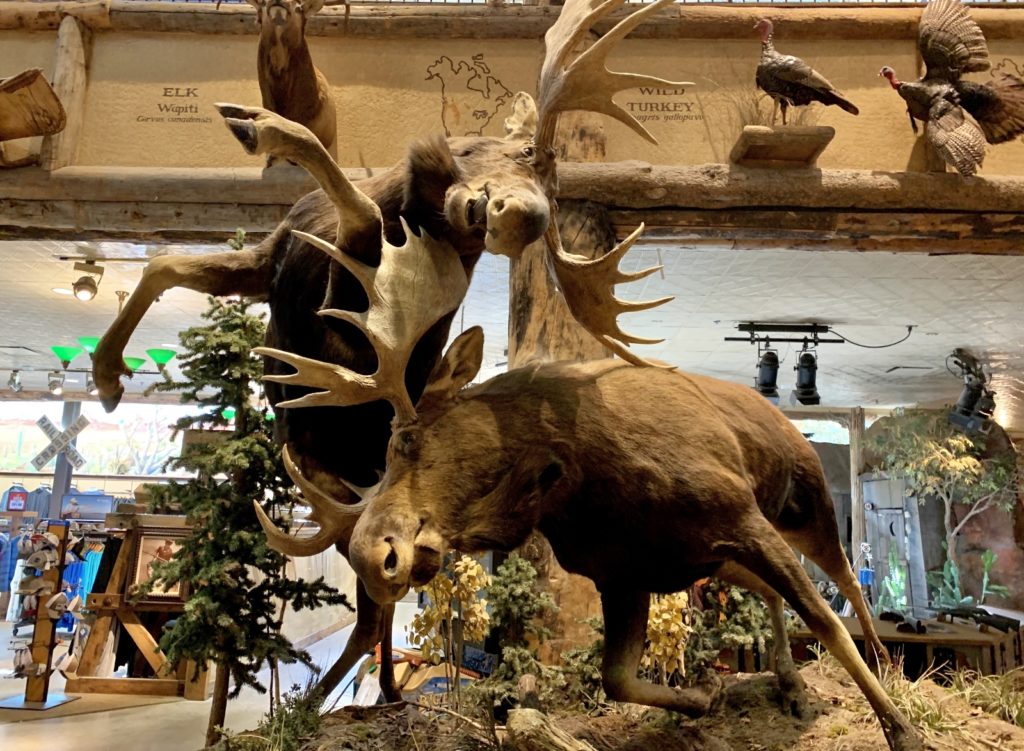
We aren’t much for shopping, but some stores are just too hard for Evans Outdoor Adventures to pass up. Stores like REI and Bass Pro Shops top the list. While researching things to do in Vegas, Jason discovered they have a Bass Pro. Every time I asked him what he wanted to do he’d say, “go to Bass Pro!”
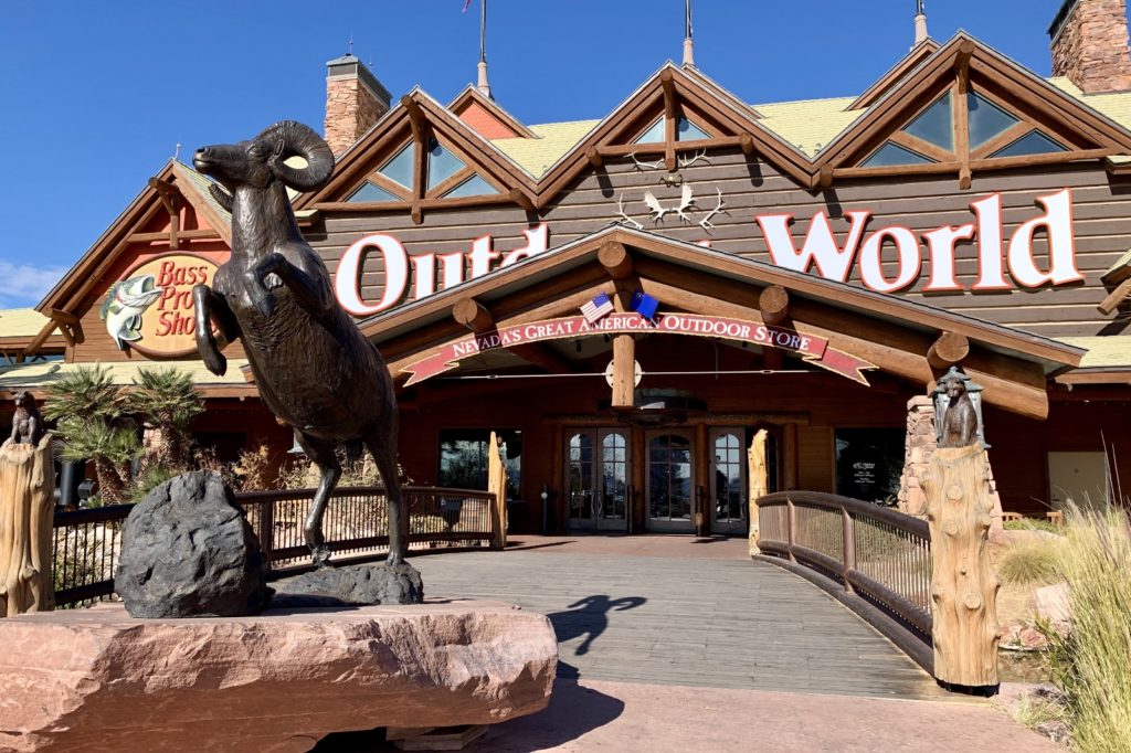
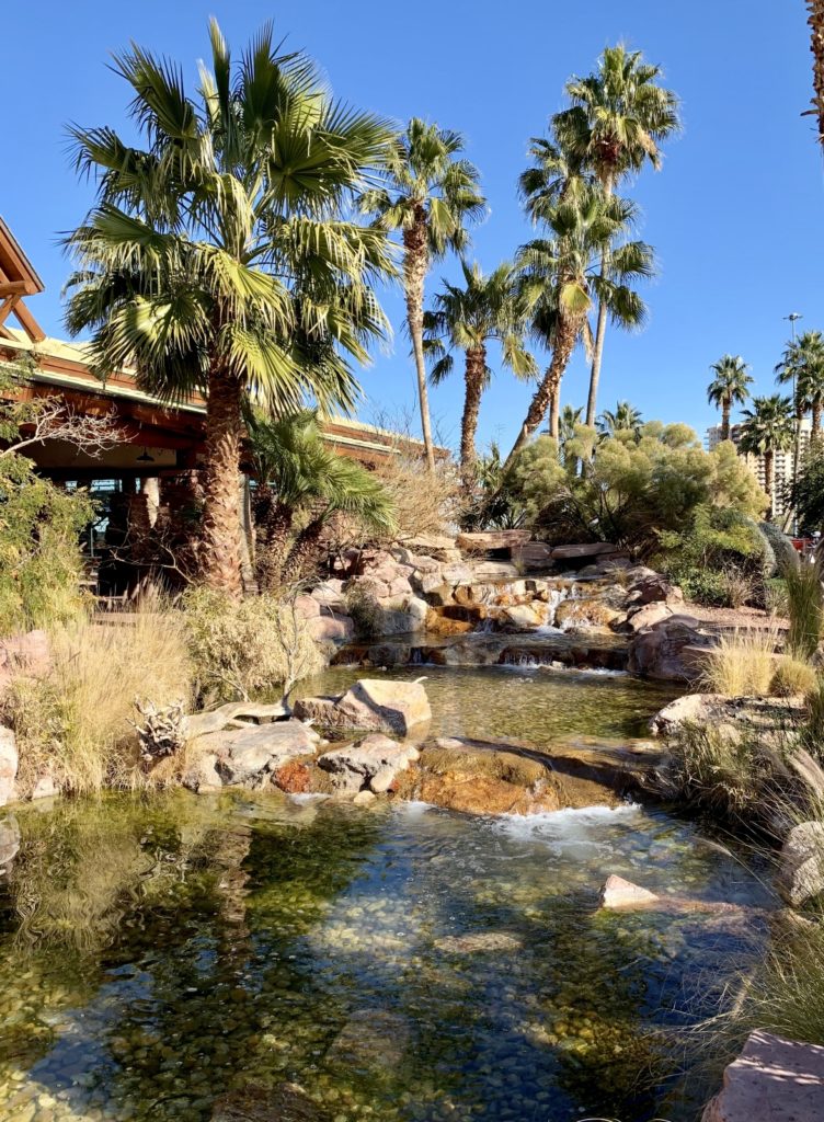
Living in a 28 foot long box, you can’t get too carried away on a shopping spree, so we behaved ourselves pretty well. We bought some outdoor clothes we were needing and picked up a couple funny t-shirts for my parents as a small thank you for house sitting and acting as our mail forward the past four months.

Sunning Ourselves At Lake Mead
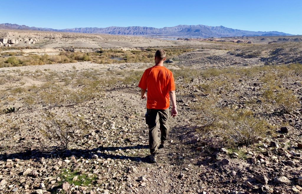
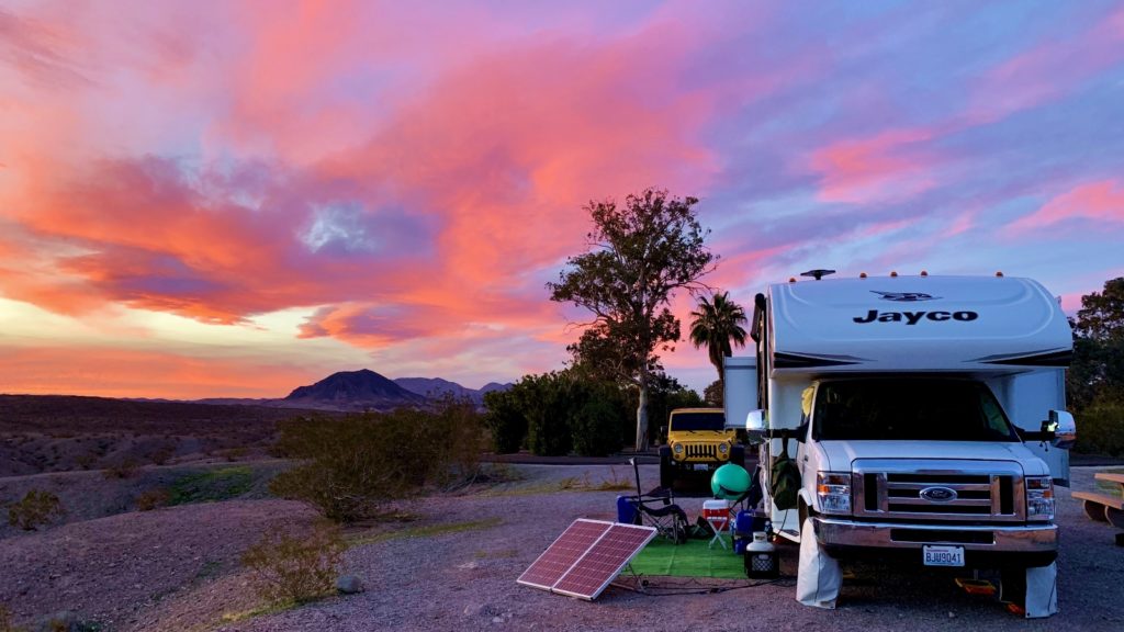
We spent several days lazily exploring some short trails on Lake Mead’s west shore. None were long or strenuous, but they were a great way to stretch our legs before spending the afternoons soaking up the winter sun from our lounge chairs back at camp.
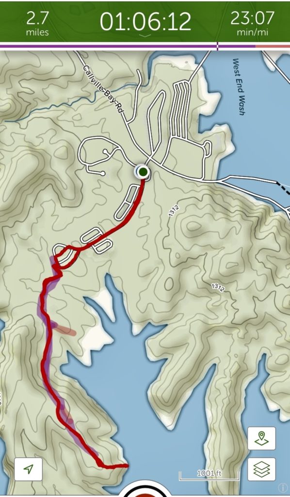
Callville Bay Hike
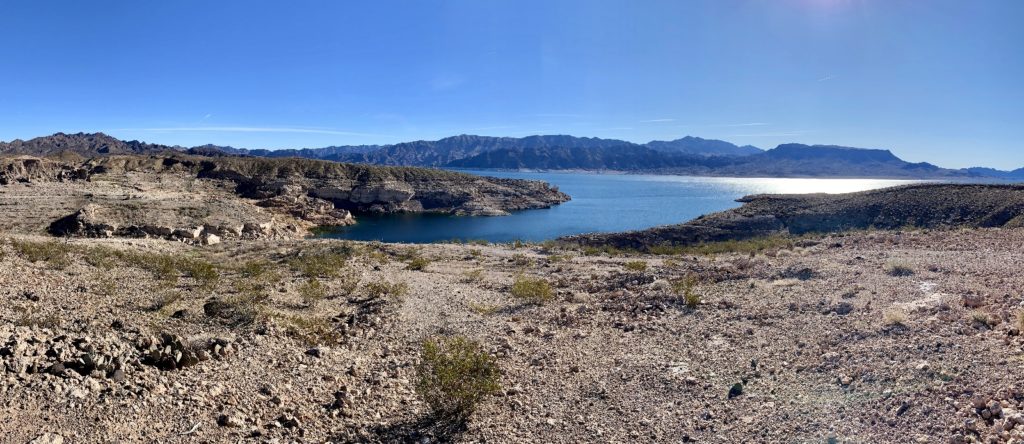
This 2.7 mile round trip hike took us from the Callville Bay Campground along a closed off 4×4 road to a nice overlook above Lake Mead with distant views of the Muddy Mountains and Pinto Valley wilderness areas to the north.
Las Vegas Bay Campground Loop
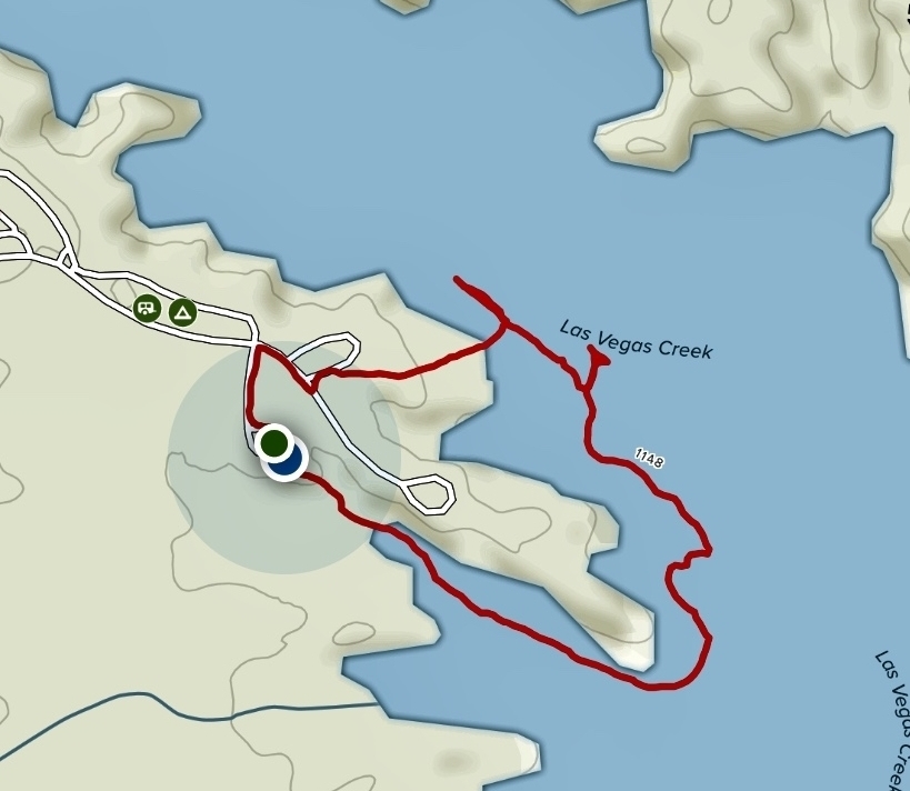
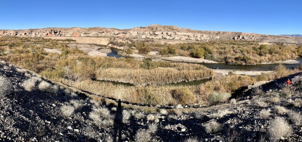
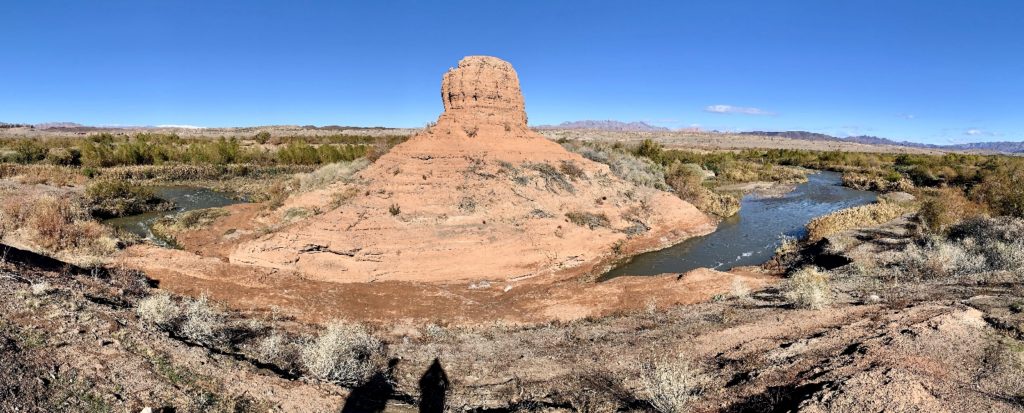
This is not an official trail, but is a fairly well-worn user route that departs from the no generator loop in the Las Vegas Bay Campground. The 1.25 mile loop offers nice views of Las Vegas Creek, Lake Mead, and the surrounding mountains.
Lakeshore Trail
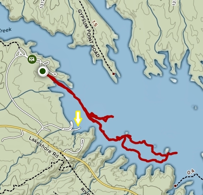
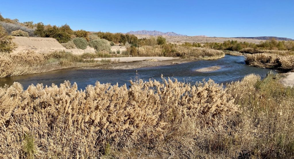
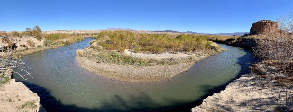
Our favorite area trail was the Shoreline Trail which we were able to access from our campsite at Las Vegas Bay Campground. For those not staying in the campground, I recommend starting the trail at the end of the old Las Vegas Bay boat launch where the concrete launch ends at some barricades (see yellow arrow on map below). The rock lined trail has nice mountain views and leads to an area of Las Vegas Creek that is rich with waterfowl. We hiked this trail several times during our visit and enjoyed all the birds we saw including pelican, egret, heron, kingfisher, hawks, various ducks, quail, and roadrunner. We typically made a 5.0 mile round trip hike, but it could easily be made longer or shorter.
The Adventure Continues
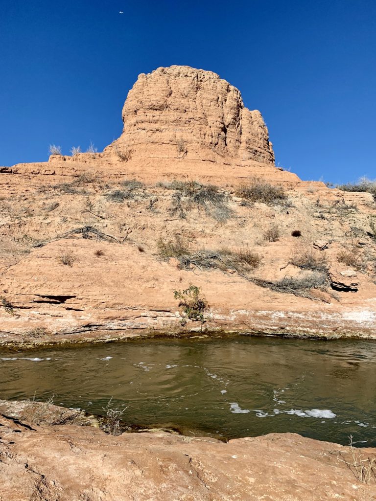
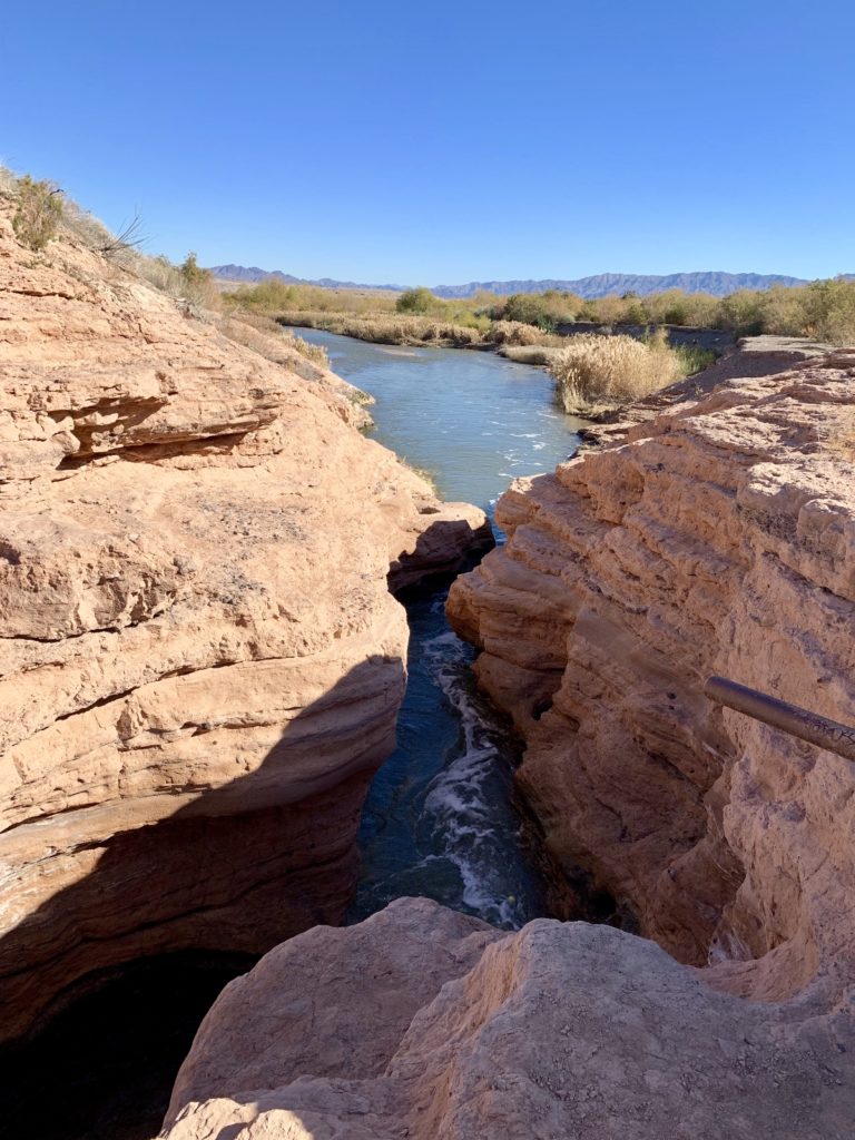
Join us next week as we explore a stunning slot canyon en route to the Colorado River and tour the fascinating Clark County Museum.

Your Support Helps!
Are you enjoying being part of our adventure? Do you like what you see here? If so, please consider supporting this site by doing some of your online shopping here. We only post links to products that we use and that meet the Evans Outdoor Adventures seal of approval! Not interested in any of these items? No problem! By accessing Amazon through the links below and making any purchase, you get Amazon’s every day low pricing and they share a little with us. This helps us maintain Evans Outdoor Adventures and is much appreciated!
How in the heck do we find all these fun places? I do extensive research using a variety of online resources. I also go old school and use maps. Yeah, maps. Remember those things that we used before iPhones and navigation programs? I’m a big fan of the Benchmark Road and Recreation Atlas series for the American West. They show incredible details including parks, tourist attractions, bodies of water, campgrounds, rest areas, etc.