January 13 – 19, 2020
(photo credit L. Tanaka)
(photo credit C. Evans)
We had been in the Lake Mead area for several weeks. Our original plan was to push south into Arizona by mid-January, but we found we had little motivation to do so. We still had local attractions to explore, the weather was perfect, we had the best site at Las Vegas Bay Campground complete with privacy and fantastic view of the beautiful sunrises…and perhaps we were being just a tad bit lazy.

White Rock Canyon Trail
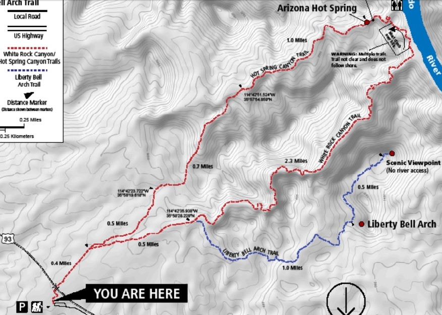
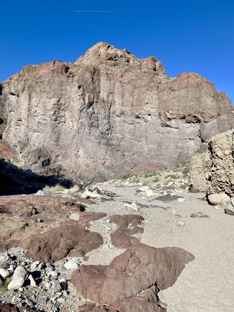
White Rock Canyon is an exceptional hike within the Lake Mojave region of Lake Mead National Recreation Area. The trail begins in a wide wash littered with large white boulders and winds into a slot canyon that takes you to the banks of the Colorado River on the Arizona side. This trail can be combined with the Hot Spring Canyon Trail to make a nice loop that takes you right up the middle of Arizona Hot Spring (click here for trail map).
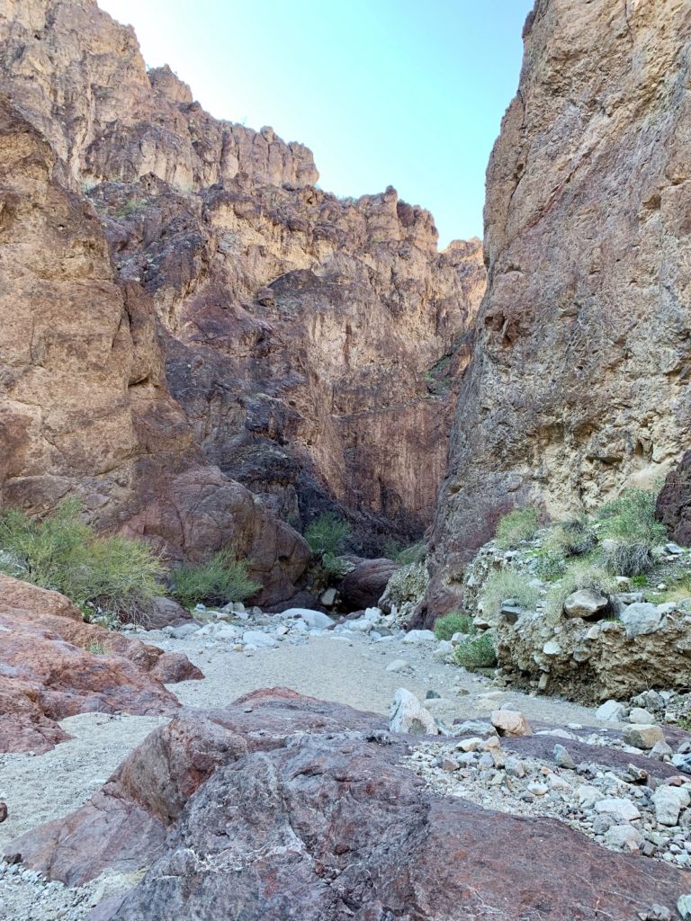
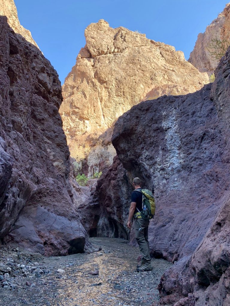
The first mile of trail was pretty pedestrian as we made our way down the broad wash. Once we passed the junction for Liberty Bell Arch (another great hike), the canyon walls quickly rose around us and we found ourselves in a stunning slot canyon. Hiking was easy and there were only a few very minor obstacles.
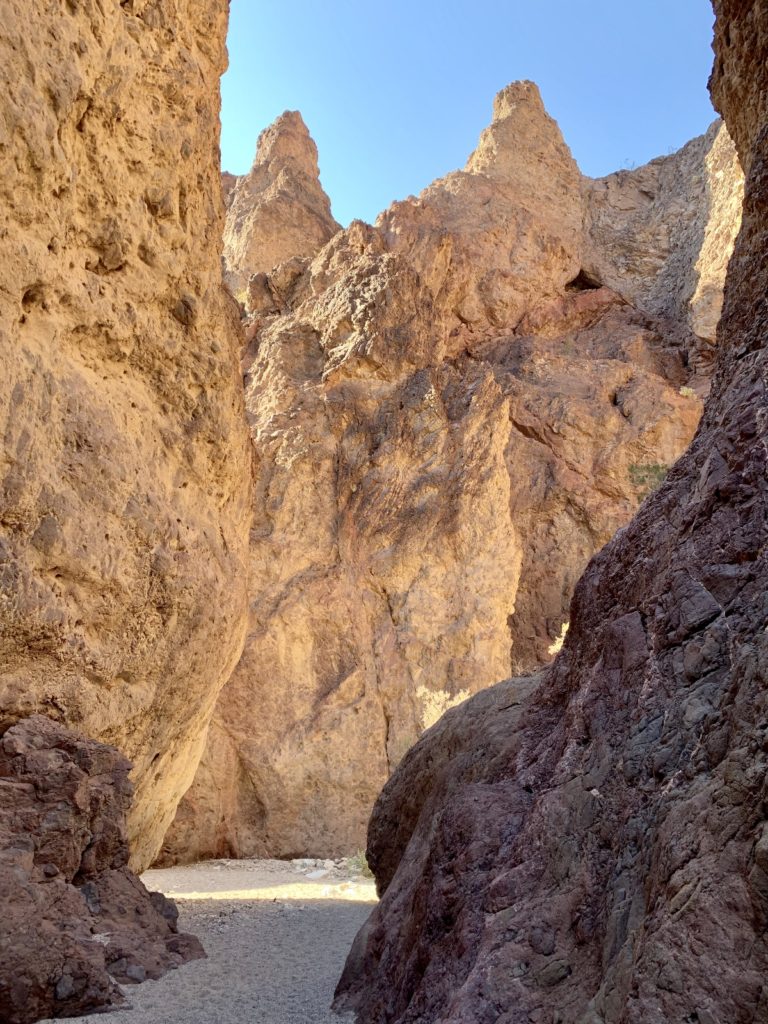
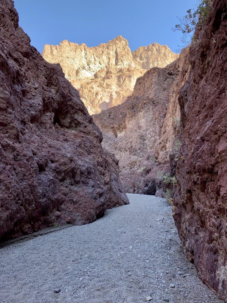
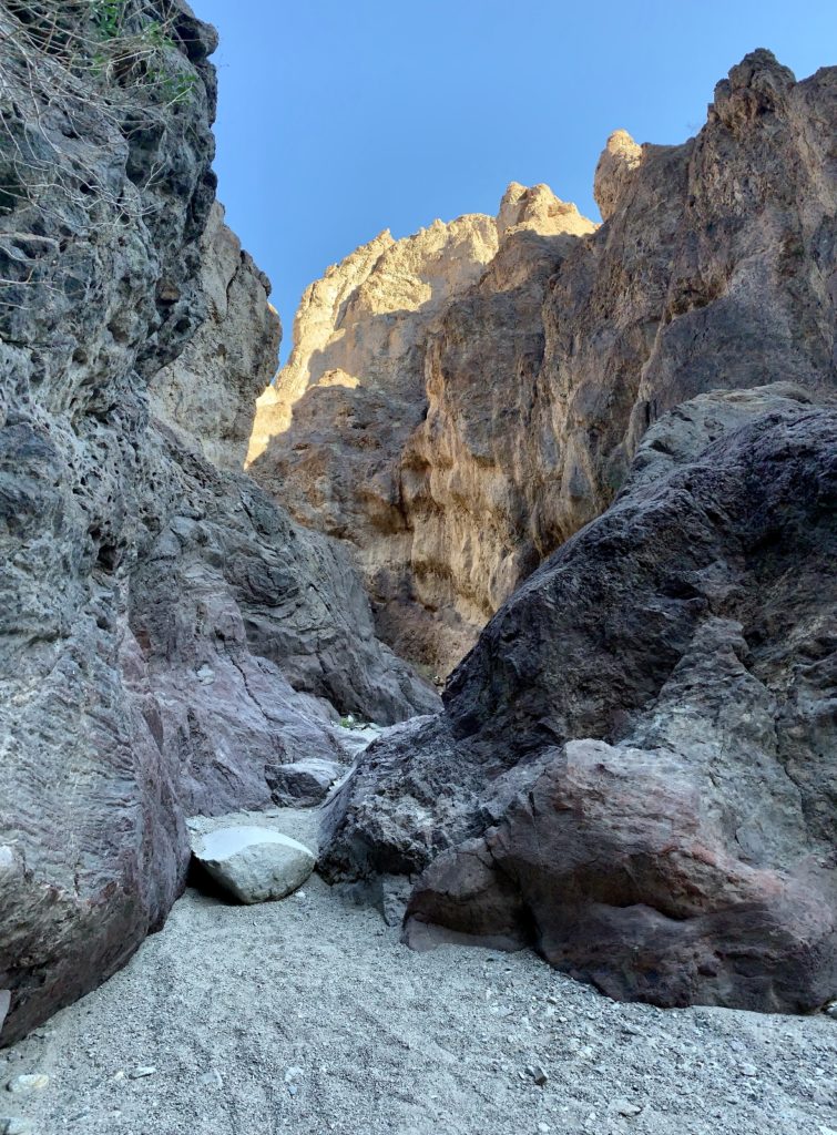
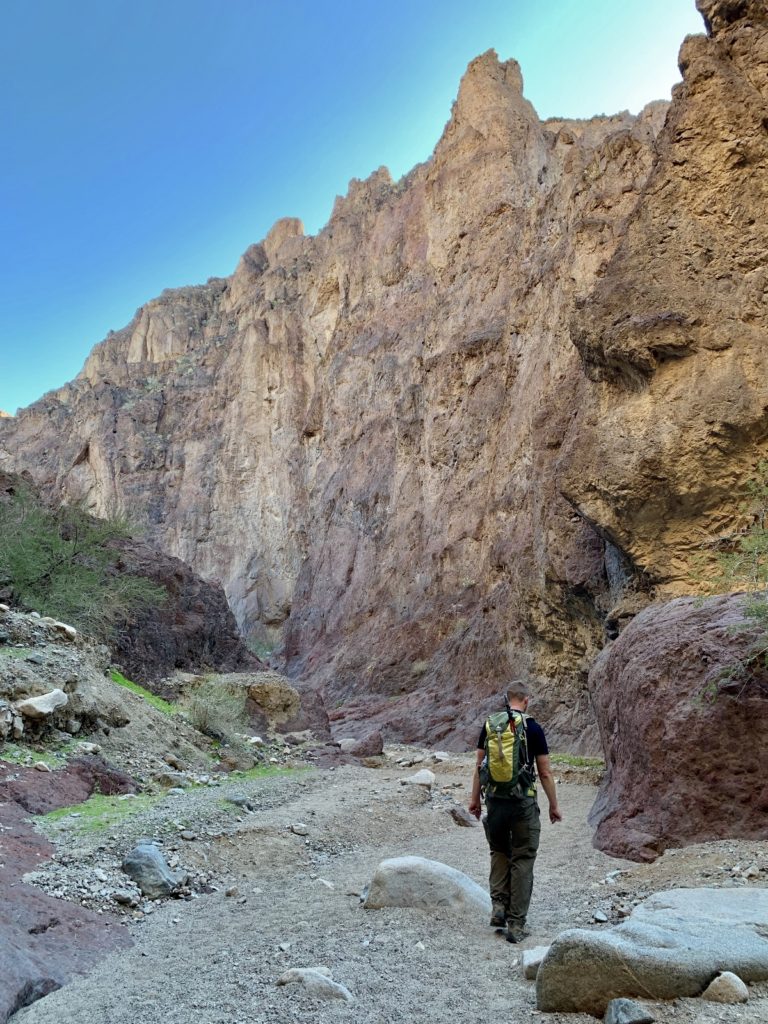
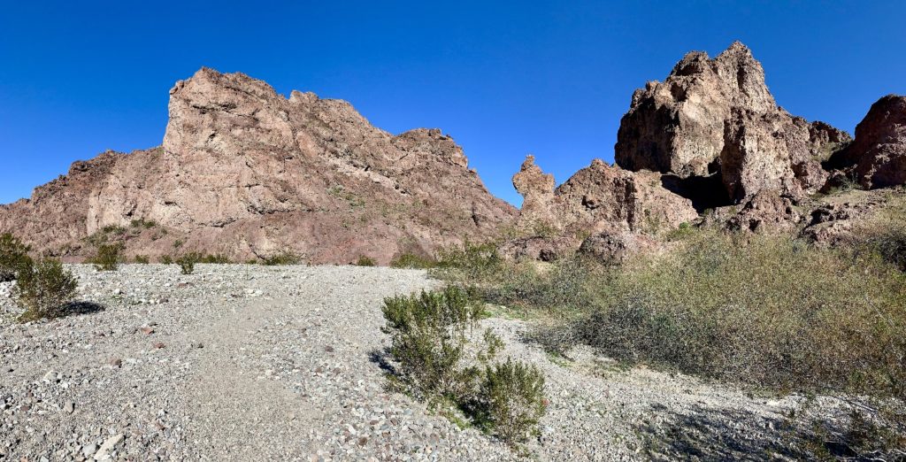
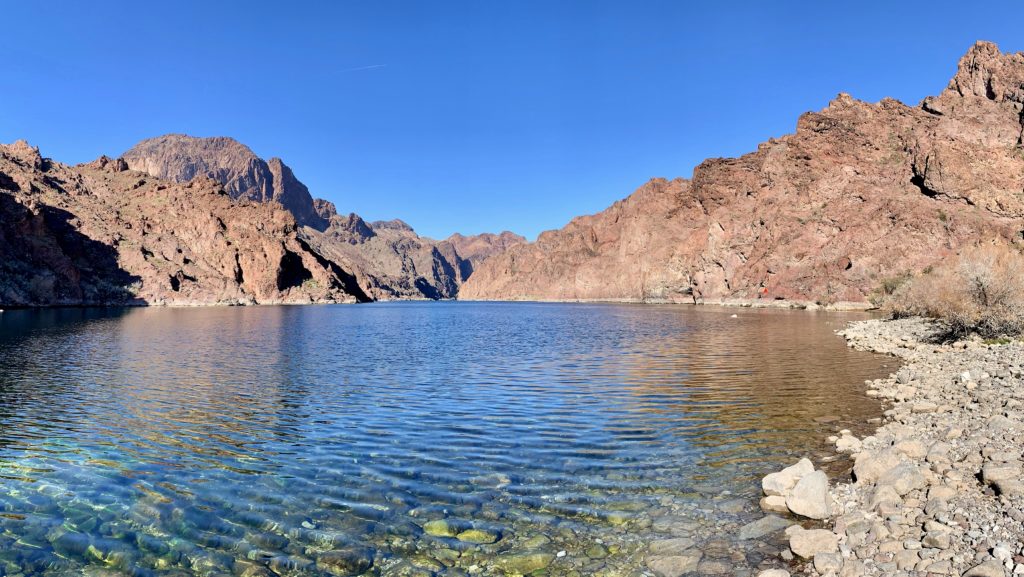
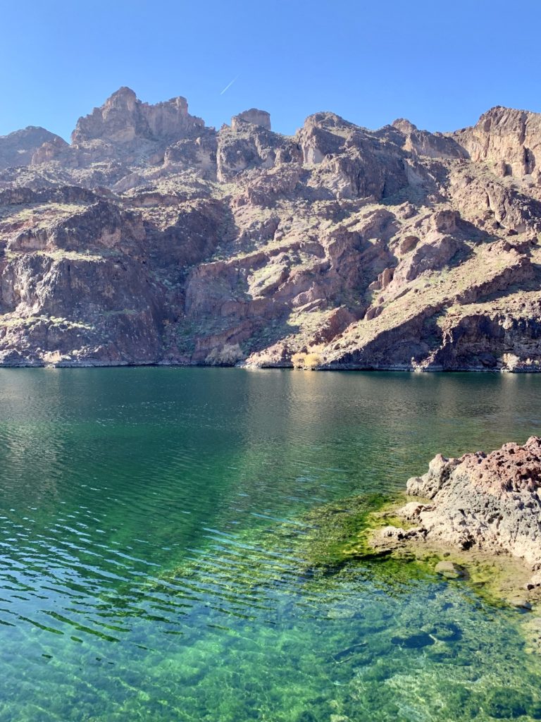
Exiting White Rock Canyon at approximately 3.5 miles from the trailhead, we found ourselves along the shores of the Colorado River in stunning Black Rock Canyon, just downstream from Hoover Dam. The water was crystal clear and several species of water fowl were enjoying the beautiful mid-January day. A pair of kayaks in the distance fueled Jason’s desire for some sort of small watercraft. I confess, I found myself envious as well. Changes we’ll be making to our RV life this year will give us more room to consider such toys.
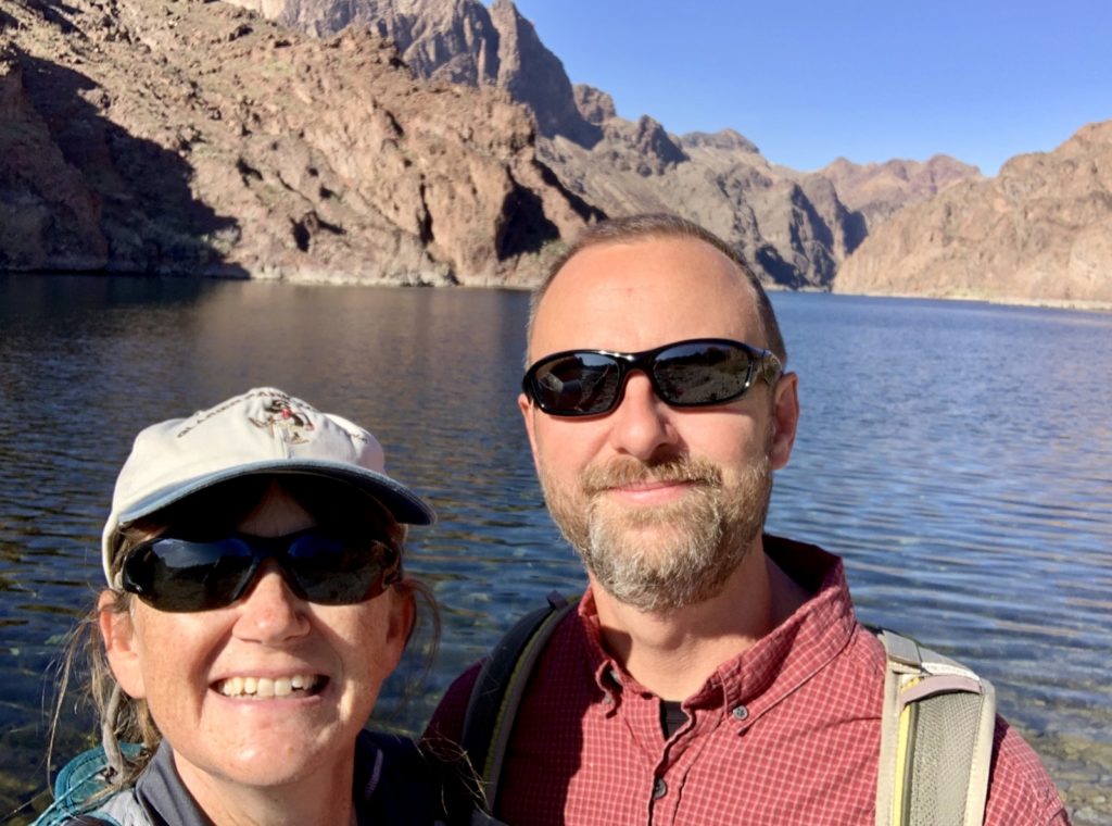
In 2014, the Secretary of Interior designated this portion of the Colorado River as a National Water Trail. You can access the Black Canyon Water Trail through a guided tour at the base of the Hoover Dam, from Willow Beach, Arizona, or near an old mining town in Eldorado Canyon, Nevada. The 30-mile trail has beaches, caves, coves, hot springs, desert bighorn sheep, and historic structures associated with the construction of Hoover Dam (click here for route description and map). We’ll definitely be coming back here if we get kayaks!
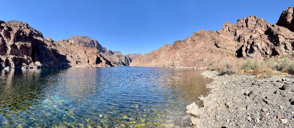
After a nice break at the water’s edge, we continued down river along steep and rocky trail that at times was a little hard to follow. You can’t really get lost here, just follow the path of least resistance and keep your eyes out for spray painted arrows on the rocks.
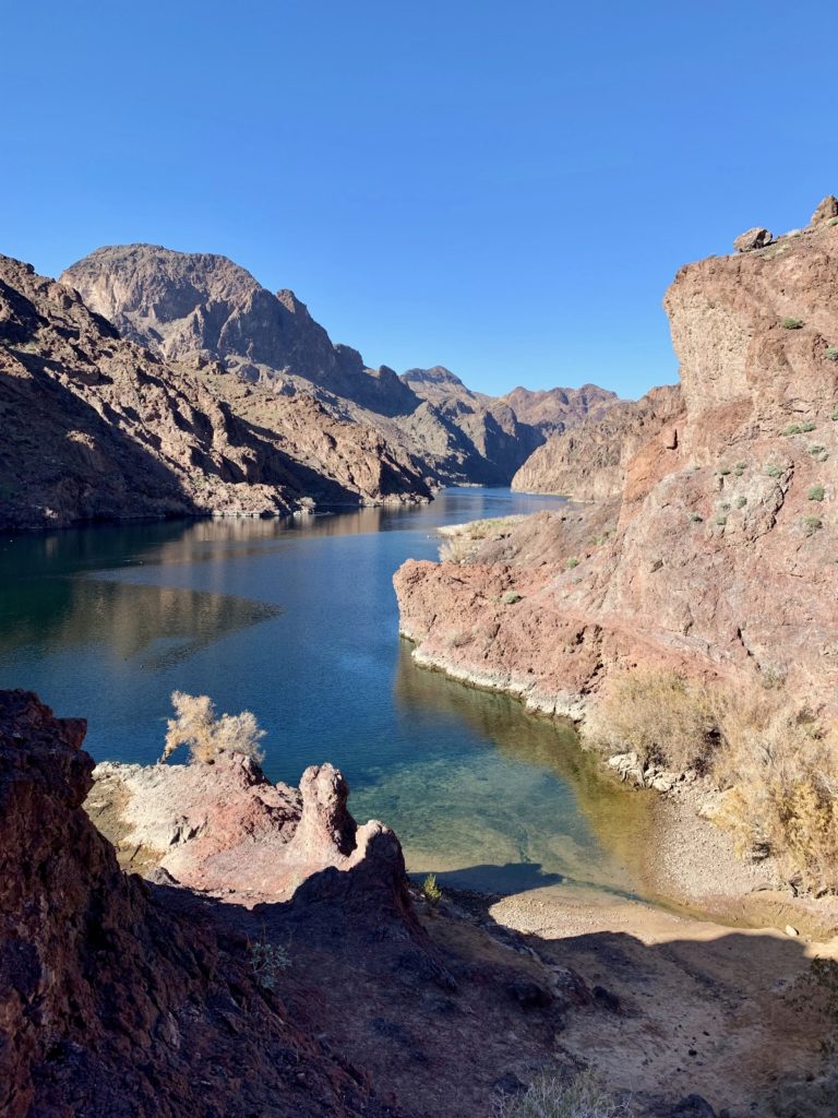
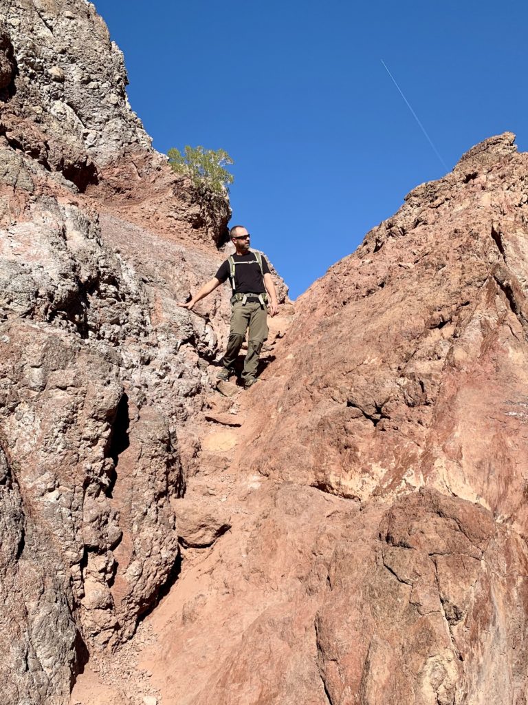
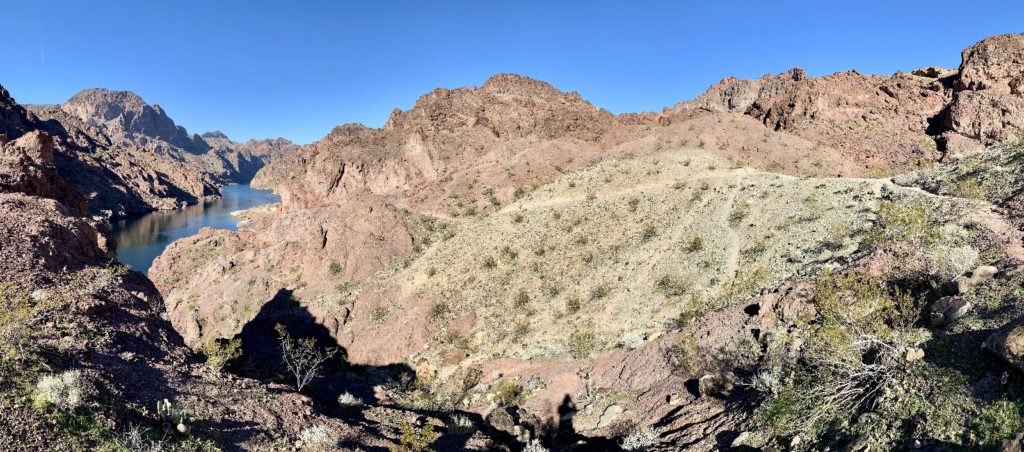
At the junction of Hot Spring Canyon and the Colorado River, we met up with a group of guided hikers who had come in via Hot Spring Canyon. It was only after talking with them that we realized we’d have to wade through waist deep water if we wanted to complete the loop hike through Arizona Hot Spring. Had I realized this, we would have brought a change of clothes. We both agreed we didn’t care to hike back in wet undies, so we explored a short distance up the highly scenic Hot Spring Canyon before retracing our route back to the trailhead. We would like to return some day with appropriate attire and complete the loop hike with a soak in the hot spring.
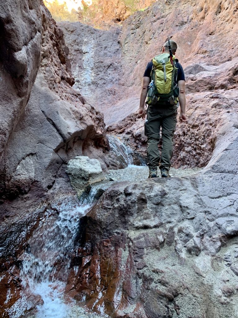
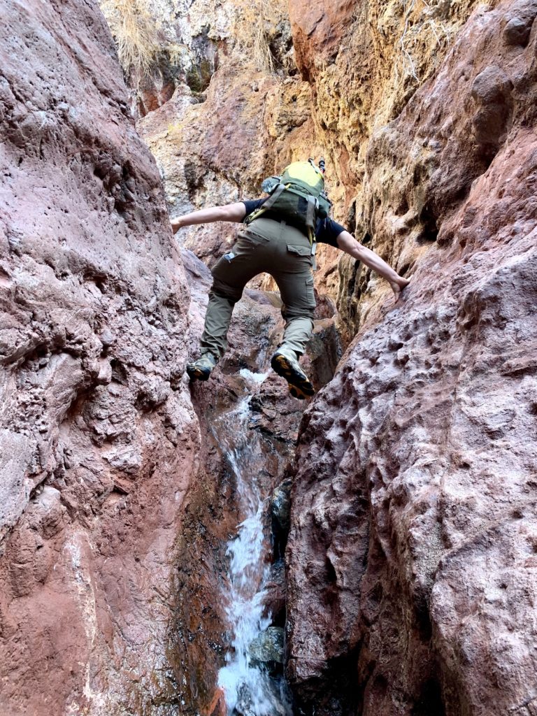
If you include Arizona Hot Spring in your hike, please use caution. Naegleria fowleria, an amoeba common to thermal pools, may be present and could enter through the nose causing a rare infection and death. Take care to not submerge your head. As a microbiologist familiar with this disease, I urge you to take this warning seriously. This infection is nothing you want to mess with—while rare, it does occur in the U.S. and is quite horrible. Also keep an eye out for rattlesnakes during the warmer months and note that the trail is closed from mid-May thru the end of September due to extreme heat.
The out and back trail down White Rock Canyon to the river is 6.5 miles round trip with a total elevation change of 885′. By adding the leg down the Colorado River and a short exploration up Hot Spring Canyon, our hike totaled 8.0 miles. The National Park Service rates this trail as strenuous. While I wouldn’t go so far as to describe this as a strenuous hike, the loose sand/gravel in the bottom of the canyon will give your legs a good work out. Be sure to take plenty of water for this hike!
To access the trailhead from the Lake Mead Visitor Center, follow US Hwy 93 east 8.4 miles (4.2 miles past Hoover Dam). Watch for the small trailhead sign and turn left across the double lane highway (we were expecting a right hand exit and missed the turn off). If you are coming from Kingman, Arizona, the trailhead is .2 miles before the mile marker 4.
Clark County Museum
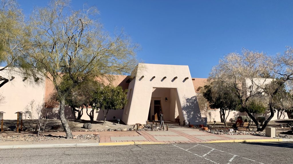
Clark County Museum, in Henderson, Nevada, is a 30-acre facility that features an exhibit hall with a timeline of southern Nevada from pre-historic to modern times and a spectacular outdoor living museum that depicts daily life from different decades in Las Vegas, Boulder City, Henderson and Goldfield.

We began our visit at the Southern Nevada Time Line inside the Exhibit Center. We saw historical pieces from pre-historic through modern times and learned a lot about the founding of Vegas and its growth during the twentieth century.
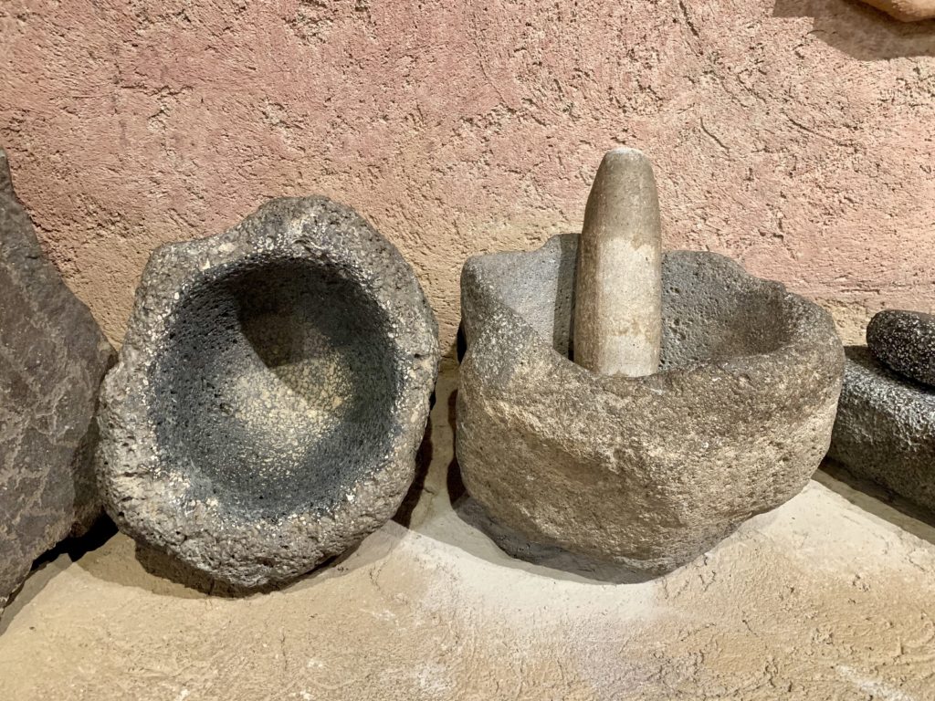
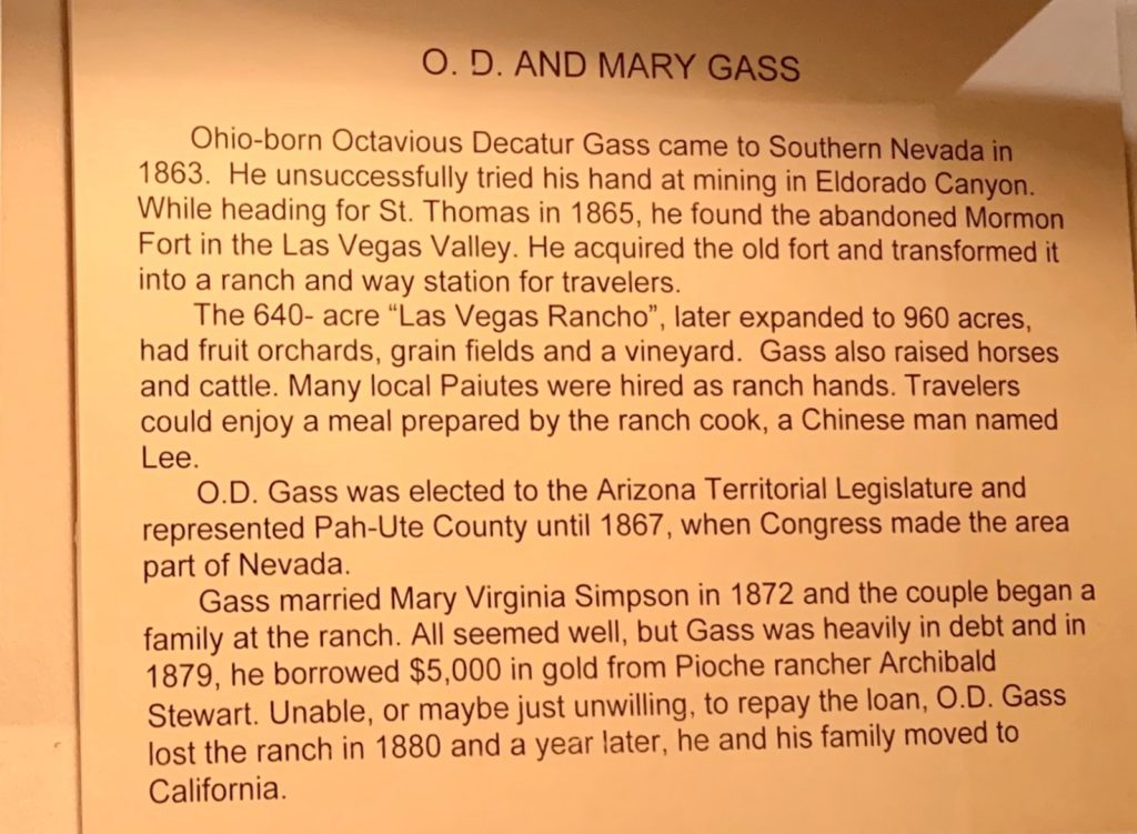
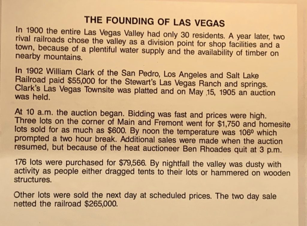
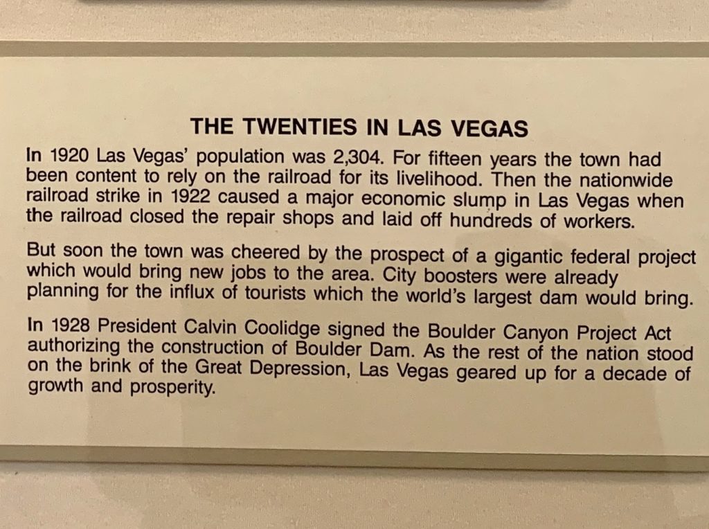
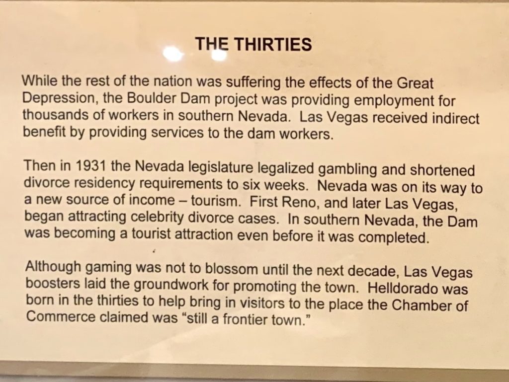
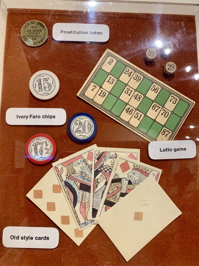
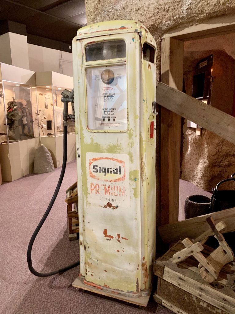
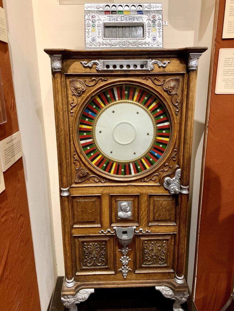
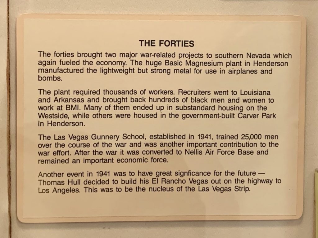
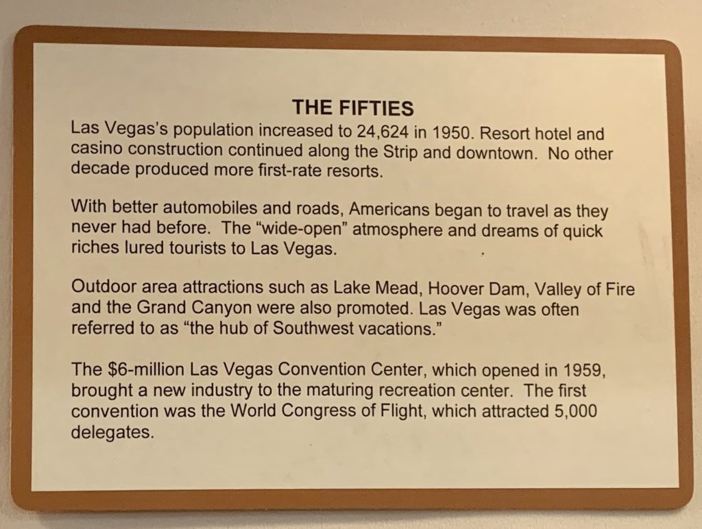
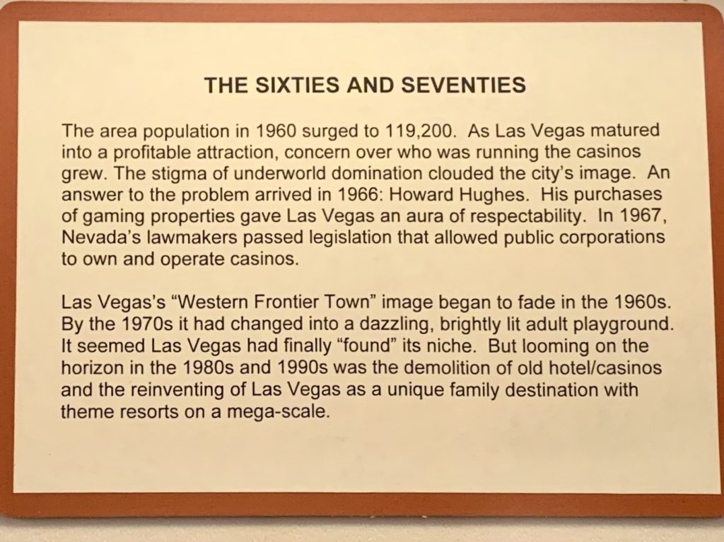
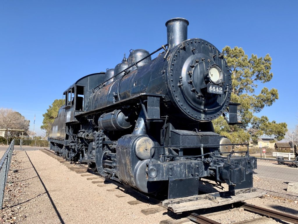
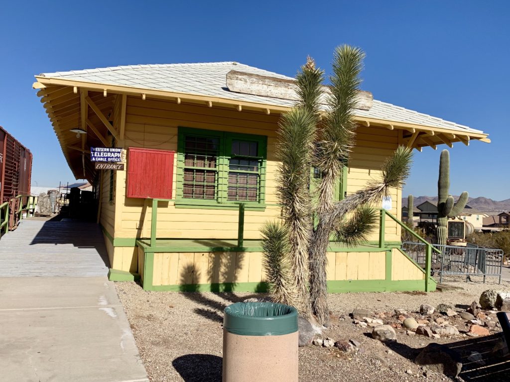
We exited the Exhibit Center and began exploring the massive outdoor living museum. The goal of a living museum is to recreate settings to simulate a past cultural and historical period so that visitors can feel like they are in the period to the greatest extent possible. This is where the Clark County Museum really shines. Their collection and organization of original structures and period pieces is quite impressive. They have thought of every little detail right down to the clothes on the mannequins.
Our first stop was at the train depot that had been moved from nearby Boulder City. Walking past the train and into the depot, it felt as though we had been transported back in time. We walked past a check in counter and scales that had been used to weigh passengers bags. We saw an impressive collection of signal lamps and a dining set that had been used on a Union Pacific train. You really get a sense of what it would have been like as a passenger. Next to the depot, a desert trail lead us past a ghost town with rustic buildings from around Southern Nevada.
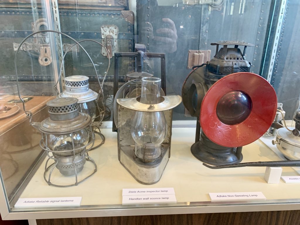
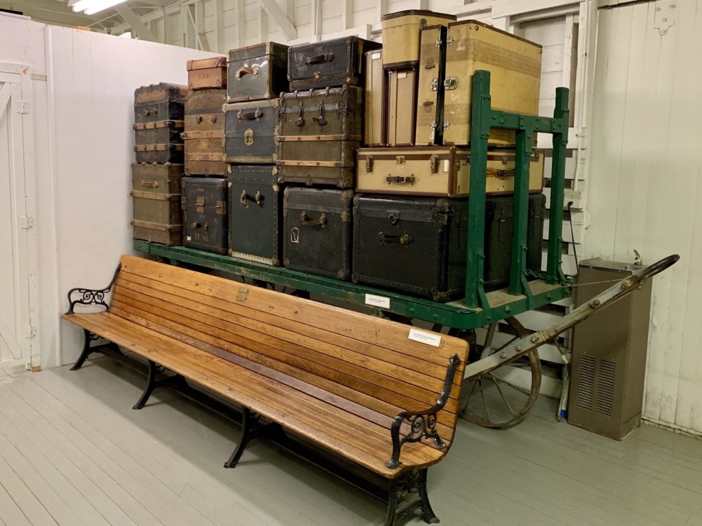
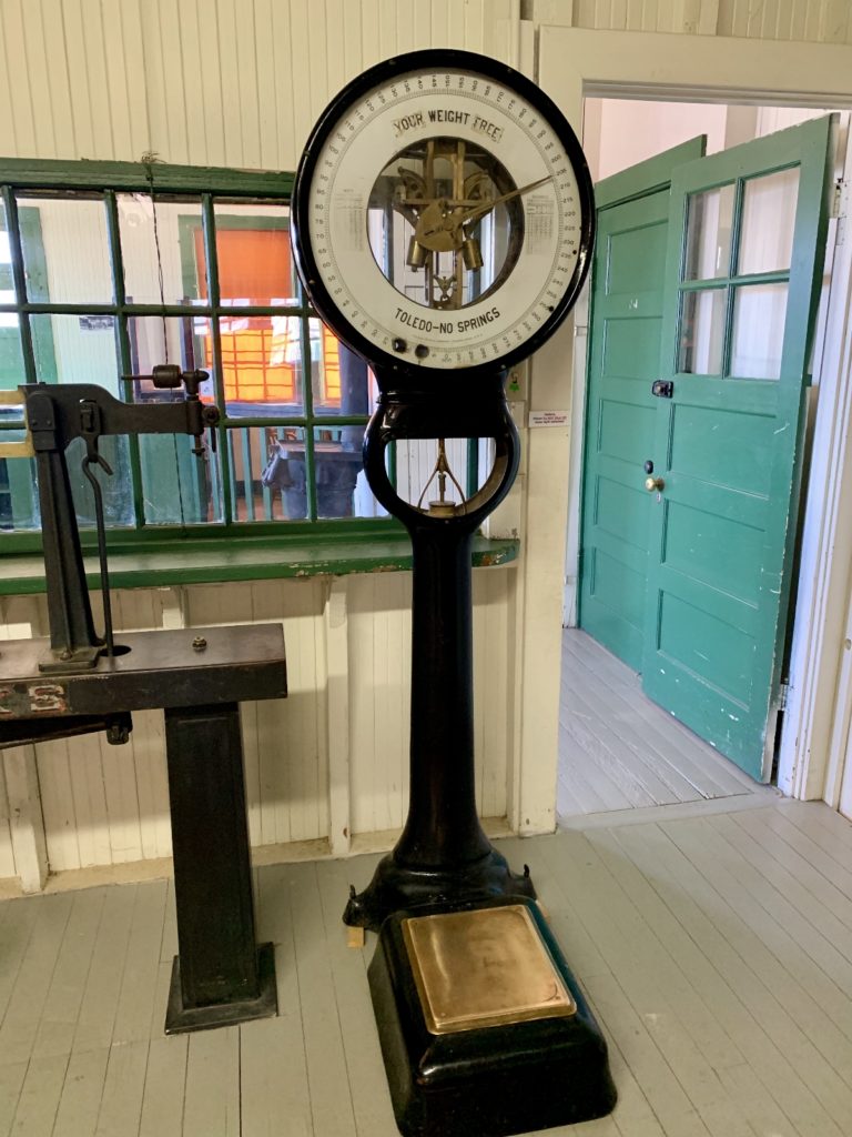
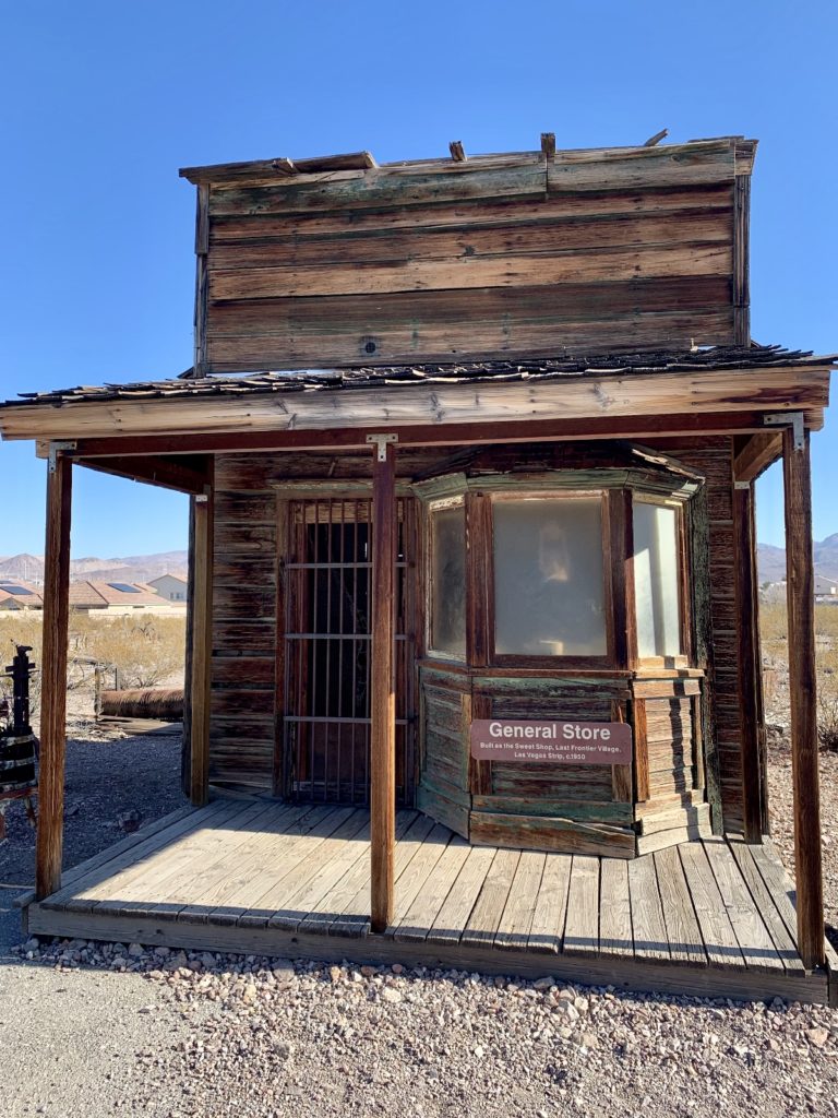
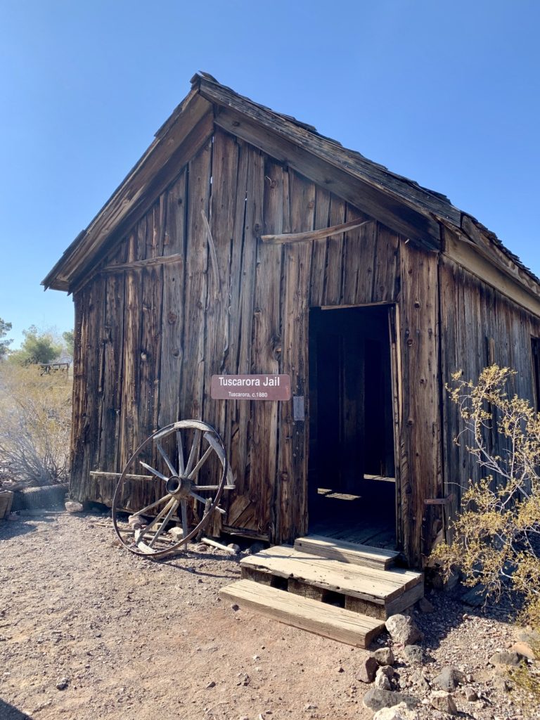
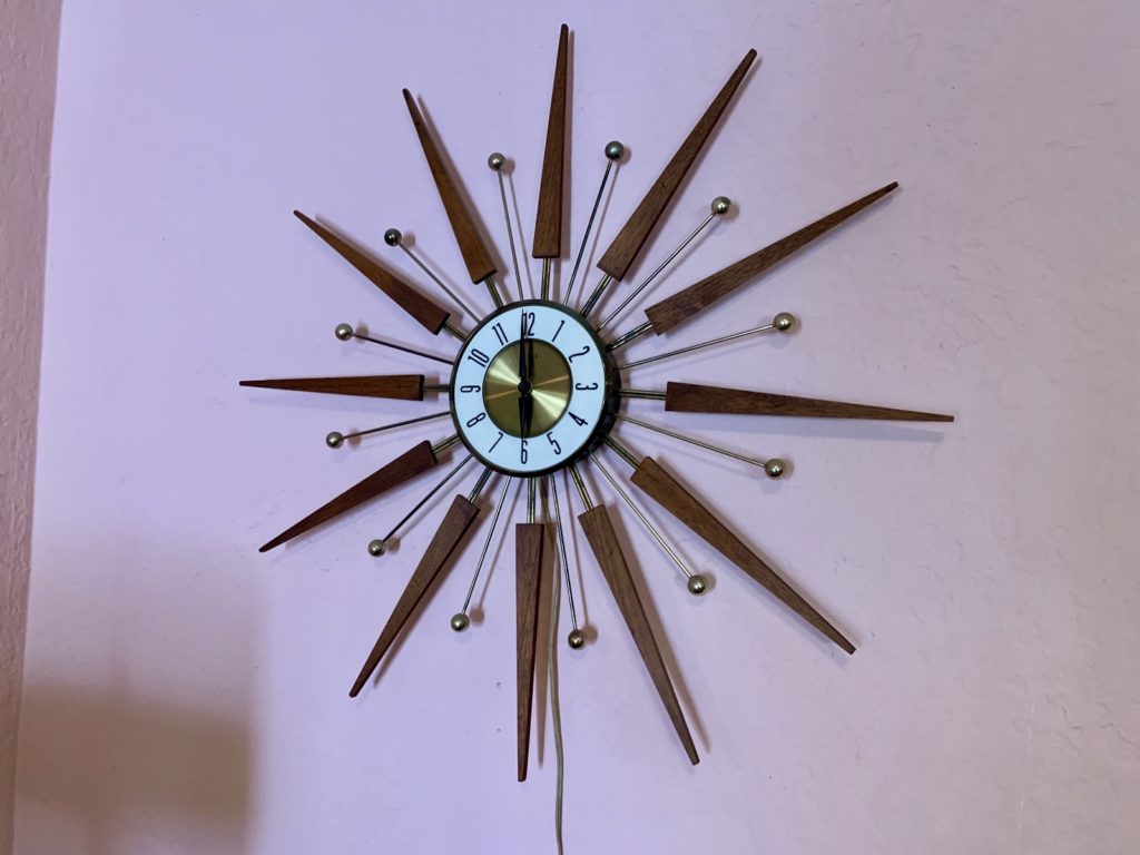
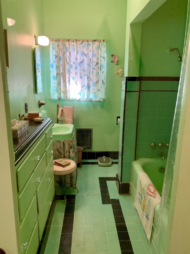
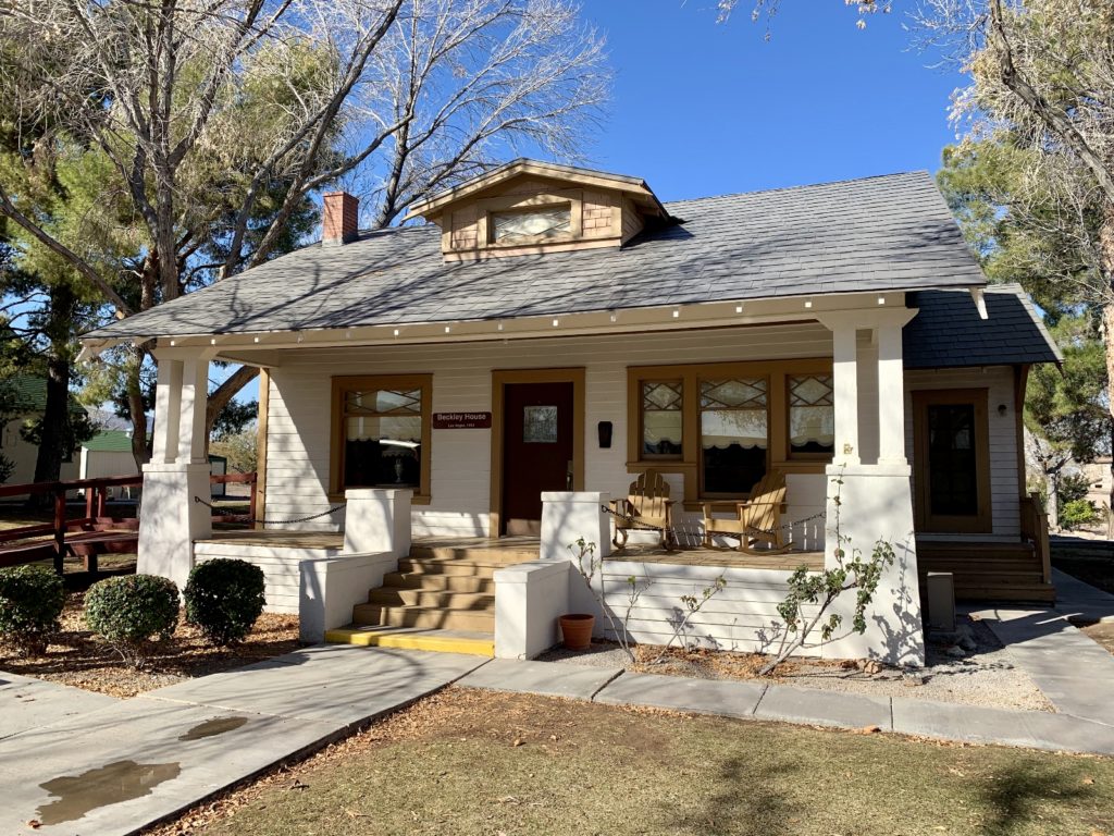
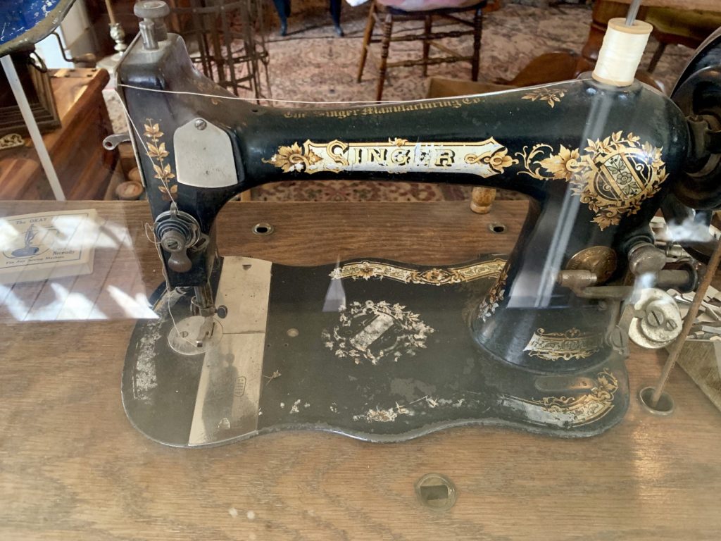
The museum highlight for both of us was Heritage Street, a unique collection of historic homes from the 1910s to the 1970s, restored to recreate the lifestyles of important periods in local history. The homes had been moved in from around the state and were decorated inside and out with period decor. We were able to go inside each of the homes and transport ourselves back in time. Glass walls made photography difficult, but allowed viewing of each room while protecting the fragile pieces from curious little (and big) hands. Our favorite moments were when we could exclaim things like “my parents had that same color of green in their house” and “that exact clock is still in the family home”!
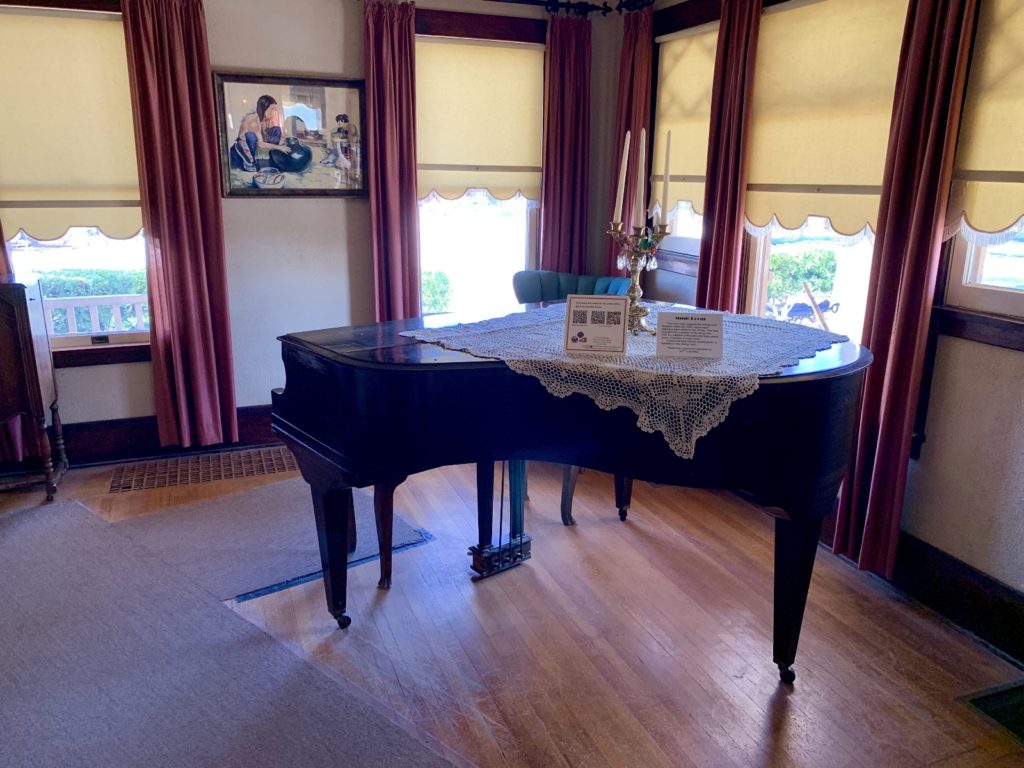
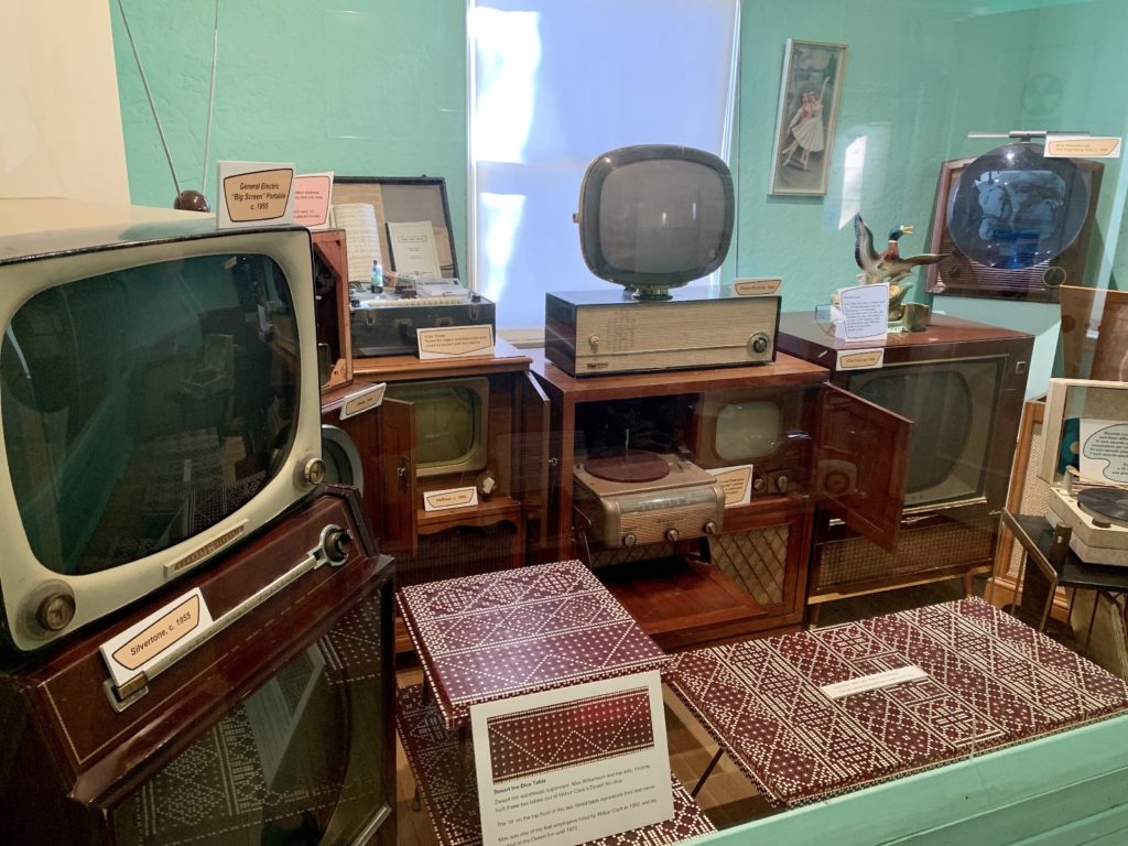
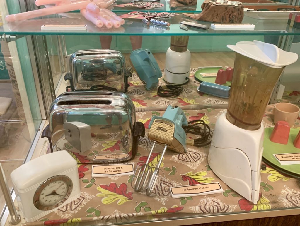
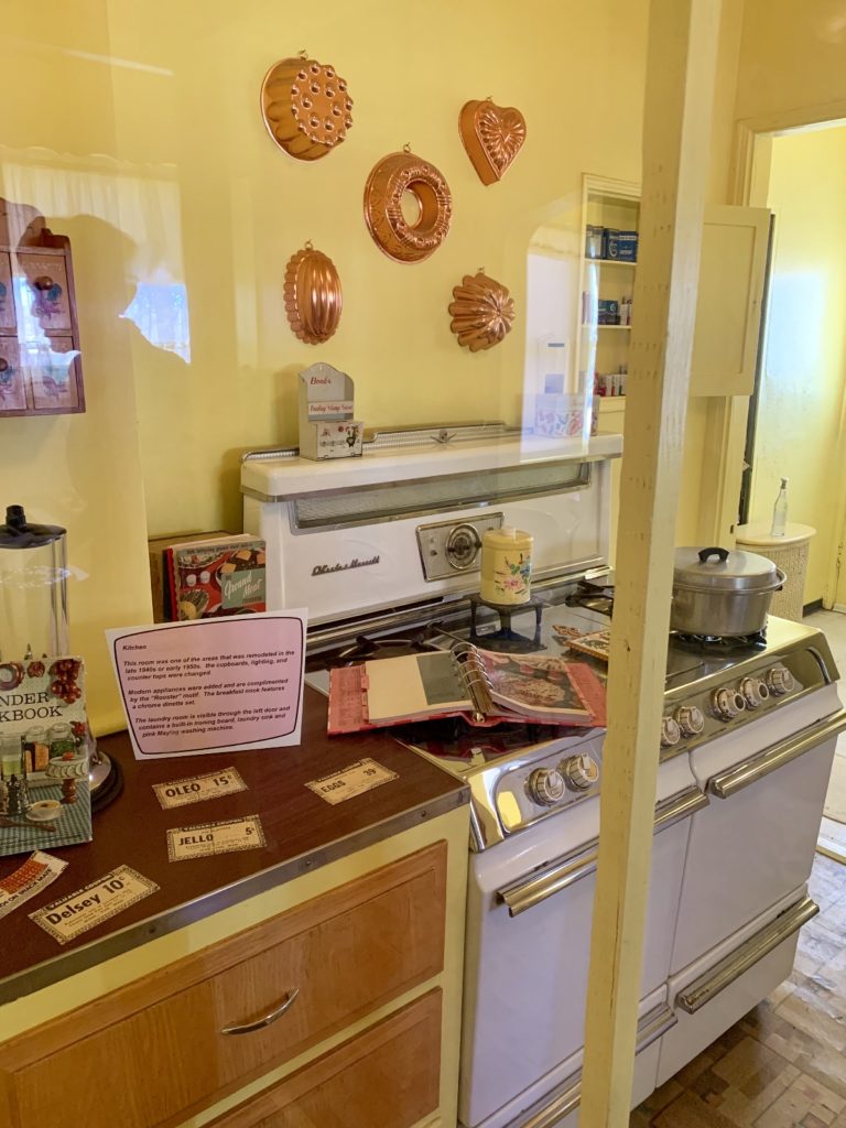
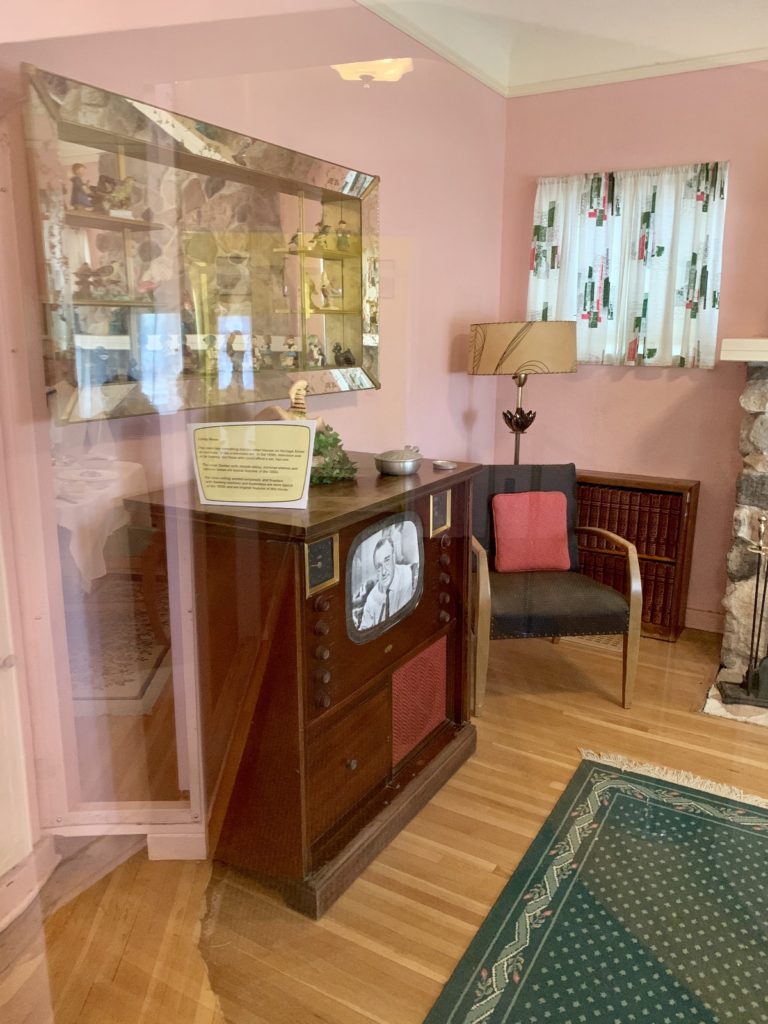
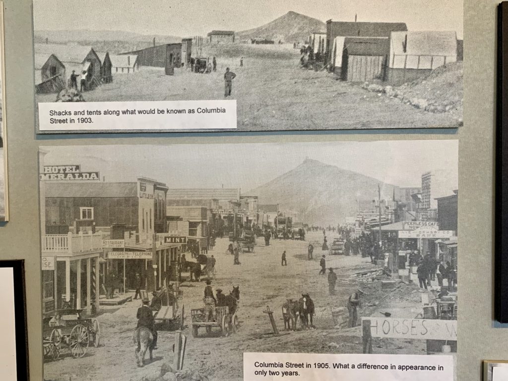
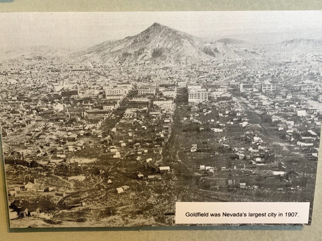
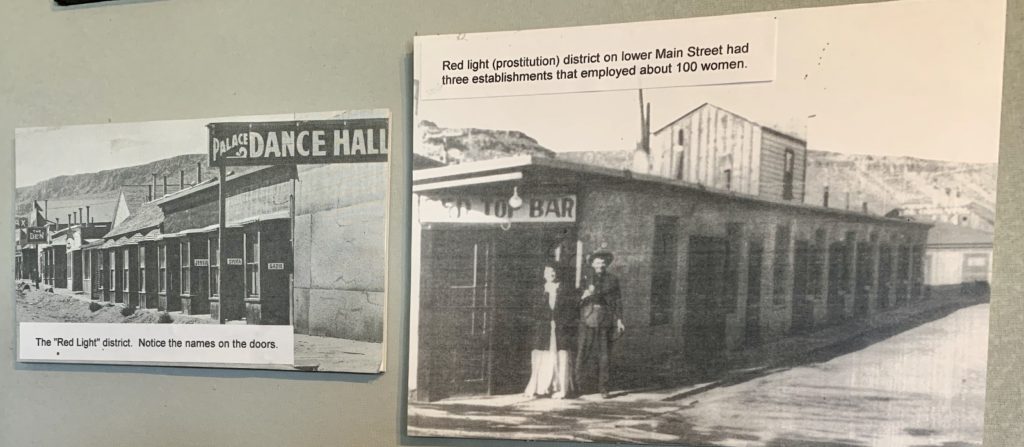
One of my favorite homes was the Giles/Barcus House from Goldfield, Nevada (1924). A few shacks and tents in 1903, Goldfield was Nevada’s largest city just four years later thanks to area gold mines that produced more than $86 million dollars at then-current prices.
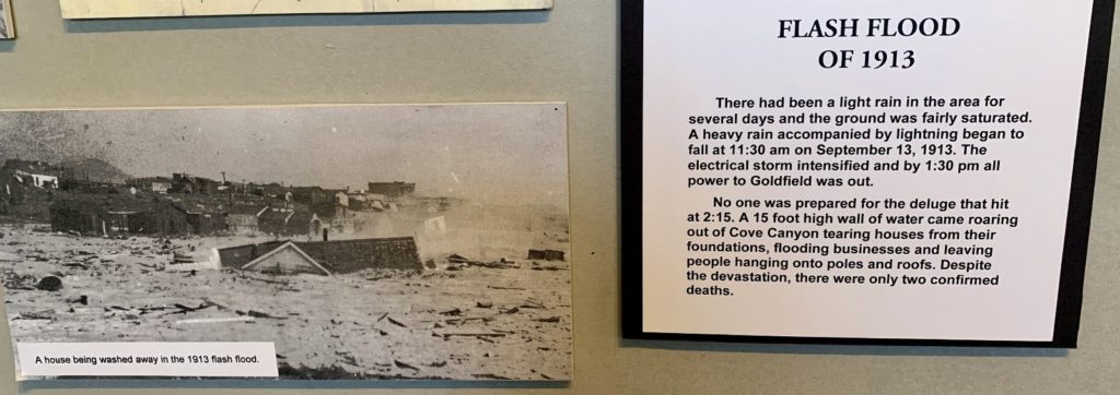
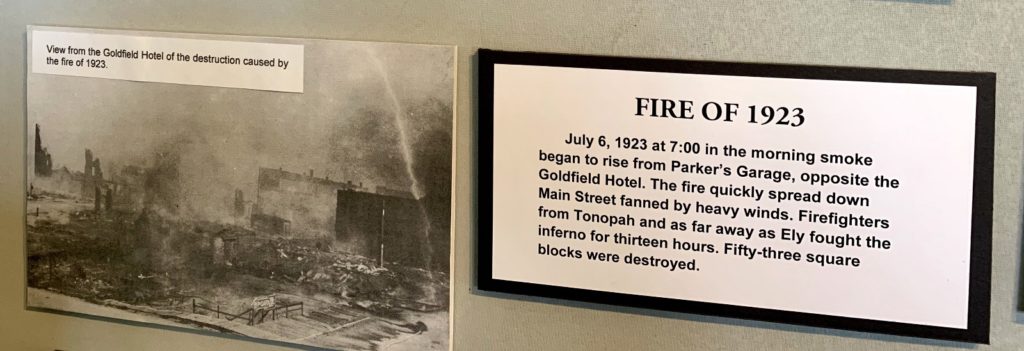
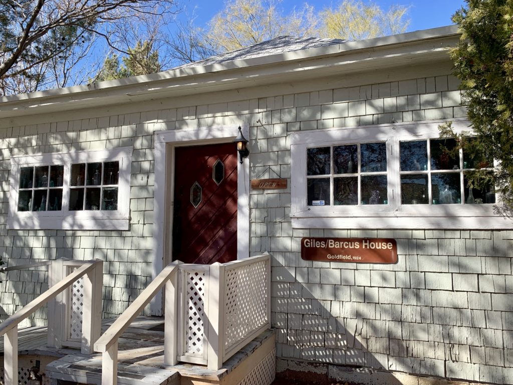
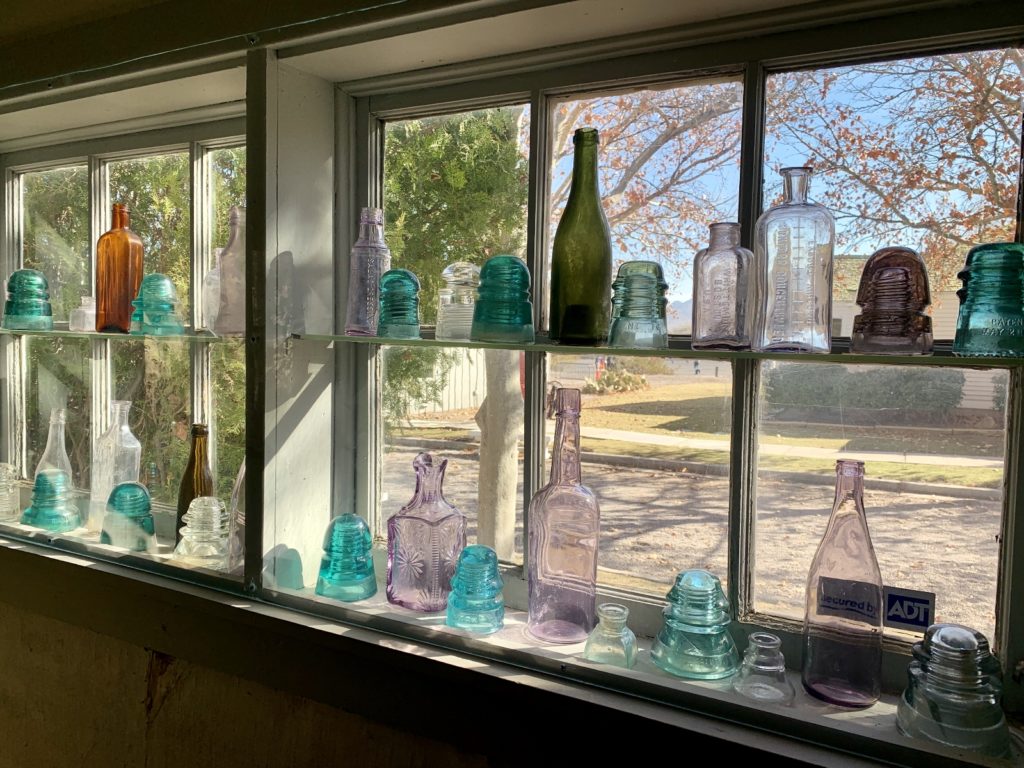
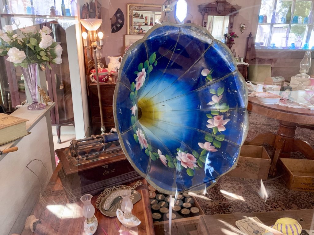
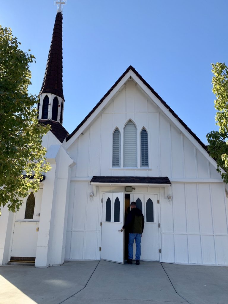
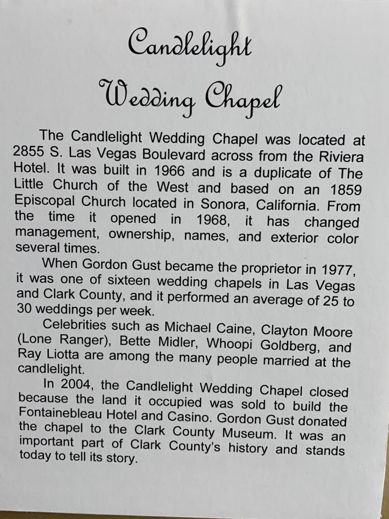
The Candle Light Chapel, once a fixture of the Las Vegas Strip, was a charming stop along Heritage Street.


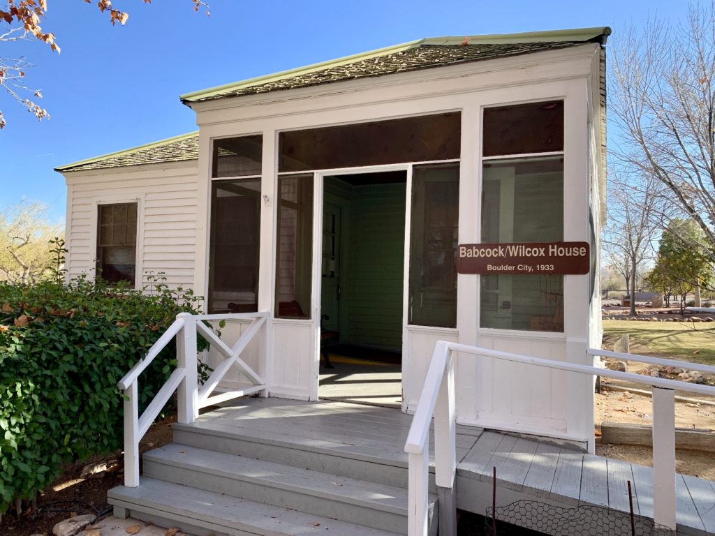
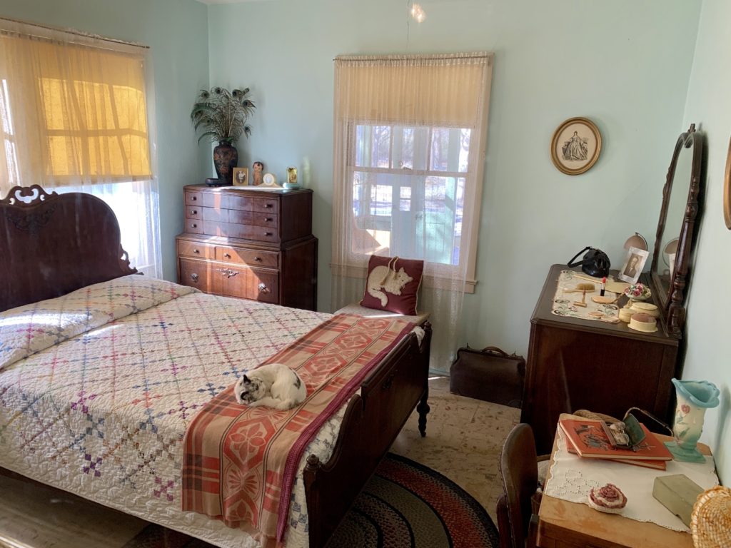
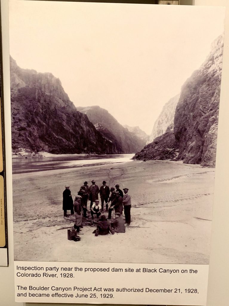
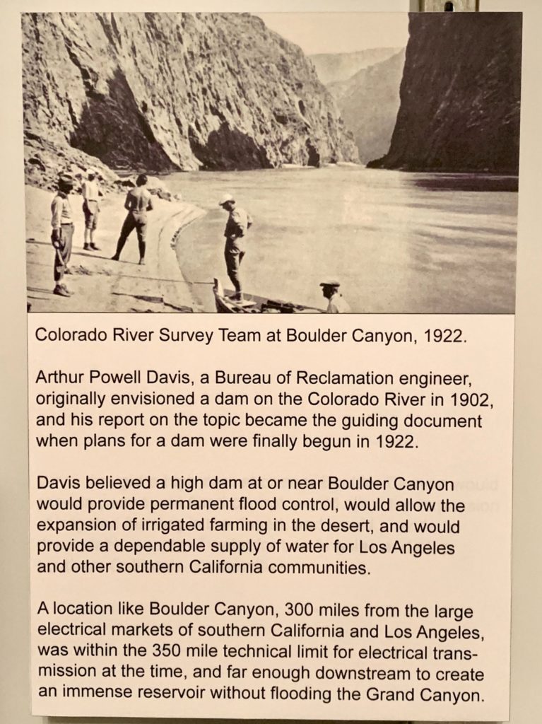
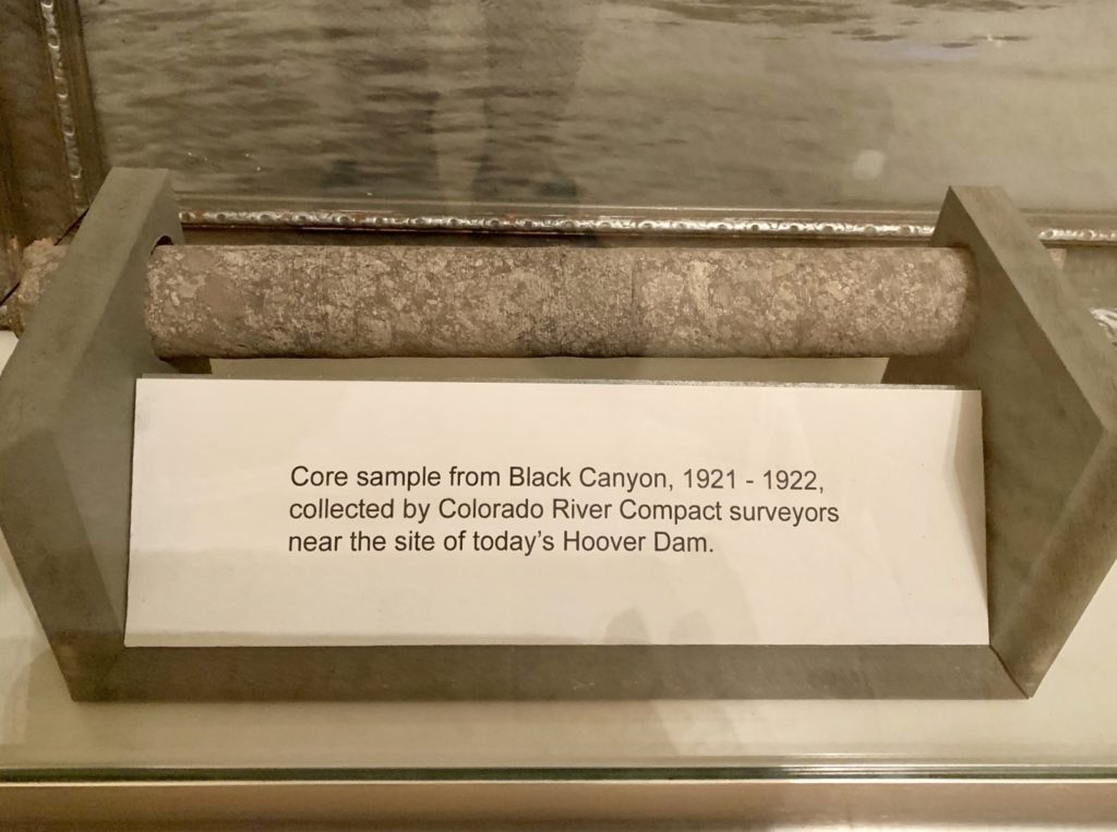
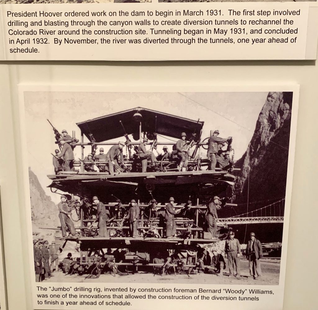
The Babcock/Wilcox House from Boulder City (1933) had a nice collection of Hoover Dam artifacts.
Our final stop was at the print shop where we learned about printing processes and the newspapers of early Nevada.
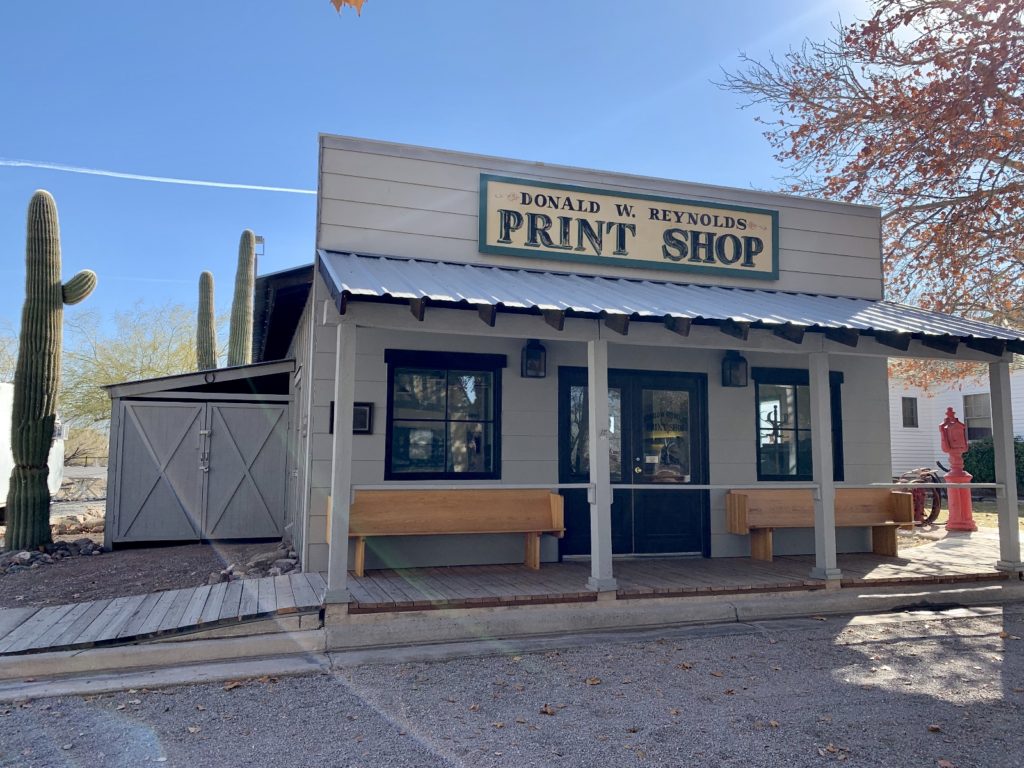
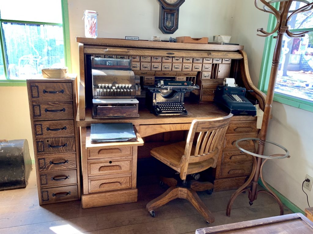
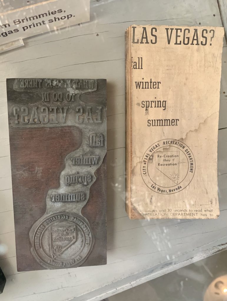
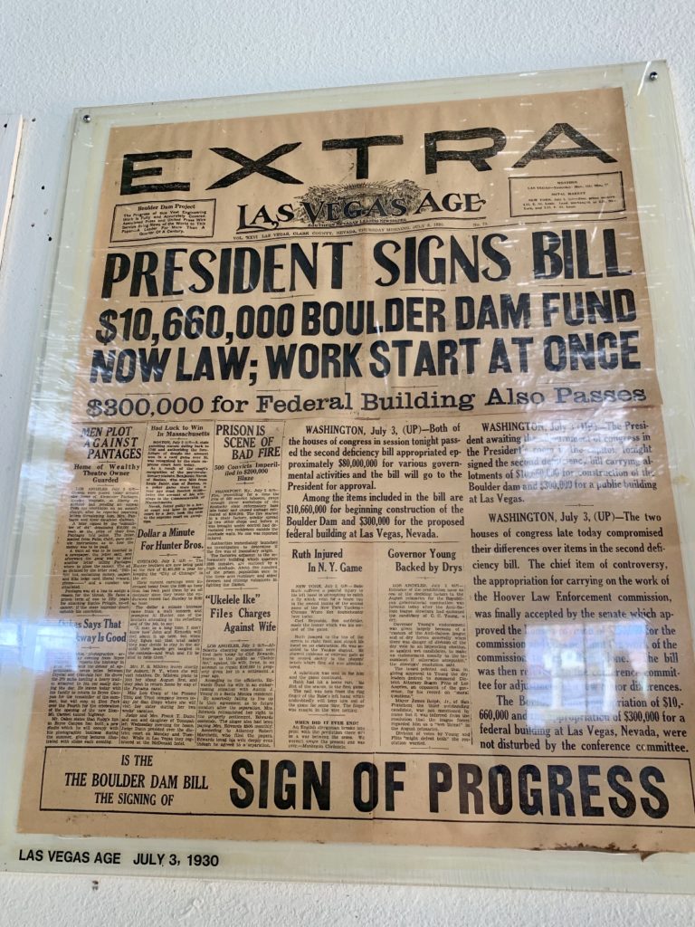
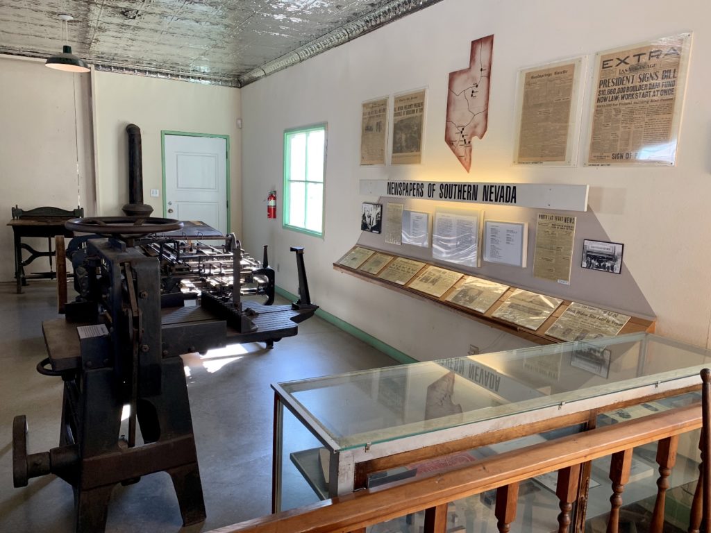
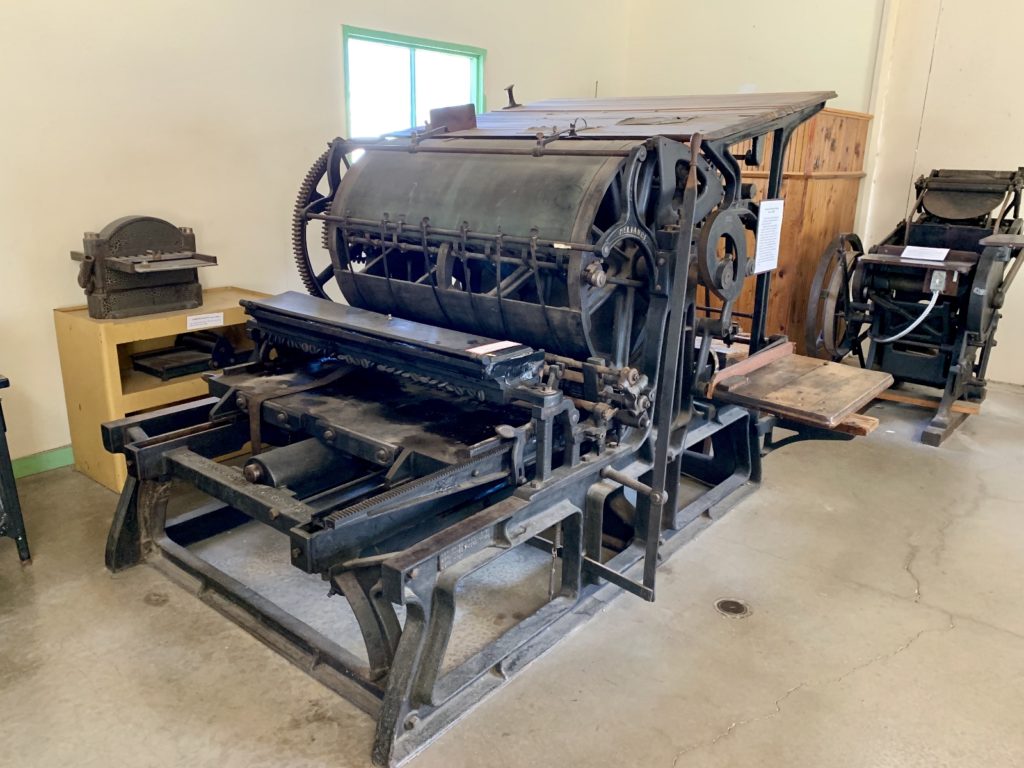
We really enjoyed our visit to Clark County Museum. The variety of indoor and outdoor exhibits sets it apart from the average museum and I think anyone can find something they’re interested in. The museum is open daily from 9 a.m. – 4:30 p.m. (closed Thanksgiving, Christmas, and New Year’s Day). Cost is just $2.00 for adults and $1.00 for seniors and children. If you are visiting Las Vegas, we highly recommend you take at least half a day to pay them a visit!
The Adventure Continues
Join us next time as we wrap up our first season of snowbird travels and begin our RV life makeover.
Your Support Helps!
Are you enjoying being part of our adventure? If so, please consider supporting this site by doing some of your online shopping here. We only post links to products that we use and that meet the Evans Outdoor Adventures seal of approval. By accessing Amazon through the links below and making any purchase, you get Amazon’s every day low pricing and they share a little with us. This helps us maintain Evans Outdoor Adventures and is much appreciated!
How do we find all these fun places? I do extensive research using a variety of online resources. I also go old school and use maps. Yeah, maps. Remember those things that we used before iPhones and Garmins? I’m a big fan of the Benchmark Road and Recreation Atlas series for the American West. They show incredible details including parks, tourist attractions, bodies of water, campgrounds, rest areas, etc.