Strenuous day hike through ruggedly beautiful country where Clint Eastwood filmed Pale Rider. At Boulder City visit a ghost town with mill and tramway.
Distance: 10.0 miles round trip (8.6-12.0 miles depending on starting location)
Type: out and back
Difficulty: difficult with 2,300′ elevation (start 6,900′ ft, top out 9,200′ ft)
Best Season: late summer – early fall
After day hiking to Marshall Lake while base camped near the old Sunbeam Dam site and three days of backpacking, we were ready for a shower and bed! We spent Wednesday night at Mountain Village Resort in Stanley, Idaho. Our hotel room was nothing fancy and the beds were standard fair, but it felt like a luxurious treat in comparison. Thursday morning we stepped outside and were greeted by a heavy frost and 21 degrees—brrrr! There wasn’t a cloud in the sky so at least things would warm up quickly.
First order of business was coffee. We found an espresso stand just down from our hotel. The woman working it was all bundled up and didn’t seem at all bothered by the below freezing temperatures. She was getting ready to spend the winter climbing in Spain and riding bikes through South America. I admired her free spirit. She made a delicious cup of chocolate huckleberry coffee, just what these two hikers needed to start a long hike on a cold morning.
We headed south out of Stanley along Idaho 75. Our destination for the day was Boulder Basin & City in the Boulder Mountains just north of Ketchum. We drove south until we found a pull out in full sun with great view of the Sawtooths. We had our breakfast there before continuing south.
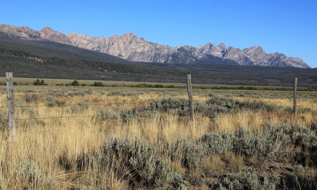
Idaho 75 between Stanley and Ketchum is a stunning drive—first along the Salmon River with the Sawtooths towering to your right, then you climb Galena Pass which has sweeping views to the west and north. Deer and antelope can be spotted grazing in the grasses and sage brush.
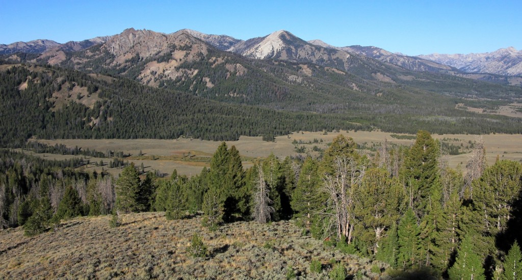
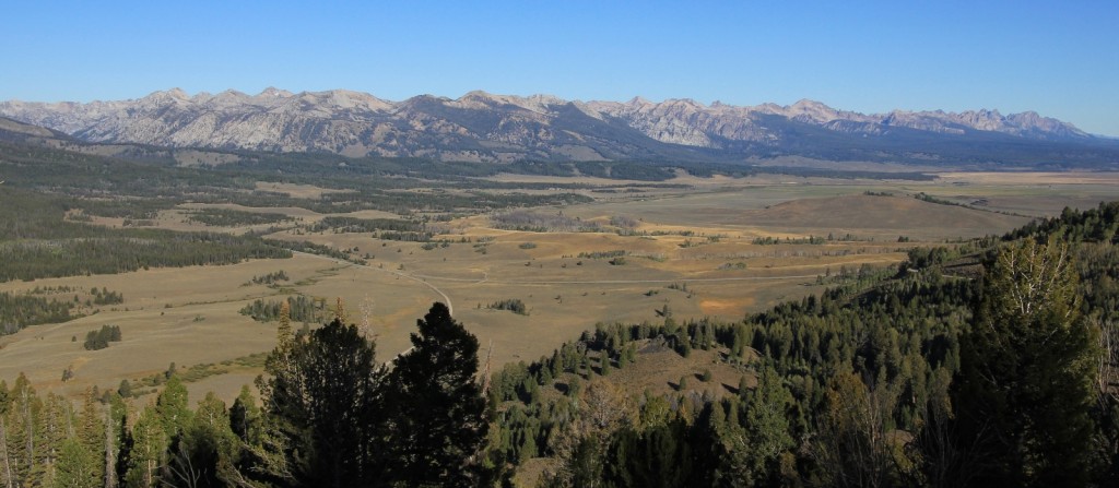
On the other side of the Galena Pass, we started watching for Boulder Creek Road. I knew the approximate location and was pretty sure I found the correct road, but it was not signed. Since the Sawtooth National Recreation Area Visitor Center out of Ketchum was just 4 miles away, we headed there to confirm the road and check on trail conditions. The woman working the desk there was very helpful. She confirmed we had the right road and that it is normally signed. We were also politely warned to respect any private property signs we encountered while at the old cabins around Boulder Basin. It seems the owner does not take kindly to trespassers— totally understandable and not a problem for us.
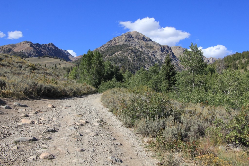
We backtracked toward Stanley a few miles and turned right onto unsigned Boulder Creek Road. This road quickly deteriorates to an extremely rocky surface and it was very slow going, even in our truck. We bounced along for one mile before deciding it would be more enjoyable to continue on foot and enjoy the stunning scenery.
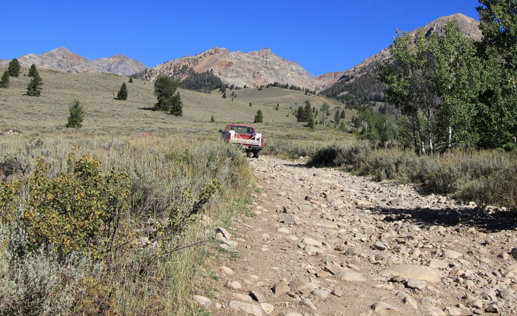
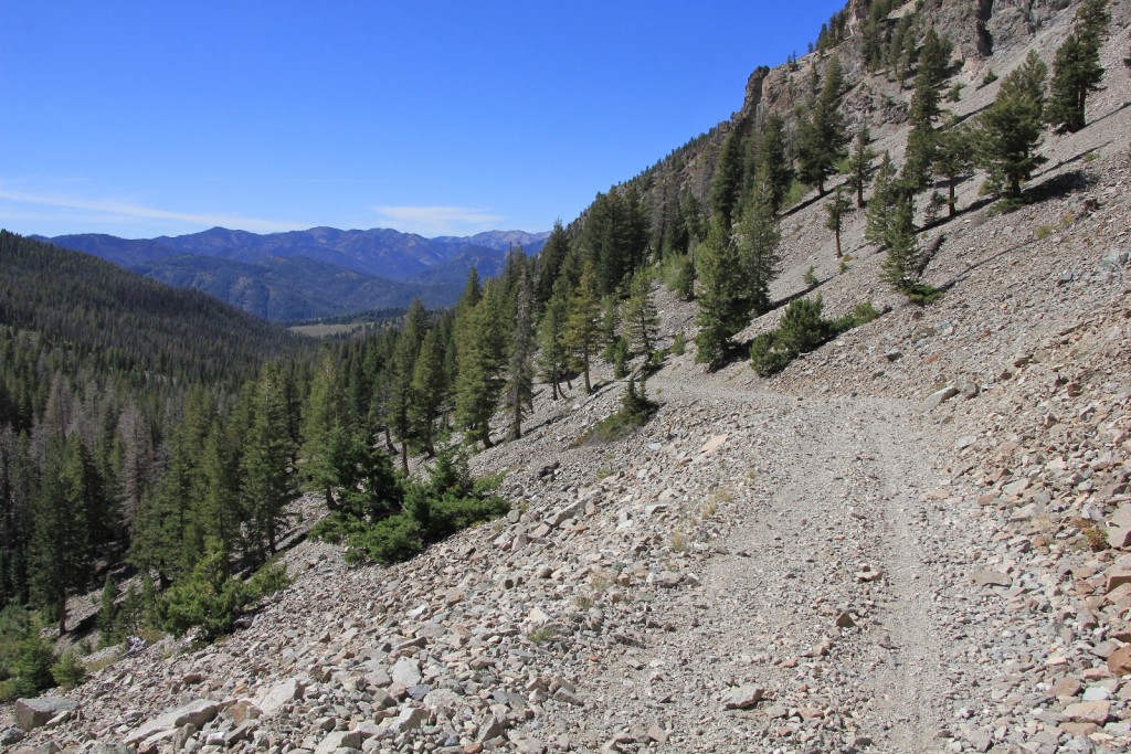
Technically, this entire route follows an old jeep road. The route is single lane and extremely rocky with no place to pull over and extreme exposure in many spots. Additionally, the upper stretch of the road has a stream running down it. The road is open to motorized vehicles and adventurous (dare I say crazy?) individuals do still drive here. We have both a Jeep Wrangler and an ATV, but in our humble opinion this is best done as a hike. We would not see any vehicles during our visit and only encountered one woman hiker (with 9 dogs!) on the lower stretch of the trail.
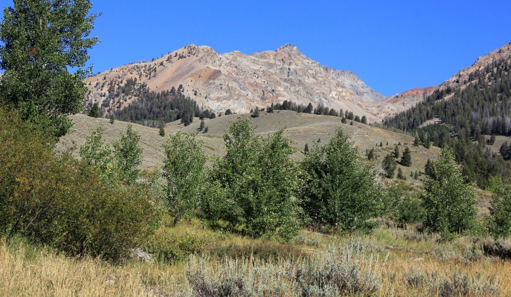
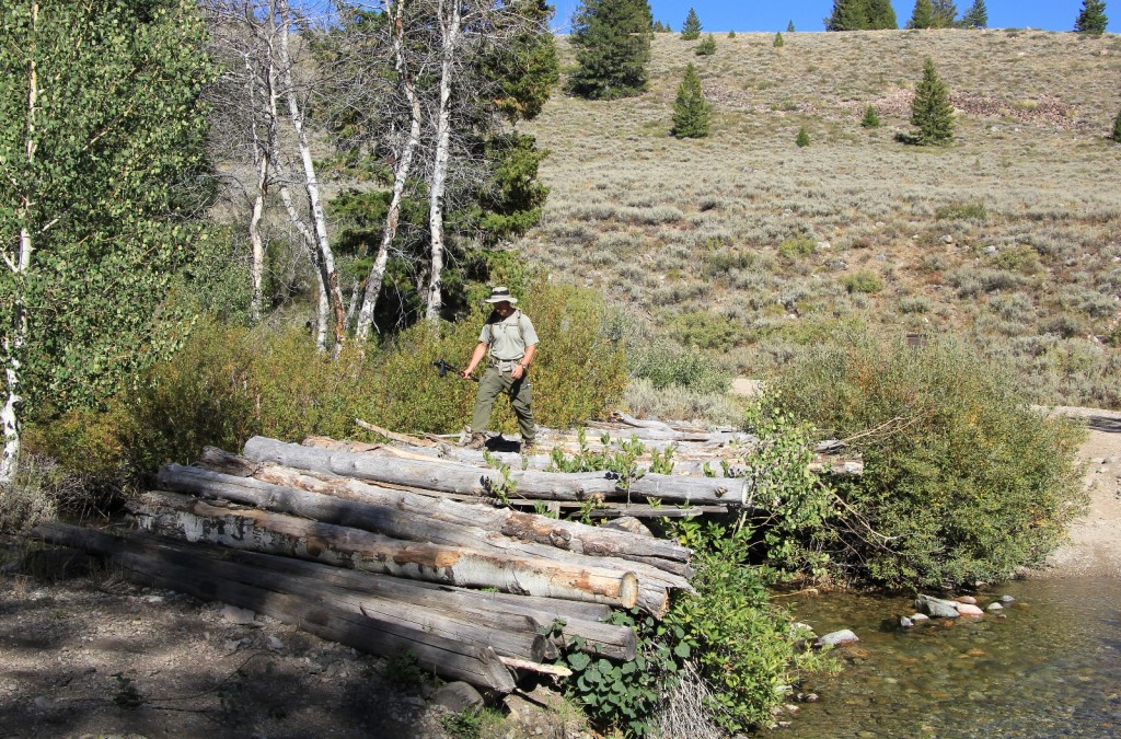
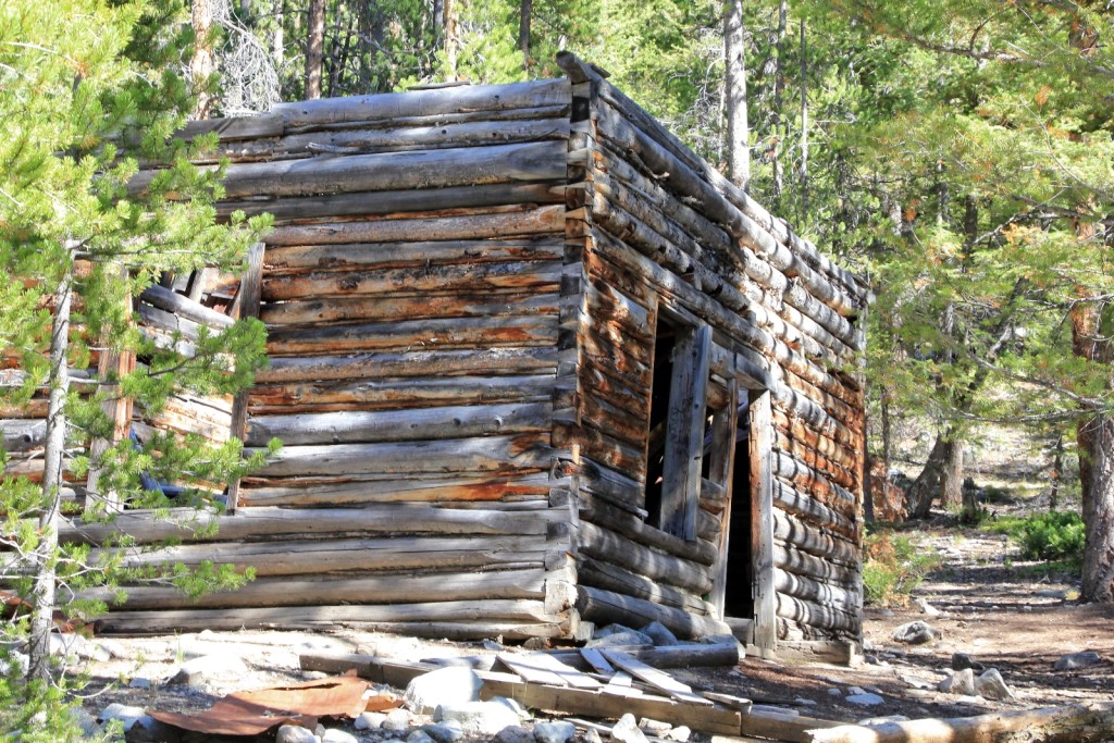
We started hiking north with stunning views of Boulder Peak (elevation 10,981′) in front of us. After 0.5 miles we came to the first ford of Boulder Creek where a very rustic looking old bridge remained. We signed the trail register here and continued through sage brush and forest past abandoned cabins to the second stream crossing 1.4 miles from the first.
After the second ford, the road began to climb and became even rockier.
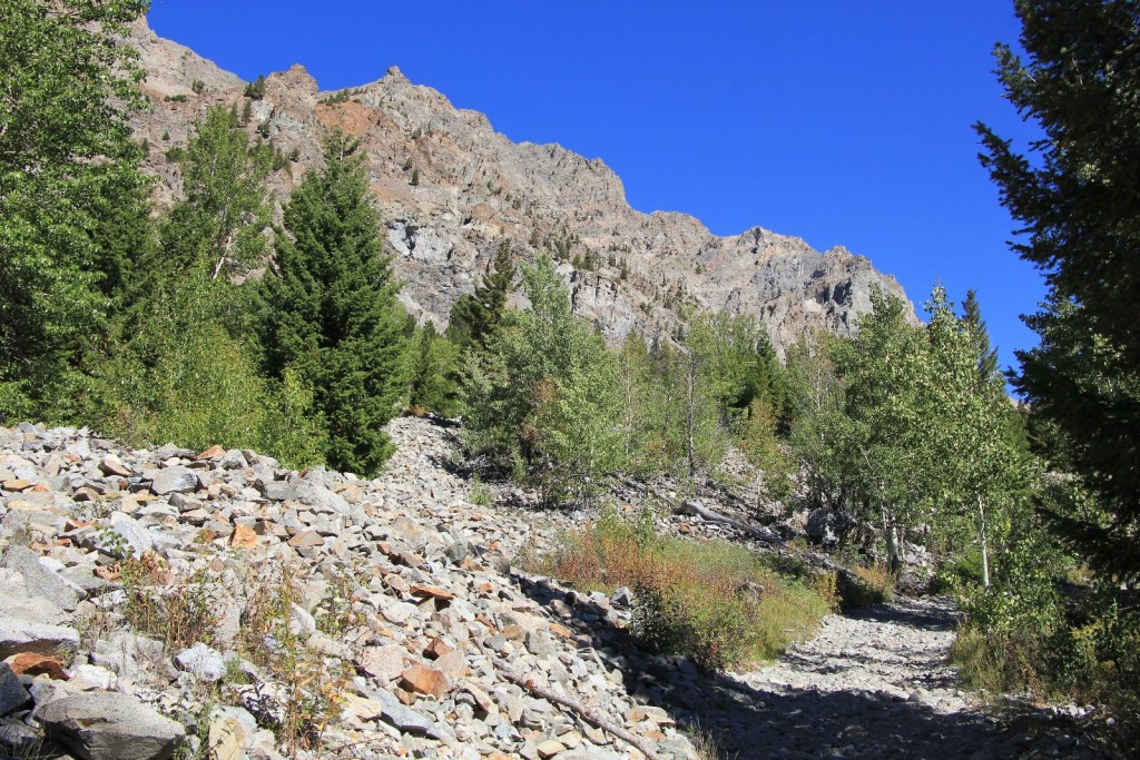
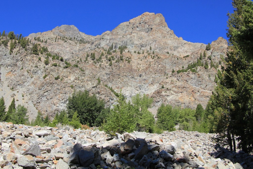
Soon we came to a long ascent beside a very rocky slope. The scenery quickly opened up and we had incredible views the rest of the climb.
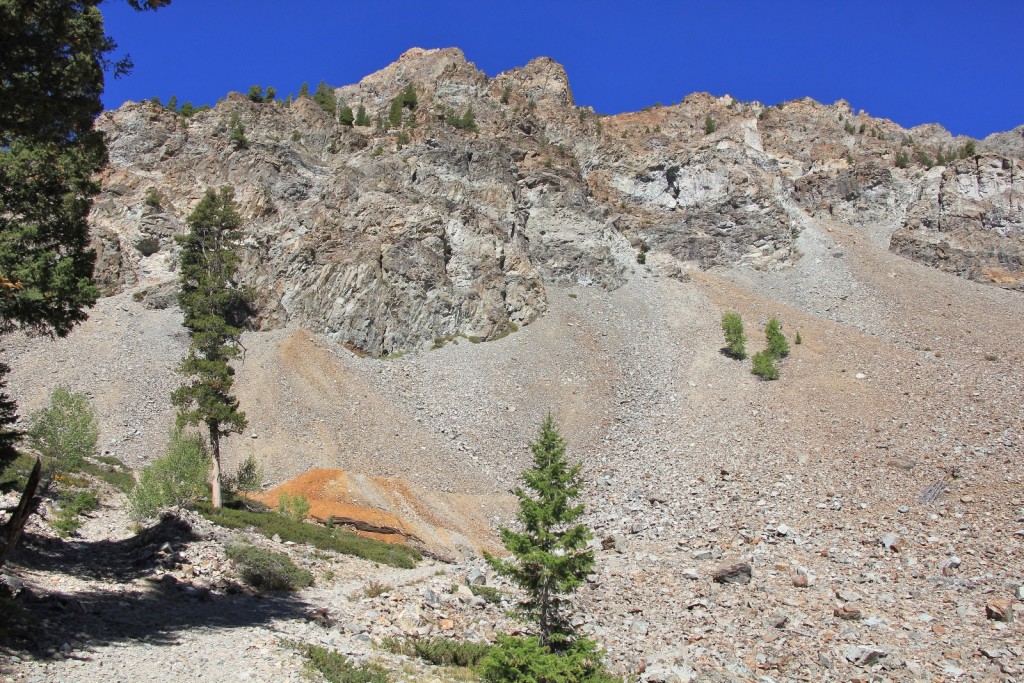
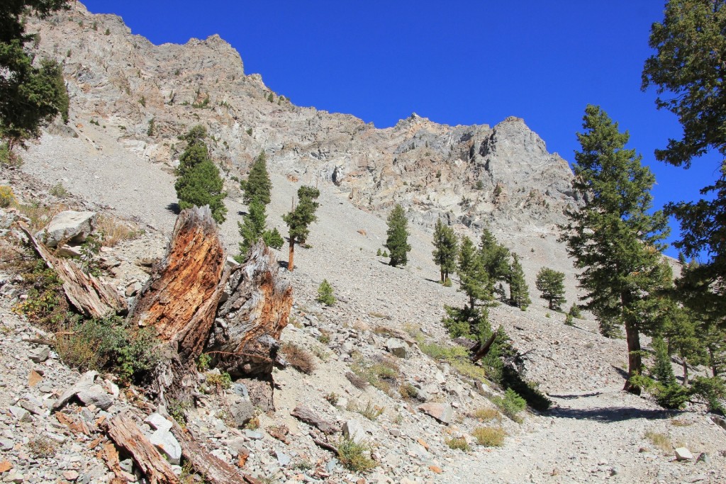
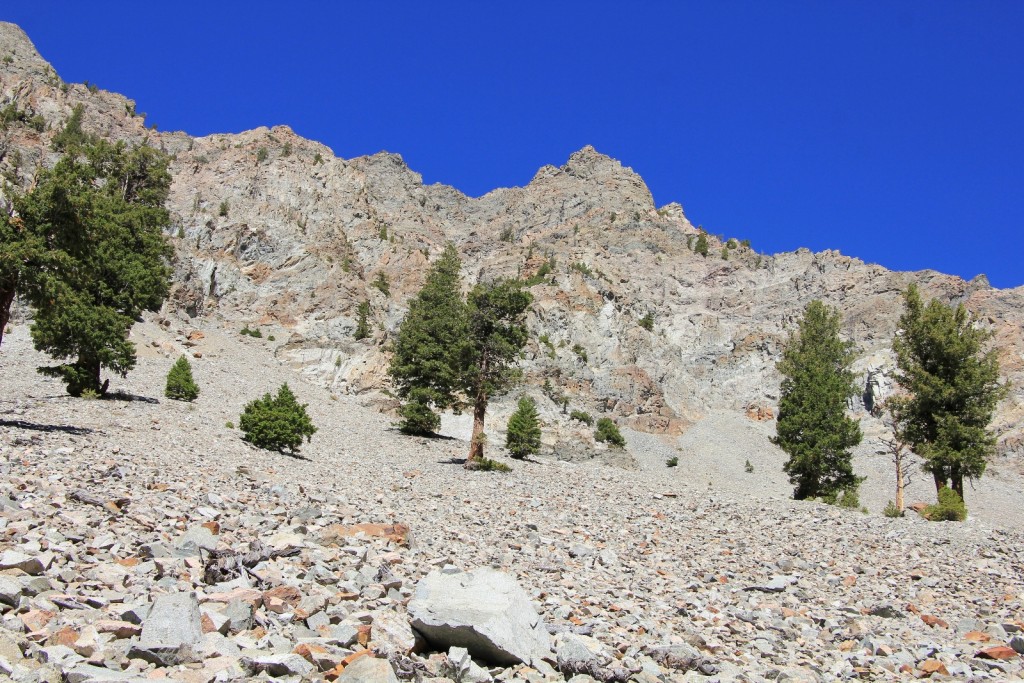
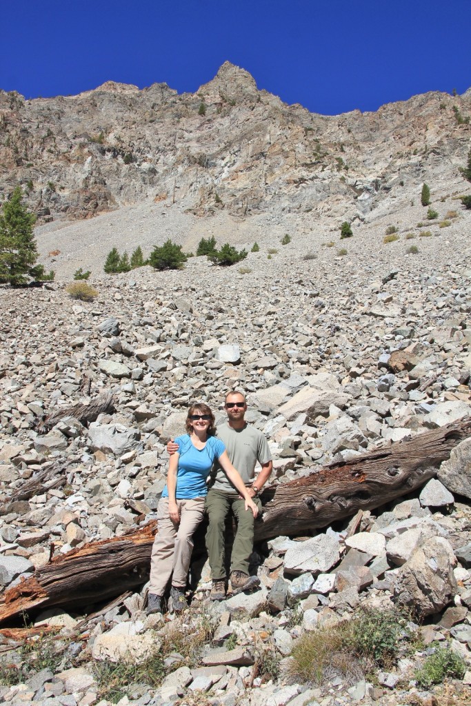
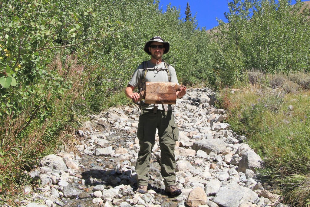
As we climbed, we noticed a trickle of water coming down the road. Soon enough the trickle had increased to a solid stream making the road appear more like a creek bed. At one point, we came upon a muffler sitting in the middle of the extremely rocky road, no doubt from some unfortunate 4WD vehicle that had been pushed just a couple feet too far.
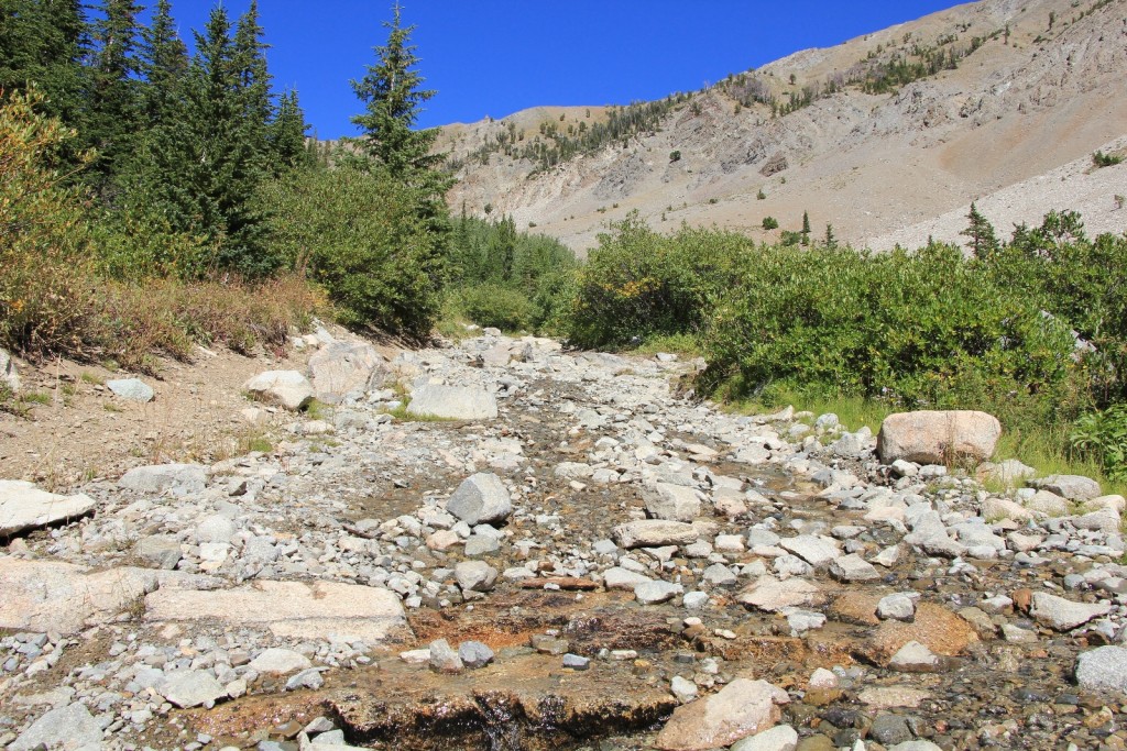
After close to a couple miles of climbing we topped out and entered beautiful Boulder Basin. Here, the trail turned to dirt surface and we had easy hiking for the first time all day. Views of the surrounding peaks were magnificent.
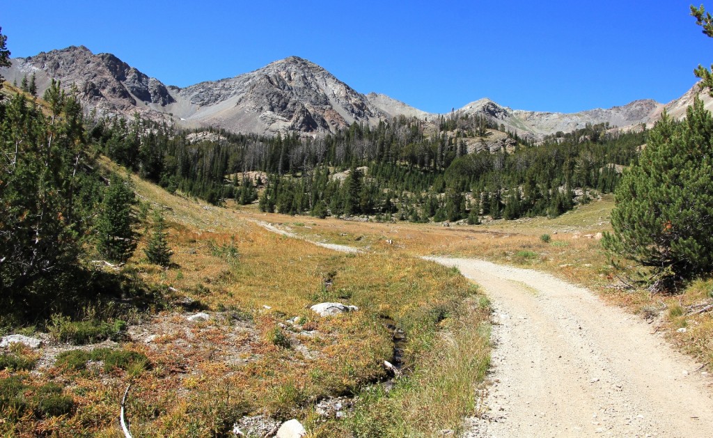
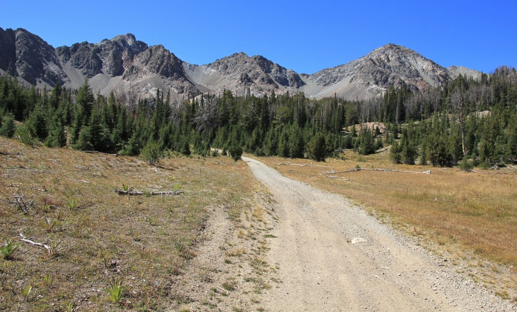
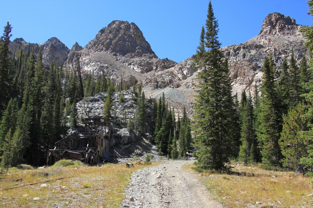
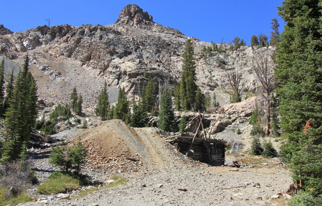
It was a pleasant hike the rest of the way to Boulder City at 9,200’ elevation where we found the remains of several old cabins, mine, and tramway snuggled right up against the cliff walls. We had the place all to ourselves. It was fun to imagine what life must have been like in this rugged country. Winters would have been severe at this elevation, yet the miners and residents remained year round. The only thing that broke the silence was the “eek” of pikas as they scurried about preparing for the long winter ahead.
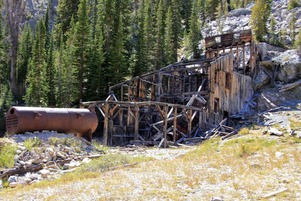
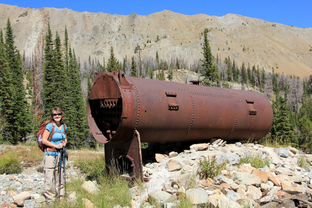
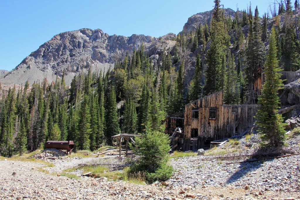
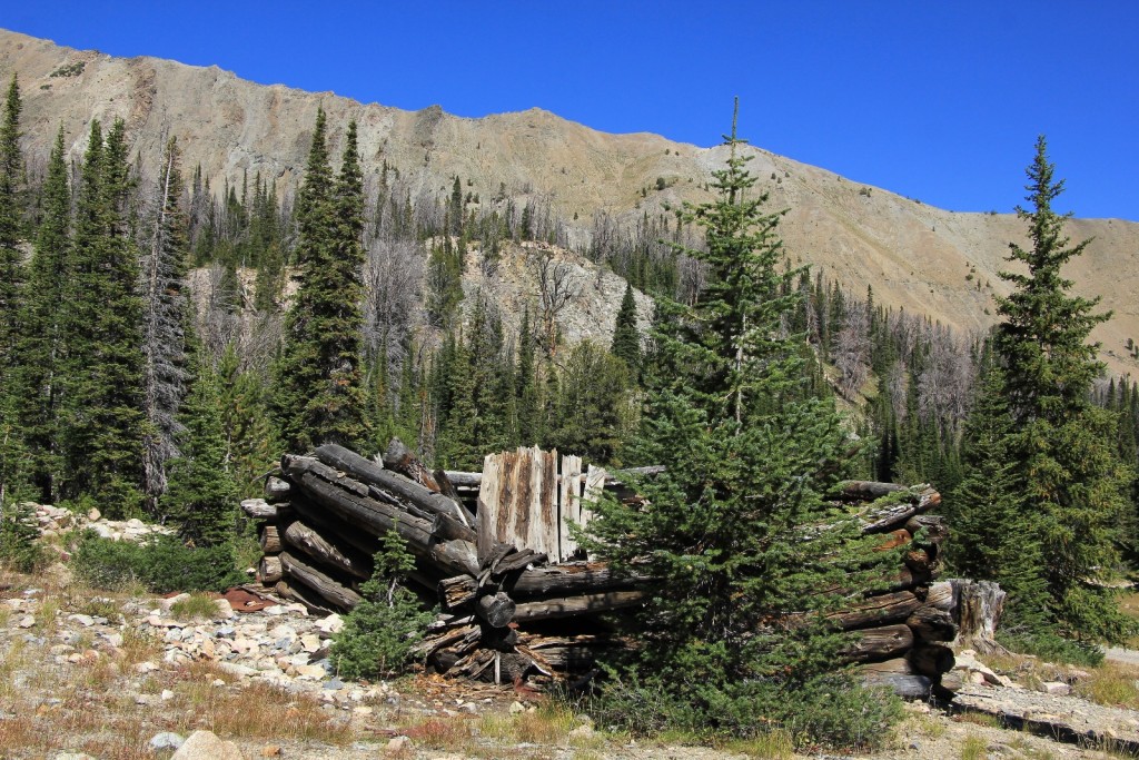
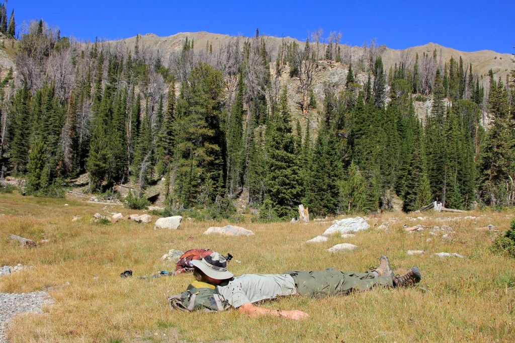
We feared that the hike down would be a real death march between the elevation loss, rocky trail, and stream like sections. Fortunately, we were pleasantly surprised and the descent went really well. We used trekking poles and were very careful about our foot placement, but the footing was surprisingly good.
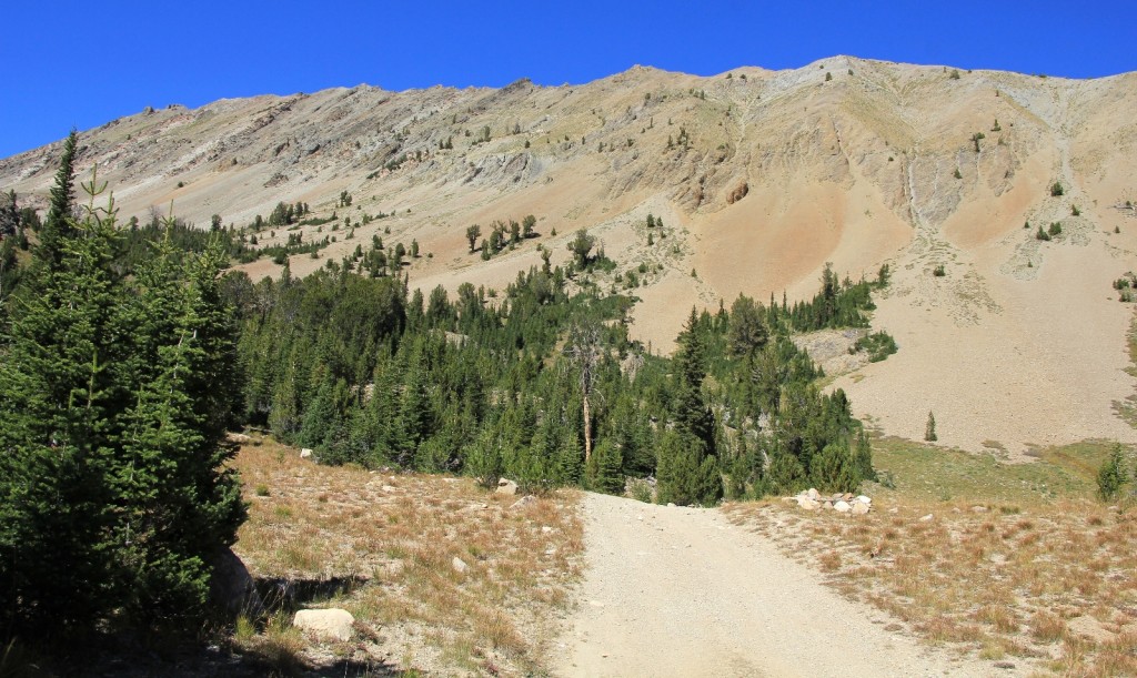
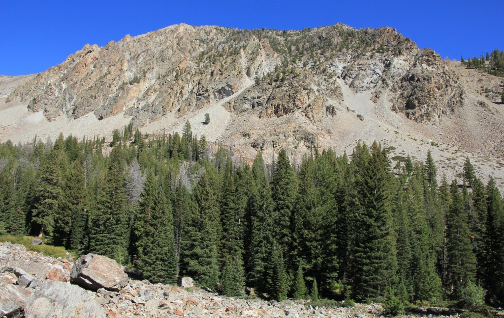
It was a lovely hike back with sunny conditions and a temperature in the low 60s—a perfect day on the trail. Our total for the day was 10.0 miles with 2,300’ elevation gain. Those willing to bounce along further in their vehicles could decrease that mileage.
On the drive back to Stanley, we stopped at Smiley Creek Lodge in the tiny town of Sawtooth City. The charming lodge had a fine view of the Sawtooths and was decorated cute inside. The menu had typical fare of burgers and such plus a few nicer looking dinners including pork chops and salmon. I had the salmon which was about the best I’d ever had. Jason had the pork chops which he said were flavorful, but on the dry side. We had an adorable young woman as our waitress who provided exceptional service.
We were down to one day of hiking left. The next day we’d head up to the Bench Lakes off Redfish Lake— a nice little goodbye hike to end a wonderful vacation.
Directions to trailhead: From Ketchum, drive north on Idaho 75 12.2 miles and turn right onto Boulder Creek Road. This road is extremely rocky. Passenger cars will not proceed far making for a 12 mile round trip hike. Those with high clearance vehicles can drive to the first ford making for a 8.6 mile round trip hike.
I am writing a book about abandoned places in Idaho. Would it be possible to have your permission to include some of your photos of Boulder City in the book?
Hello Howard,
I’d be honored. And I’d be very interested in reading your book. Would you be interested in trading use of unlimited photos for a signed copy of your book?
Lusha
Yes, absolutely.
This is a long-term project so the book will probably not be published until 2024. You will get credit for the photos and a signed copy of the book.
Do you have any additional photos of Boulder city or the mine that are not posted on your blog?
Howard
I know I have more photos, just can’t remember details. I’ll get out my old drive and look those up then email you at your gmail address.
Looking forward to your book whenever it publishes. I love anything Northwest themed with lots of photos (especially locations off the beaten path).
Lusha
I just submitted the manuscript of the Abandoned Mines of Eastern Idaho book to the publisher. You got credit for your photos of the Boulder Basin mine. The book is scheduled to be published in April. I do not know why it takes them so long, but they are in control of the process. As soon as I get my copies I will mail a signed copy to you.
Congratulations Howard, that is quite the accomplishment! Thank you for the update and I look forward too seeing your book.
Lusha