Lovely wetland hike with solitude yet just minutes away from the Spokane metropolis
Distance: 6.0 miles (shorter options available)
Type: out and back
Difficulty: easy trail with good tread
Best season: May for the wildflowers. Accessible most of the year (may be snow covered in winter).
Note: the wetland restoration project here was so successful that the NW portion of the original loop trail is flooded and is closed until a long-term solution is worked out.
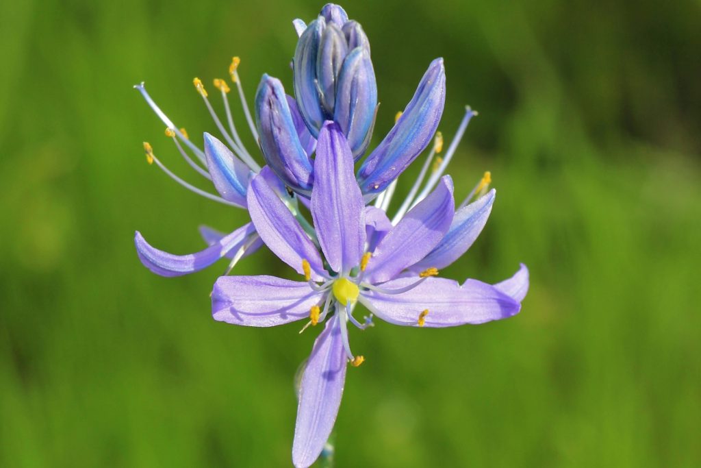
The network of trails at James T. Slavin Conservation Area just south of Spokane had been on my bucket list for a couple years. Despite its easy access and close proximity, it doesn’t seem to be a well known area. None of my outdoor loving local friends had even heard of Slavin. The area looked interesting enough, but we had passed it up time and again for longer mileage hikes or those we thought looked more interesting. What a mistake that was! The Slavin Conservation Area is an Eastern Washington gem.
The Inland Northwest has been in an exceptionally wet weather pattern for over seven months now. As we’ve worked our way well into spring, the moisture has continued and we’ve had below normal temperatures. We need the moisture, but it seems like our few sunny days fall during the week while we’re stuck at work glued to a computer. The working man’s curse… Each week I watch the forecast and try to find the nicest weather for a weekend hike. This weekend, the entire Inland Northwest looked stormy except Saturday morning in the Spokane area. We’d have half a day to take in a short hike—a perfect time to try Slavin.

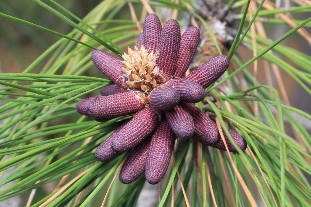
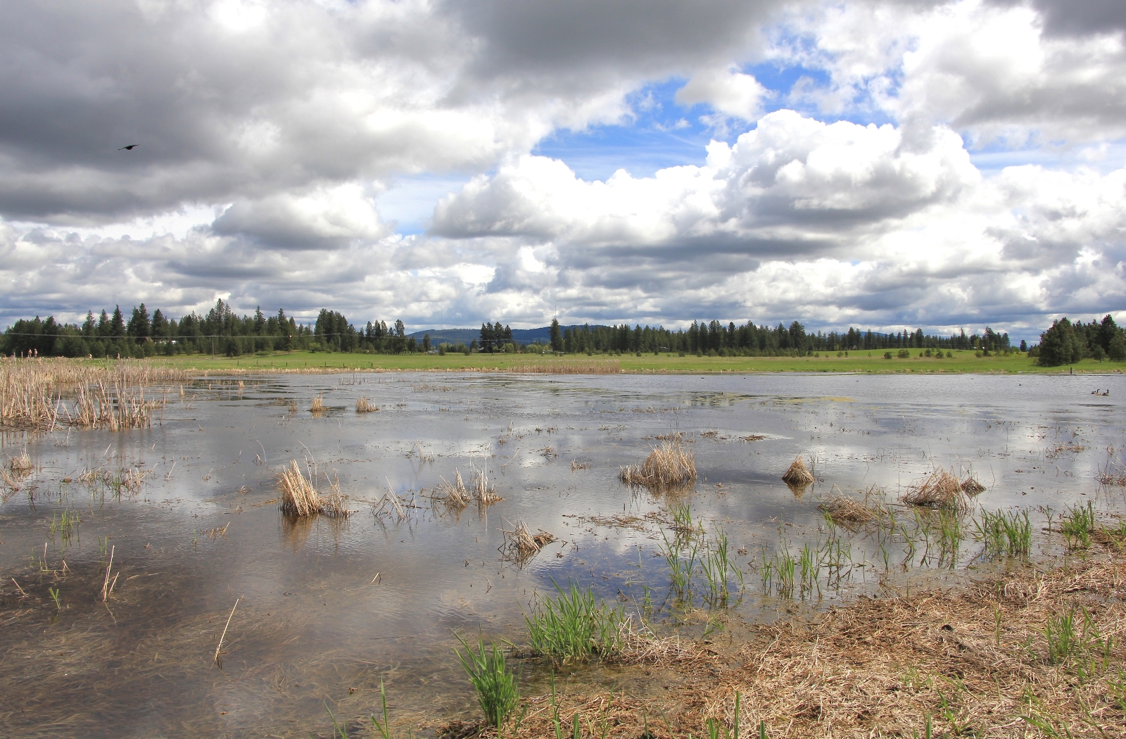
According to the Spokane County website, this 628 acre parcel of land in the Rosa Butte area was acquired by Spokane County Parks in 2000. A majority of the property exhibits permanent wetlands that have been restored and are a haven for waterfowl, songbirds, and many large mammals. Aspen groves, wet meadows, upland ponderosa pine forest, and permanent ponds create a varied landscape that supports spectacular diversity of wildlife and plants.
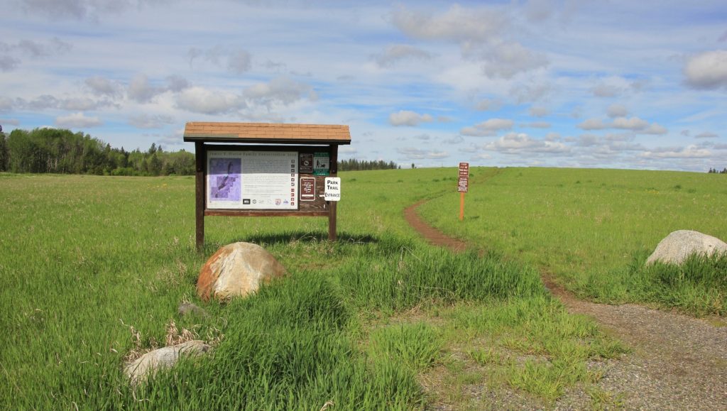
There is a good map of the area on the website. I highly recommend having this in hand for your first visit to Slavin. There are several trail junctions that could be confusing if you aren’t paying careful attention. Once on the trail, you will find a few side trails that are not indicated on the map. We took a couple of those and in our experience they all loop back together sooner or later.

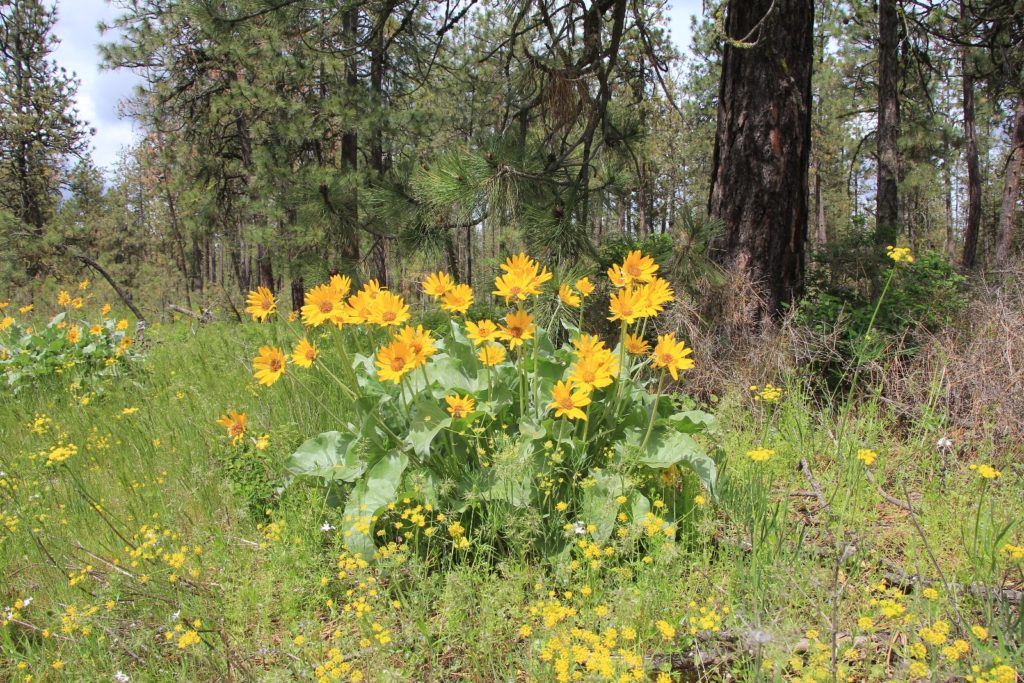
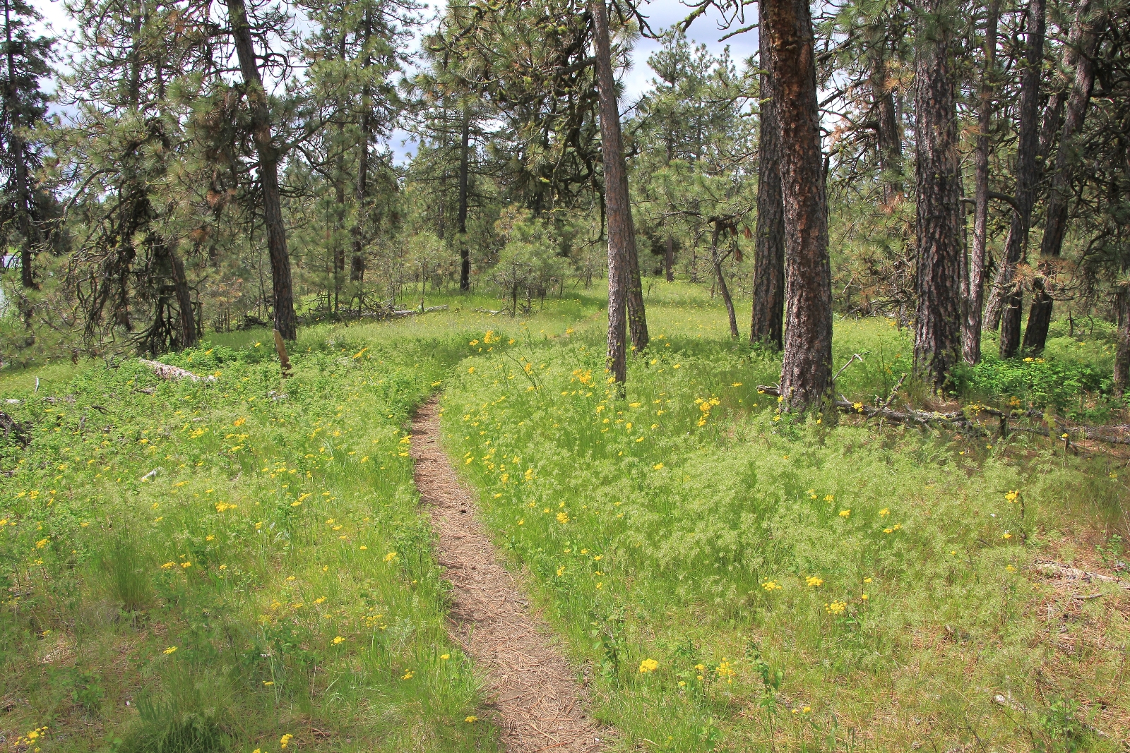
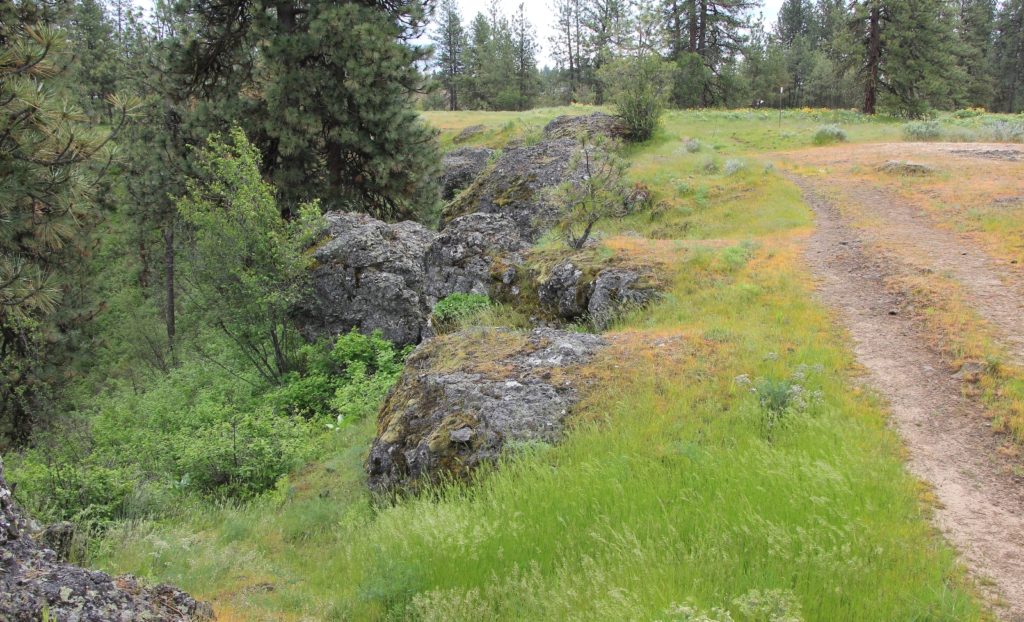
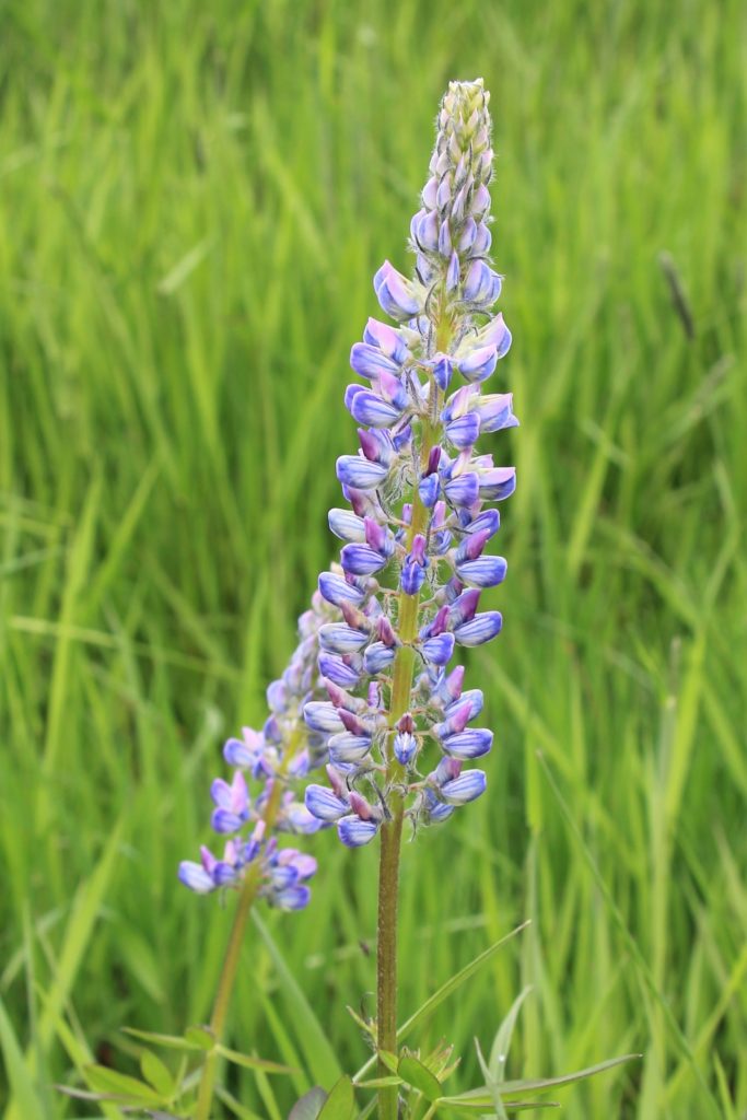
From the trailhead we headed across an open meadow and then toward an area of aspens and ponderosa pine. It wasn’t long before we were surrounded by wildflowers. At approximately half a mile in we came to Diamond Lane, an old access road. Here we turned right toward Slavin Lake.
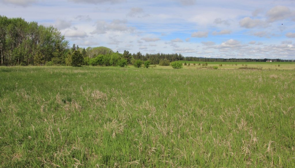
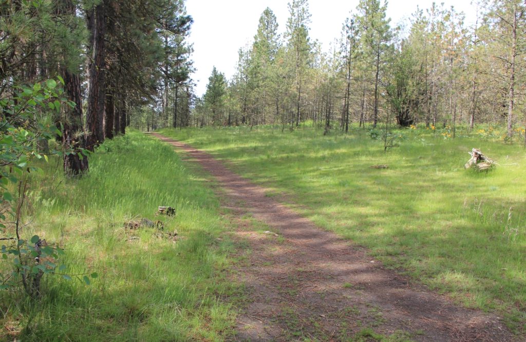
Reaching Slavin Lake, we spent a little time working our way north along a knoll that provided nice views down onto the lake. Waterfowl thrive here and the area was alive with their happy songs. We then backtracked and caught the trail along the southern half of the lake.

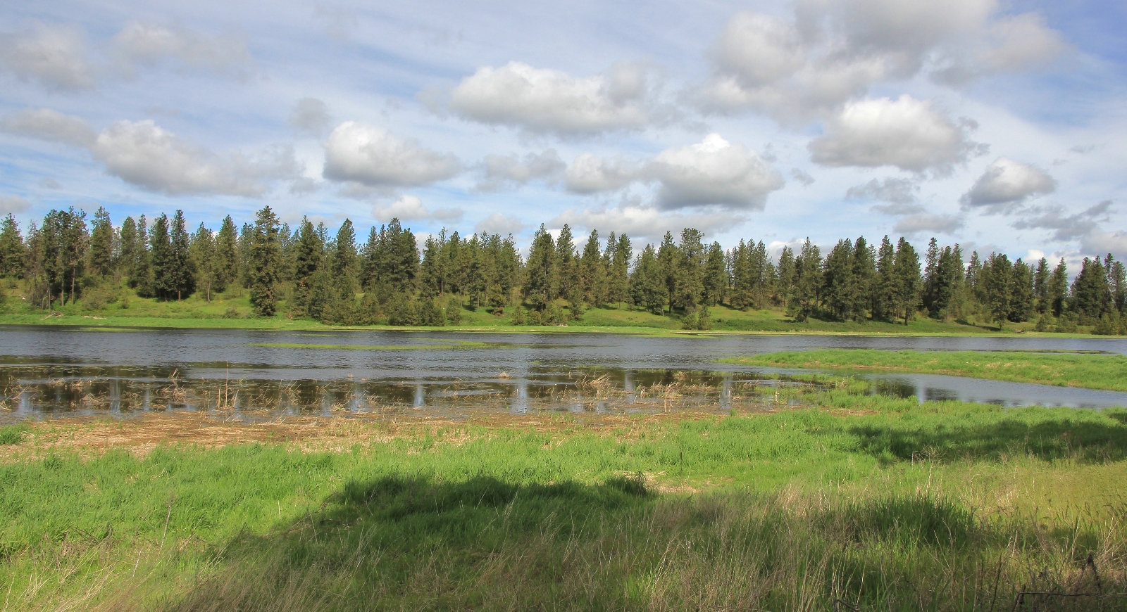
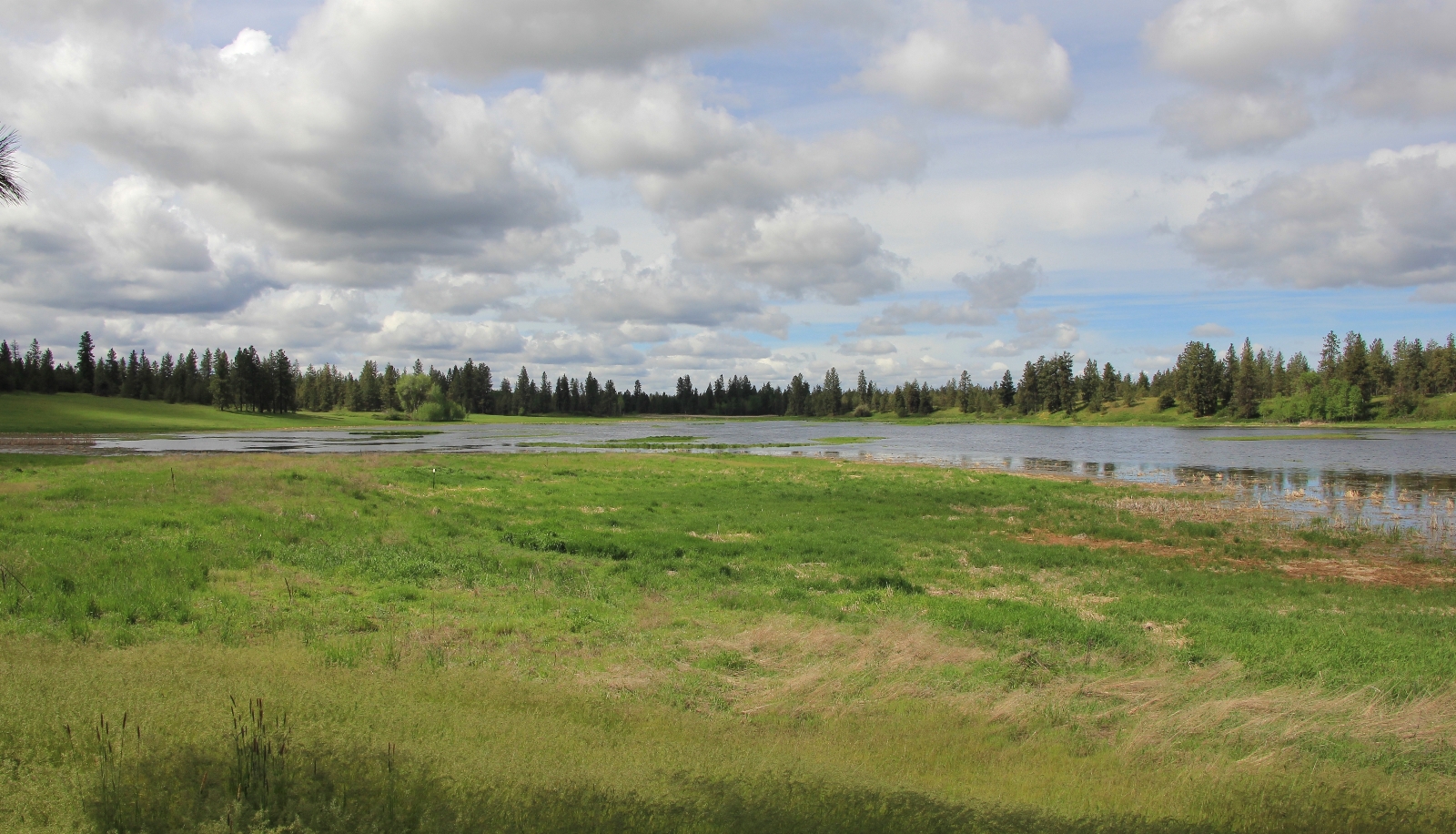
At the southern tip of the lake, we turned right off the main trail and followed a muddy track that kept us closer to the water. If you plan to continue to the west side of the lake, I highly recommend following that section for the best views. After a short distance, we looped back in with the main trail and crossed a dike between two smaller ponds.


Once across the dike, we turned north and followed the trail along the western side of Slavin Lake. This section of the trail is set up from the lake a little higher and the views are beautiful. While we had seen a few people on the east side of the lake, we didn’t see anyone while on the western side. My guess is that fewer people go this far.
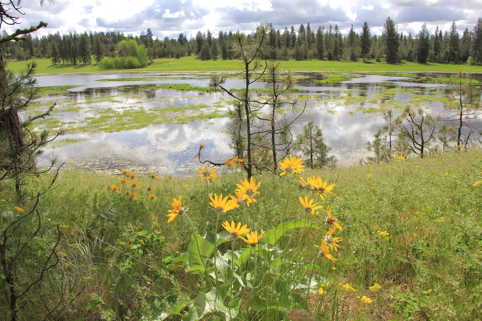
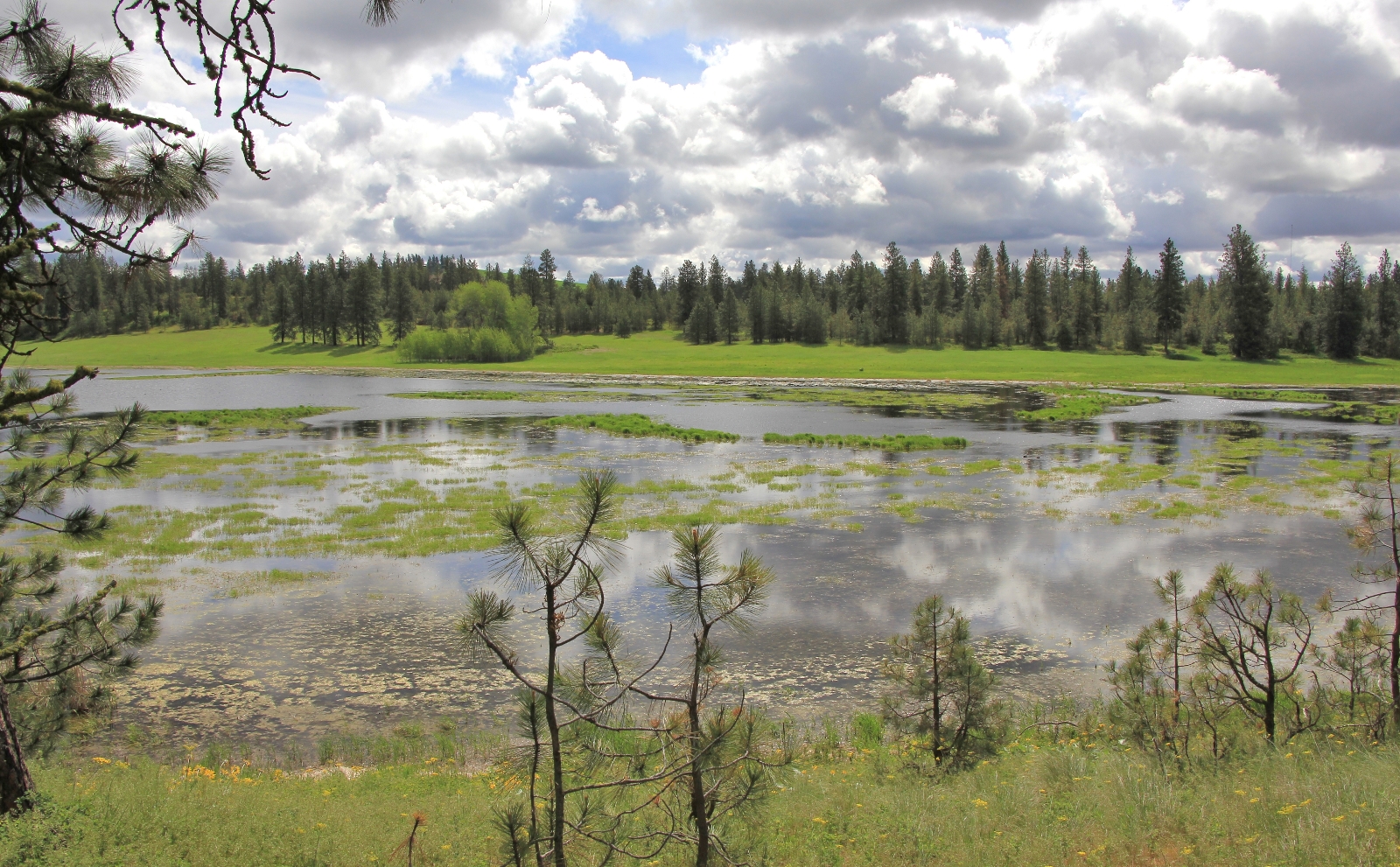
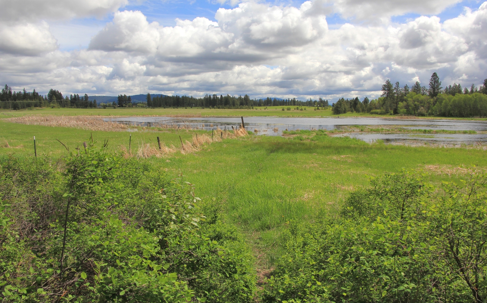
It was quite obvious when we reached the section of trail that is closed due to flooding. The trail lead down to the lake and ended. We would have loved to continued on (who cares if you get wet?) but we did not want to disturb the fragile wetlands nor be disrespectful of the regulations. The land on the far side of the fence is private property and posted as no trespassing.
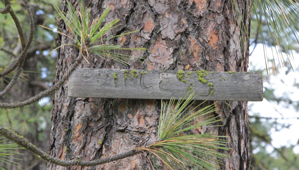
Once back on the east side of Slavin Lake, we took the trails to the right which led us up to higher ground. Here we found the pet cemetery that was referred to in our guidebook. We were able to locate 15 signs honoring pets that the Slavin family buried here in the 1900s. We wouldn’t be at all surprised if there were more that we didn’t find.

From the pet cemetery, we dropped back down to Diamond Lane and toward our car. At just half a mile to go, it began to hail on us—we had timed the weather near perfect.
Back at the trailhead, there were only two other vehicles in addition to ours. At one of the vehicles, a couple was loading their dog up when I heard, “there’s a tick! And another on your seat!” We had each already found one tick on our pants. Another couple pulled up next to us and got out with their lab puppy. “Watch out for ticks,” I told them. “Oh we had him treated so he’ll be ok,” the woman said. “Sounds like he’ll be better off than you!” I replied back. This was the second weekend in a row we had gotten into ticks—tis the season.

We were both very pleasantly surprised by the hiking at Slavin. The wetlands were beautiful and the trails in great condition aside from a few muddy and flooded areas from the wet spring. We had only seen a handful of people and enjoyed a relatively pleasant morning considering the weather forecast. We will definitely hit Slavin up again and I’m recommending it to several friends.
We finished the trip with a sandwich and milkshake at The Harvester Restaurant in Spangle. This is a charming small town restaurant with lots of neat signs and decorations inside, a huge menu, extremely friendly service, and good food. Oh, and their milkshakes go down pretty easy after a hike!
Directions to trailhead: From I-90 in western Spokane, WA take exit 279 U.S. 195 south to Pullman. Travel approximately 8.4 miles and turn right onto Washington Road. In approximately half a mile, come to a T intersection with Keeney Road. Turn right onto Keeney and the large parking lot is immediately on the left. A Discover Pass is not needed to park here. Privy available. Dogs are allowed, but must be kept on leash.
Well done Lusha, we hope to take this hike on Friday weather permitting.
Thank you Rich. I hope you enjoy 🙂
Very nice Lusha . Sometimes the close ones we tend to overlook thinking they haven’t much to offer . It’s nice to find that they have many things that make for a good hike . The flowers are always a Spring time thing here in the valley and the heavy snow fall in the mountains here will be holding us back a little this year .
Thanks Rich – yes, it is going to be a late start in the high country this year. Our favorite Memorial Day spot is still buried in snow!
Just got back from the mountains tonight and we found heavy snow still hanging on the northern exposers at 4100′ and it turned us back . Should have brought the snowshoes , so will have to wait another three weeks before going back .
Hi Rich- Lots of lingering snow at the mid-elevations here too. We start to get a good melt and then the temps cool down again. Sunday afternoon it was 50 and raining in Pullman. Late year in the high country!
Enjoyed your photos, the information and the maps. The land was owned by the Hartmeier family from 1890 until 1965 when the Slavin’s purchased it.
Thank you Karen!