Kartchner Caverns State Park in southeast Arizona had served as the perfect basecamp for exploring the area’s state and federal parks. The twelve nights we spent there gave us just enough time to scratch the surface of what this far corner of the state has to offer. We could have easily stayed longer, but it was almost time for us to move west to Tucson. But before we left, we wanted to do at least one hike in the Dragoon Mountains near Tombstone.

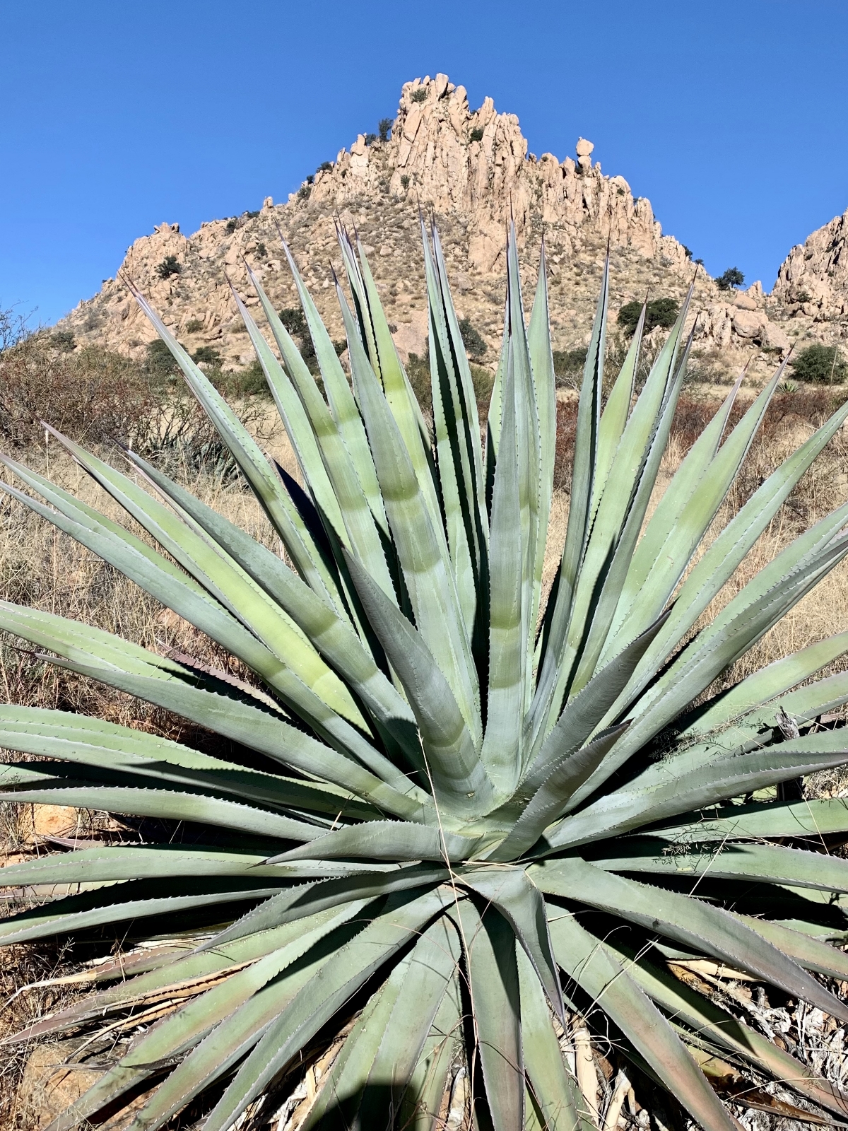
The Dragoon Mountains are one of the many Sky Islands that characterize southeastern Arizona. Sky Islands are isolated mountain ranges that rise suddenly above the surrounding desert floor. In most cases, the elevation change is rapid and extreme (as much as 6,000 feet) which creates opportunities for incredible plant diversity in just a few miles. The Dragoons are a small range at just 25 miles long. What they lack in size, they make up for in rugged beauty and rich history. The rocky Dragoons served as a natural fortress and hideout for Cochise and the Chiricahua Apache from 1860 – 1872 during their battles with the U.S. Cavalry. Rumor has it Cochise is buried here.

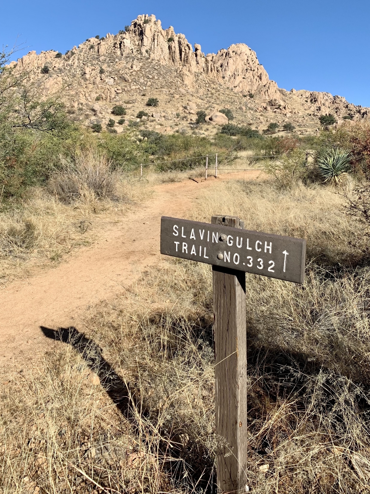
Options for our Dragoons day included exploring Council Rocks where many believe Cochise made peace with General O.O. Howard in 1872 (others believe it was at Slavin Gulch) or hiking Cochise Stronghold, a well-used escape route for the Apache. In the end, we decided to hike the Slavin Gulch Trail just south of Council Rocks. From talking with a ranger at Chiricahua National Monument, Slavin would likely offer more solitude since we were visiting on a beautiful Saturday in December.

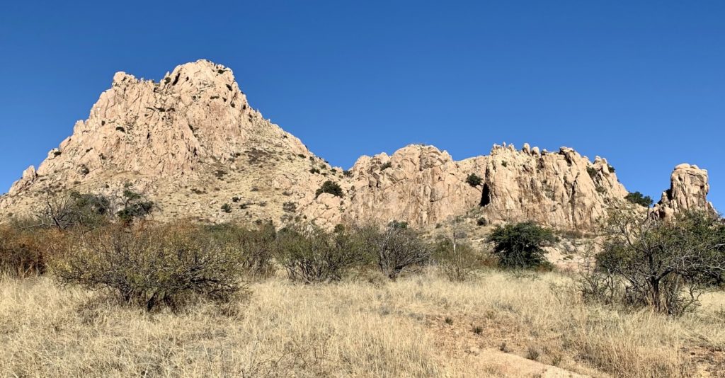
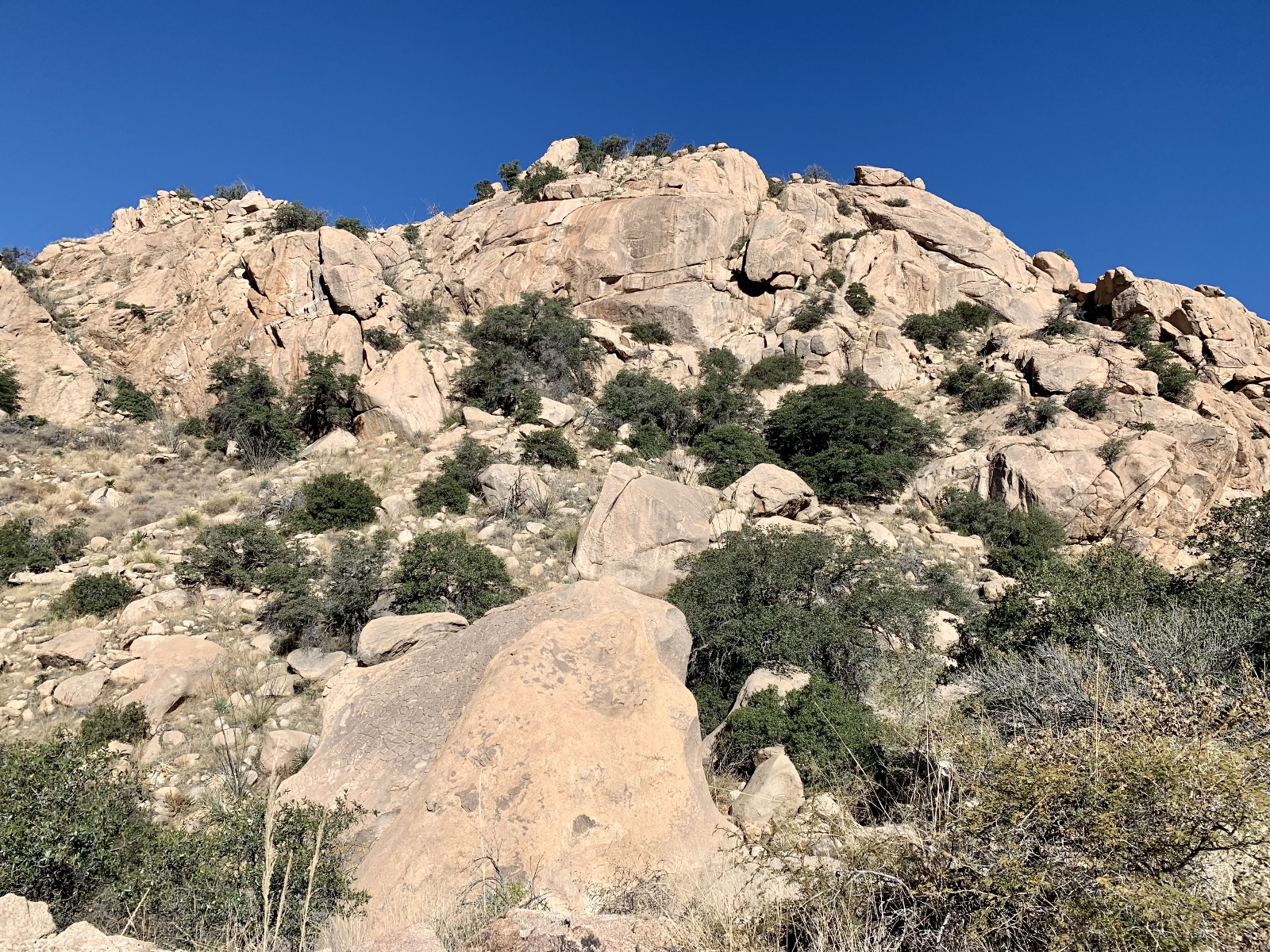
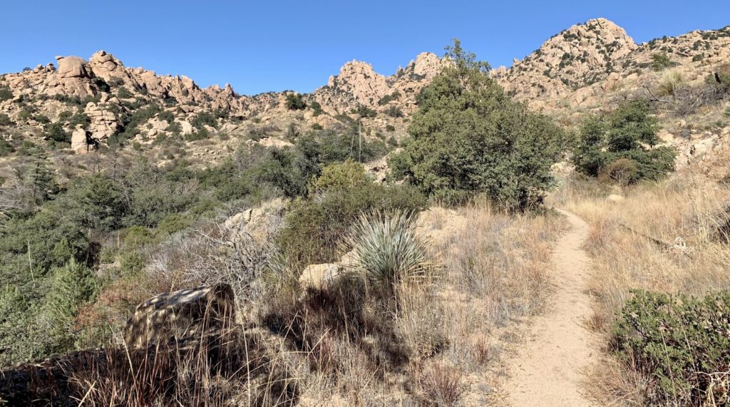
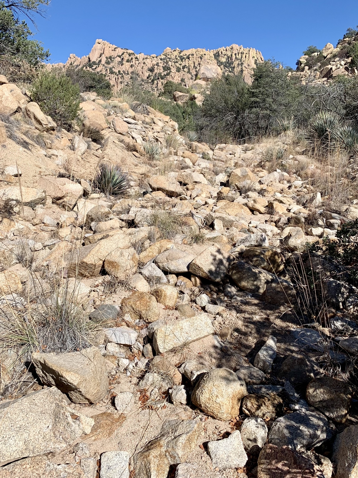
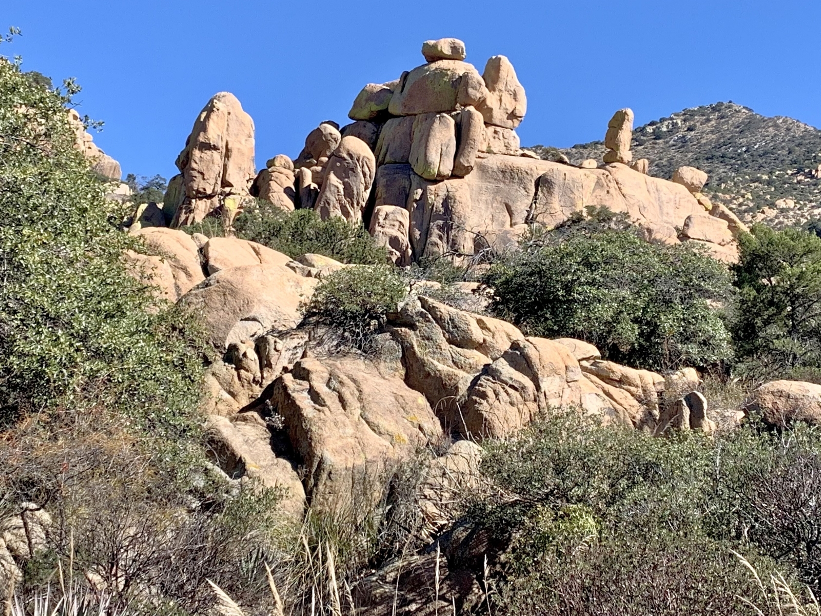
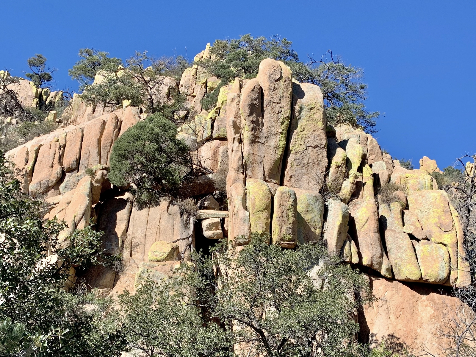
The Slavin Gulch Trail follows the route of a long-abandoned road used to haul ore from the Abril Mine located at the head of Slavin Gulch near the Dragoon Crest. The trail began by heading east through the grasslands of lower Slavin Gulch. The trail here was dirt and sand and was very easy to follow. The canyon soon narrowed and we found ourselves on increasingly rocky tread as all signs of the old road disappeared. Massive boulders and cliffs towered above us as we followed the creek. I found myself admiring what an exceptional defensive location this was for Cochise and the Chiricahua Apache.
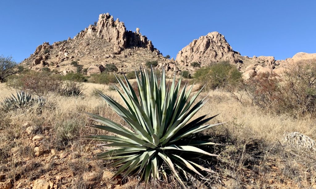
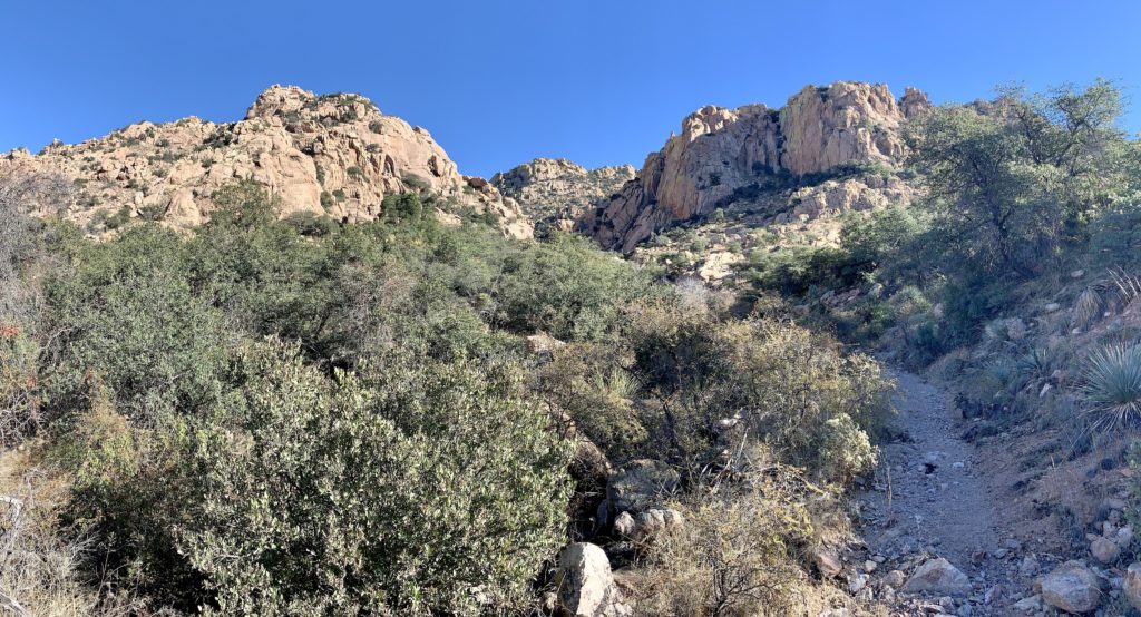
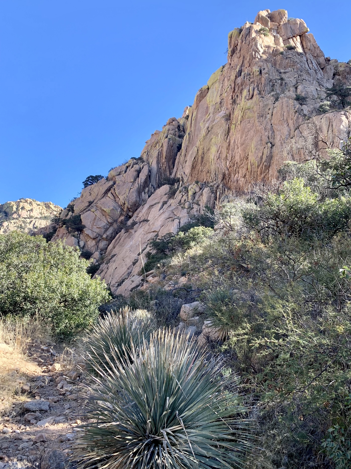
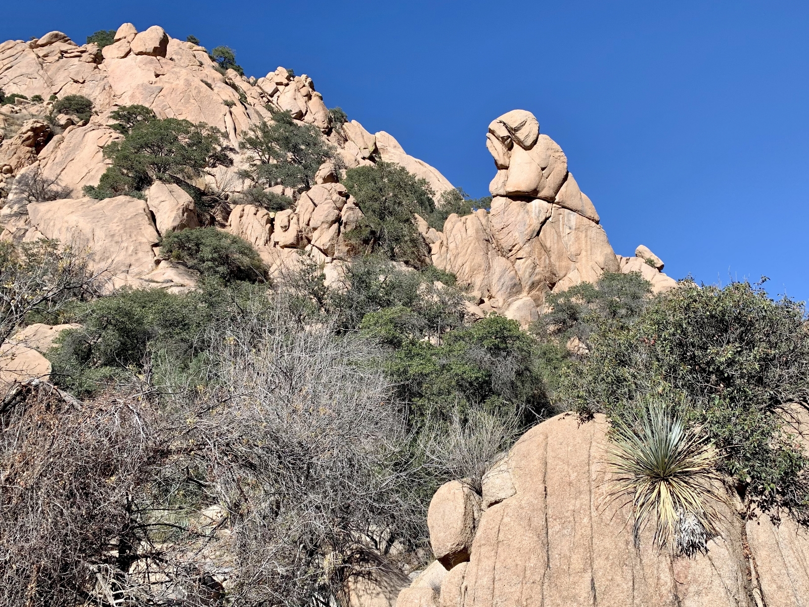
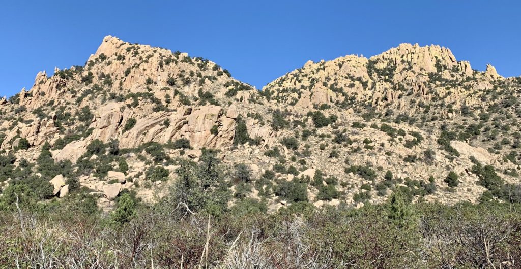
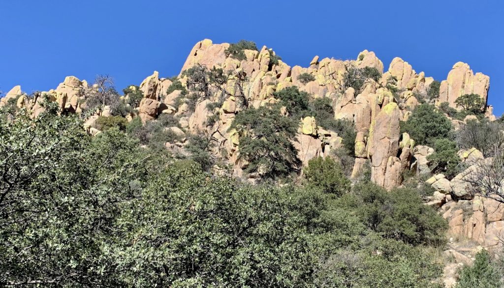
Continuing on, the canyon alternated between towering cliff walls and open valleys. Views of the boulders, hoodoos, and peaks were our constant companion. A couple miles in, the trail became faint and at times disappeared completely. Past the two mile point, we entered a larger valley where the greyish-green limestone crest of the Dragoon range came into view. This stretch reminded us of the scenery at nearby Chiricahua National Monument.

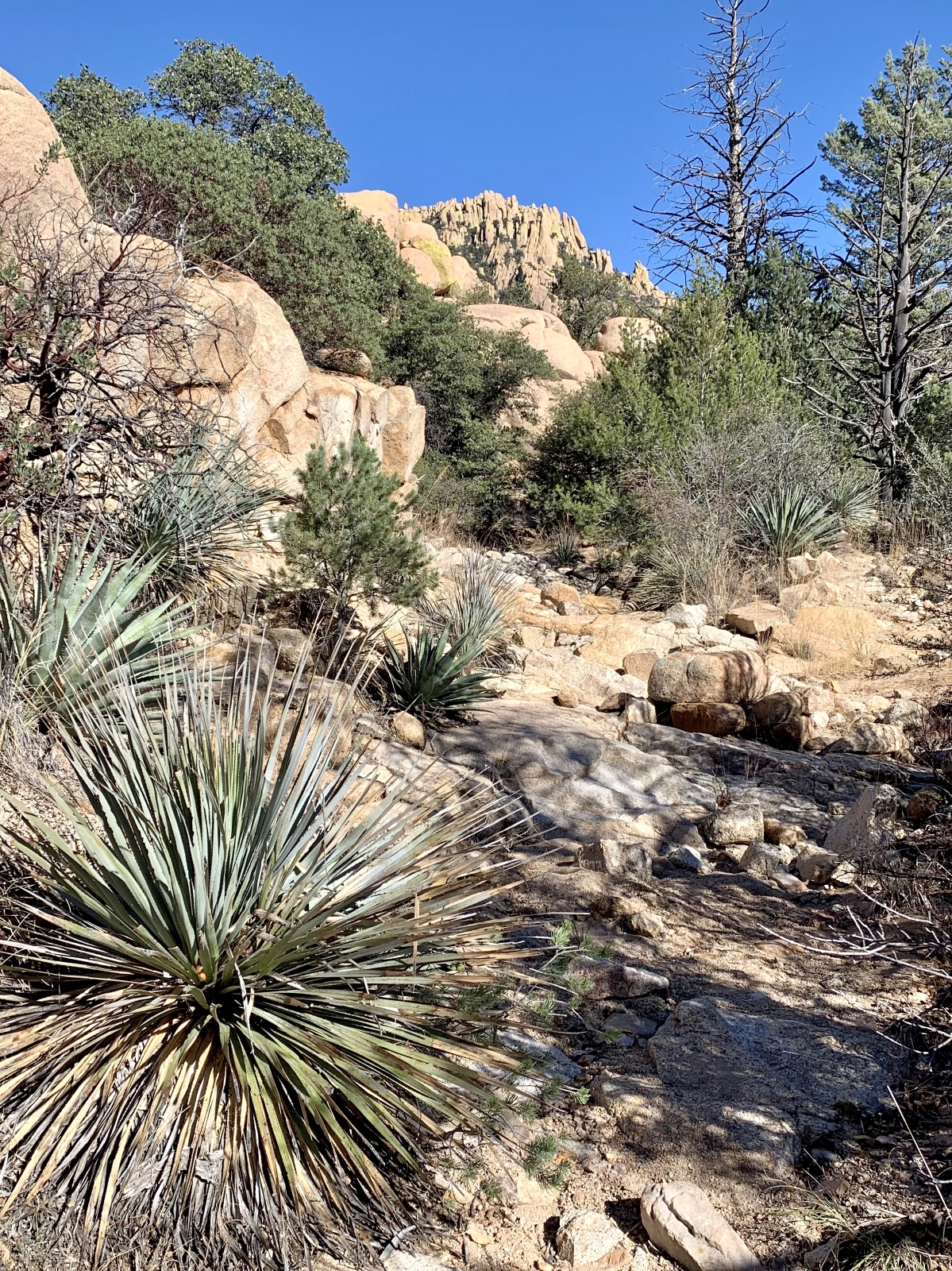

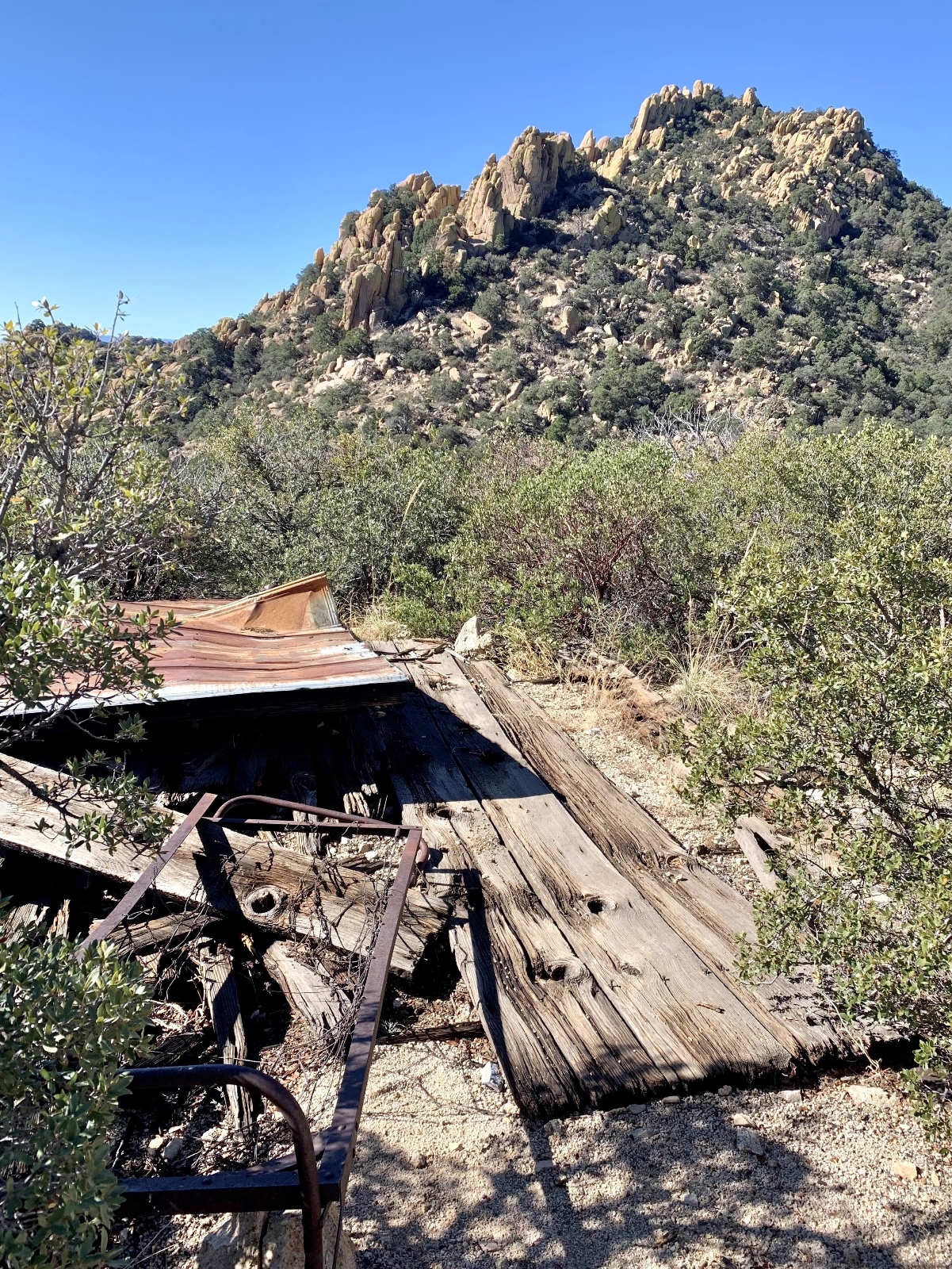
In the final stretch, the trail steepened as we climbed through manzanita, Arizona Cypress, and dense pinyon forest. The trail ended at roughly three and a half miles in at the ruins of the Abril Mine at an elevation of 6,050 feet. I read reports of people scrambling to the ridgeline above, but we made this our turnaround for the day. We took a nice break there and enjoyed the views of the Whetstone Mountains to the west.


We didn’t see anyone else during our Slavin Gulch hike. That surprised me given it was a beautiful weekend day with sunny skies and a high around 60 degrees—perfect hiking conditions for this popular trail. We did see quite a few rock climbers as we explored some spur roads off Forest Road 687 and there were many people disperse camped in the area as well. Including some side explorations, our hike covered 8.25 miles with roughly 1,100′ elevation gain. Much of the hike was over rocky trail and the entire route was very scenic. We enjoyed our time in the Dragoons and plan to return there for additional hikes in the future.

Slavin Gulch can be accessed via the west or east side of the Dragoons. The western trailhead is the easiest to access and the one that we used for our visit. If traveling from Tucson, take I-10 to Benson then follow US 80 south toward Tombstone. Turn left onto Middlemarch Road (one mile north of Tombstone), and follow it for approximately 10 miles to the Coronado National Forest boundary. This is a gravel road, but it is wide and well-maintained (although fairly washboard). At the boundary, turn left onto FR 687. Follow FR 687 for 2.85 miles to where it makes a hard left after crossing a creek bed. The Slavin Gulch Trail begins there as a blocked road heading north. Within 150 feet, there is a sign for the Slavin Gulch Trail, and the trail passes through a vehicle barrier fence.

The Adventure Continues
Be sure to join us for our next post as we move to Catalina State Park north of Tucson. And don’t forget to check out our Amazon RV and Adventure Gear recommendations. We only post products that we use and that meet the Evans Outdoor Adventures seal of approval. By accessing Amazon through our links and making any purchase, you get Amazon’s every day low pricing and they share a little with us. This helps us maintain this website and is much appreciated!
