During our stay at River Island State Park, we were able to enjoy a couple days of kayaking—something that is a real treat while traveling in the Desert Southwest! We also crossed the Colorado River into California and took a chance on a little-known trail that turned out to be a real oasis in the desert.
Kayaking at Bill Williams Wildlife Refuge
Situated in western Arizona along the Lower Colorado River, the Bill Williams River National Wildlife Refuge offers a glimpse into what this landscape looked like hundreds of years ago. Today the refuge holds one of the last stands of naturally regenerated cottonwood-willow forest along the Lower Colorado River and is one of the last ecologically functioning river habitats in the southwest United States. In 1993, 6,100 acres of the Havasu Lake National Wildlife Refuge was designated as Bill Williams River National Wildlife Refuge due to its uniqueness and diversity of habitat.
Bill Williams River National Wildlife Refuge offers visitors an opportunity to view a wide variety of wildlife species in a beautiful desert setting. A few short hiking trails near the visitor center offer excellent birding opportunities; however, the refuge seems to be most popular for its canoe and kayak trail.
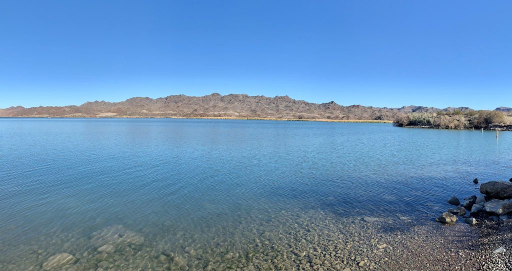
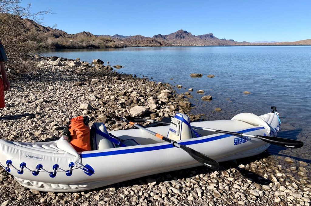
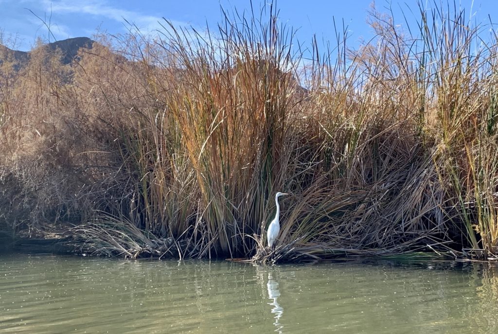
We launched our kayak at the primitive boat launch below the refuge visitor center. This put us on the southeastern corner of Lake Havasu where we had some open water to cross, but saw a lot of waterfowl. We passed under the US 95 bridge and entered the Bill Williams River. From there we paddled through a relatively narrow river channel where we saw more birds including an egret at close range. About a mile up the river, we were disappointed to find evidence of a recent burn. Apparently controlled burns are common here in an effort to minimize invasive plant species that outcompete native vegetation for precious water resources.
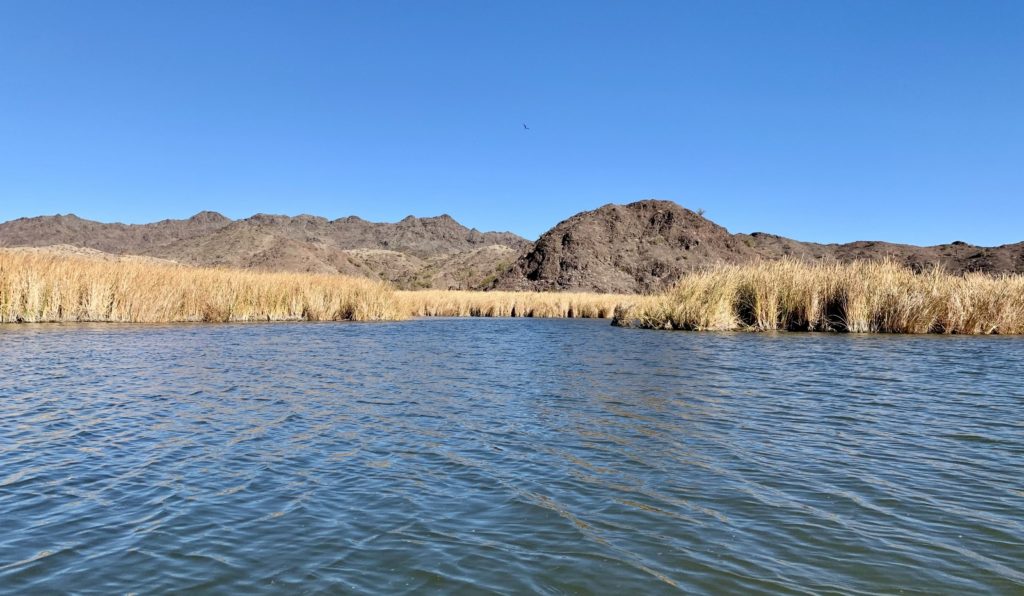
Despite the burn area, we enjoyed our day kayaking at Bill Williams. We had a sunny day with temperatures in the low 70s making for ideal conditions. We also had the opportunity to talk with some other kayakers along the way and see some nice wildlife.
Bill Williams River National Wildlife Refuge Visitor Center is located 21 miles south of Lake Havasu City and 17 miles north of Parker along US 95 in western Arizona. The visitor center is open Monday – Friday (closed all federal holidays) from 8:00 a.m. – 4:00 p.m. Click here for an interactive map.
Kayaking on the Colorado River
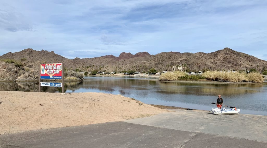
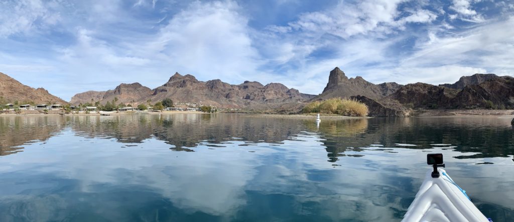
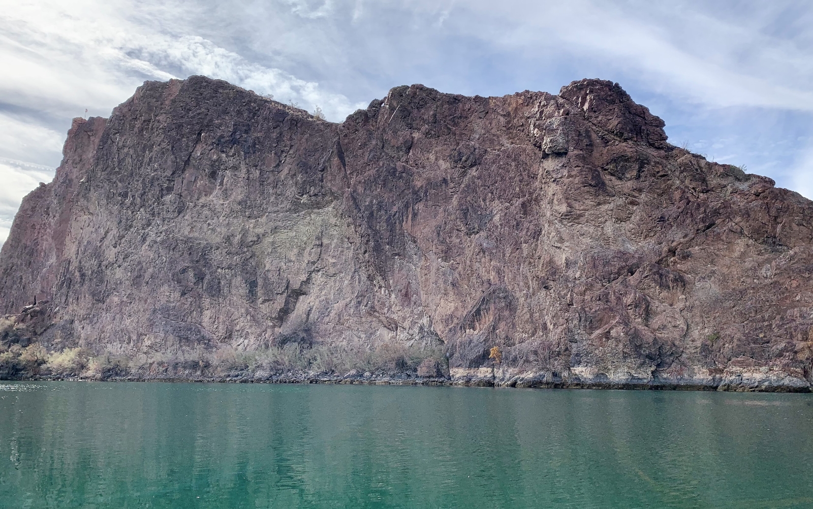
With abundant sun and comfortable temperatures during our stay at River Island State Park, we decided to hit the water a second day. For this adventure, we launched from the River Island boat launch and paddled downstream to Buckskin Mountain State Park and back. There isn’t a lot of current along this stretch of the Colorado River which made for an easy return paddle. River traffic was very light that day, despite the beautiful weather, and we felt like we had the place to ourselves. It was fun checking out all the vacation homes on both the California and Arizona sides of the river.



BLM Oasis Hike
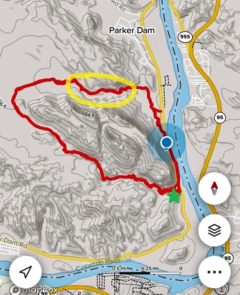
For our final day at River Island State Park, we looked for a nice nearby hike without a long drive. I got on AllTrails and found a 4 mile loop hike just across the river. The name was “BLM Oasis”. I didn’t hold high hopes that it would be much of an oasis, but the reviews seemed positive enough, it was close by, and we like loop hikes.
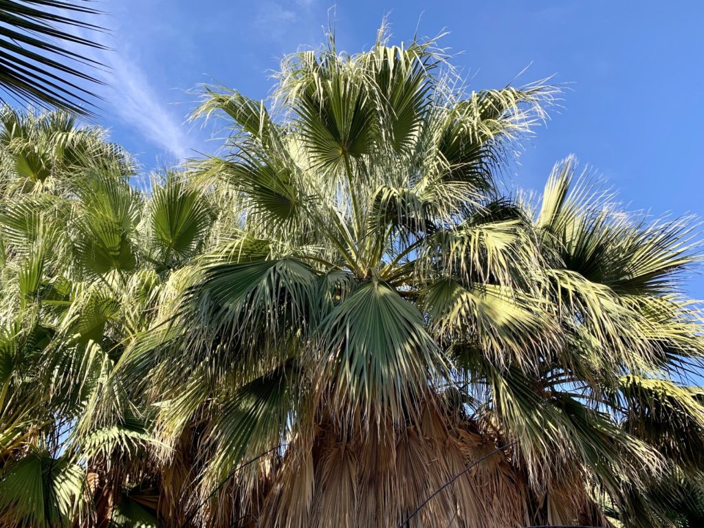
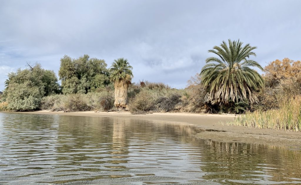
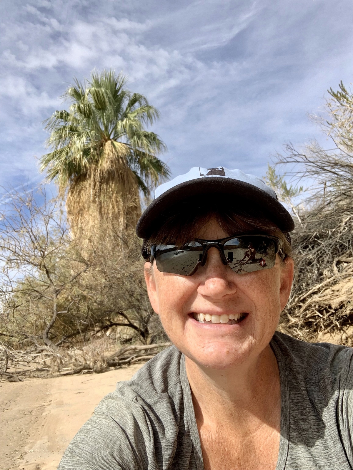
We crossed Parker Dam and traveled a short distance south along the California side of the Colorado River. We found a big pullout along the highway and started our hike. This is not an official trail and there is no signed trailhead, you just find a good place to park. We walked along the highway for a short distance and used the map from AllTrails to ensure we found the route. Trending along the highway, the trail humbly began amidst piles of burro dung and some trash. Not a promising start. But hiking the loop in a counterclockwise direction, we quickly found out why this is called BLM Oasis. We soon entered a canyon where a stream and towering palm trees came into view. In a matter of minutes we had gone from loser to winner.
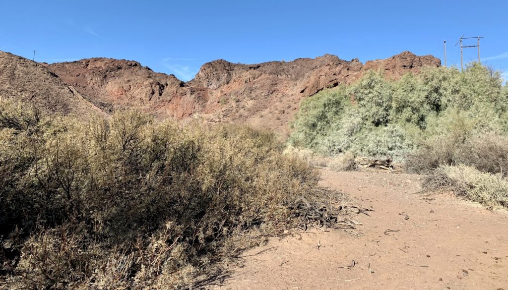


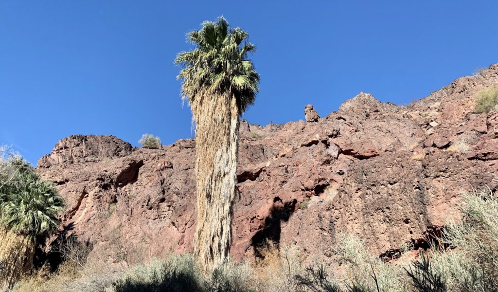
We continued up canyon past massive groves of palm trees. Rocky canyon walls towered above us, forcing our route through the narrow canyon. We had a couple small stream crossings and nearly lost the trail once. We pushed our way through the foliage and squeezed against canyon walls in places, but the trail was always easy to find.
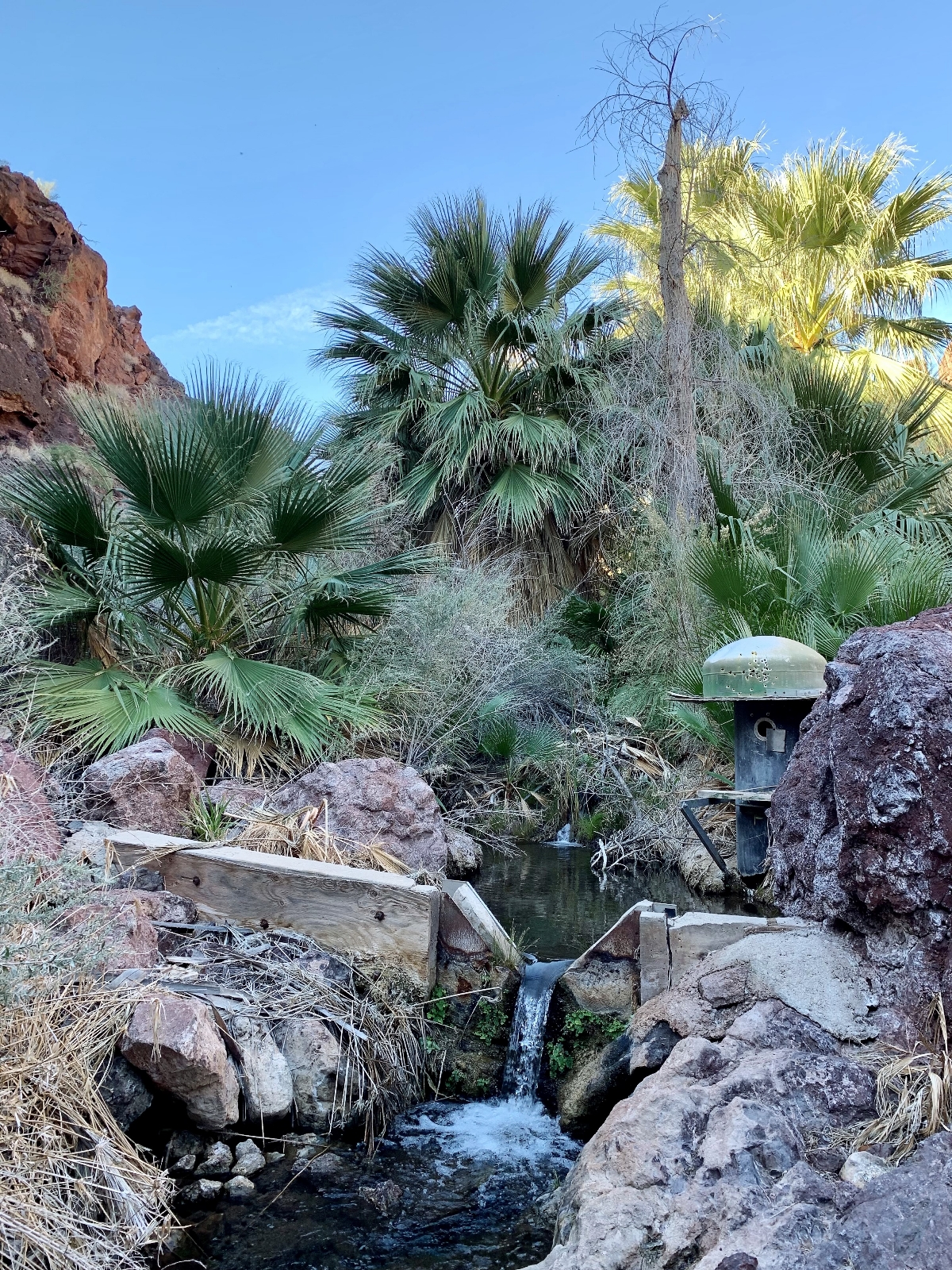
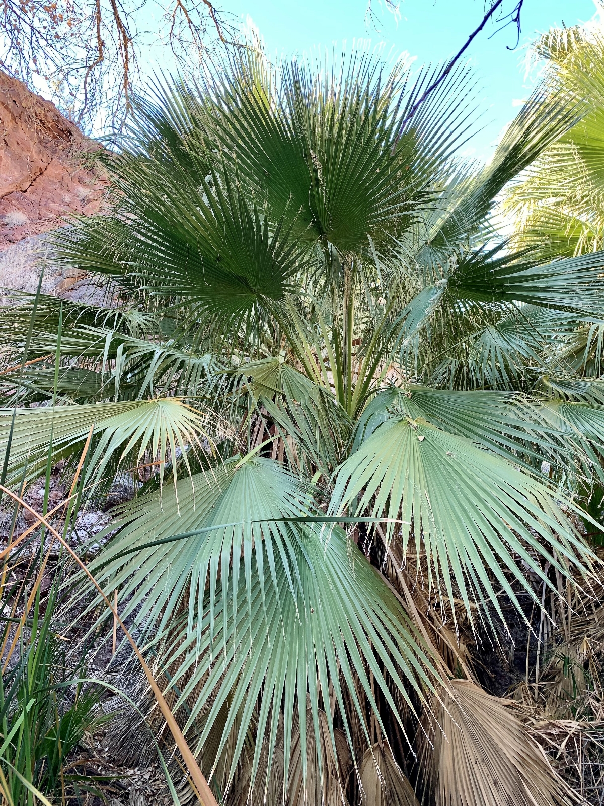
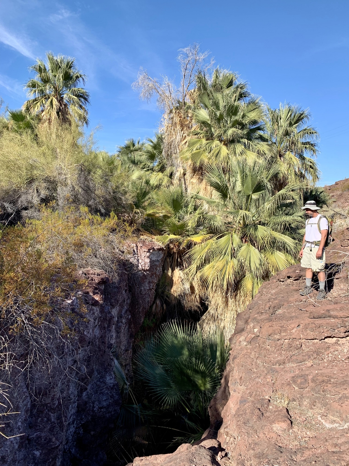
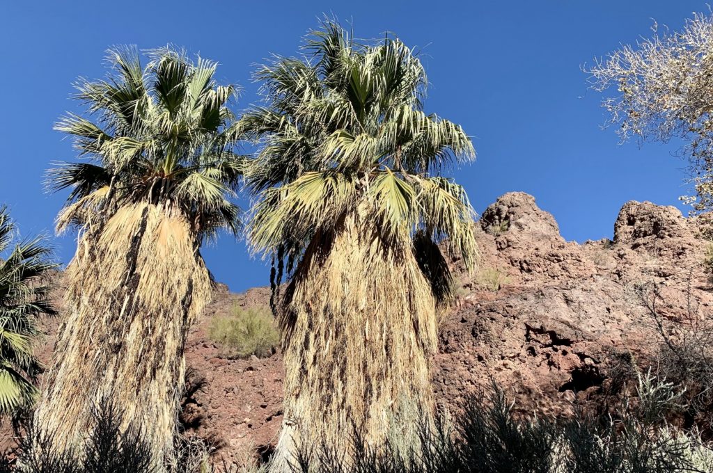
The palm tree groves continued for roughly a mile and then we passed through an open section that was pretty desolate and had little scenic value other than far-reaching desert views. But we quickly made our way down into another canyon where we had rugged canyon walls towering above us until we reached the highway. The social trail through this section was a little less obvious at times, but navigation was easy as we just followed the canyon floor. From there, it was a short hike up the highway and back to the truck.
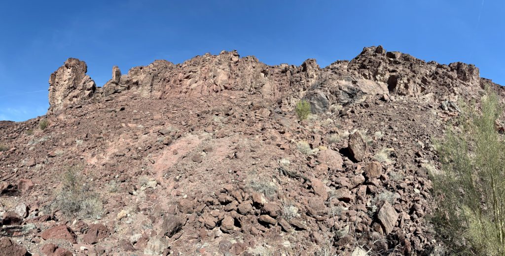
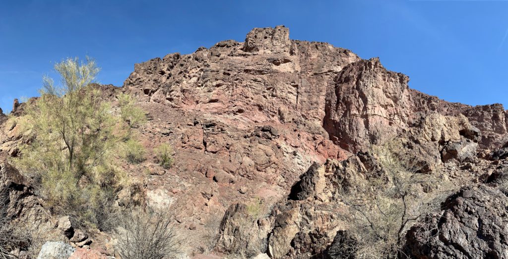
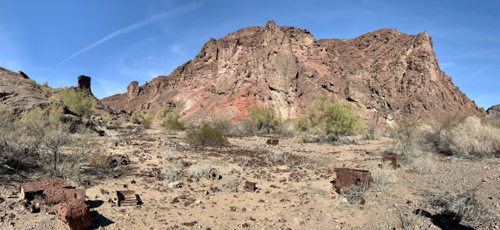
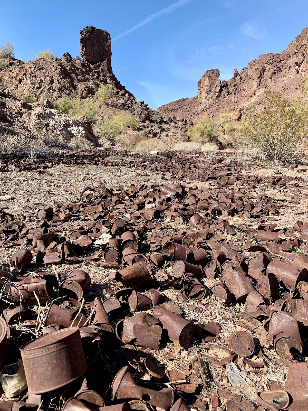
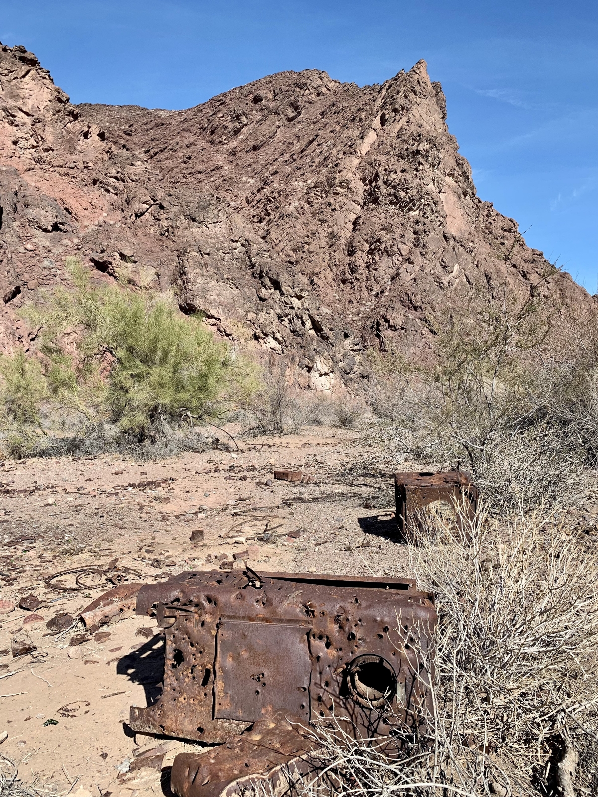
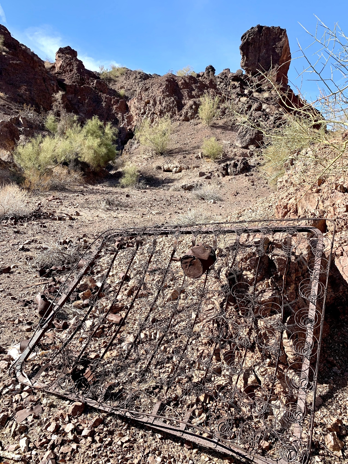
People on AllTrails complain about this route being poorly marked. Well yeah, it isn’t marked at all since it is not an official trail. You will need to go prepared to find your own way. With that said, it isn’t difficult if you pay attention and have some basic route finding skills. If you need a signed and maintained trail, this route might not be for you. There is very little elevation change, but there were some rocky sections that some might find challenging. I definitely recommend good shoes. For those comfortable with some basic route finding, we highly recommend visiting BLM Oasis.
The Adventure Continues
Be sure to join us on our next adventure as we move north to the Black Canyon region of the Colorado River. And don’t forget to check out our Amazon RV and Adventure Gear recommendations. We only post products that we use and that meet the Evans Outdoor Adventures seal of approval. By accessing Amazon through our links and making any purchase (even things as simple as toothpaste!), you get Amazon’s every day low pricing and they share a little with us. This helps us maintain this website and is much appreciated!
