Superb hike through a wonderland of rocks and hoodoos
Distance: 8.75 miles
Type: loop
Difficulty: moderate with 1,750′ elevation gain
Best season: spring and fall
Prior to starting Evans Outdoor Adventures in 2015, we visited some incredible sites across the West. As time permits, I’m going back into the photo vault to share some of those memorable adventures with you. In this post, I’ll be sharing our March 2012 hike in Chiricahua National Monument.
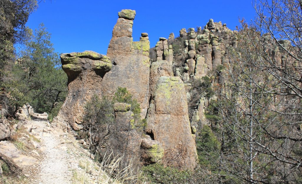
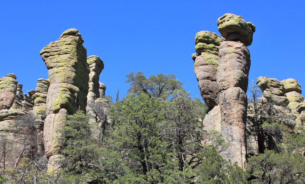
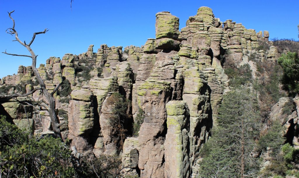
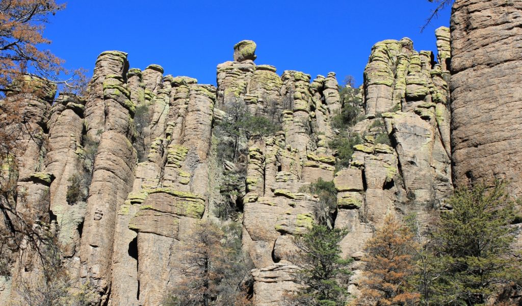
Chiricahua National Monument in Eastern Arizona is known as a “wonderland of rocks”. The monument was created to protect the rhyolite rock pinnacles that are the star attraction. The pinnacles look like green tinted versions of the hoodoos found in Bryce Canyon. They were formed by the Turkey Creek Volcano when eruptions melted together ash particles into layers of grey rock called rhyolite. Over the years movement, weathering, and erosion worked up cracks, which let the weaker material wash away leaving behind the spectacular formations.

We visited Chiricahua during our first visit to Arizona back in March 2012. At just a two hour drive from Tucson, the monument was too close to resist. On a beautiful early spring day with sunny skies and temperatures in the 60s, we hiked The Big Loop (click here for park map) in a counterclockwise direction. The loop combines Echo Canyon, Upper Rhyolite Canyon, Sara Deming, Heart of Rocks, Big Balanced Rock, Mushroom Rock and Ed Riggs trails for a spectacular 8.75 mile loop. The elevation is higher than you would expect for Arizona averaging from 6,000′ to 7,000′, so be prepared for thin air.
We began the loop by descending down the Echo Canyon Trail. This was one of the more scenic sections as the trail as it wanders through a maze of hoodoos. Echo Canyon was built by the Civilian Conservation Corps in 1936-37. As the granddaughter of a ‘CCC Boy’, I always admire their work and value the opportunity to hike one of their trails.
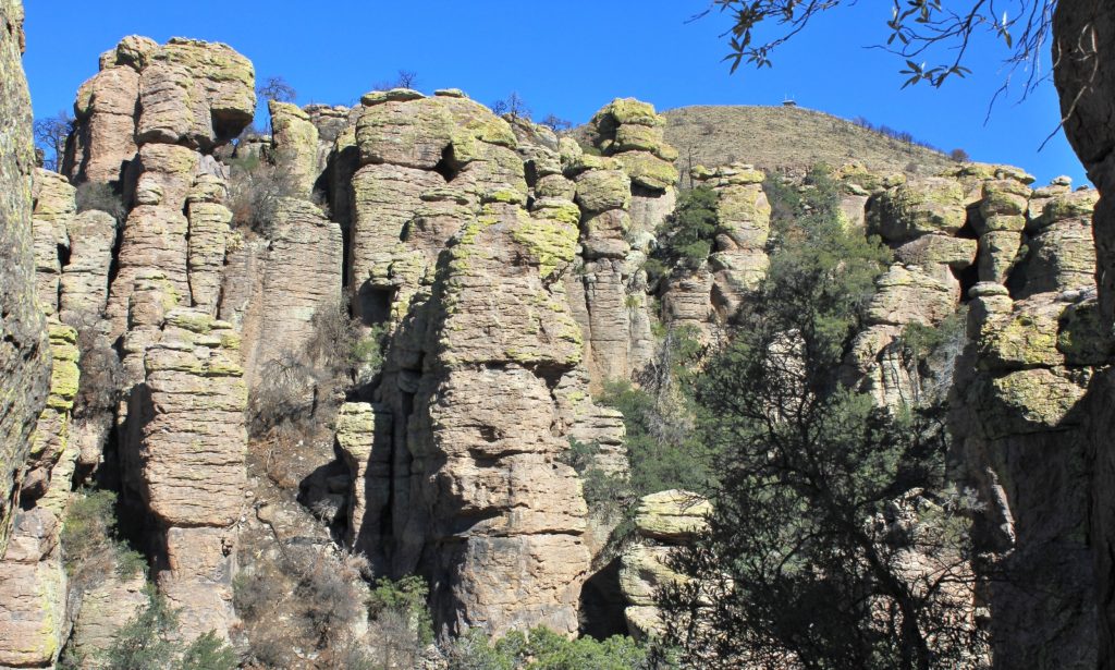
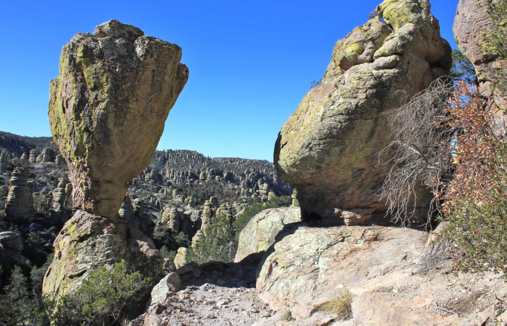
From the bottom of Echo Canyon we cut across Upper Rhyolite Canyon Trail. This took us through the bottom of a canyon that had burned the year before. From there we joined the Sara Deming Trail which climbed us back out of canyon. Our views improved as we gained elevation over the rocky trail.
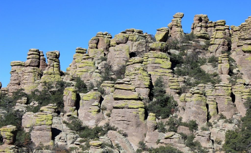
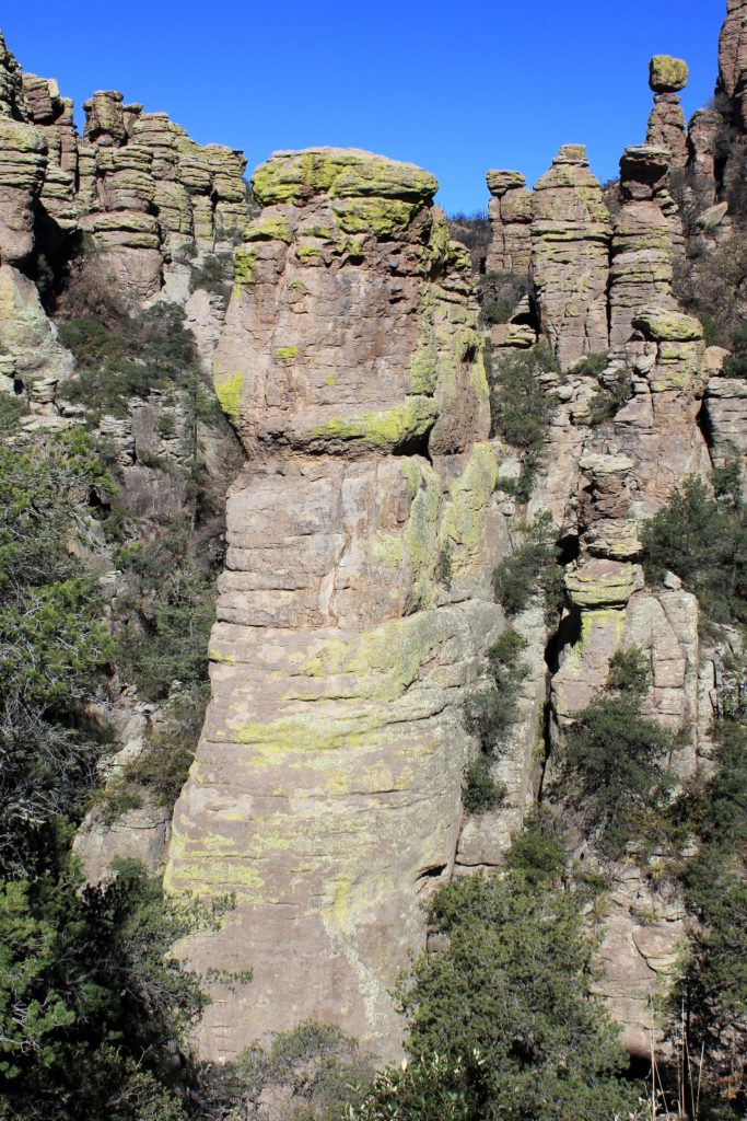
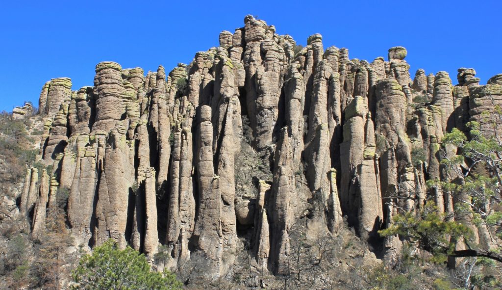
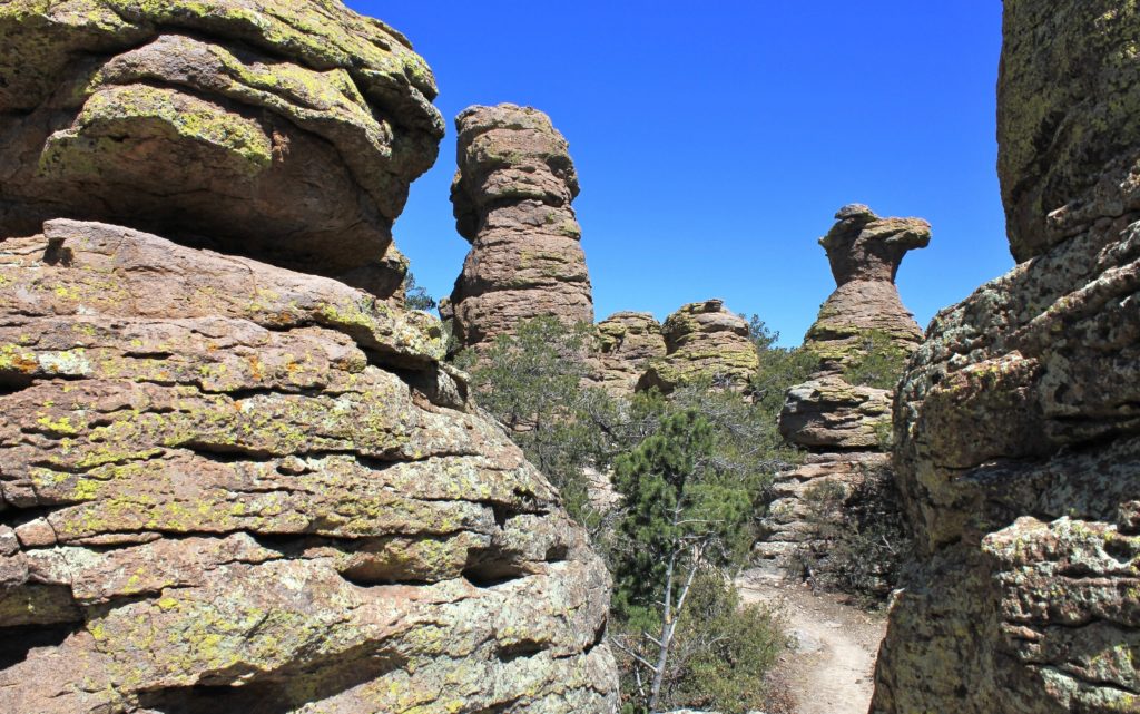
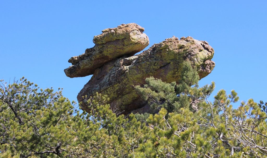
At the top of Sara Deming, we turned onto the Heart of Rocks Loop. This 1.1 side trail was one of the highlights of the trip with some of the more interesting rock formations including Camel’s Head and Duck on a Rock.
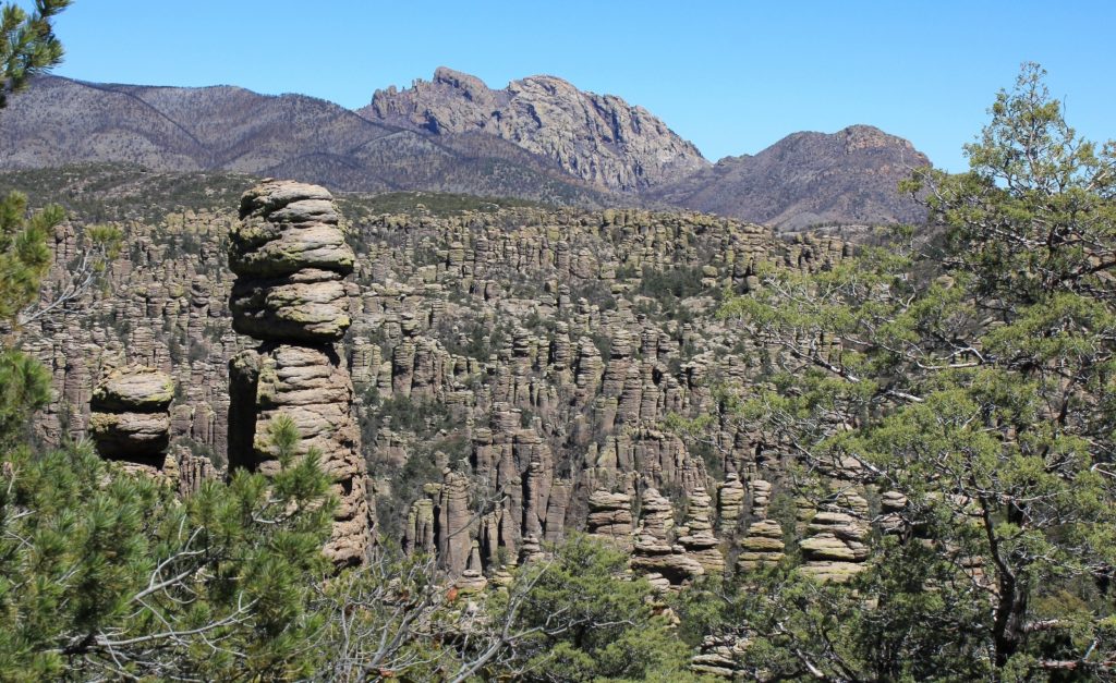
The photo below shows one of my favorite vantage points along the Big Loop. On the hill to the left is Sugarloaf Mountain Lookout near where we started hours earlier. At center is the massive and incredible Cochise Head (named for the famed Apache warrior). Front and center are hundreds of wonderful hoodoos that spark the imagination.
After the Heart of Rocks loop, we hit the Big Balanced Rock Trail and then the Mushroom Rock Trail. These trails took us through a large burn area with little for scenic views. Soon enough though, we were on the Ed Riggs Trail for a steady climb back up to the trailhead. We were back in the rock formations on this stretch and we finished with some amazing views.
