Stunning views on this backpack to several high mountain lakes and over a mountain pass
Distance: 22 miles round trip including side explorations
Type: loop
Difficulty: moderately difficult with approximately 3,000′ total elevation gain
Best season: August and September
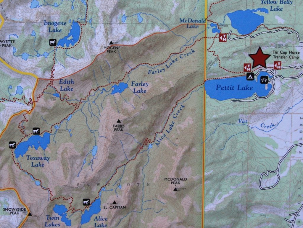
Mid-September 2015 found me with some planned time off in between jobs. September is our favorite hiking month so Jason put in for some extra vacation time. My time off came at the expense of a missing paycheck prompting us to agree on an inexpensive vacation spent backpacking and hiking in Idaho’s Sawtooth and White Cloud wilderness areas. We’d do a three day backpack to Hell Roaring and Imogene Lakes, a day hike along a ridge line in the newly designated White Cloud Wilderness, a three day backpack on the Alice Lake Loop, and end with a day hike into Island Lake high in the White Cloud Wilderness.
We couldn’t have asked for a better backpack to Hell Roaring and Imogene Lakes over the first three days of vacation. And we enjoyed stunning views and beautiful weather on our ridgeline ramble in the newly designated White Cloud Wilderness. After two nights in a comfortable bed at Smiley Creek Lodge, it was time for another backpack adventure.
September 23: Wednesday morning we were awake before dawn—the trail was calling. I savored my last hot shower for a few days, then we loaded our gear into the truck and we were off.
We made the short drive from Smiley Creek Lodge to the Tin Cup Trailhead at Pettit Lake (elevation 6,996′). We’d have a cold start to the morning with temperatures a brisk 24 degrees. We made some coffee with our Jetboil and ate our breakfast of yogurt in the truck before strapping on all our gear and hitting the trail at about 8:15. As we left the parking lot, we could hear a bull elk bugling in the distance—a magical beginning to what would be a perfect backpack.
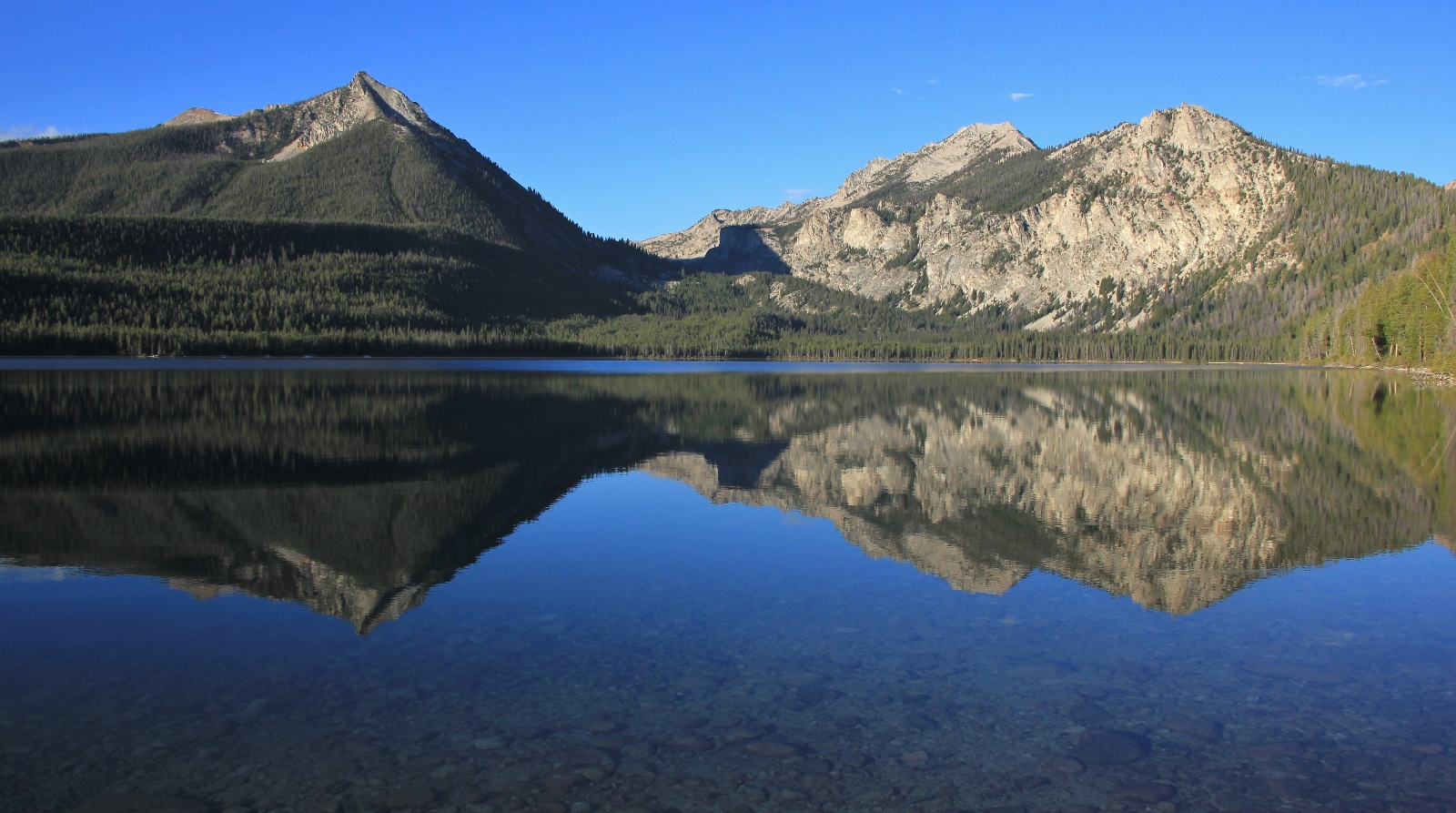
We had day hiked to Alice Lake the previous September, so we were on familiar ground for day one. The trail begins by following Pettit Lake for a little over a mile with no real elevation change. It was a gorgeous morning on the lake and I got some nice reflection photos. Once we were moving, the cold temperatures weren’t noticeable other than cold fingertips.
We left Pettit Lake and hit the wilderness boundary around 9:00. Here we met up with the Olympia boys who we had seen at the beginning of vacation on our Hell Roaring and Imogene Lakes backpack. I almost didn’t recognize them and teased them about looking a little rougher than they had a few days prior. They got a laugh out of that and warned us not to get too close. They had a great trip and reported snow on Snowyside Pass, but nothing that would cause us problems. We said our farewells and continued up the trail.
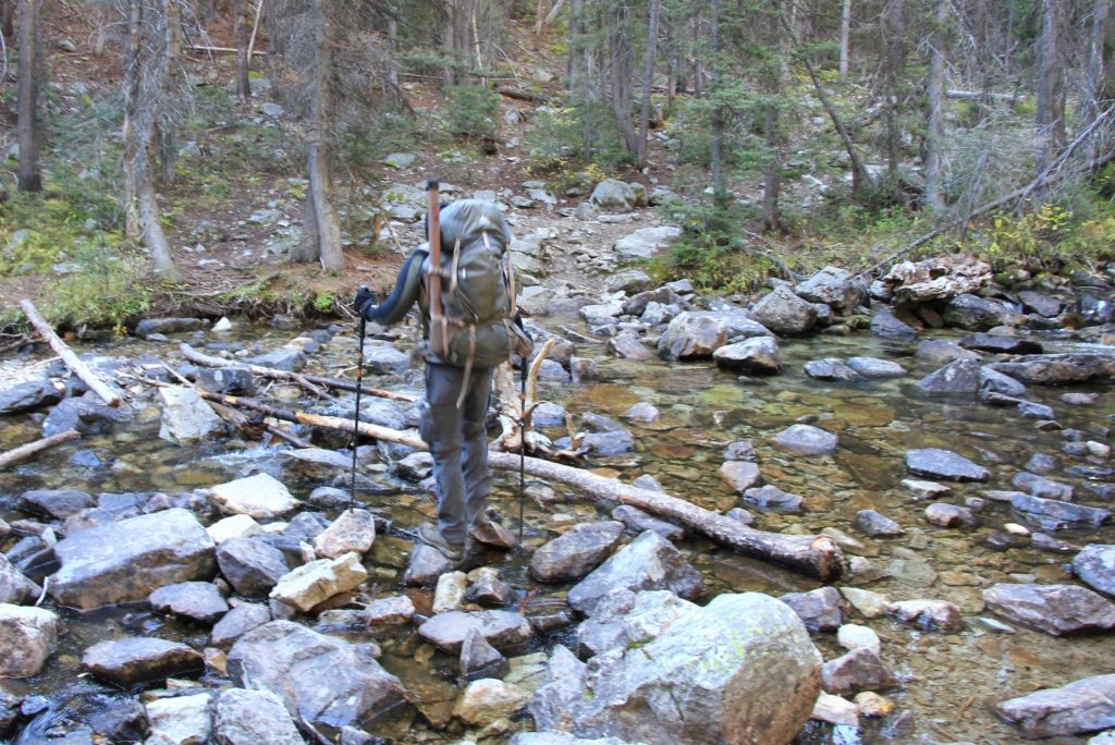
The trail climbed gently through a dense section of forest for a little while before starting to open up with occasional glimpses of rugged Sawtooth cliffs to our right. We had a few stream crossings, but were able to rock hop and keep our feet dry.
At about 3 miles in, the trail turned uphill. We quickly climbed out of the shade and into the sun. Fall colors were really popping at this elevation. Temperatures started warming quickly and it wasn’t long before we were stripped to short sleeves and legless pants. It was hard to believe it had been 24 degrees less than 2 hours earlier.
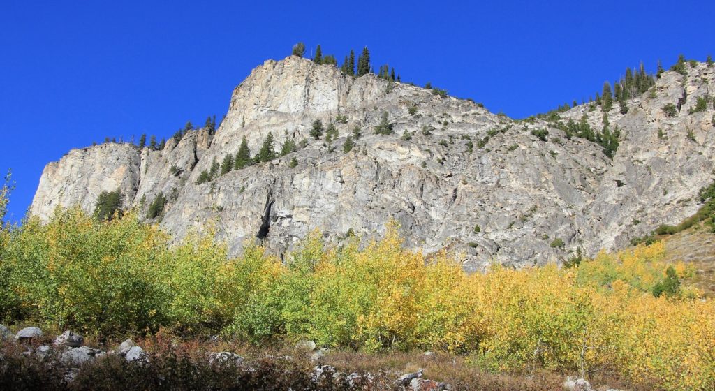
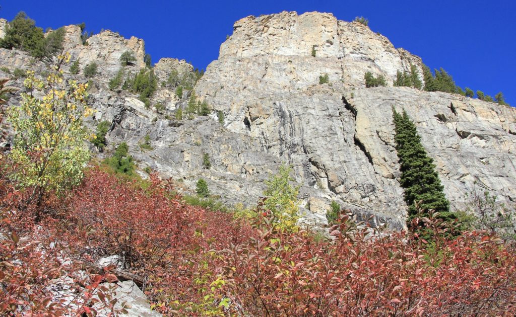
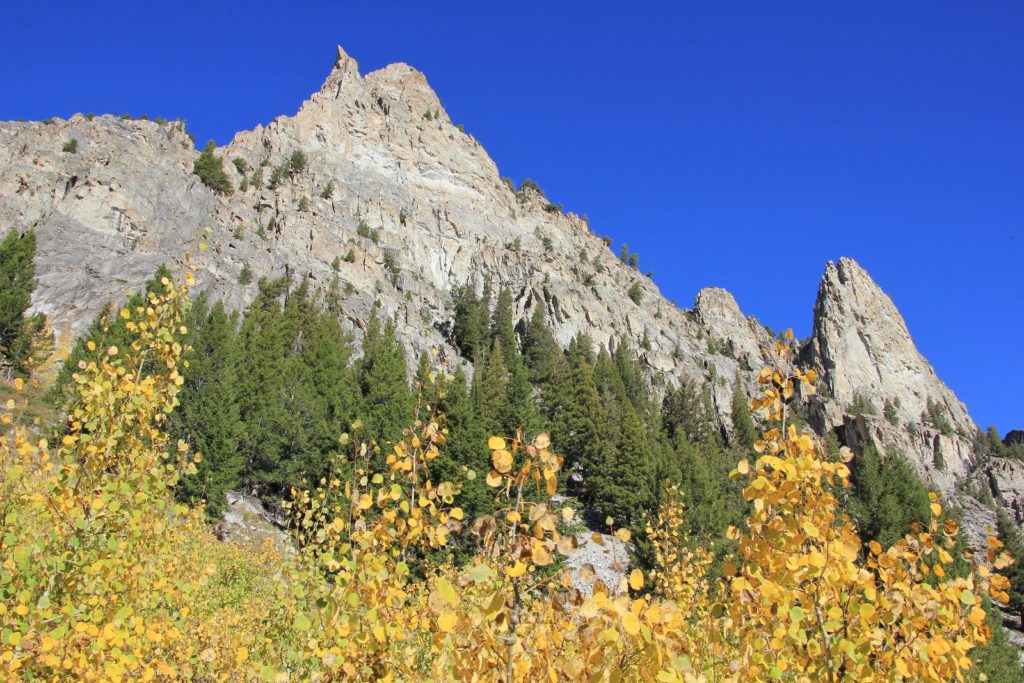
We made our way up the trail, enjoying the yellows of the aspens and reds of the huckleberry bushes. Soon, views of the White Clouds opened up behind us. We stopped for a couple breaks along the way, taking our time to enjoy the stunning scenery. We had a group of four women and another group with two middle-aged couples pass us. They were all day hikers and we’d see them a couple hours later on their return hikes.
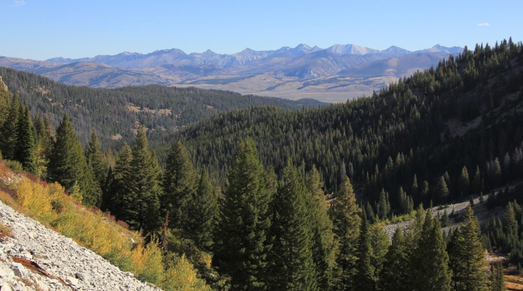
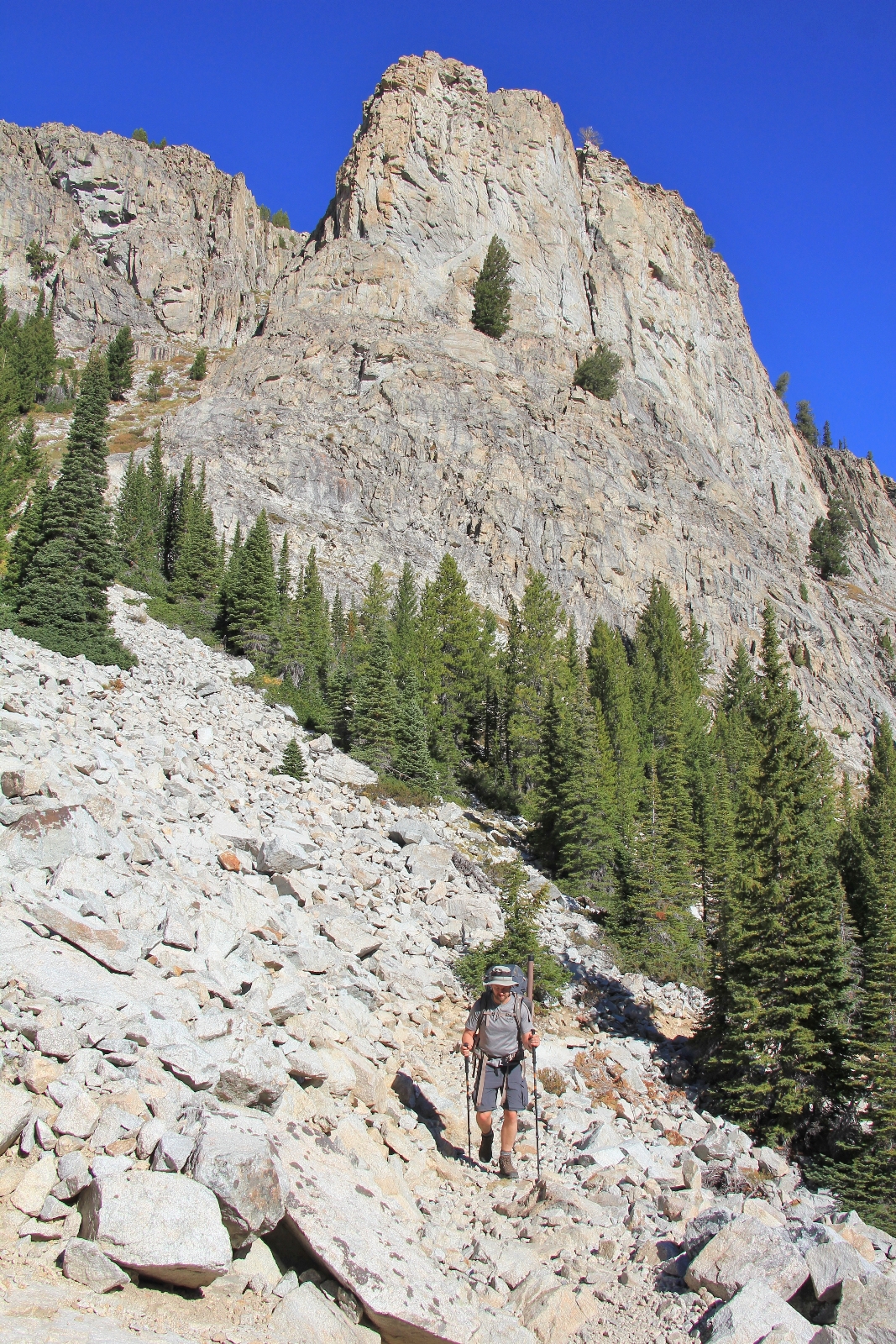
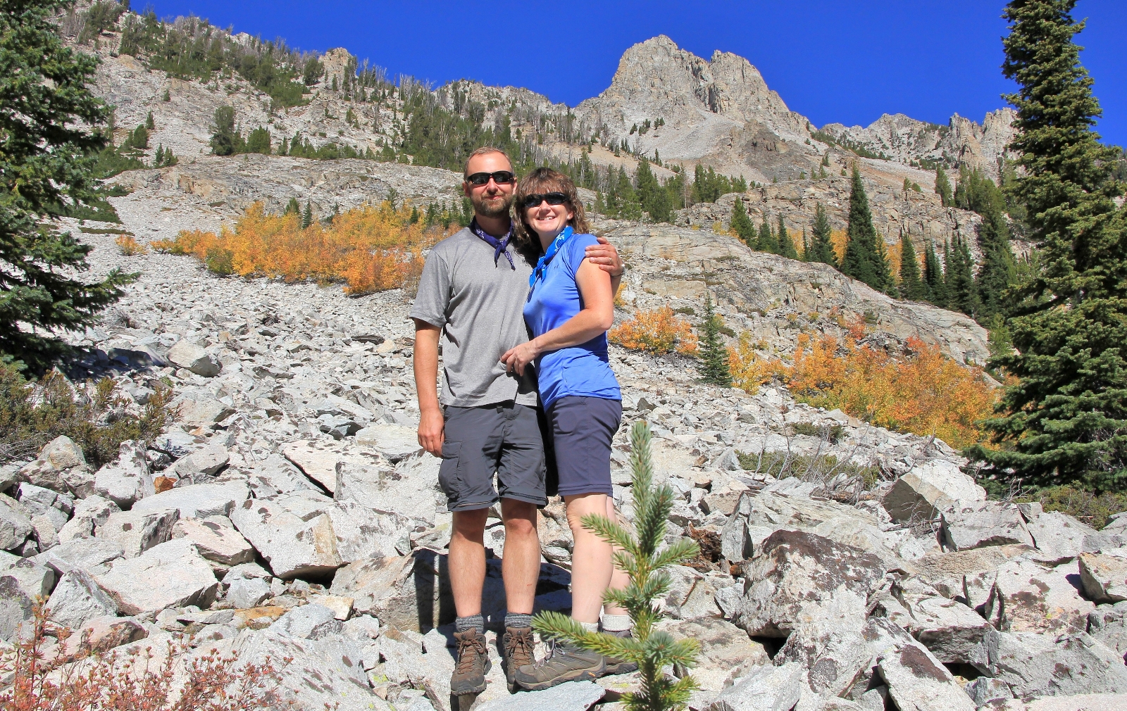
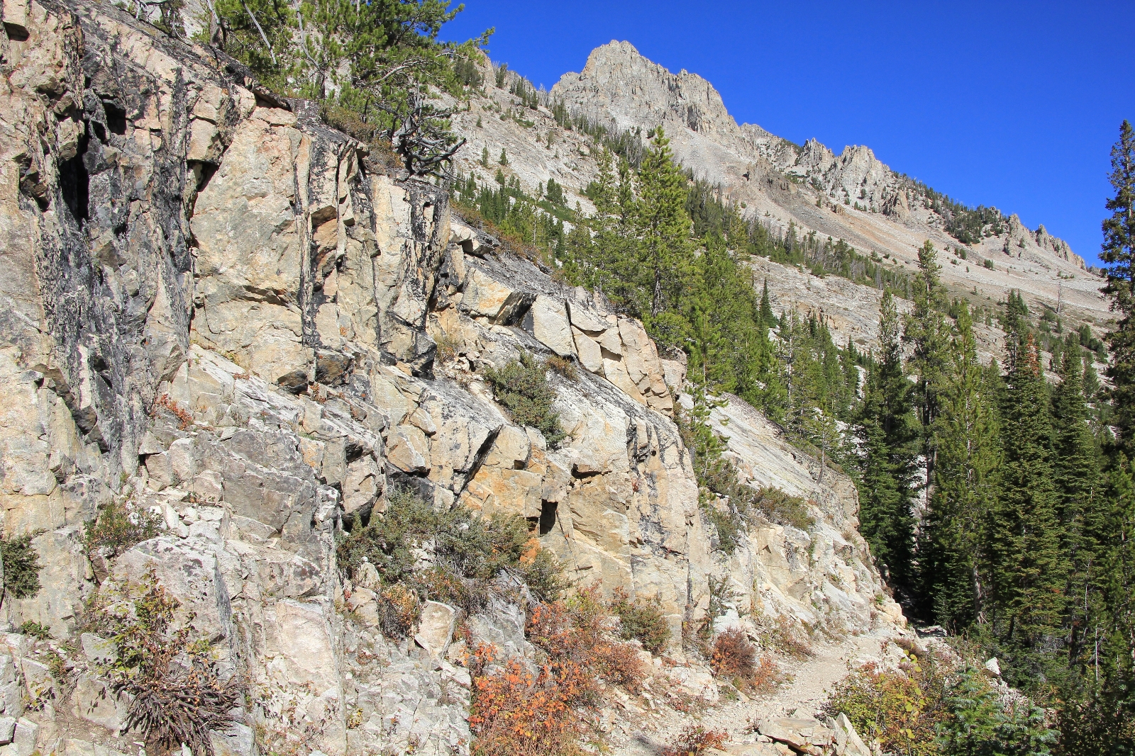
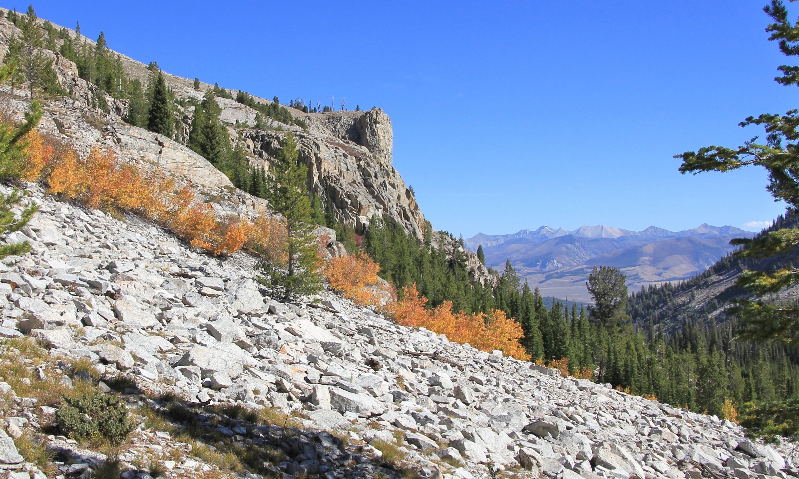 We made a few more stream crossings—again, none were a problem.
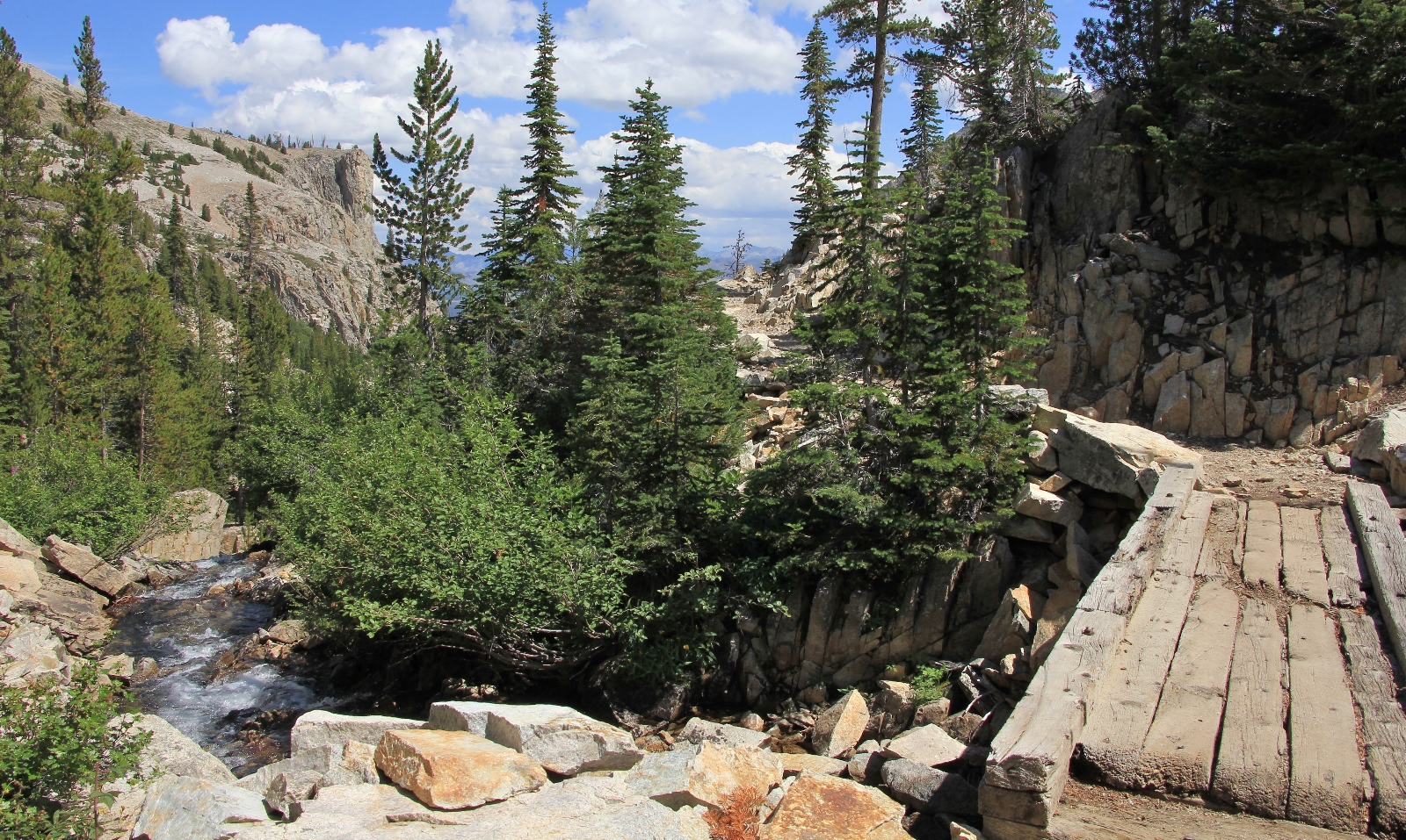
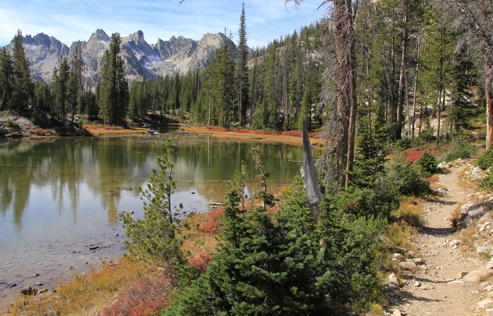
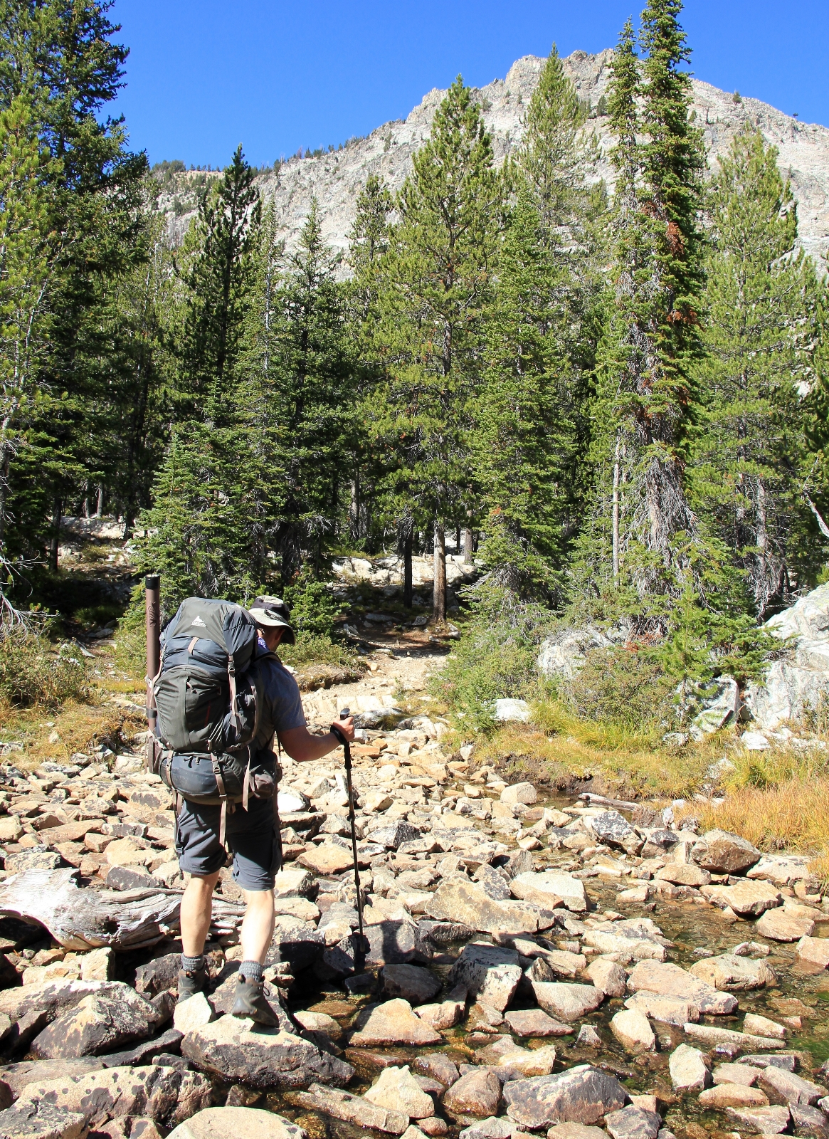 We topped out and came to the two small lakes before Alice at about 5.5 miles in. There were a lot of reds along the shores with the rugged peaks above Alice Lake in the distance.
Arriving at Alice Lake elevation 8,596, our first priority was finding the perfect campsite. We agreed that we would try to find a spot on one of the peninsulas we could see sticking out along the right hand side of the lake. We checked out a spot on the first peninsula we came to. We almost set camp there, but decided to go check out the bigger peninsula that we could see further up the shoreline.
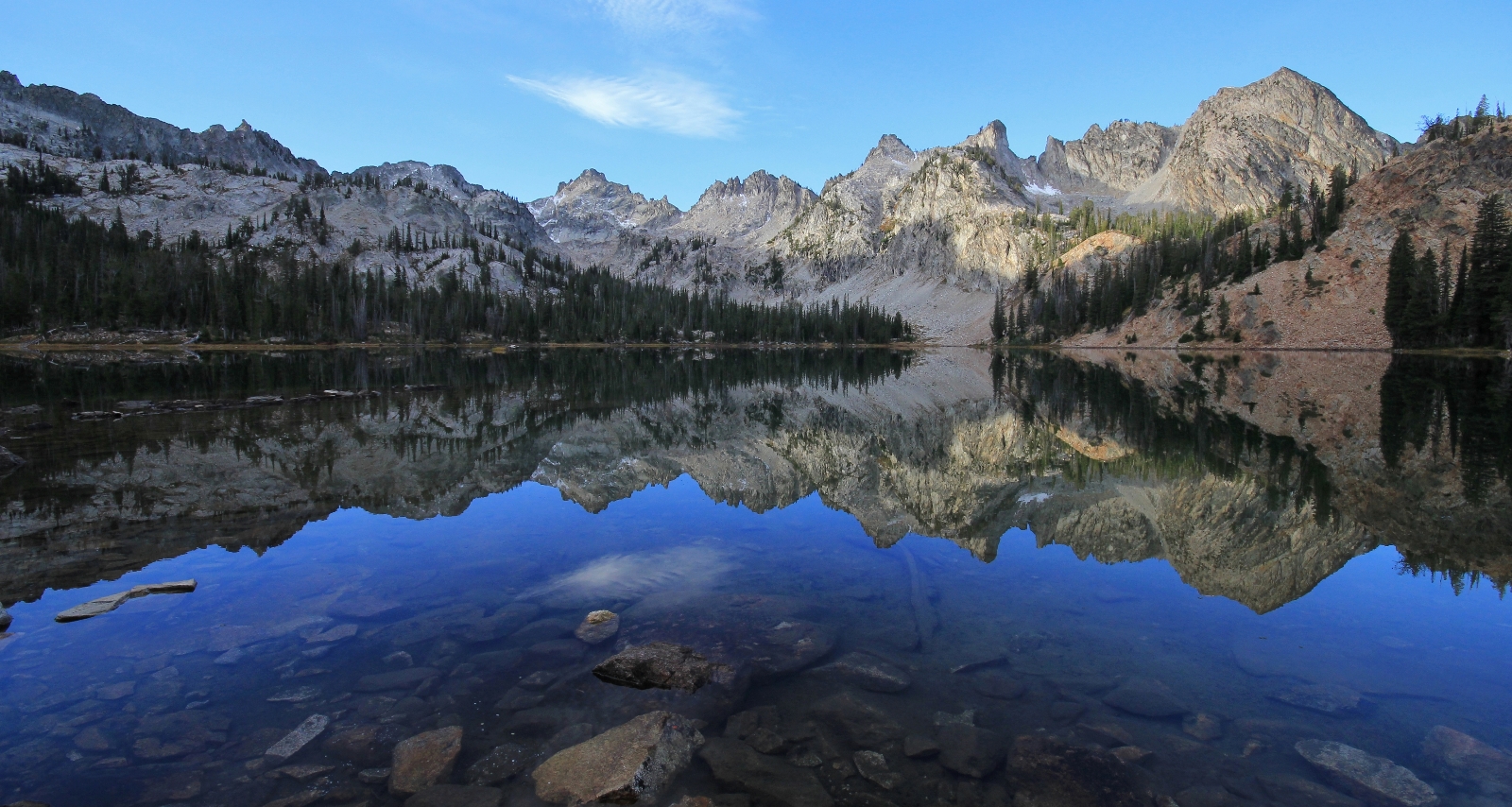
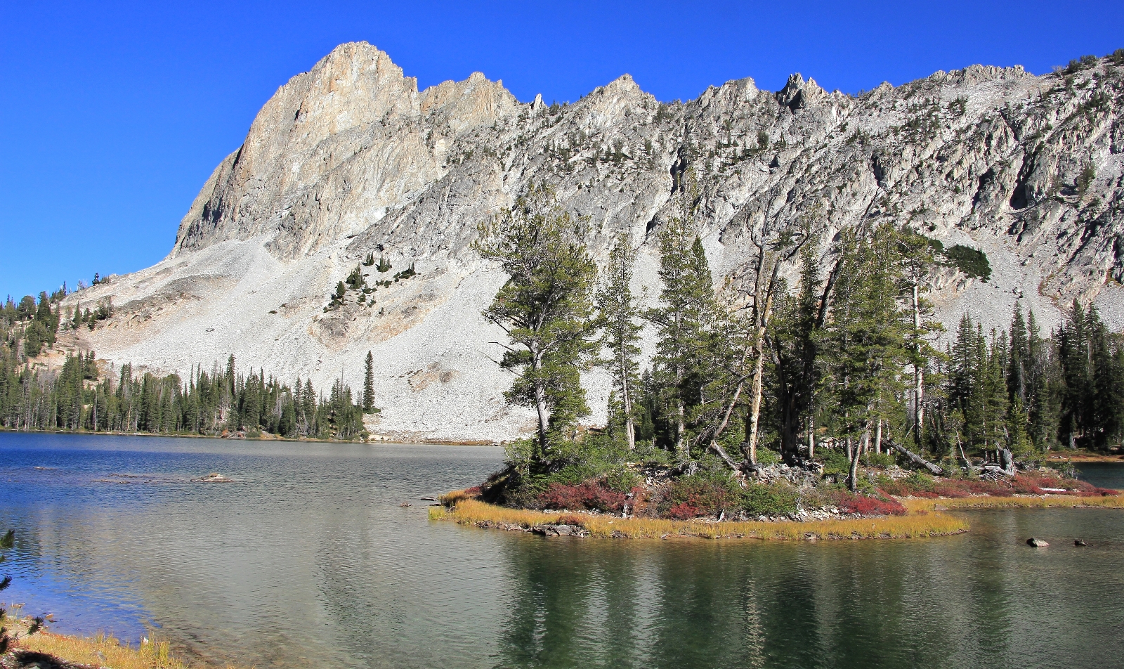
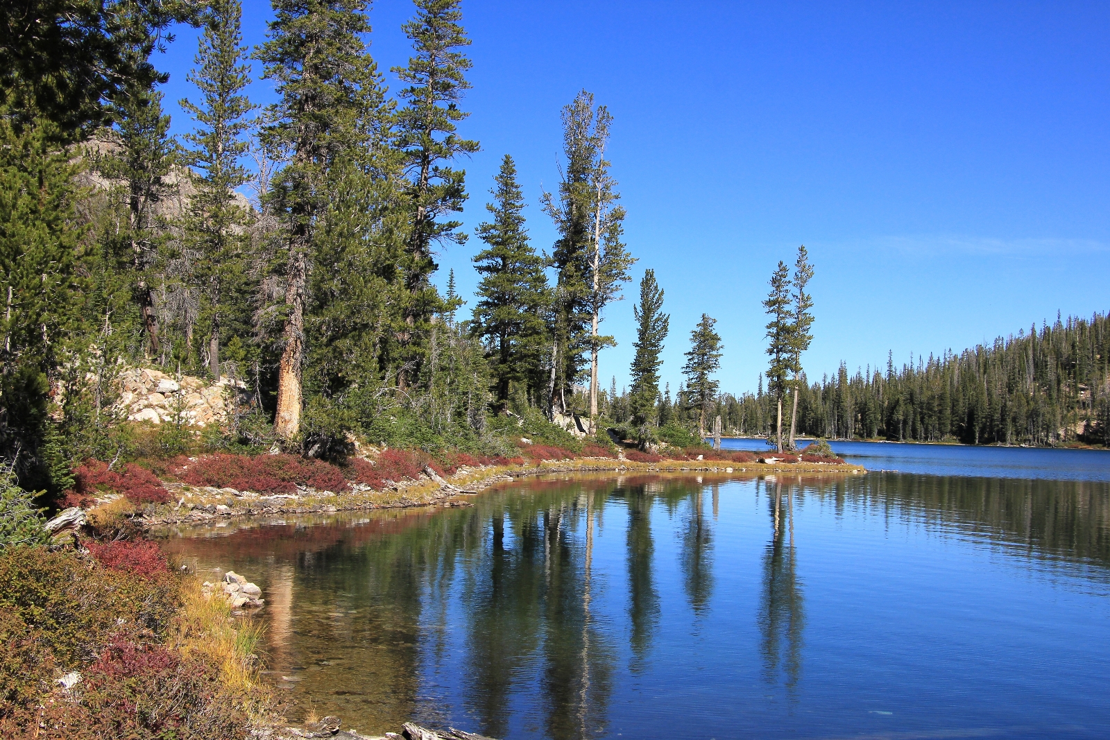
It took a bit of wandering around on hiker trails, but we found ourselves on the very tip of a large peninsula on the north side of the lake. It was breathtaking. To the left, El Capitan towered above the lake’s outlet. Flaming red huckleberry bushes lined the shoreline. In front of us, a few small islands were just a stones throw away. To our right, rugged peaks lined Alice’s western shoreline- the most stunning backdrop we had ever seen. There wasn’t anyone else on the lakeshore. We had our pick and we couldn’t imagine a more perfect spot. This would be the spot to be at sunrise the following morning.
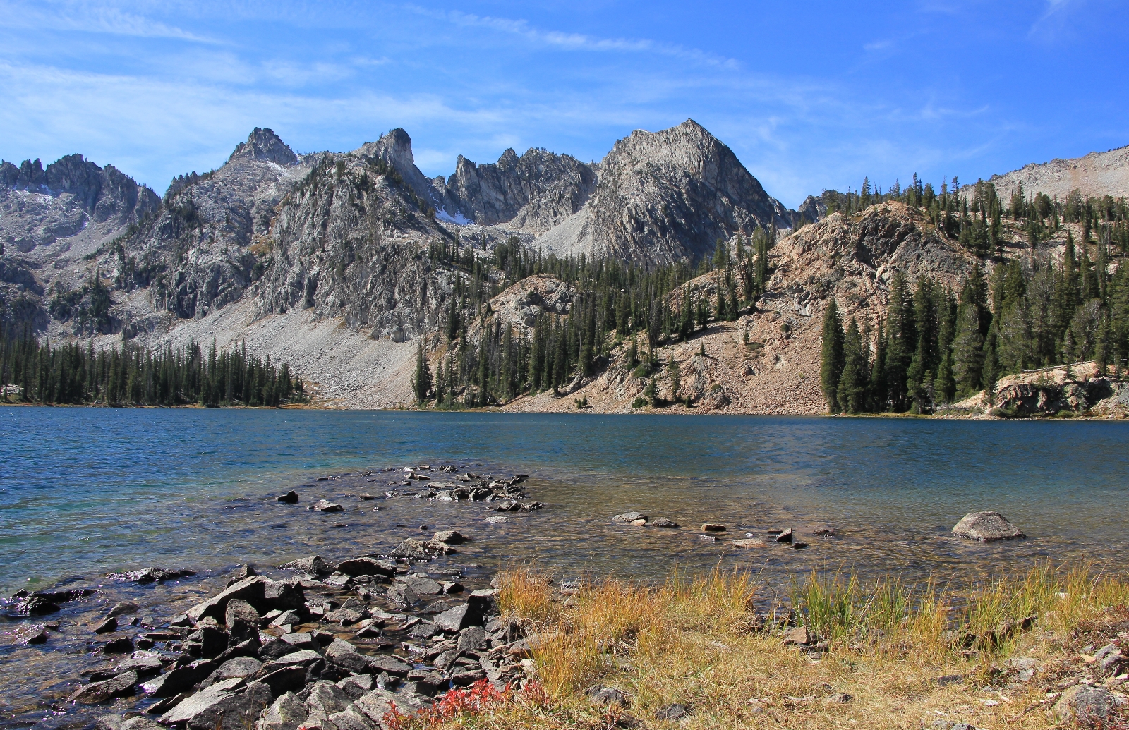
views from camp
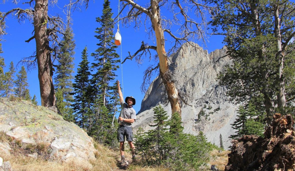
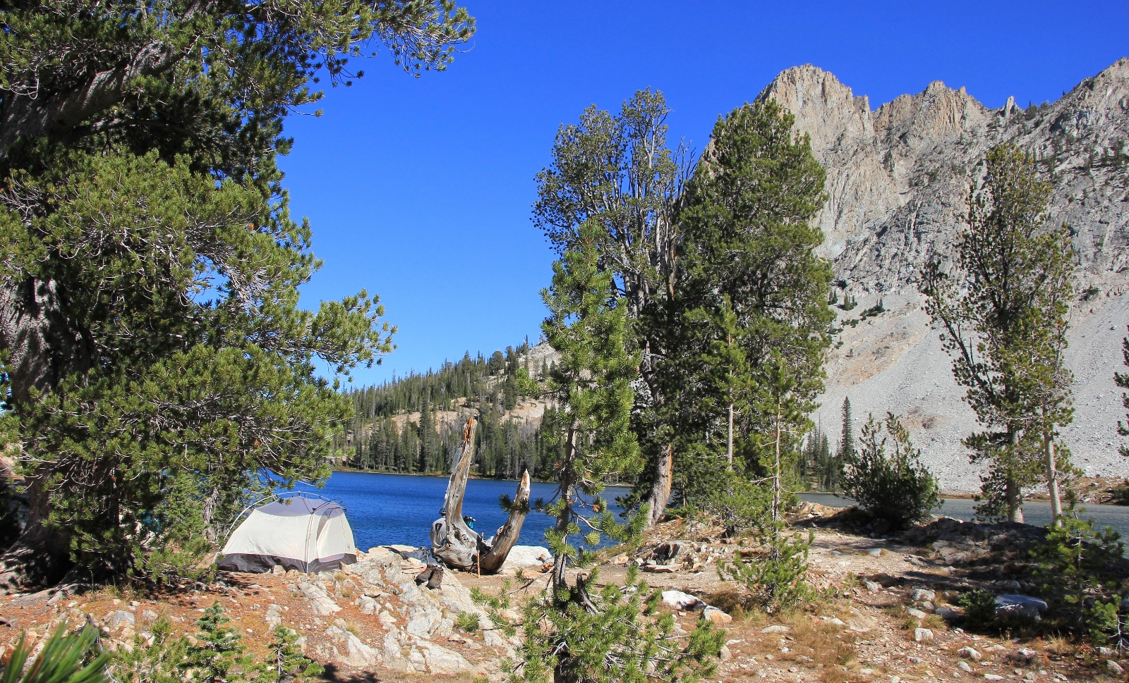
 We had a snack and then went to work getting camp made. We set the tent up and then I worked on beds while Jason went in search of a tree to hang the bear bag.
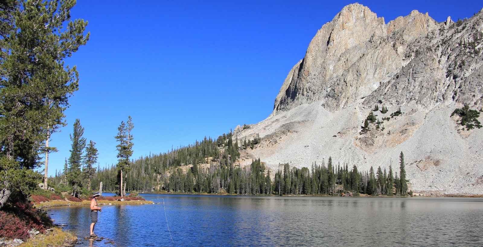
After getting camp set up, Jason assembled his fly fishing gear and we spent the rest of the afternoon exploring the north side of the lake. It was a beautiful afternoon with temperatures in the mid-60s and a steady breeze that made fishing a bit difficult. By the end of the afternoon Jason declared, “there are no fish in this lake!” I did, however, see mergansers and king fishers, so I knew there had to be some fish.
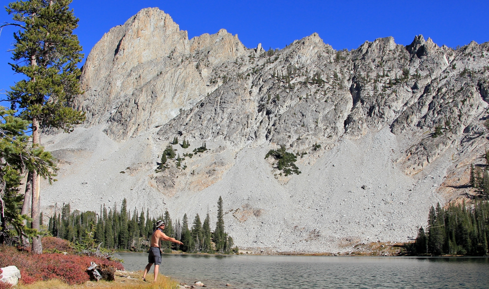
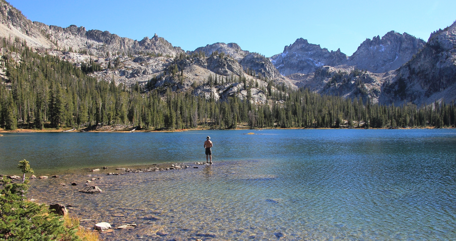
Before dinner, we had a couple come out to our campsite. I think they had been hoping to set camp up there but found us. They sat along the shoreline and we chatted for quite a while. They were newlyweds from Montana. He had spent a lot of time backpacking and hiking in the Sawtooths as a kid since his family had a cabin at Smiley Creek. They debated staying the night at Alice or hiking all the way back to Pettit. If they stayed, we didn’t see or hear them again.
We enjoyed a dinner of dehydrated meals with the most beautiful lakefront view we could imagine. Jason had a white bean chicken chili that was pretty good. I had thought mac and cheese would hit the spot for the cold evening, but it was by far the worst dehydrated meal I had ever tried!
Shortly after dinner, while we were hanging our food, another couple came nearby looking for a campsite. They asked where we were and said they would find a spot a nice distance away—man do I love the fall backpacking crowd! I’m not sure where they camped, but we didn’t hear or see them again at Alice Lake although we would see them two days later down by Farley Lake.
By 6:30 the sun dropped behind the peaks and the temperature started to plummet. We layered up in our fleece and enjoyed our lakefront seats for a while. By dark headed into the tent and our warm sleeping bags for a little reading before bed.
September 24: As typical we were awake well before first light, but waited until close to daylight to get out of the tent. We layered up and exited the tent around 6:30 to find 32 degrees and partly cloudy conditions. We got coffee going and I watched as the first hints of daylight appeared on the horizon.
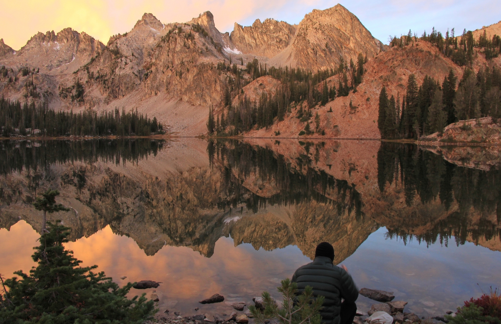
By 7:00 it was looking like we might have a beautiful sunrise. Toward the outlet of Alice Lake and just to the left of El Capitan, colors were starting to develop. By 7:15, the eastern sky was a blaze of deep pinks and purples and I fired off a bunch of reflection shots in that direction.
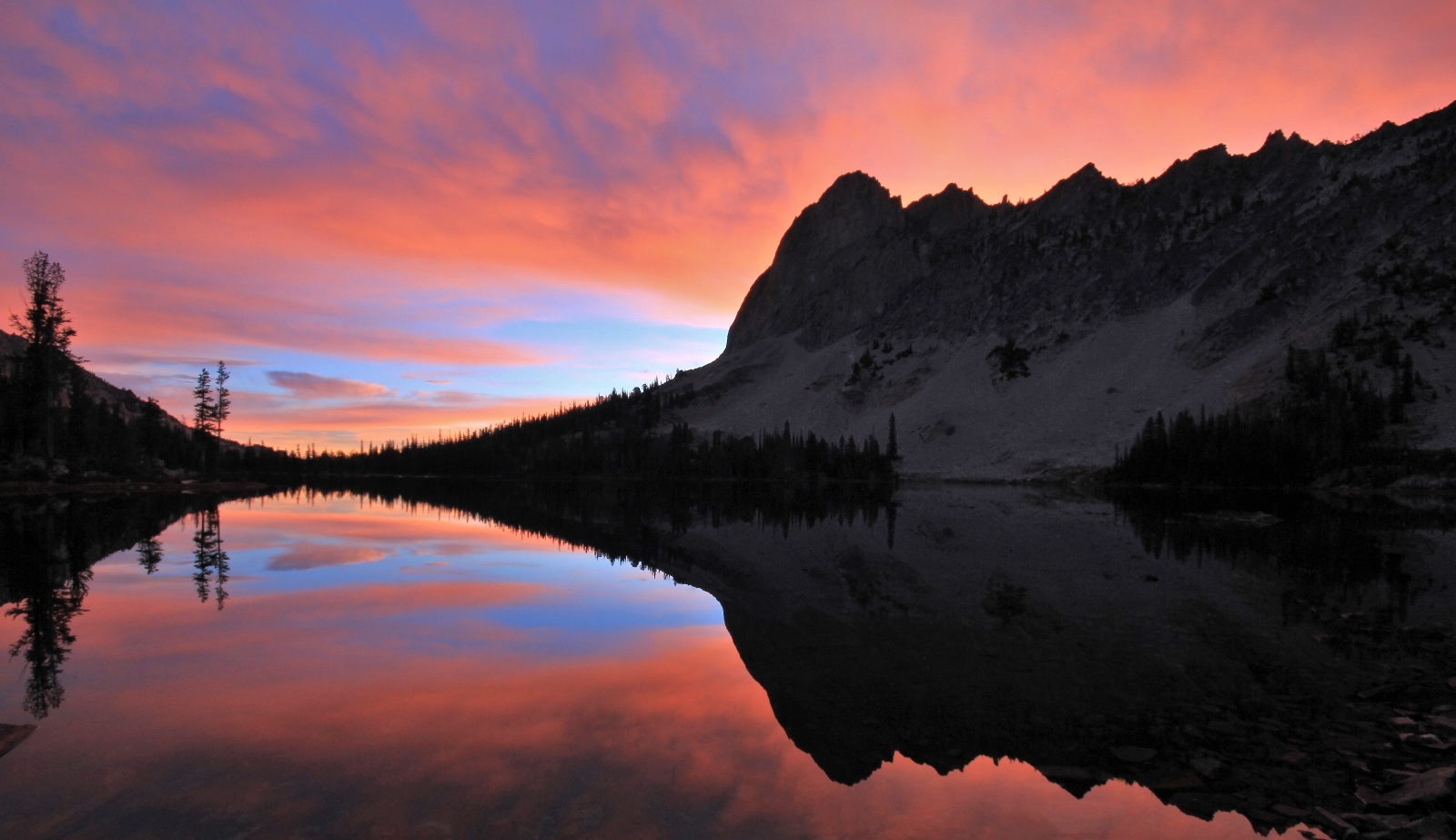
By 7:25, the show shifted to the west and the peaks above Alice were glowing in soft oranges and pinks. There was zero wind and I was in heaven as I snapped away and tried my best to capture the magic in front of me. Even Jason was impressed by the beauty of it all.
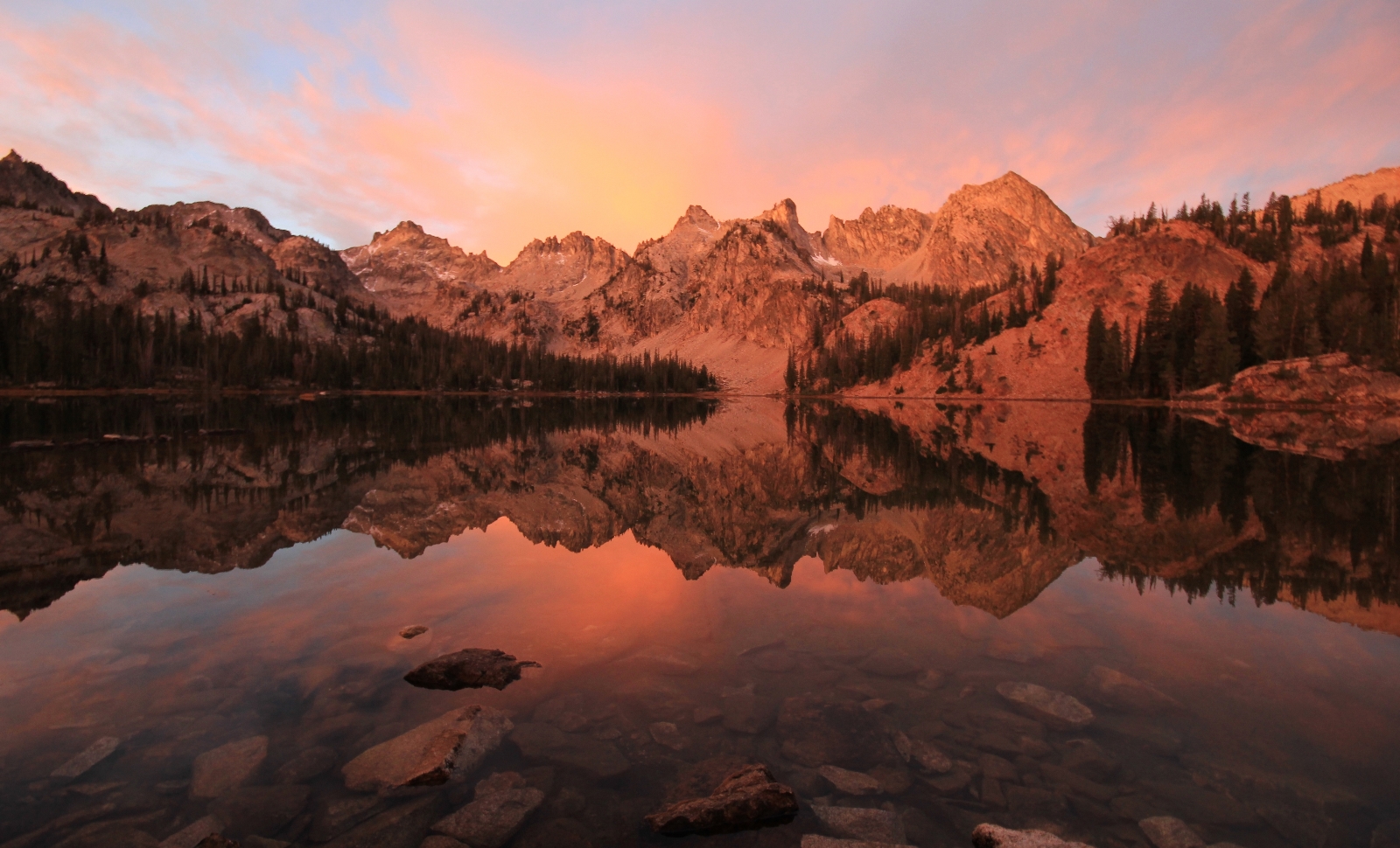
In between the colors, we had our coffee and breakfast. The menu for the morning was dehydrated breakfast skillets for both of us—a hearty meal for a full day out on the trail. I’d eat a few bites and then shoot a few pictures. Wow—this is why I backpack! And we couldn’t have had a more perfect spot on the lake that morning. We didn’t hear or see a soul, the sky was colorful in both directions, and zero wind made for beautiful reflection shots. It is hard to imagine that I’ll ever witness a more perfect moment.
We packed up camp with my periodically dropping everything to shoot a few more photos. My photography delayed our start and we didn’t hit the trail until 9:30. Fortunately that wasn’t a problem since we only had about 6 miles to cover for the day. By now conditions were mostly sunny and temperatures warmed quickly (they would once again top out in the low 60s).
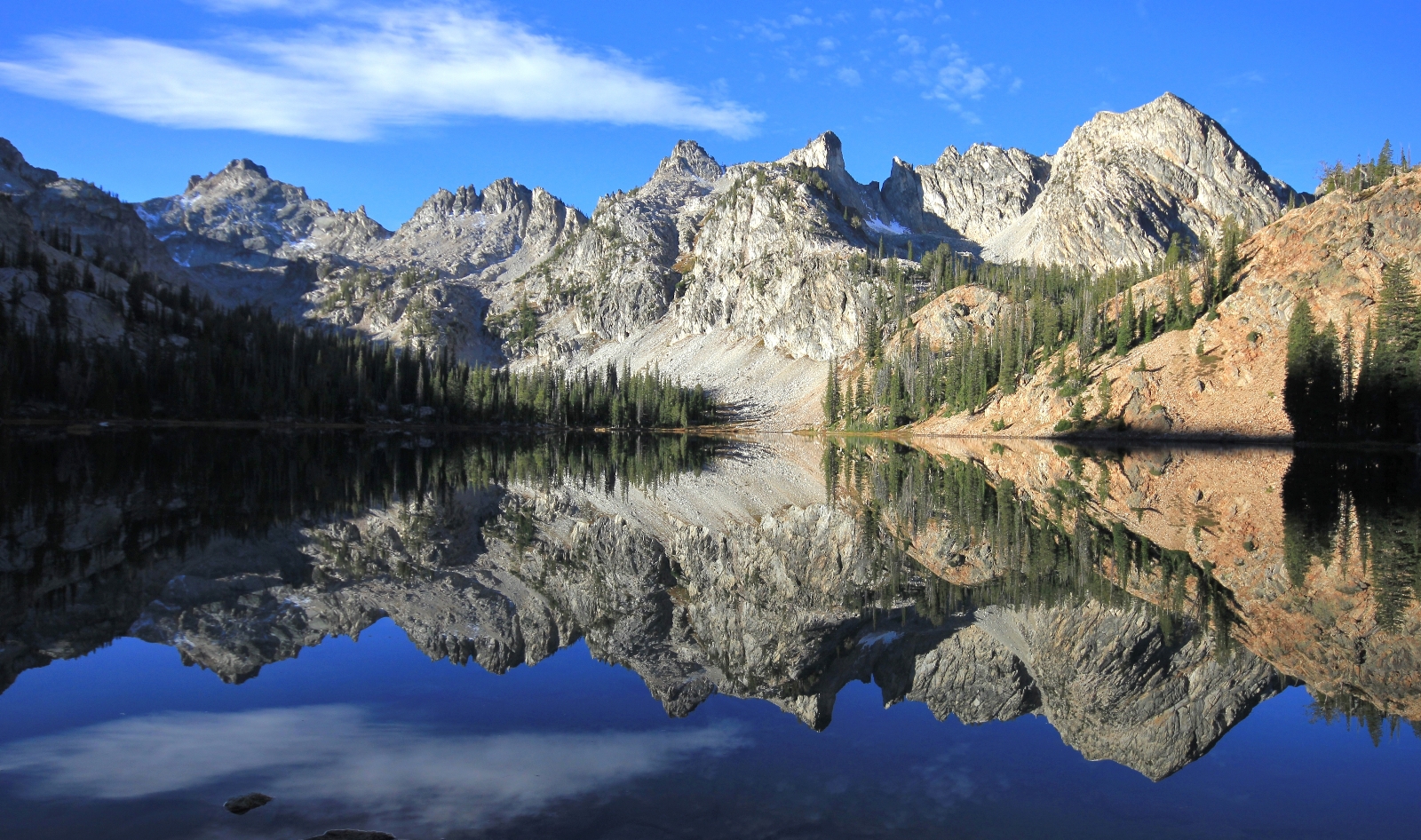
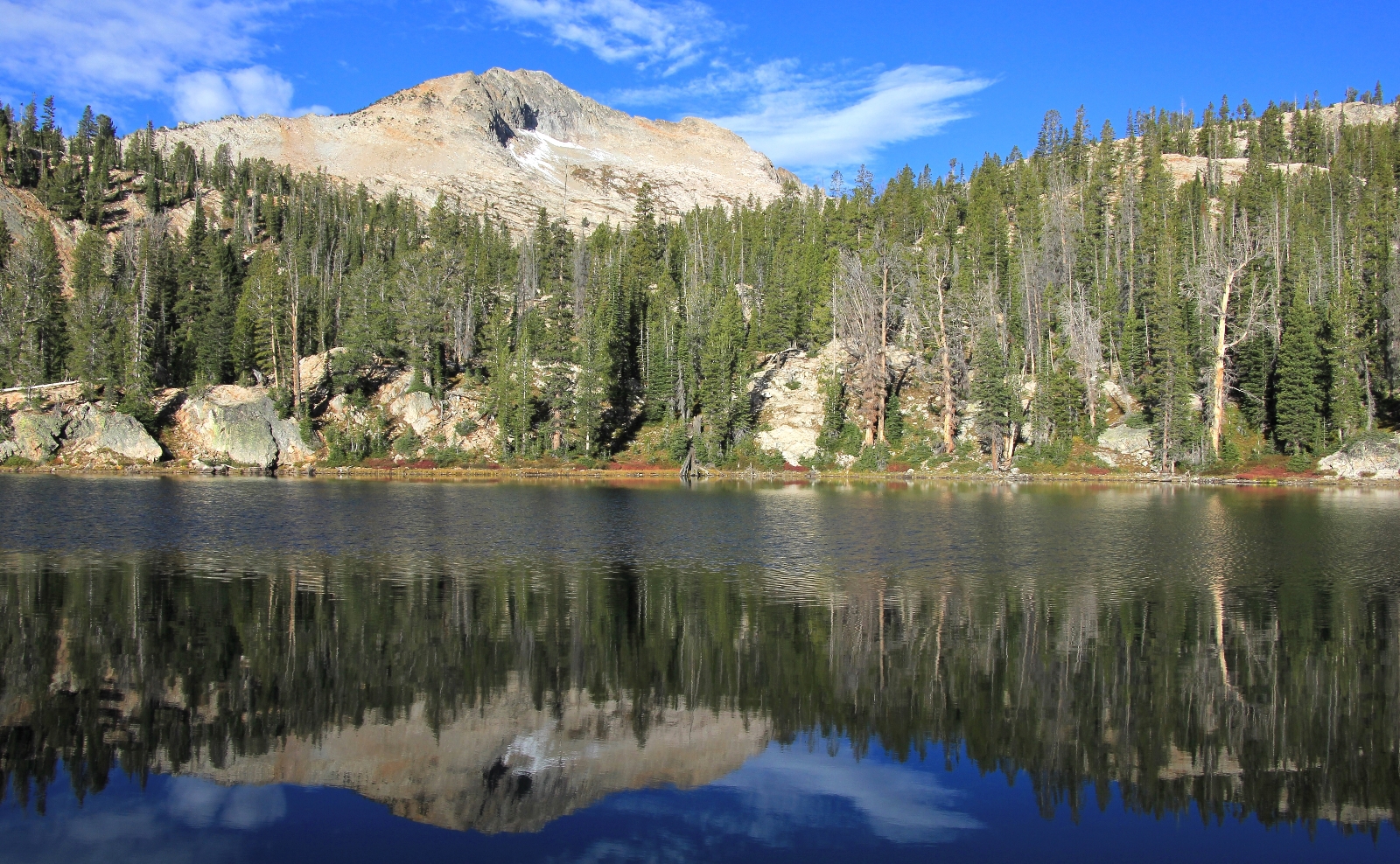
We headed inland away from our beautiful little peninsula camp and hit the main trail. We turned northwest, away from Alice Lake, and began our climb toward Twin Lakes and Snowyside Pass. The climb to the pass was about 800’ gain in elevation over about 1.5 miles, but the trail was well graded the entire way. It never felt very steep and we progressed nicely despite the high elevation. We hiked through forest along nice trail for about ¾ mile before views started to open up of Twin Lakes below us on the left as we climbed above timberline. Twin Lakes looked like they would also be a nice place to camp. The views would be nothing compared to Alice, but still very beautiful and I imagine it would be much quieter there on busy summer weekends.
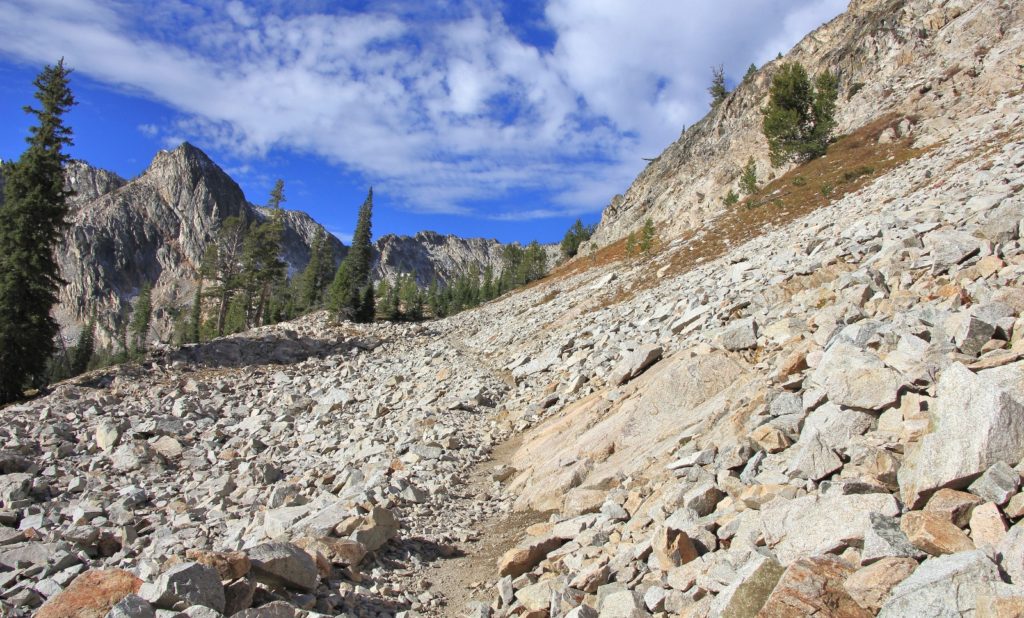
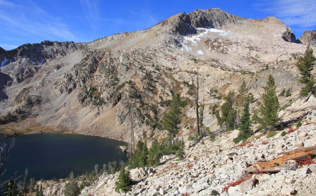
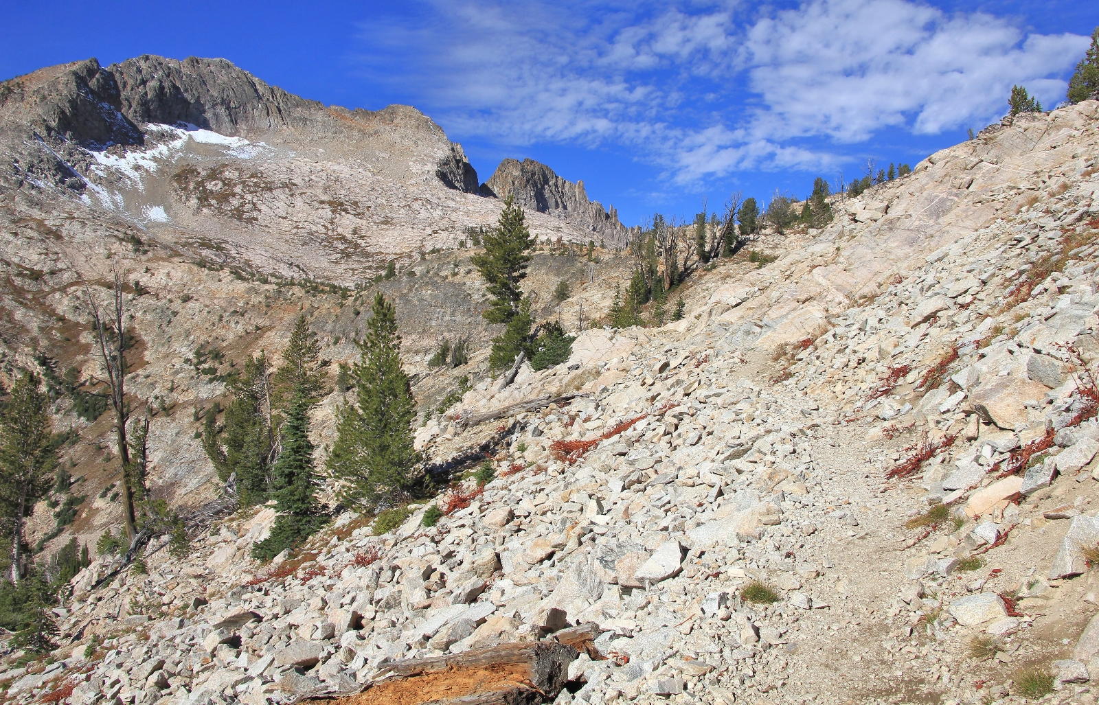
It was roughly another mile climb to the pass. Sections of the trail were rocky and a few spots a little narrow. I could see where this stretch of trail could be difficult in snow, but we didn’t have any problems.

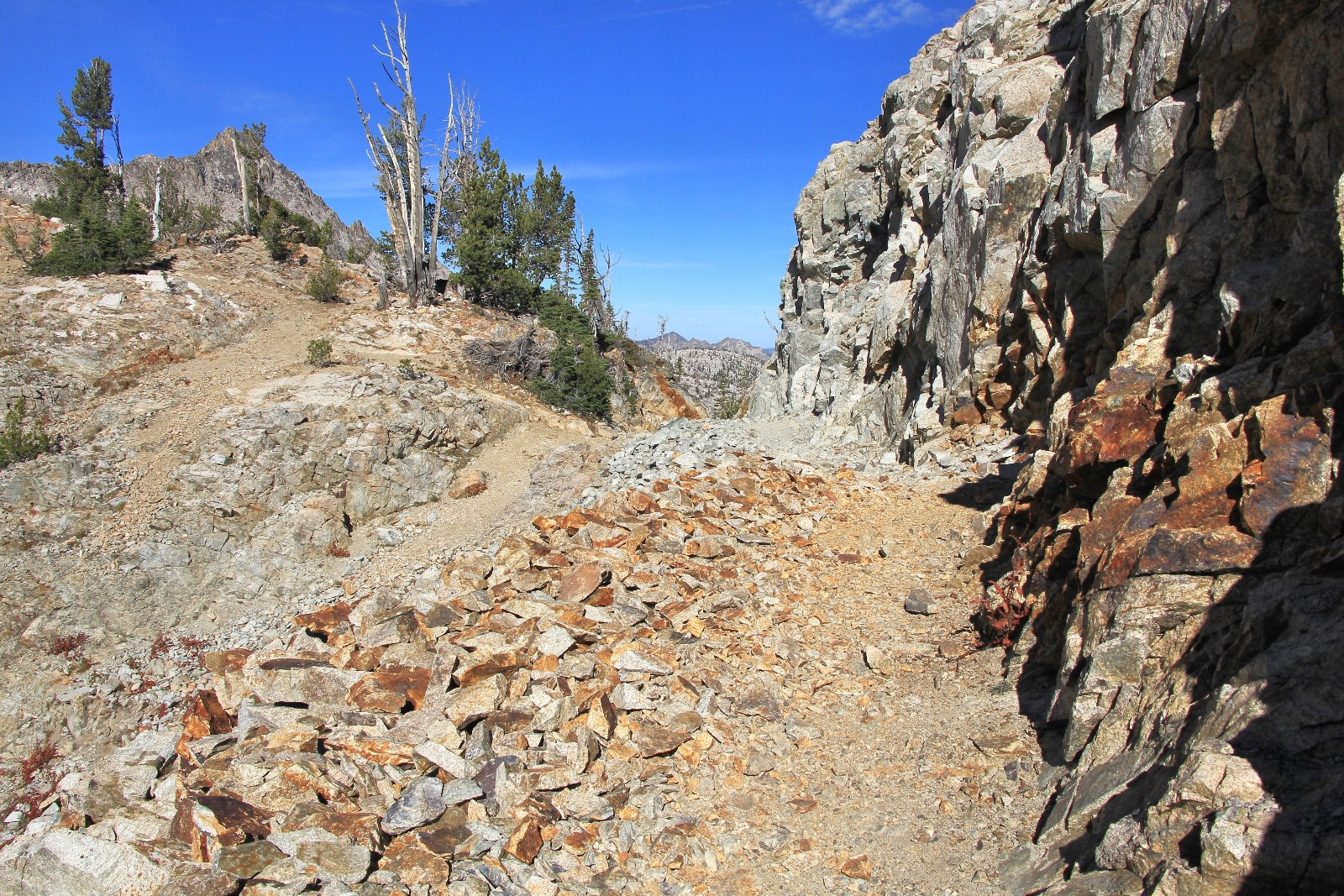
The top of the pass at 9,400′ was stunning as it passed by some cliff walls and through a notch. Views in front of us, as well as behind toward Twin Lakes, were beautiful and far reaching. We hit a few patches of snow alongside the trail—not much, just enough to say we saw it.
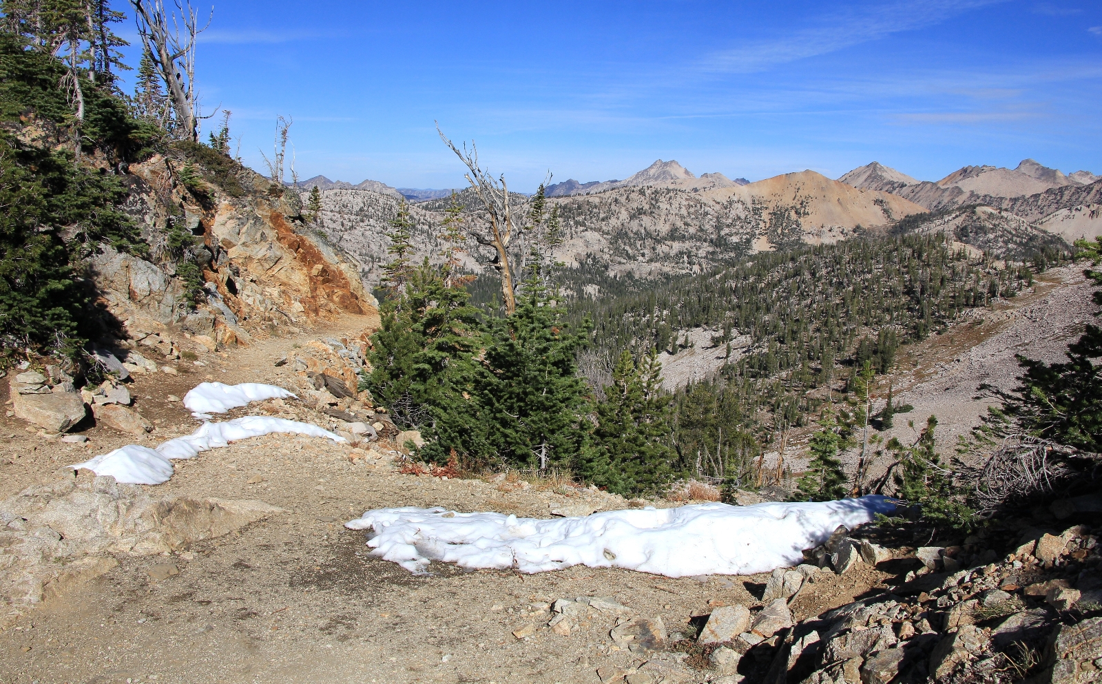
Immediately after hitting the pass, we could see a series of small lakes that we would pass before Toxaway Lake. These were beautiful little Sawtooth gems. The descent down off the pass seemed steeper than the ascent, but it was well graded and a stunning stretch of trail.
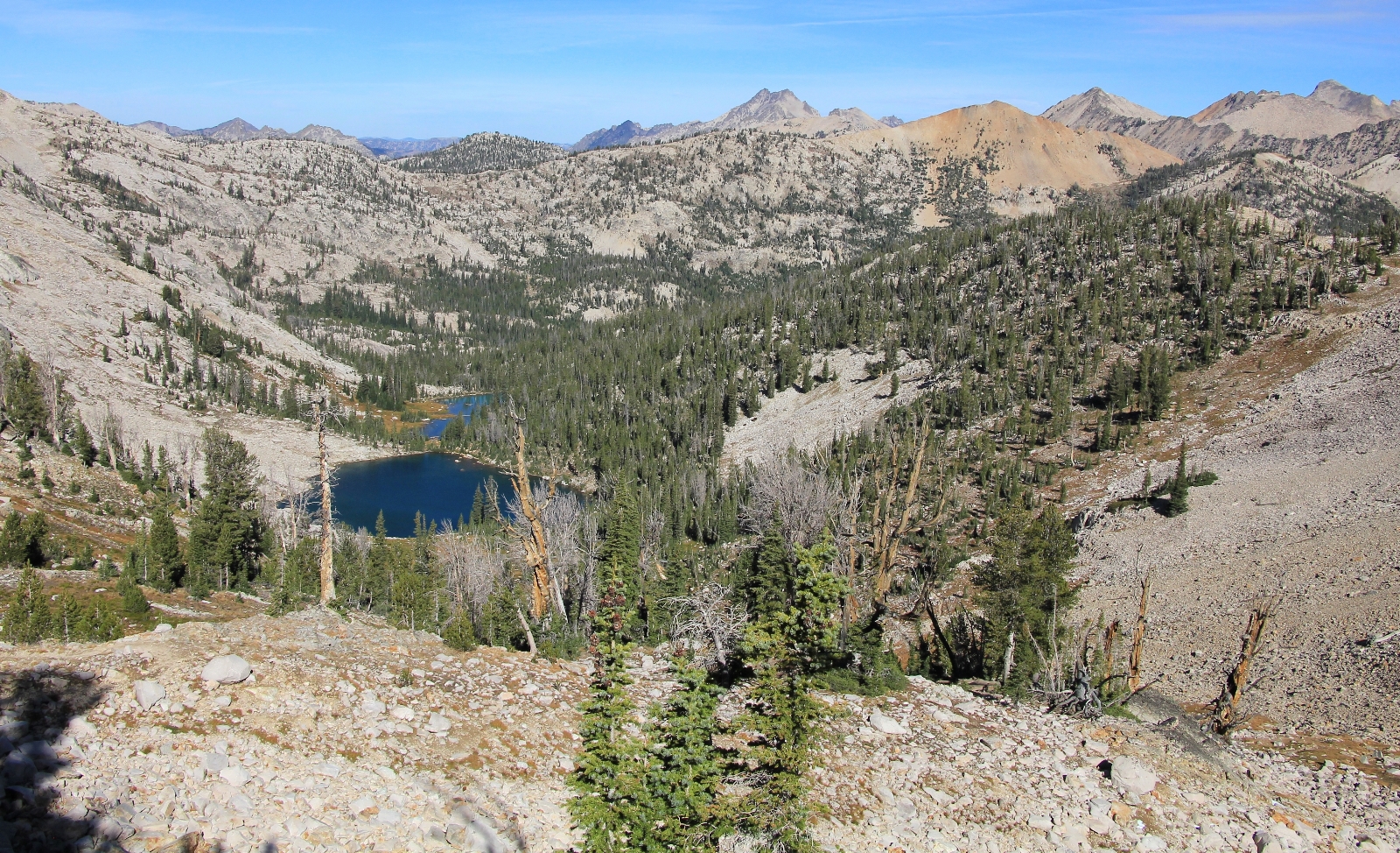
As we worked our way down toward the lakes, we encountered a man coming the opposite direction. He appeared to be in his early 60s with what sounded like a Russian accent. He referred to the small lakes we were nearing as Toxaway and said he and a friend had day hiked over from Alice. I didn’t have the heart to tell him that Toxaway was a couple miles further. A short distance later we met up with the hiking partner. He looked to be in his 50s and mentioned (in between gasps for air) that he thought his buddy was trying to kill him.
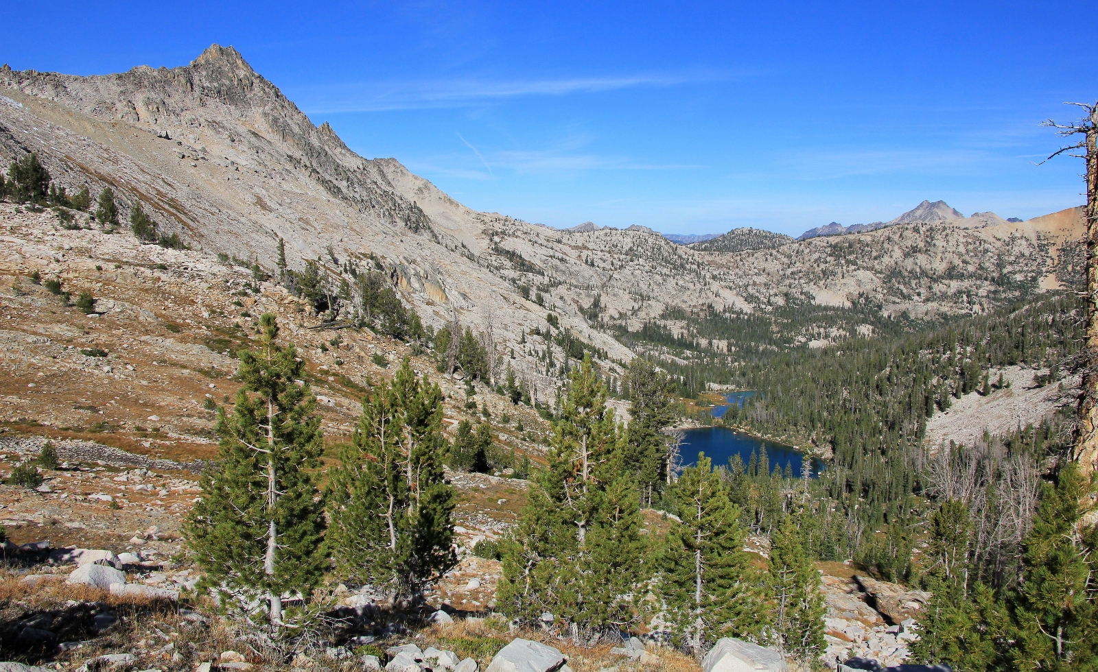
After roughly a mile descent, we reached the first of the lakes at about 11:45. This was the largest of the group. The trail was a little ways above the lake, so I couldn’t tell if there were camp sites, but I suspect that there weren’t.
The trail bottomed out at the second lake which was significantly smaller than the first. Access off the trail was easy, so we stopped here for a snack break. It was quite beautiful and I believe you could make camp here if you wanted. The last and smallest of the three lakes had the green, cloudy color of a glacier fed lake more so than the other two. I didn’t see any campsites here, but it looked like a few areas might be flat enough.
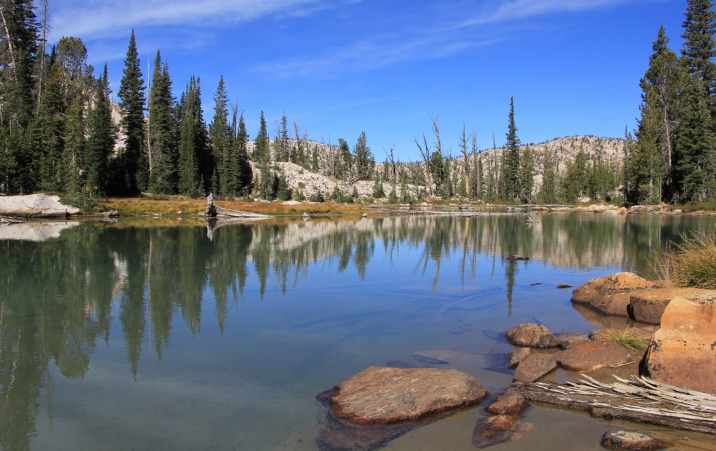
From these lakes it was a little over a mile down to the inlet of Toxaway Lake. We continued to drop, but the trail was well graded. Through the trees we had beautiful views of the outlet stream from the small lakes coming down into Toxaway. In places the stream came down in beautiful cascades over granite rocks.
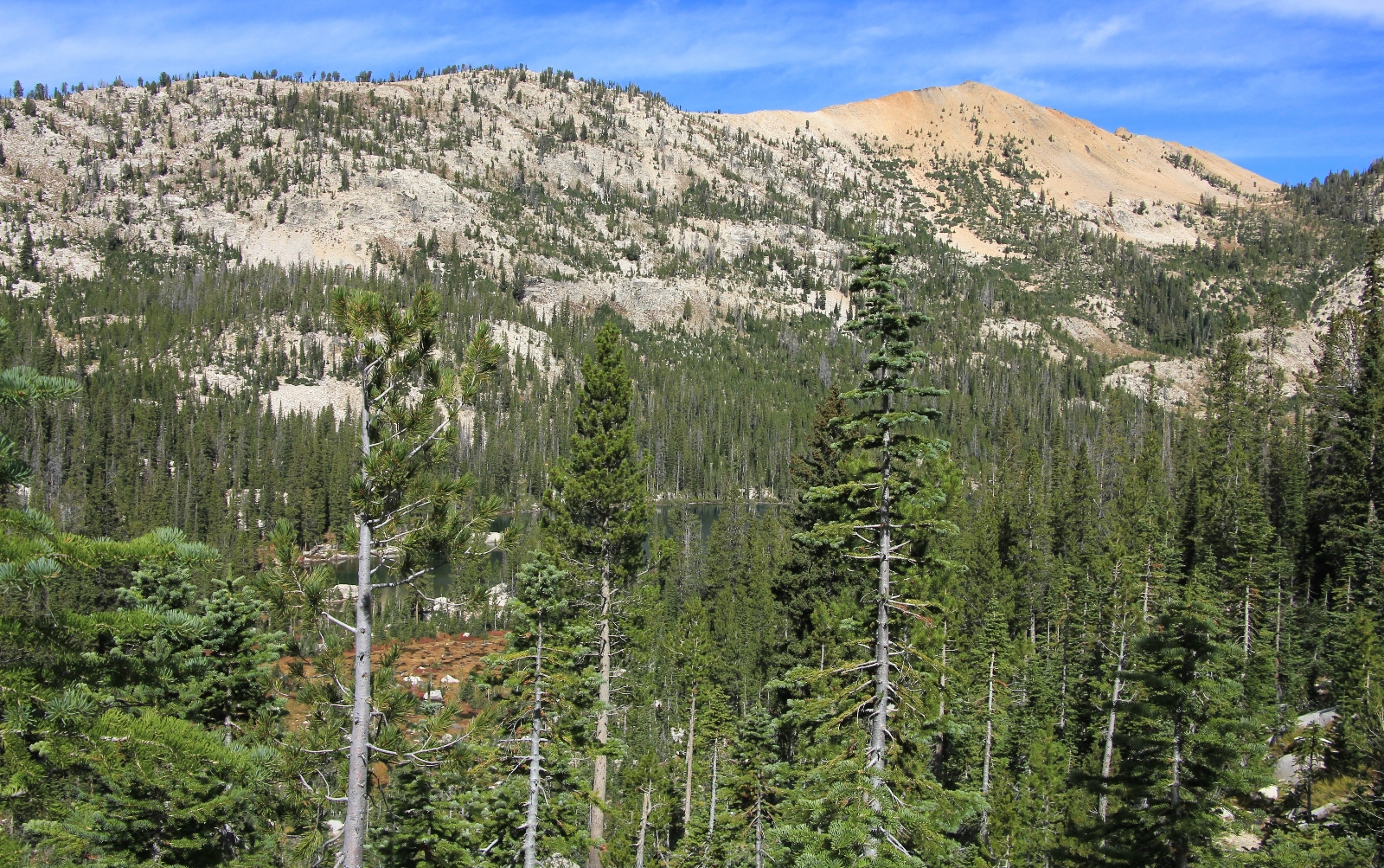
We reached the inlet area of Toxaway Lake around 12:30. This area looked like it would be very marshy in the early season. There were a few campsites here, but they were away from the water and did not have views. We passed a few side trails to the right that likely went to campsites, but we continued on the main trail.
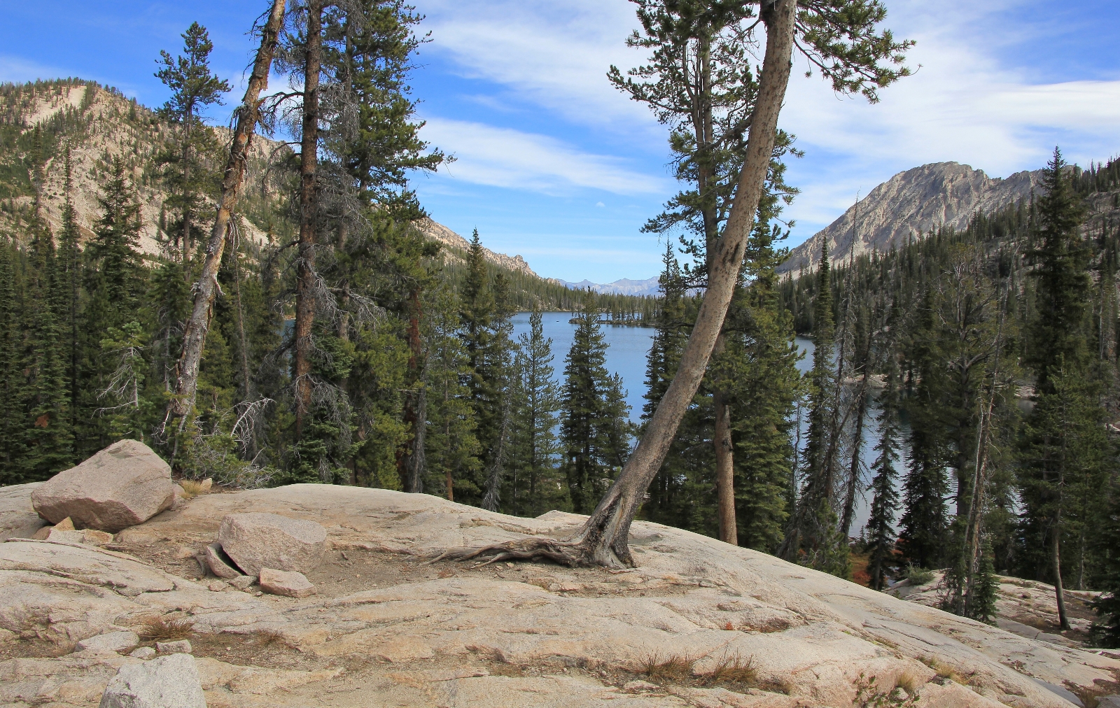
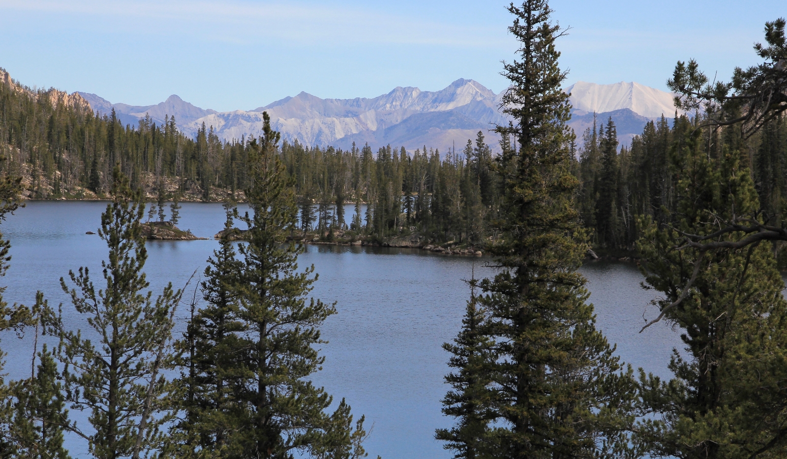
The trail followed along the north side of Toxaway. Almost immediately, the trail climbed a bit and we were a ways up off the water for almost all of the roughly 1.5 mile length. By now, it was starting to cloud over and we’d have cloudy conditions the rest of the afternoon (the only cloudy day we’d have all week).
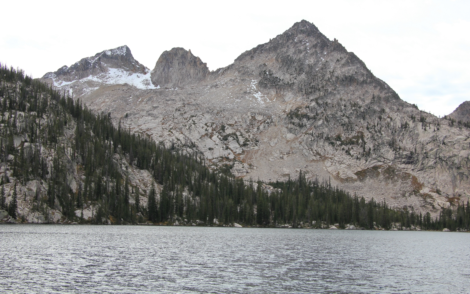
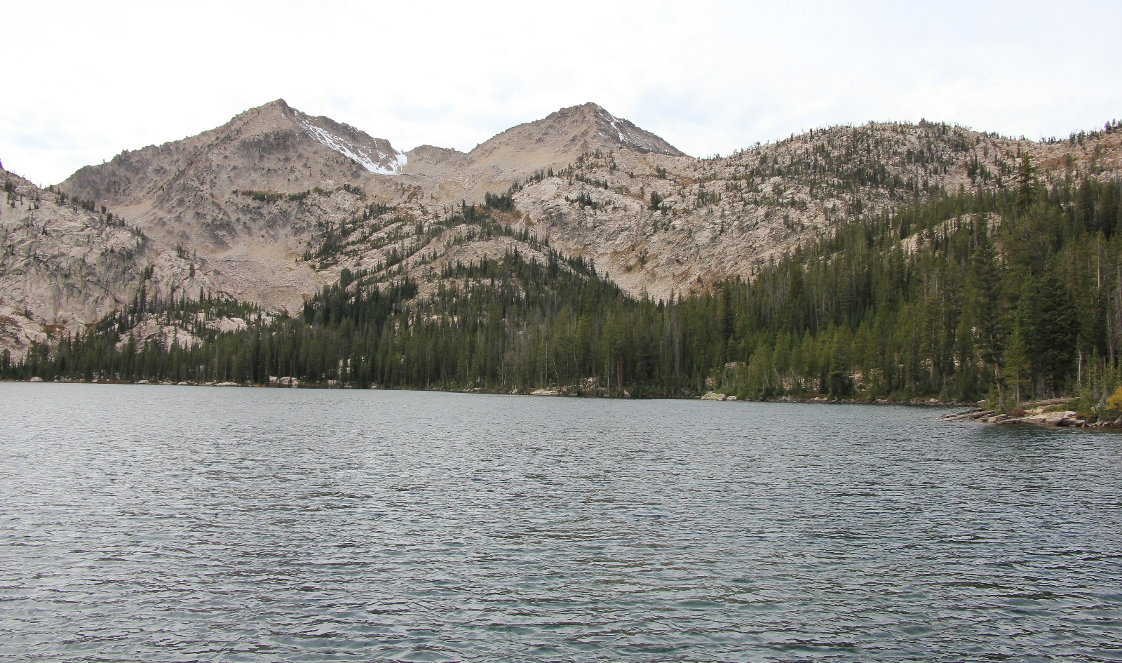
We saw a few campsites about half way along the lake, but Jason didn’t think the area looked very fishy, so we continued on. Before long we were at the end of the lake. Here we found a faint trail that looked like it might head toward the outlet. Jason followed it down to check the area out. After a short wait he hollered for me to come join him.
Jason had found a lovely campsite up on some rocks just before the outlet stream at 8,343’ elevation. Views toward the western end of the lake were nice and we wouldn’t have neighbors unless they camped right on top of us. It had been a nice morning of hiking the 6.0 miles up and over Snowyside with 800’ elevation gain and about 1,050’ loss. We dropped our gear and went to work setting up camp.
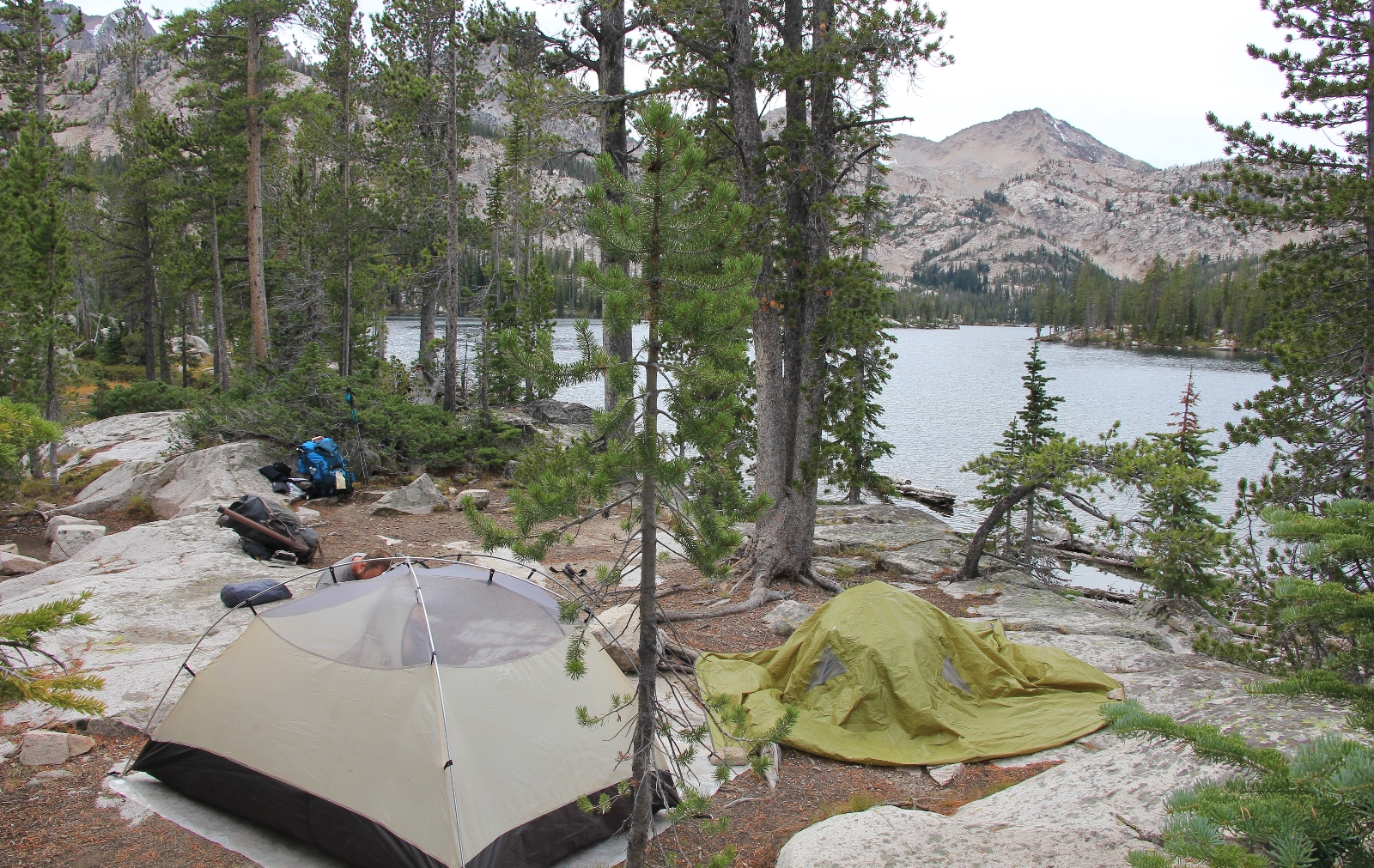
By 2:30 we had camp set up and Jason set off to do a little fishing. Conditions were cloudy for the rest of the afternoon, but started to clear a bit before dark. Fishing wasn’t much better here than at Alice Lake. As the afternoon progressed, we saw a lot of fish rising, but they looked tiny. Late in the afternoon, I heard a few voices passing by on the main trail. We didn’t see or hear anyone else the rest of the day.
Our favorite spot at camp was on a rock perched above the lake near the outlet. We had our dinner there and spent the evening enjoying the views. While the view wasn’t as stunning as at Alice, the perch above the lake was nice.
September 25: Jason turned on his headlamp at 5:40. It was still pitch black outside. I tossed and turned for a while and we chatted about A Walk in the Woods which Jason was reading. We finally got out of bed about 6:15 as the first hints of daylight were appearing. It was that magical time of day when you could see the dawn approaching, but the stars were still out. It was 42 degrees, our warmest morning yet. I don’t know if anyone had camped elsewhere on the lake, but it appeared that we were the only souls around.
As the sun rose, the sky was clear but there was a slight breeze. Throughout the morning, I got some decent reflection shots of Toxaway, but nothing like what I got at Alice Lake. Toxaway is a huge and beautiful lake, but it is no Alice. We had coffee and oatmeal for breakfast while perched on our rock above the lake.
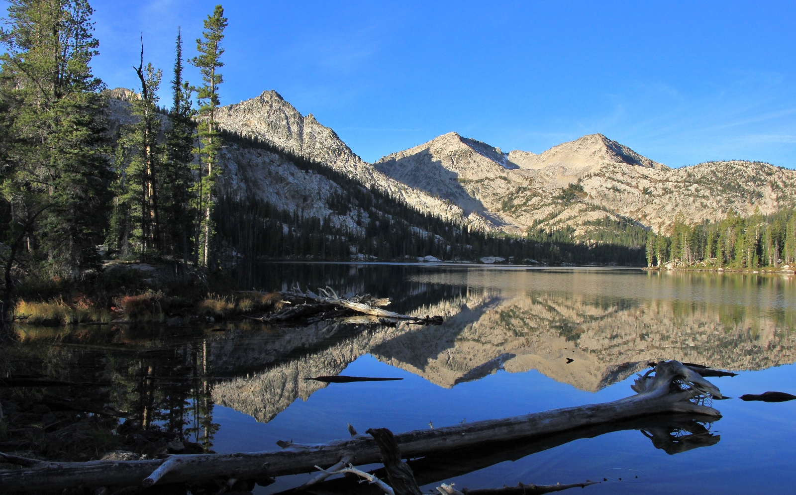
We broke down camp and hit the trail around 9:00. The trail descended from Toxaway Lake as temperatures quickly rose. The outlet stream from Toxaway was near the trail and we would catch glimpses of beautiful little waterfalls and small lakes. There were a few camp spots along the way.
At about a mile or so past Toxaway, we came to a beautiful little waterslide that we could see through the trees. We made a beeline off trail and stopped here for a break. We hadn’t been on the trail long, but this spot was too beautiful to pass up. After a little exploration, we realized we were right above a small lake. I’m not sure if this was the lake my map identified as Bowknot, but it was beautiful. There were 3 very nice camp sites here. Jason and I agreed that we’d prefer to camp here over Toxaway in the future.
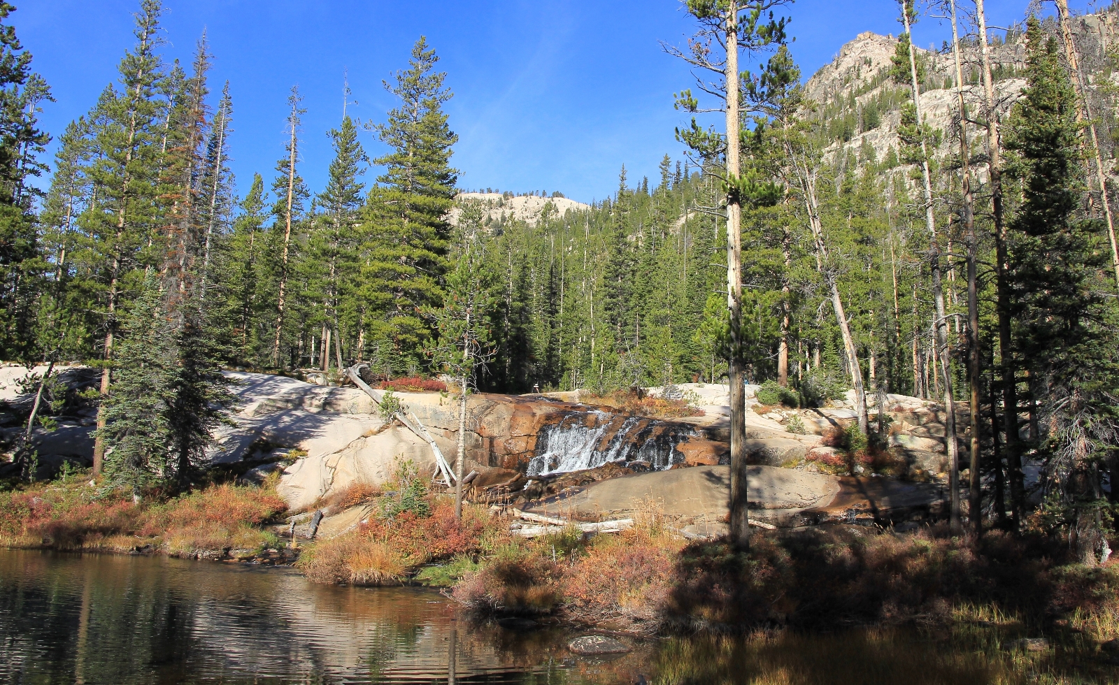
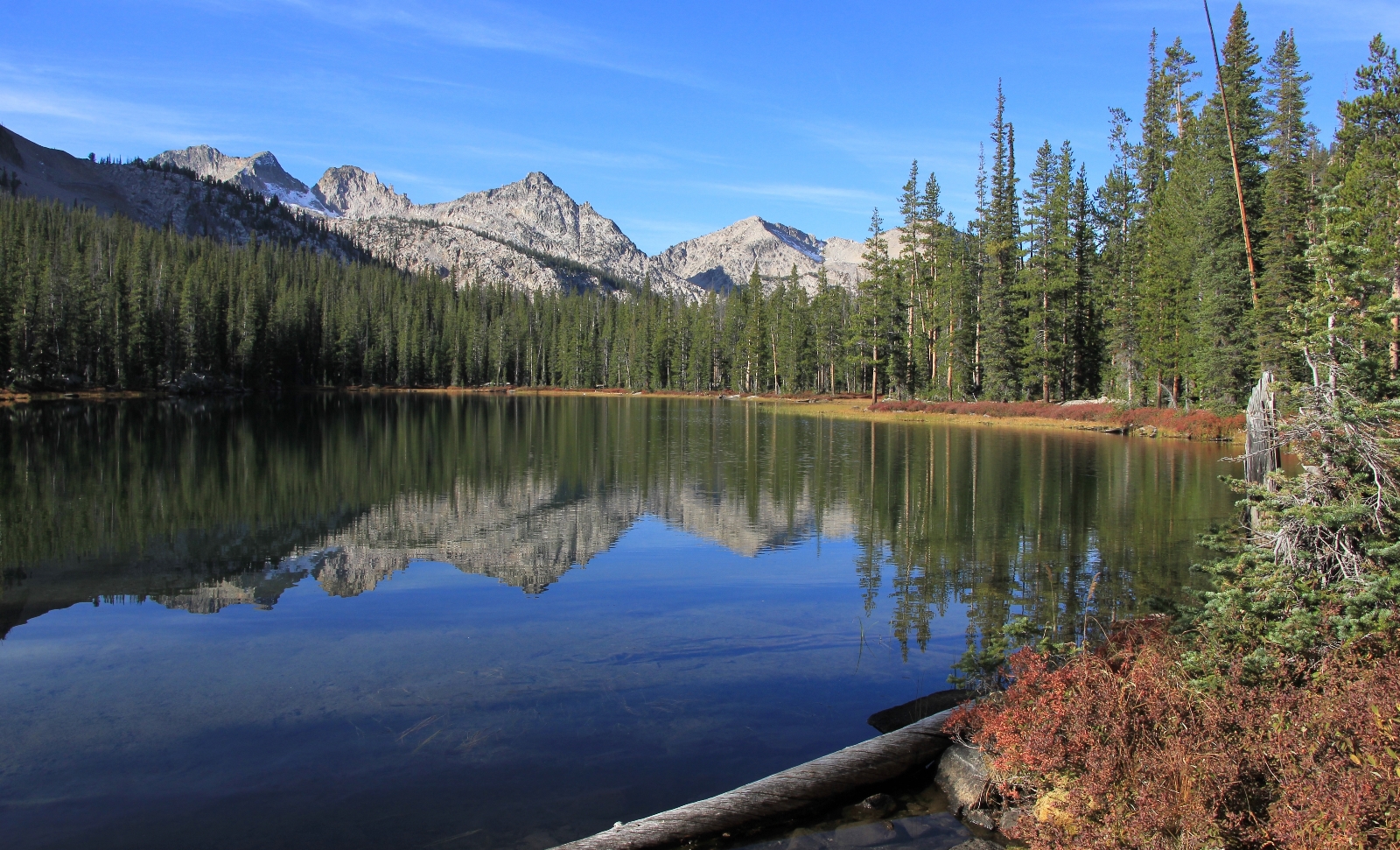
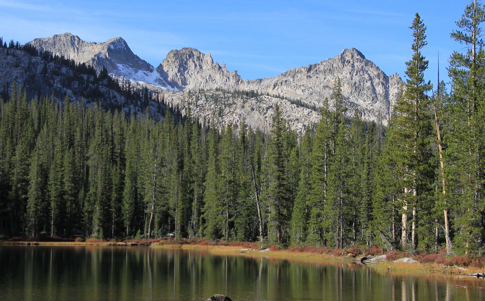
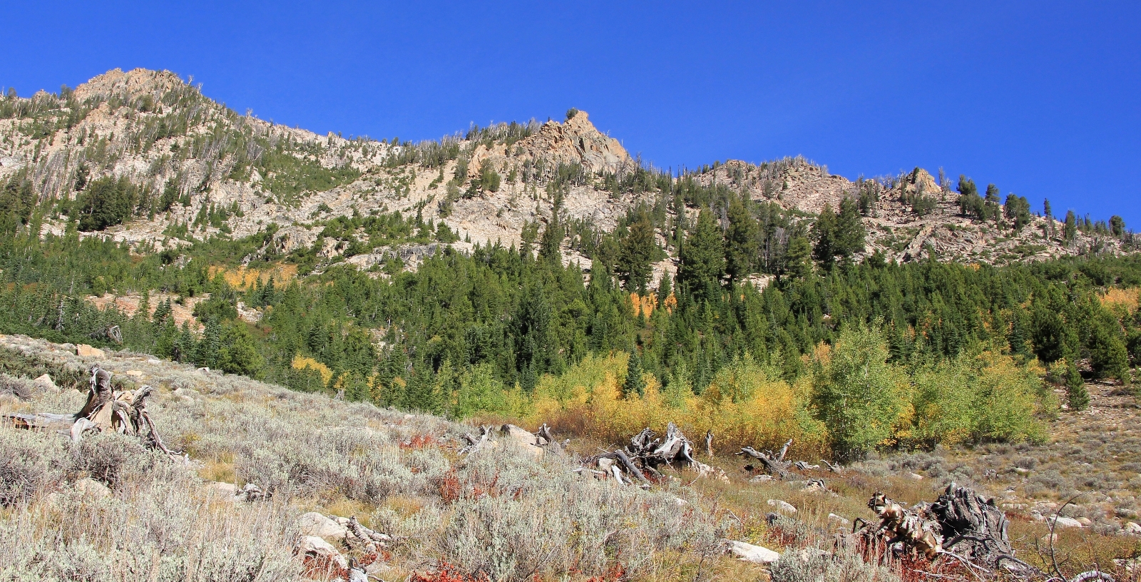
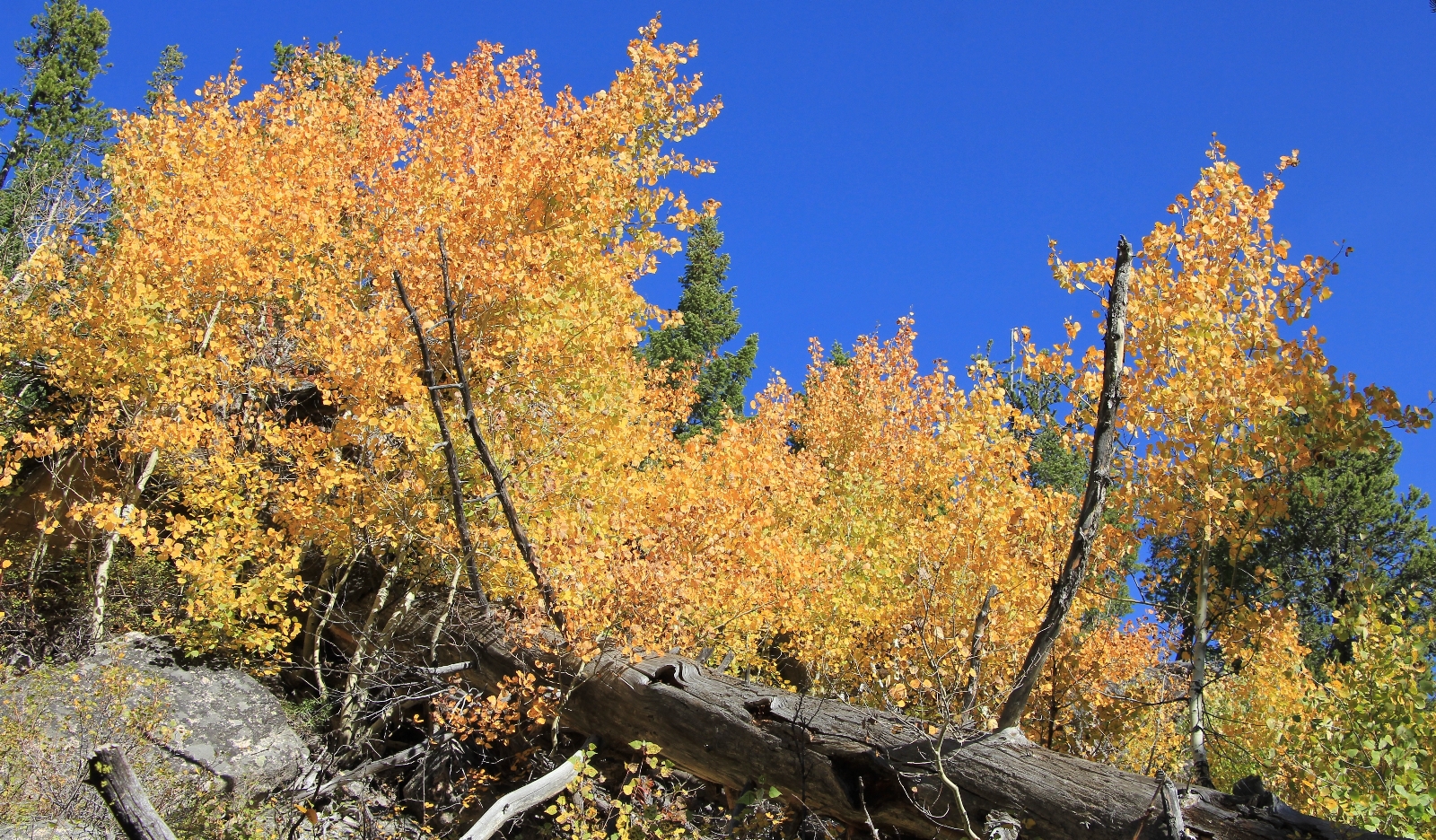
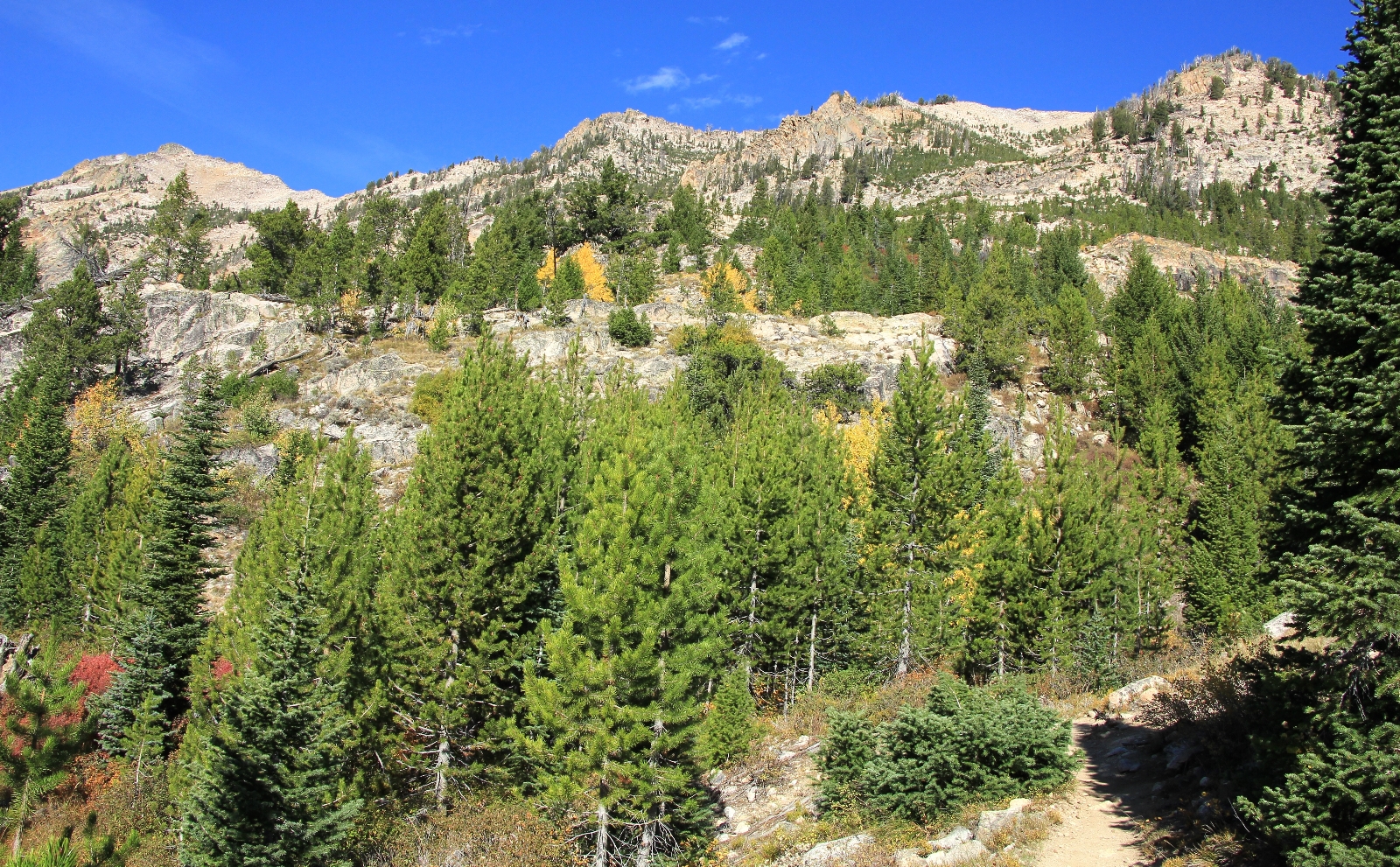
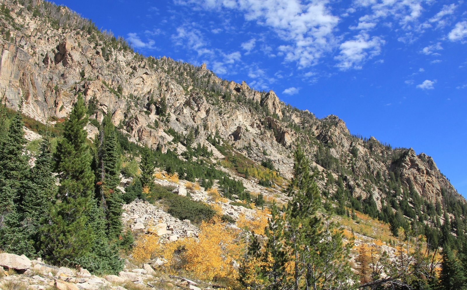
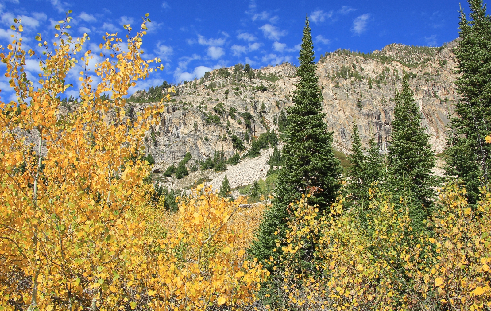
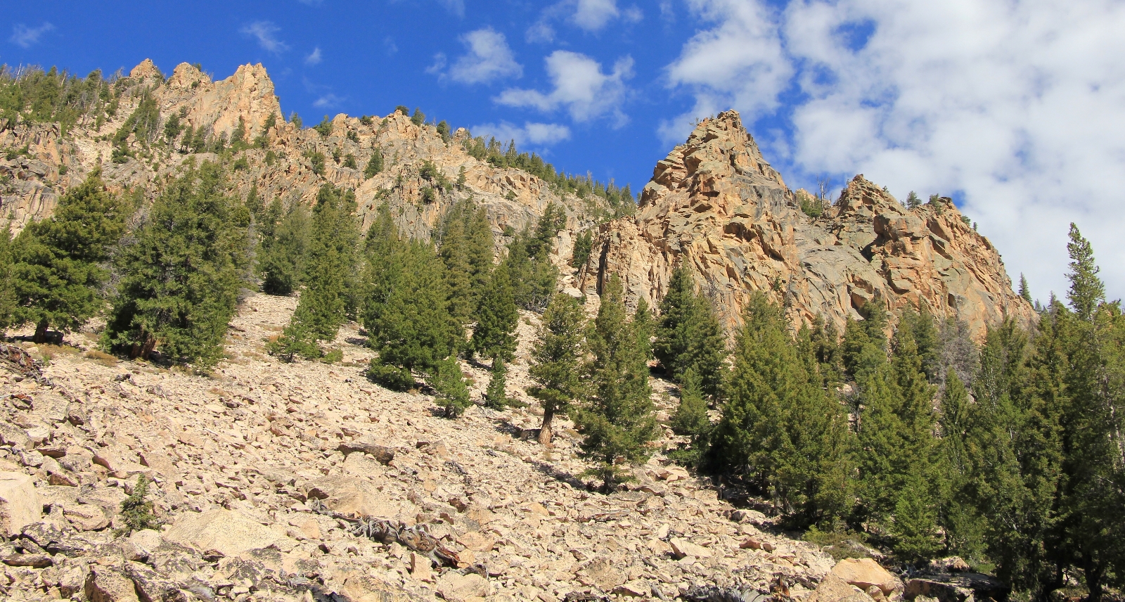
From there, the trail descended through forest and soon entered a transition zone. We started seeing yellow aspens mixed in with the evergreens and the countryside opened up to long views and boulder slopes like we saw going up into Alice Lake. We dropped steeply at times and caught glimpses of gorgeous waterfalls as the outlet stream from Toxaway made its way down canyon toward Farley Lake. This was a beautiful stretch of trail.
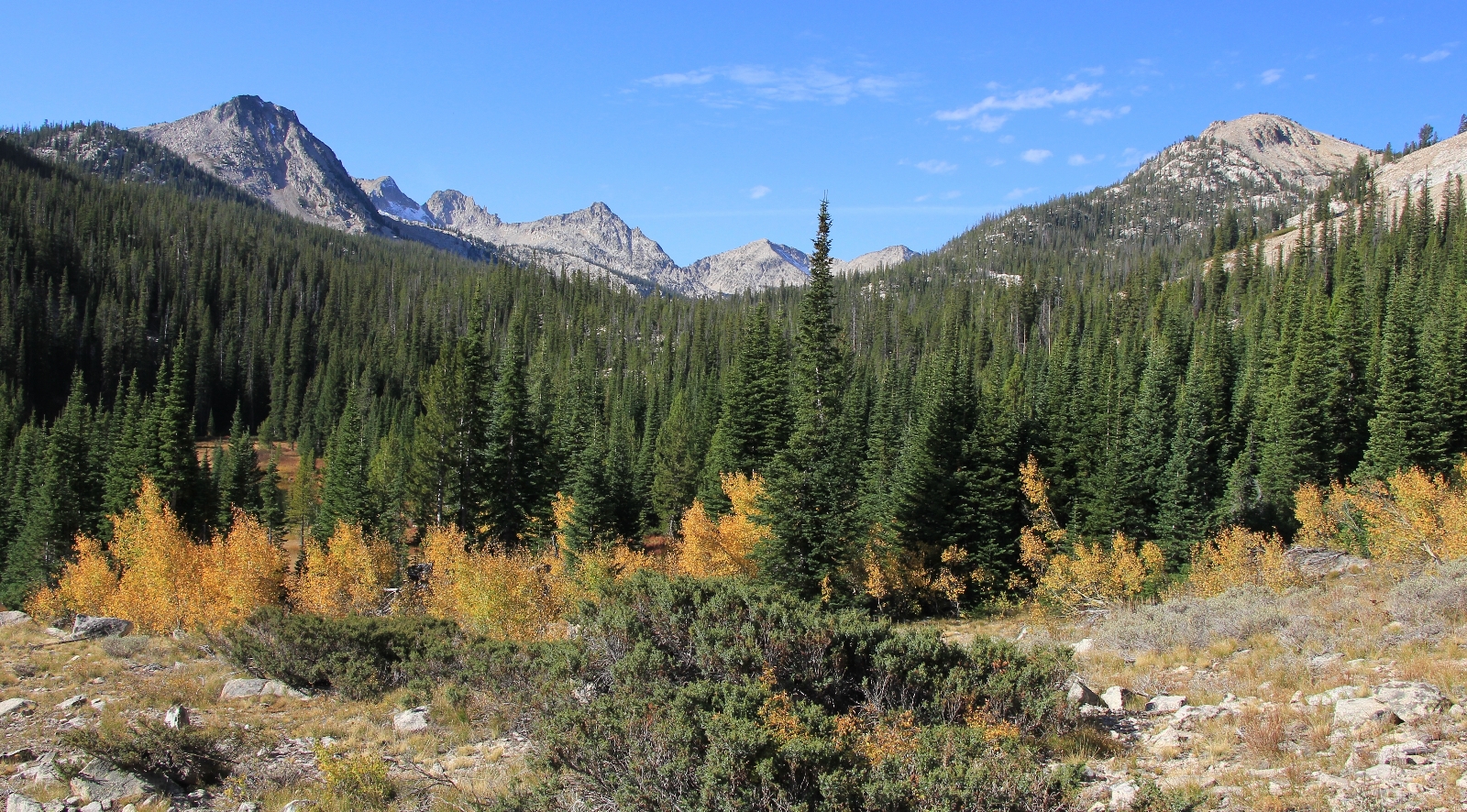
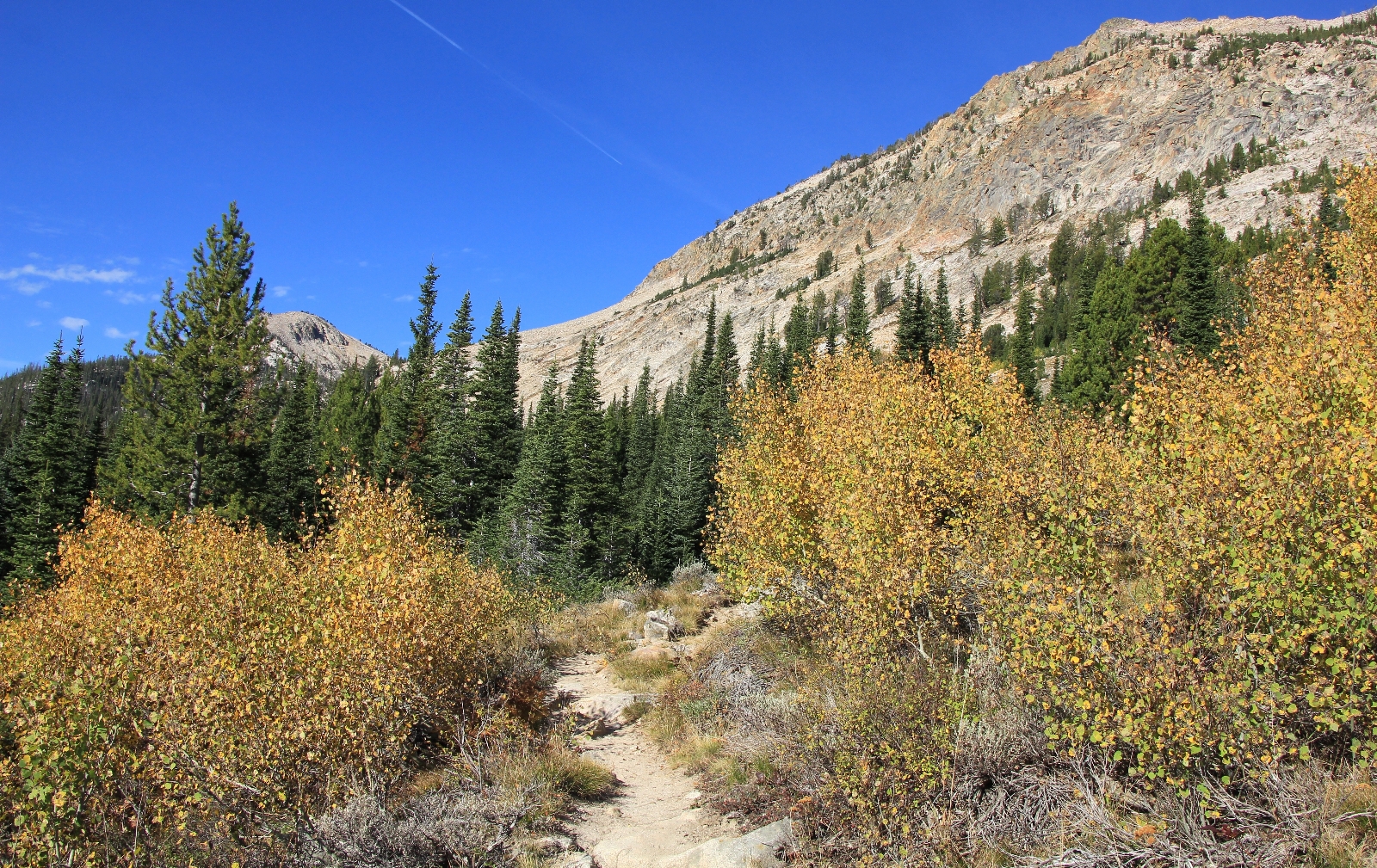
At 3 miles past our campsite at Toxaway Lake, we arrived above Farley Lake. The trail stays high above the lake, but there are side trails that we assumed lead down to campsites. This was a pretty lake with an island, although the angle of the sun made it difficult to photograph. Shortly after Toxaway, we ran into the couple who we had seen looking for a campsite at Alice Lake. They had spent the previous night at Farley and said it had been a nice place to camp. I suspect they had it to themselves. We would only see one other party all day, a backpacking couple coming up the trail about a mile past Farley.
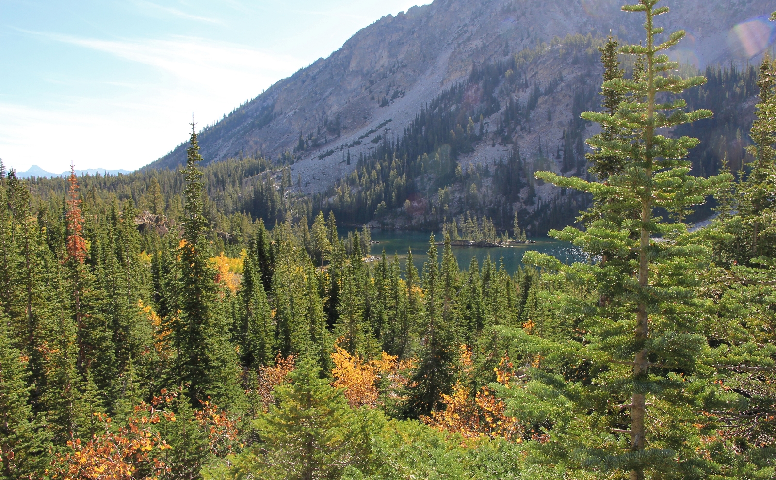
Continuing past Farley Lake, we could see views of the White Cloud Mountains and Yellow Belly Lake to the east and we passed more areas of beautiful fall colors.
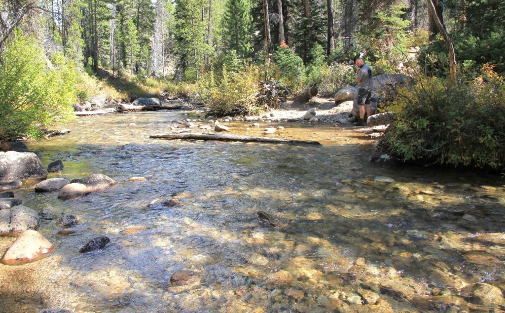
 By a mile and a half past Farley, we had bottomed out and we encountered our largest stream crossing of the backpack. There was a downed log a ways off trail that we could have tried to cross, but temperatures were warm and we were only 3 miles from the truck. I told Jason I was just going to walk through. With the warming temperatures it felt great.
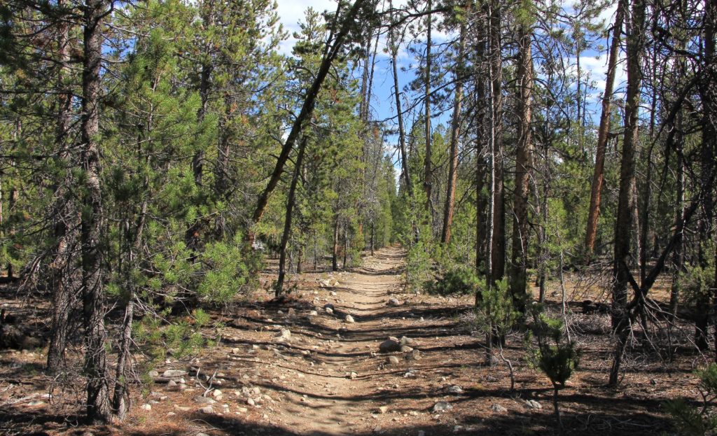
The trail then followed a roughly mile long stretch that was relatively flat and reminded me of the stretch going in to Hell Roaring Lake that is rather pedestrian. It was easy hiking and we made good time.
After crossing the wilderness boundary, we came upon a well signed junction. To the left was Yellow Belly Lake. We took the right, the final stretch to the finish at Pettit Lake. Here we had one last climb of 550’ up and over a ridgeline. The trail was well graded and it wasn’t a bad climb, even with temperatures in the mid-70s. The drop back down the other side was steep in places and we had to go slow to keep from slipping on small gravel. We had nice views of Pettit Lake and the Salmon River valley.
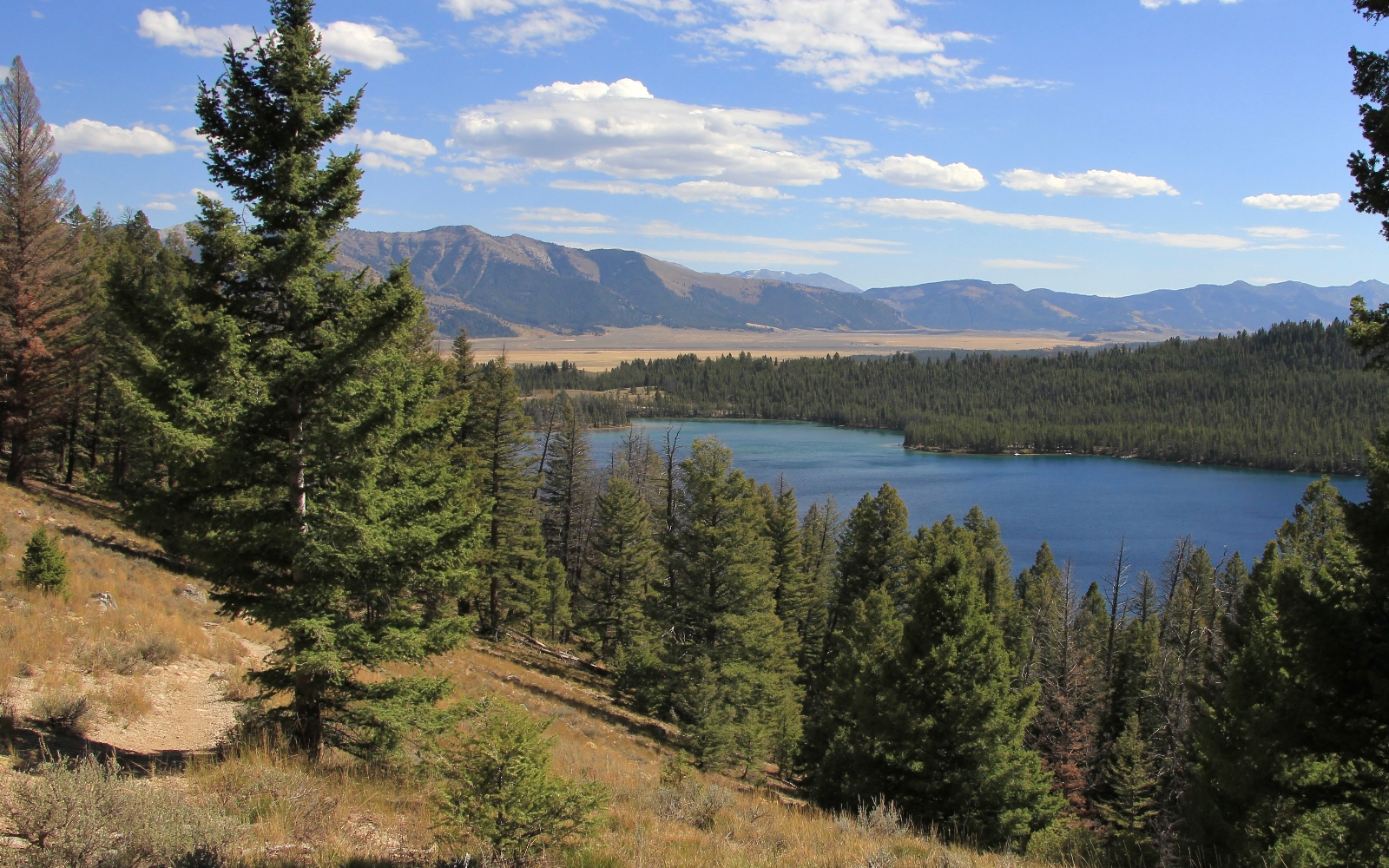
We arrived back at the truck a little after 2:00 where the temperature registered 77 degrees. Our total mileage for the day was just under 8 miles with 550′ elevation gain and 1,327’ loss. Our total mileage for the backpack was 22.0 miles. Once again we had scored with near perfect weather, spectacular scenery, few people, and the most spectacular sunrise ever.
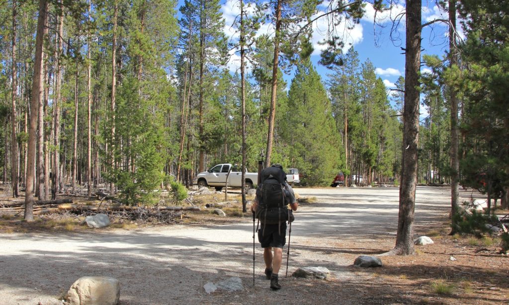
Directions to Tin Cup Trailhead: From Stanley, Idaho, drive south on highway 75 and turn right (west) at the signs for Pettit Lake. Follow Forest Service road #208 through the campground to the well signed Tin Cup Hiker Trailhead parking area. This is a large parking area with pit toilets. A free self-issue wilderness permit is required and is available approximately one mile in on the trail.
Great photos and thanks for the campsite ideas! We are doing this loop trail in Sept but plan on staying 5 nights and setting up base camps to day trip to other lakes. Can t wait! And we, like your hubby, will be fly fishing as well. If you had spent more time on that loop trail any suggestions on side trips you saw?
Thanks
Hi Mudwalker- thanks for dropping by. September is the best month to do this loop (in my humble opinion). No mosquitoes, no crowds, cool nights/warms days, and some nice fall colors- you will have a great time! I would highly recommend making a side trip over to Imogene Lake. If we were to do Alice Loop again (which I hope we can), we’d try to arrange a shuttle so that we could go in through Hell Roaring and Imogene Lakes (see our blog post for that backpack) and then come out at Alice Lake. If you think about it later this fall, I’d love to hear an update on your trip!
Happy trails,
Lusha
I backpacked these mountains 20-23 years ago for a dozen trips, mostly June and July. The snow covered peaks add a lot to the photography, but avoid the two weeks after the snow melted (mosquitos). Go before or after. The fishing used to be fantastic, but I never fished during the afternoon. The first two hours of daylight, and the last hour is when I would fish and anything caught in the morning was kept for breakfast. I always thought Alice Lake and the climb to Snowyside Pass was the most scenic in the Sawtooths. I planned to take my new wife there in 2015 and 2016 but cancelled because of smoke from fires to the southwest. Plan on going to Snowyside Pass and into the interior for a couple days as a side trip to the same loop you completed here.
Thanks for sharing
Hi Bruce,
Thanks for sharing about your experiences. We went down again this past Sept (2017), but cut the trip short after just three days of hiking. The smoke from Northwest wildfires was horrible. We could barely tell we were surrounded by beautiful mountains. We’re anxiously awaiting our next backpacking adventures in the Sawtooths and nearby White Clouds.
Happy Trails,
Lusha
Thanks for sharing . The photos are wonderful. Just a quick question about the trails. Are they well marked? Do not want to get lost in the Sawtooths.
Hi there Happy Hiker Chick (love the name!!),
Thanks for visiting. We’ve hiked/backpacked quite a few trails in the Sawtooths now and navigation has never been a problem. We’ve found every trail junction to be well marked. This hike (Alice Lake Loop) is heavily traveled and easy to follow with all junctions well marked. If you’ve never been, I highly recommend the area and this particular loop is a great one.
Happy trails!
Lusha
Hi Lusha,
Thank you for the post and photo. The trip looks magical. We are thinking about doing the same trail (i.e. Alice Lake Loop) this July with our 7 & 9 year olds. Any thoughts about the weather and mosquitoes conditions during July? This will be our first trip to ID, so I am a bit anxious about it. Thanks in advance.
Hello BuenaVistaMama,
Thank you for visiting our site. Yes, the Alice Lake Loop is magical! The scenery is more beautiful than any photo can ever show you. We’ve lived on the border with Idaho for most of our lives and have camped/backpacked in my locations. You have done a great job of selecting your first Idaho destination! And how wonderful that you are taking your daughters.
Now to answer your questions. We’ve spent a lot of time in the Sawtooths, but only one visit has been in July. We usually go in August or September to ensure the passes aren’t snowed in. I don’t recall the mosquitoes being bad for our July trip, but that is definitely when they can be quite bad at high elevations in the Northwest. You just never know what you’ll find, really depends on the year. Definitely bring your typical gear for dealing with the little blood suckers 🙂 More concerning in July could be the swollen stream crossings and impassable Snowyside Pass. We are having a big snow year in the Northwest and I see the Sawtooths are getting it good to. There will likely still be a lot of run off in July and Snowyside could be impassable. I always use Margaret Fuller’s guide as our “Sawtooth bible” and she states “Snowyside Pass is usually blocked by snow until early to mid-August”. We’ve found her descriptions to be incredibly accurate. How early in July are you going? End of month would definitely be better than beginning.
My advice – still go to the Sawtooths. They are amazing! But check in with the Forest Service a week or two before your trip and then right before. If Snowyside is not passable, Alice Lake alone is a very worthy destination. There are a couple other nice packs that do not require a pass crossing that I would recommend in July. First, consider a pack up to Cramer Lakes. There are three lakes chained together and they are stunning, especially the middle and upper. We visited those last September and I’ll be doing a blog post within the next month or two. A trip to Hell Roaring and Imogene Lakes is also very nice- we have a post up on that one too. Odds are good you’d still see pockets of snow on either of these trips, but they should be easily passable.
Please keep us posted on what you end up doing and let us know how you like the Sawtooths! They are certainly one of our favorites 🙂
Happy trails,
Lusha
Lusha
Your post has inspired my wife (Cathy) and I to make our next backpacking
adventure be in the Sawtooths. Our first backpacking trip will be a three
night hike on the same trail you and your husband did, the Toxoway and Alice
Lake loop.
We were hoping you could answer a question. We are debating whether to
carry our food in a bear bag (to hang) or a bear canister. Which did you use?
Are there adequate trees for stringing a bear hang at campsites at Toxoway
and Alice Lakes.
We’ll look for your reply and once again, thanks for such a well done site
and your inspiration.
Ramizi and Cathy Shepherd
Copley Ohio
Hello Ramizi and Cathy,
Thank you for visiting us at Evans Outdoor Adventures. We are so pleased to hear that our website has inspired you to visit the Sawtooths. They are a rugged and extremely beautiful location and one of our favorite places to backpack. We’ve been to many beautiful alpine lakes and Alice is still “the place to beat.” You will not be disappointed.
We started out carrying a bear canister on backpacks, but found it to be bulky and heavy. Unless required by local regulations, we always use a bear bag now. Ironically, Alice Lake was our first trip with a bag (if I remember right). The trees in the Sawtooths are largely tall and skinny pines that aren’t the most ideal for hanging a bag. But with a little scouting, we’ve always been able to find a satisfactory limb- including at Alice and Toxoway.
We’d love it if you drop in after your trip and let us know how you enjoyed it!
Safe and happy trails,
Lusha
Lusha
Thanks for your very quick reply and the info.
We’ll certainly drop by after our trip and let you
know how things went.
Ramizi and Cathy