Short hike to three high mountain lakes in northern Idaho near the Canadian border.
Distance: 4.5 miles
Type: out and back with spur trails and a loop in the middle
Difficulty: moderately easy with 1,228′ elevation gain
Best Season: July thru September
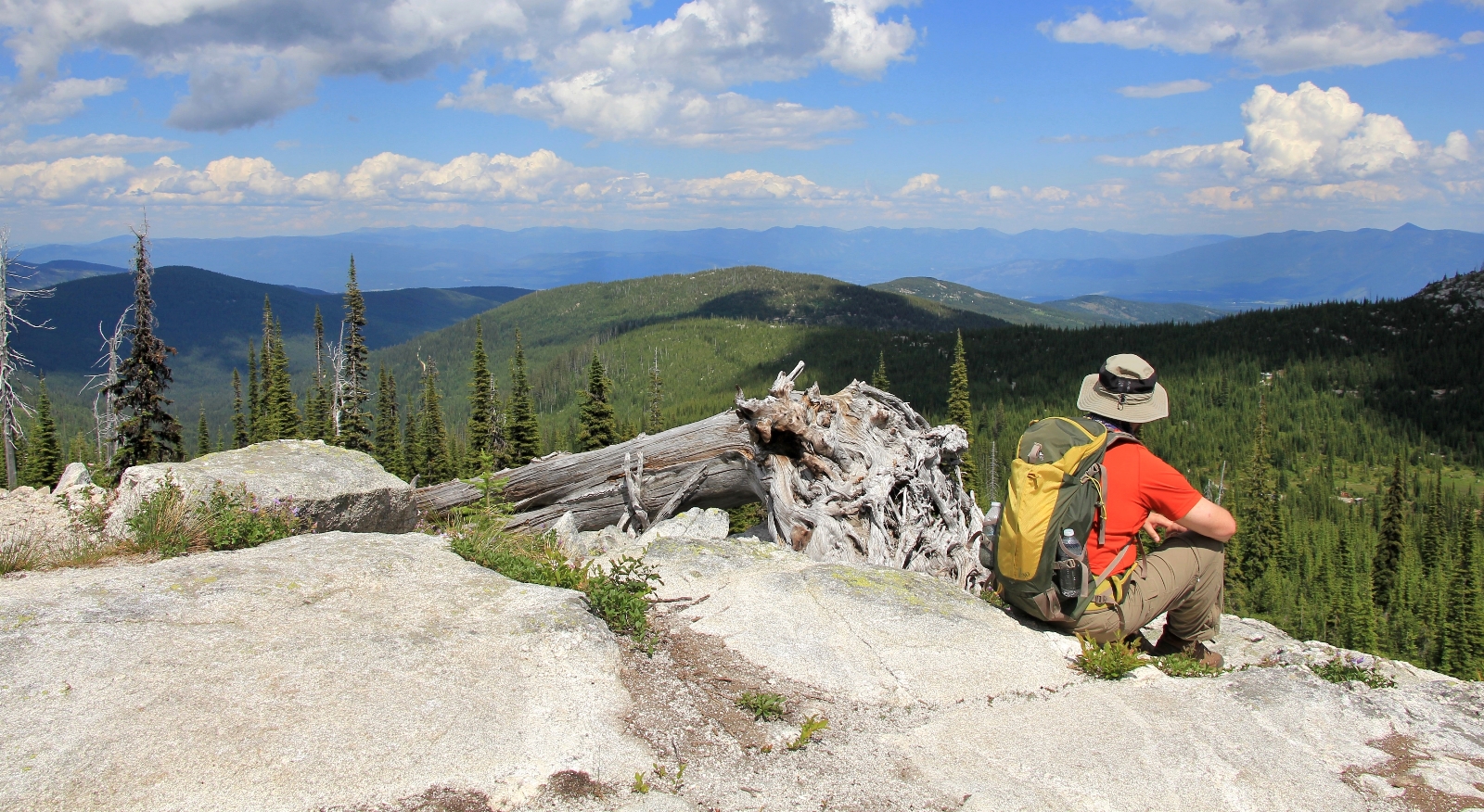
Early in July 2013, we headed north to Sandpoint, Idaho to check out a couple hikes in the Selkirks that were high on my bucket list—Roman Nose Lakes and Beehive Lake. Normally I wouldn’t have tried for Beehive until at least mid-July due to lingering snow, but it had been a mild winter and I thought our chances of navigating both trails were good.
We made the drive north to Sandpoint and then continued north on US-95 to Naples and turned off for Roman Nose Lakes Trailhead. It was an hour and a half drive to the trailhead from Sandpoint on mostly good gravel road. The upper 5 miles or so were rougher, but nothing too bad. There was one deeply rutted section toward the top that we had to straddle just right in our SUV or we would have been stuck.
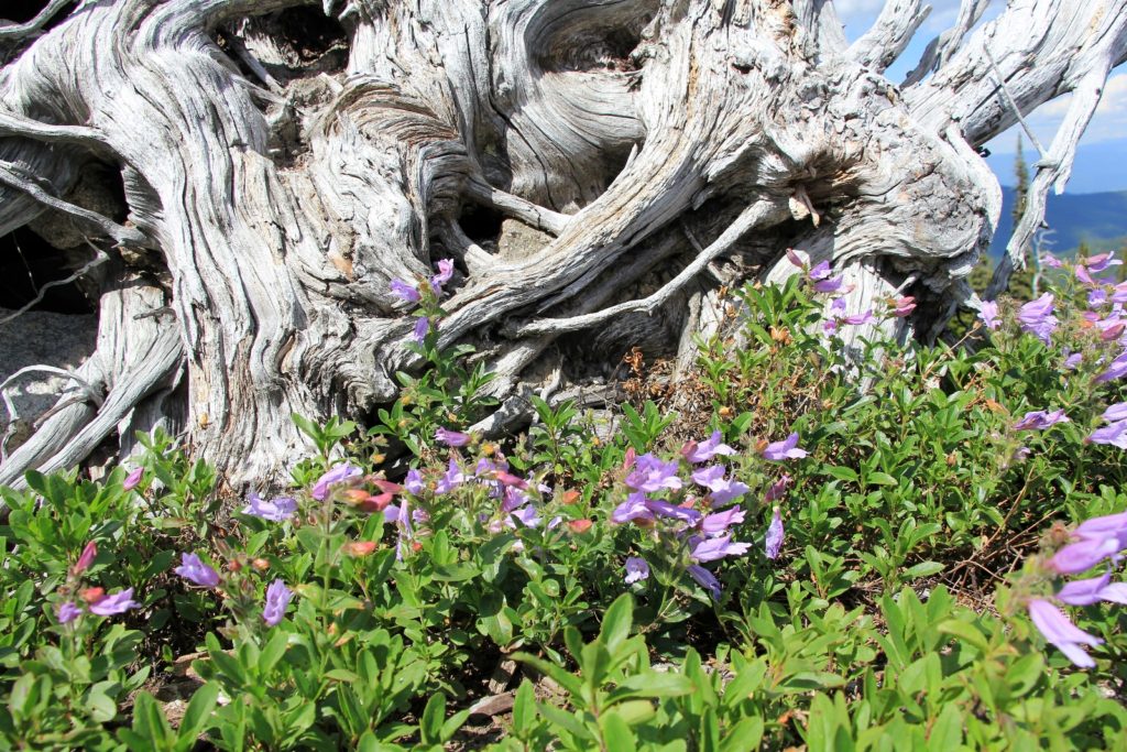
The trailhead was nicely developed with a pit toilet and a large parking area. There is a spur road to a campground just before the trailhead parking lot. Roughly half a dozen cars were there when we arrived—not bad considering the holiday weekend. I had read this trailhead can be full on weekend days forcing hikers to park in an overflow lot down the road. Temperatures were around 70 degrees with mostly sunny skies. It was a great day to be on the trail.
Our destinations for the day were the three lakes that sit snuggled up against 7,260′ Roman Nose Peak. The lakes are located in the Selkirk Mountains which straddle the borders of Idaho-Washington-Canada. This area is so rugged and remote that a few endangered grizzly bear and caribou continue to call it home. Massive granite peaks tower above beautiful lakes creating a hikers paradise in July, August, and September. Snow can linger on the upper sections of trail well into July. Watch for delicious huckleberries along the trail in late August and early September!
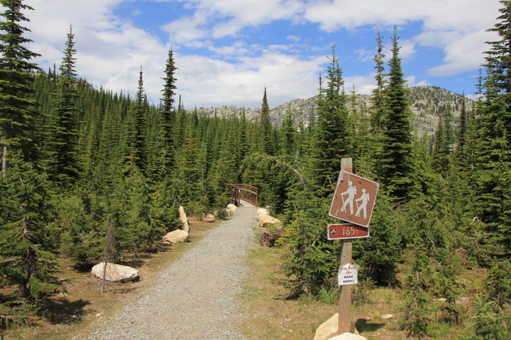
The first of the Roman Nose Lakes is located at the end of a nice boardwalk just down from the parking lot on the left hand side (elev 5,875′). We could hear a group of people here, so we saved it for the end of the hike.
The trail to the upper two lakes starts on the right hand side of the parking lot. We immediately crossed a nice footbridge and began to climb uphill. At just under 0.5 miles we reached a spur trail to the right which lead to a scenic overlook with great views of water cascading down a steep mountainside from the lower of the two upper lakes.
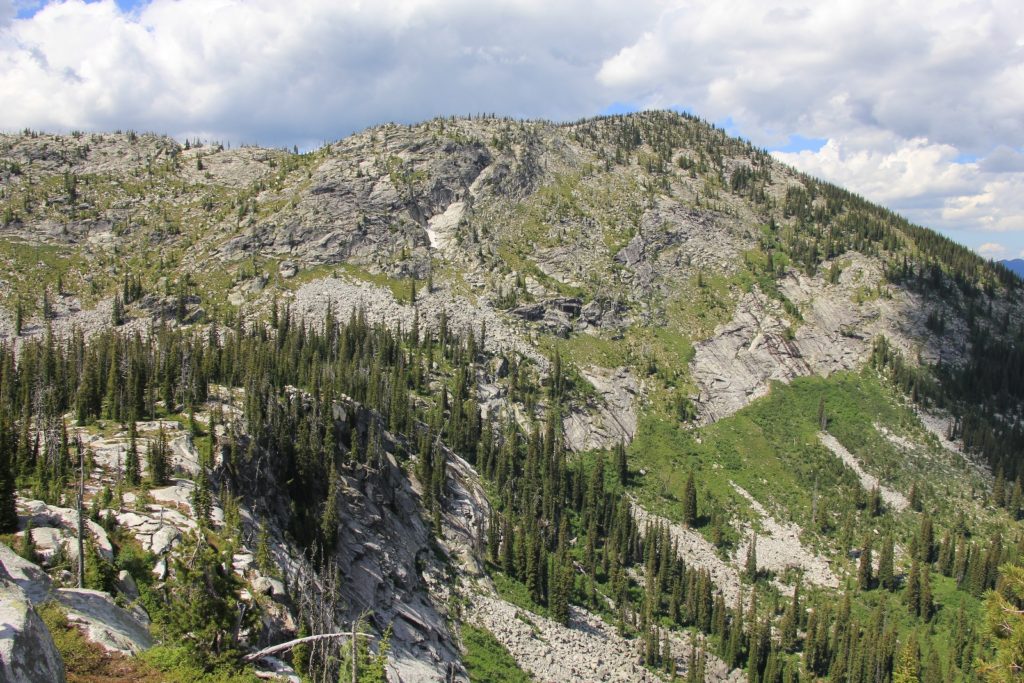
Back on the main trail, we continued to climb. We passed two side trails to the left, but for now we bypassed those and continued straight ahead toward the upper lakes. We climbed to 6,410′ elevation (high point of the trail) and then began the descent into the lakes.
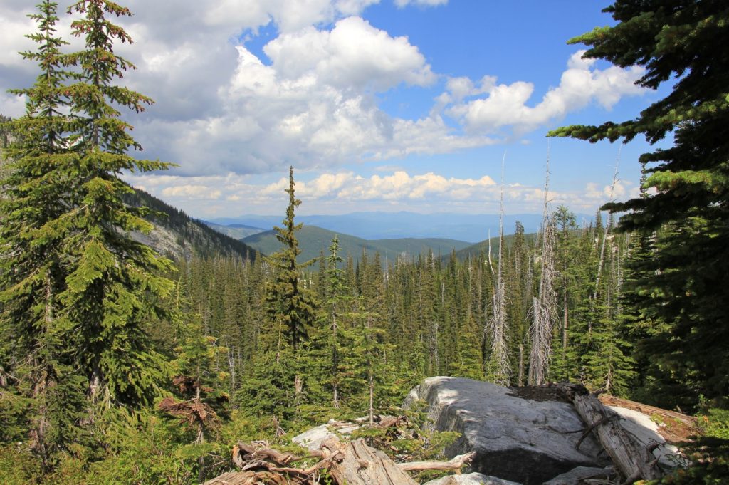
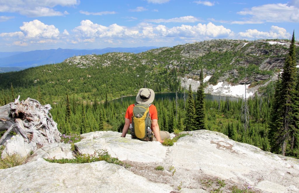
At just shy of 1.0 mile, we turned right onto the spur trail to the first of the upper lakes. This was a beautiful lake with good views, including a large waterfall at the inlet.
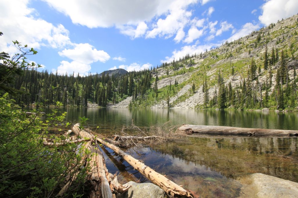
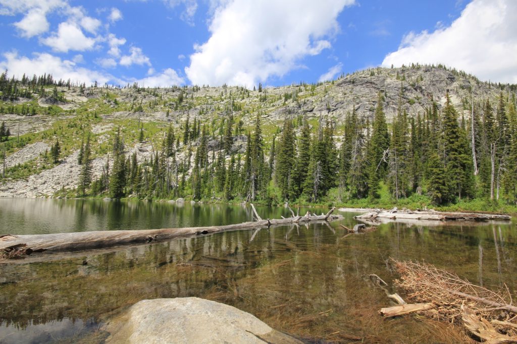
Back on the main trail, we continued to the second of the upper lakes. This appeared to be the most scenic of the lakes, but high water over the trail prevented us from getting to a good vantage point for photos. I’d like to return here after the snow run off so that I could explore this lake better.
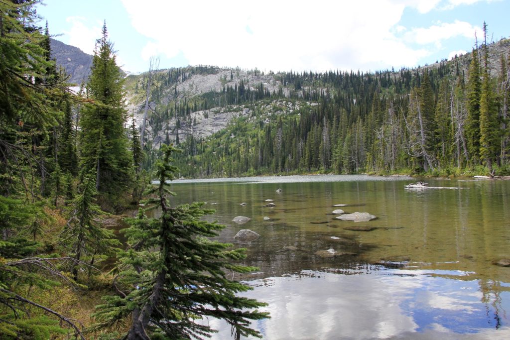
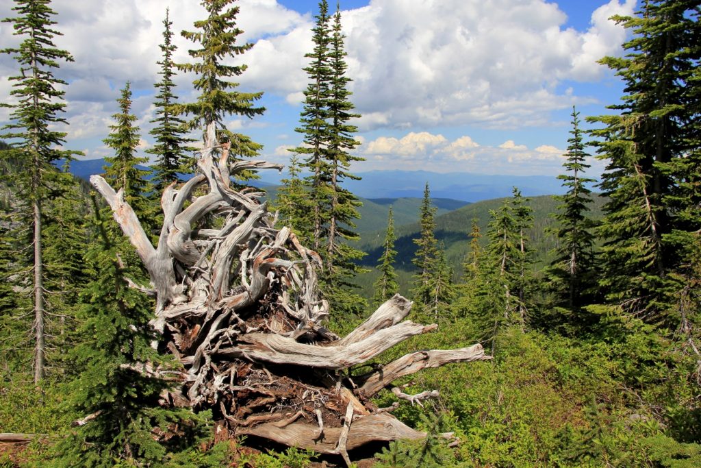
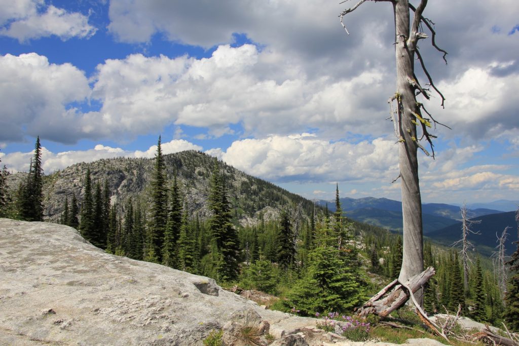
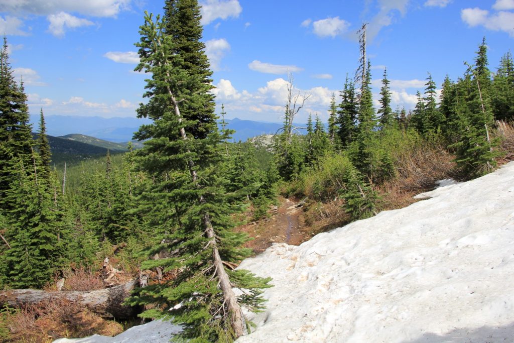
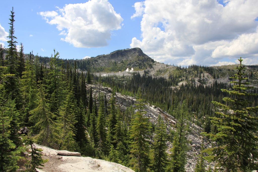
We got back on the main trail and backtracked to where we had seen the side trails to the left on the way up (now to the right). We took the first of those which lead us on a loop that would join back up with the main trail. This loop trail was the most scenic section of trail with long views north to Canada. We hit a few snow drifts on the high sections, but they were easy to negotiate.
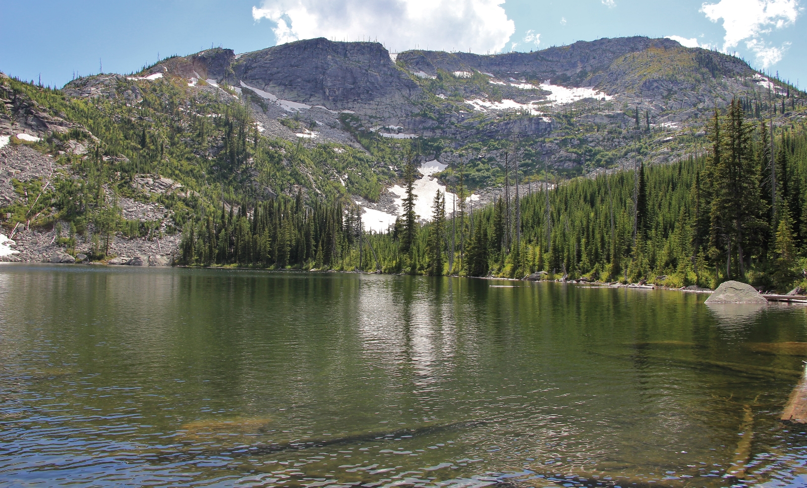
Back at the trailhead, we made the short walk down the boardwalk to the lower lake which was quite scenic.
Directions to Roman Nose Lakes Trailhead: From Sandpoint, Idaho, drive north on US-95 and turn west into the small town of Naples. Bear to the right onto Deep Creek Road and follow this north 5.7 miles and turn left toward Snow Creek Road. Drive two miles to a Y in the road where you will take a left onto Forest Service Road 402 (Snow Creek). Drive 9.5 miles and bear left onto Road 1007. Drive 7.3 miles and turn right on Road 2667. Bear right at the Y after approximately 0.5 miles. Follow this road 1.5 miles to the tralihead.
Beautiful photos!
Thank you Maggie! Love and kisses to the fur babies 🙂
Hi, I moved to Bonners Ferry in 1994 and my first adventure was to climb Roman Nose. It became a favorite place of mine. I actually planned out getting married on the peak after shuttling the wedding party to the top on quads. I even figured as post marriage plunge into the lower lake and barbeque would round out the affair. Well, it didn’t work out that way, my wife asked about how did I think her makeup would look after the dip in the lake. It was a nice thought, but it wasn’t to be. Roman Nose will always hold a special spot in my memory. I came from back east and after making the climb with a thermos, it was a spur of the moment climb, I actually drank from a wild mountain stream for the first time in my life. Today, I am using that setting for a story. I want to the history of its name. I was wondering if you could help. I heard that it was named because of the Italian population in that area in the 1930’s. I also remember most of the land was still scorched from a forest fire in the 1960’s. Any info that you may provide would be helpful. Tony
Hello Tony,
Thank you for sharing that fun story! And lucky you getting to live in that beautiful area. The winters would be a bit much for us, but it is pure heaven there in the summer. Bonners Ferry is such a nice little town. We’ve used it as a base camp for several Selkirk adventures and everyone is always so friendly. I’m not familiar with much of the history of the area, but what you’ve heard would certainly make sense. If you find out more, please share it with us!
Happy trails,
Lusha