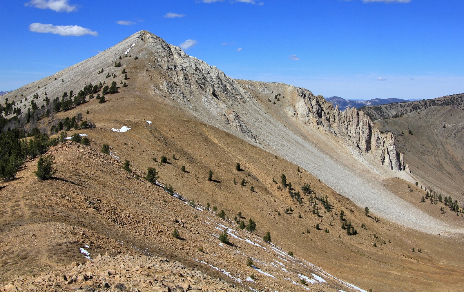
Off trail, ridgeline wandering that offers 360 degree views in Idaho’s White Cloud Wilderness
Distance: 6.5 miles round trip
Type: out and back
Difficulty: easy to moderate with approximately 1,400’ elevation gain
Best season: July – September
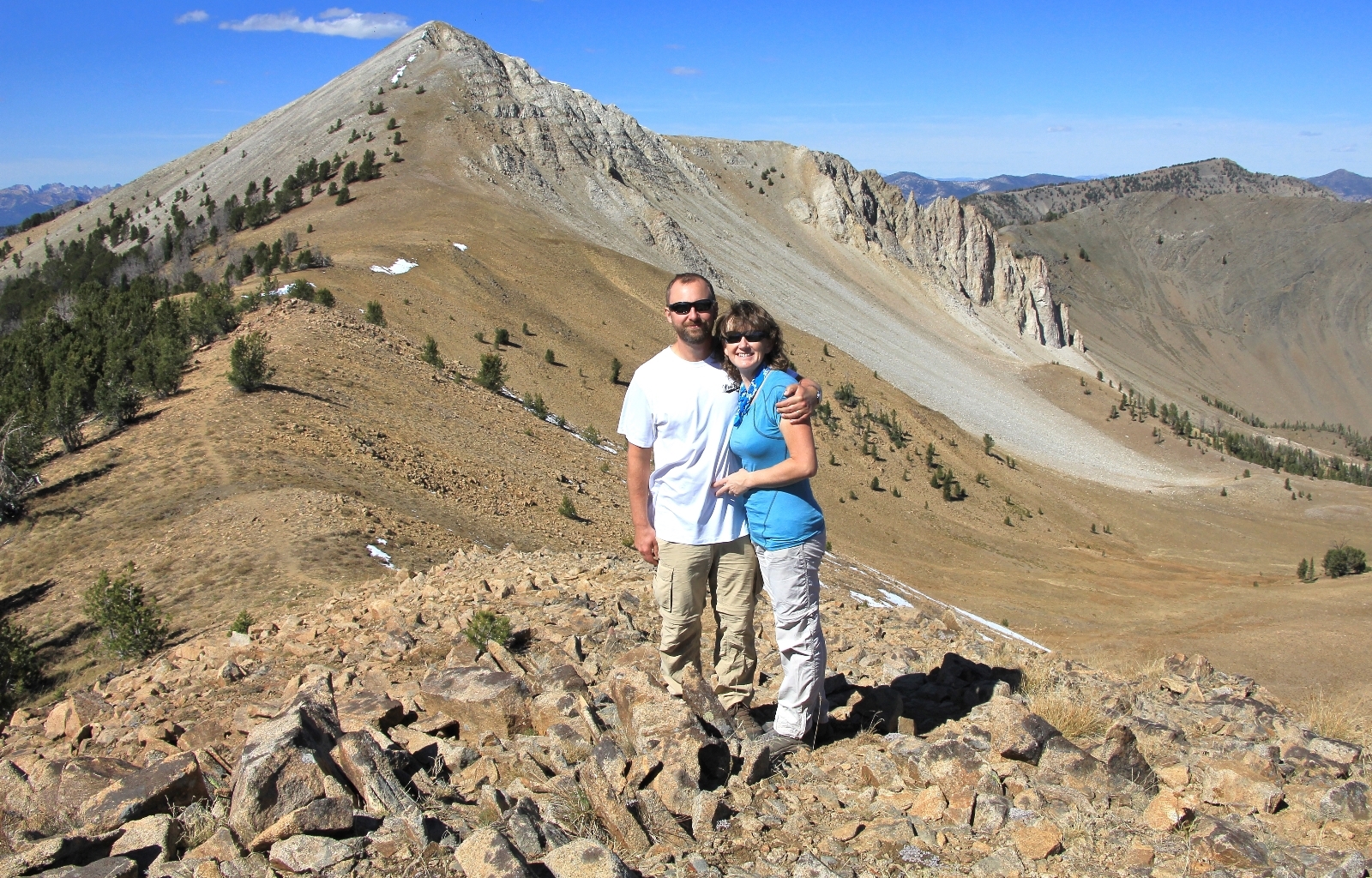
Mid-September 2015 found me with some planned time off in between jobs. September is our favorite hiking month so Jason put in for some extra vacation time. My time off came at the expense of a missing paycheck prompting us to agree on an inexpensive vacation spent backpacking and hiking in Idaho’s Sawtooth and White Cloud wilderness areas. We’d do a three day backpack to Hell Roaring and Imogene Lakes, a day hike along a ridge line in the newly designated White Cloud Wilderness, a three day backpack on the Alice Lake Loop, and end with a day hike into Island Lake high in the White Cloud Wilderness.
We couldn’t have asked for a better backpack to Hell Roaring and Imogene Lakes over the first three days of vacation. The weather was perfect, we saw very few people, and the scenery was stunning. After finishing the pack on Monday, we had checked into the Smiley Creek Lodge at Sawtooth City where we enjoyed a great dinner and a sound night’s sleep on comfortable beds. Tuesday morning we awoke recharged and ready to hit the trail.
Our destination for the day was a ridgeline in the newly designated White Cloud Wilderness east of the Sawtooth Mountains and Salmon River. An employee at Smiley Creek tipped us off that we’d see nice fall colors on the drive to the trailhead and have stunning views of the White Clouds and Sawtooths from on top of the ridgeline. She said it was her favorite day hike in the area—always listen to locals, especially when they are hikers.
From Smiley Creek, we headed north on ID-75 and turned east (right) onto Fourth of July Creek Road 209. The road was washboard and dusty. While it was passable to all vehicles, it was just rough enough I was glad we had our truck. We passed through several sections of stunning falls colors and also a large burn area. I didn’t remember that from when we were there in 2011, so I assumed the burn had been in the past four years. Trees were already growing and there were some nice fall colors in the brush.
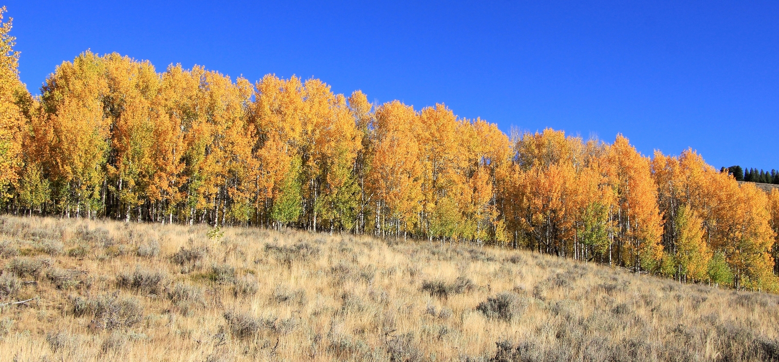
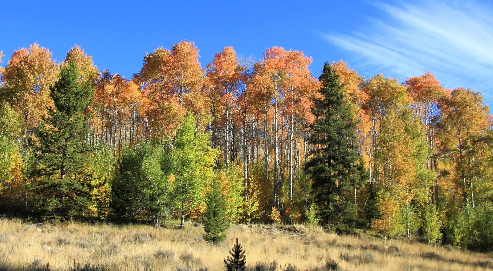
We arrived at the Fourth of July Lake Trailhead (N 44°02.7834 W 114°39.4821) elevation 8,750’ around 10:00. We had been to this trailhead before, but a rush of excitement hit me—we were about to enter the brand new White Clouds Wilderness, established on August 7, 2015. There were only half a dozen cars in the parking lot, so I knew it would be a nice quiet day on the trail. Once again, it was a beautiful sunny day and temperatures were warming into the 60s.
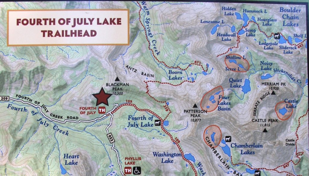
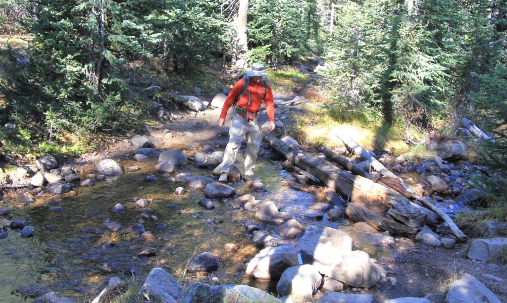
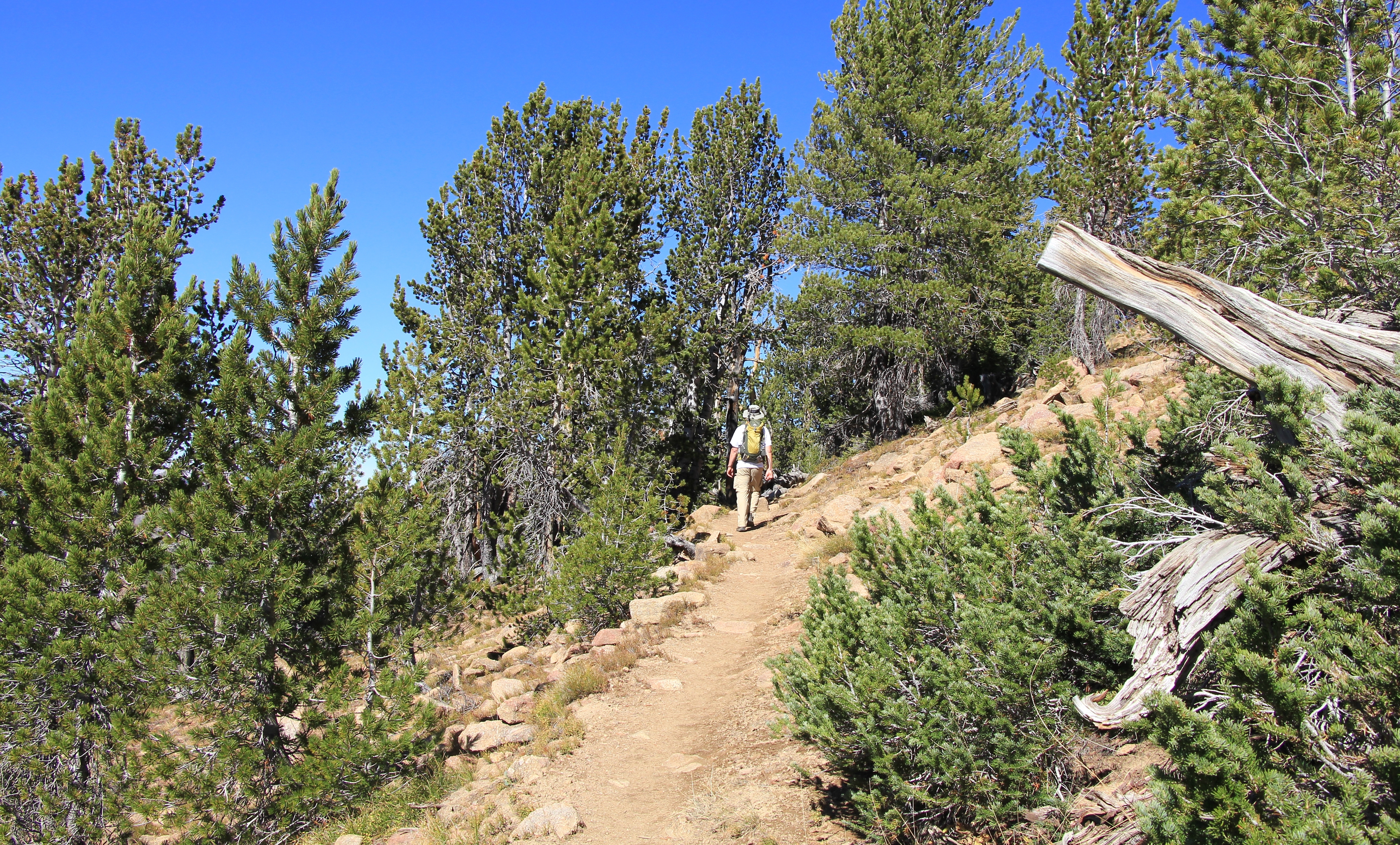
We started out following the trail to Fourth of July Lake. We had hiked to Fourth of July and Washington Lakes in 2011, so everything on the first stretch of trail was familiar. We climbed alongside Fourth of July Creek at a relatively easy gain, climbing roughly 600’ in the first 1.4 miles. There were a few stream crossings that we were able to rock hop across—I imagine they’d be a bit more challenging early in the season. Just before Fourth of July Lake, we came to a well-marked trail junction. We turned to the left and began the steep climb toward Born Lakes.
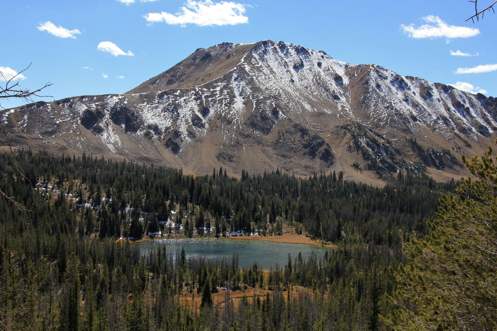
At first, the trail had a gentle climb to it, but that quickly changed and for a while we were hiking up a very steep incline. At over 9,000’, it felt like there wasn’t much oxygen in the air, but fortunately the steep part didn’t last very long. After a short distance, views of the Sawtooths to the west start opening up. We could also see Fourth of July Lake behind us.
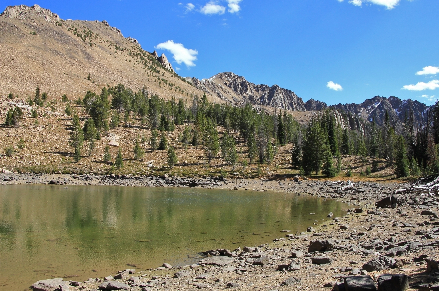
At 0.5 miles from the trail junction we reached a tarn and then continued our climb.
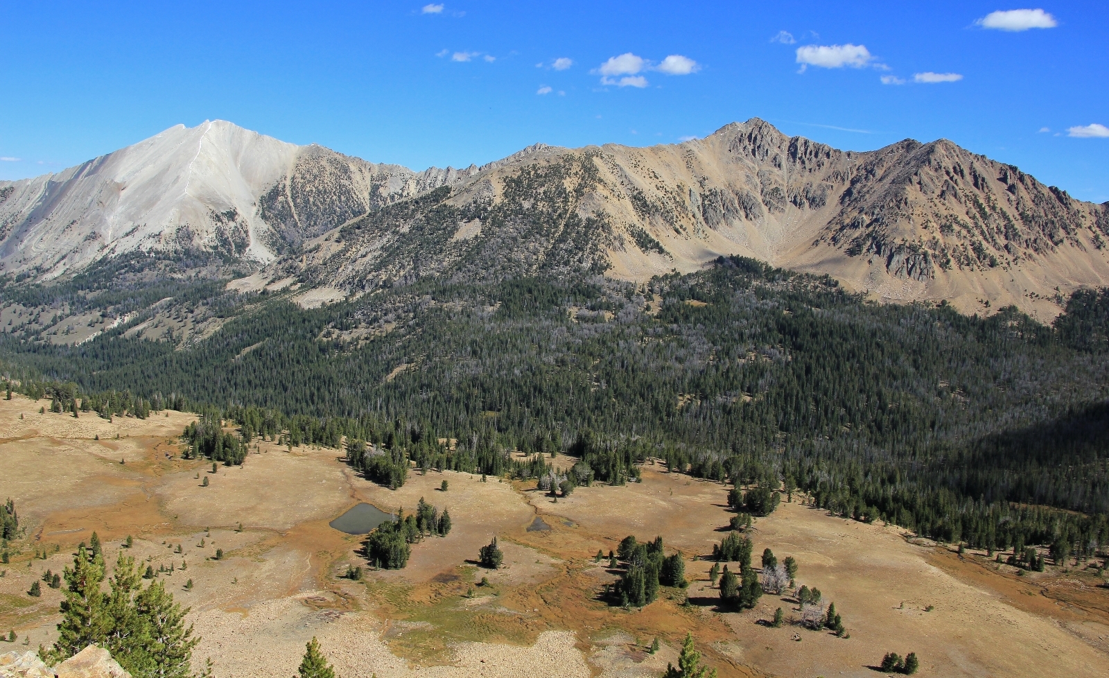
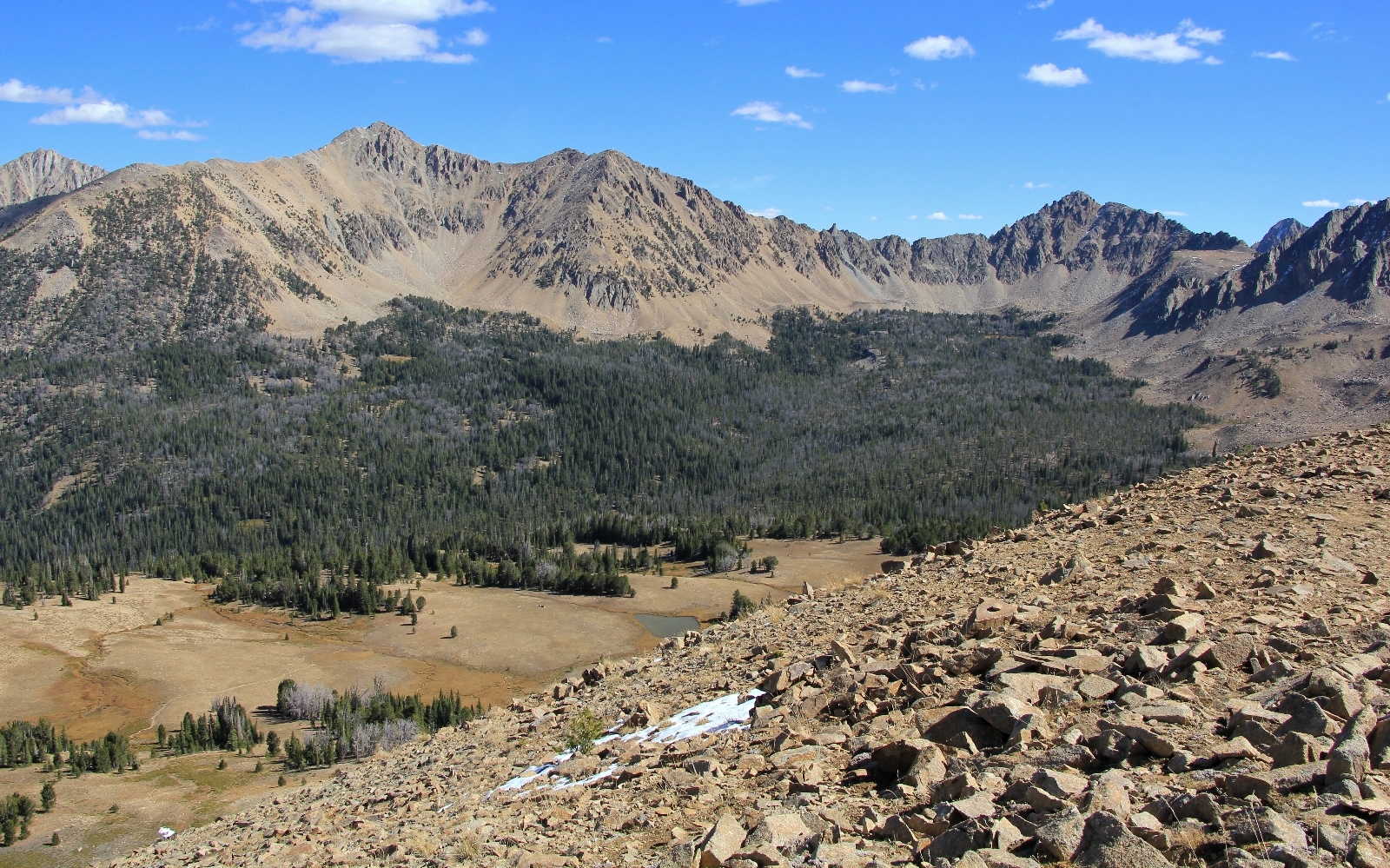
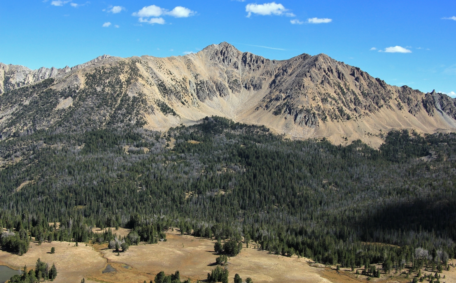
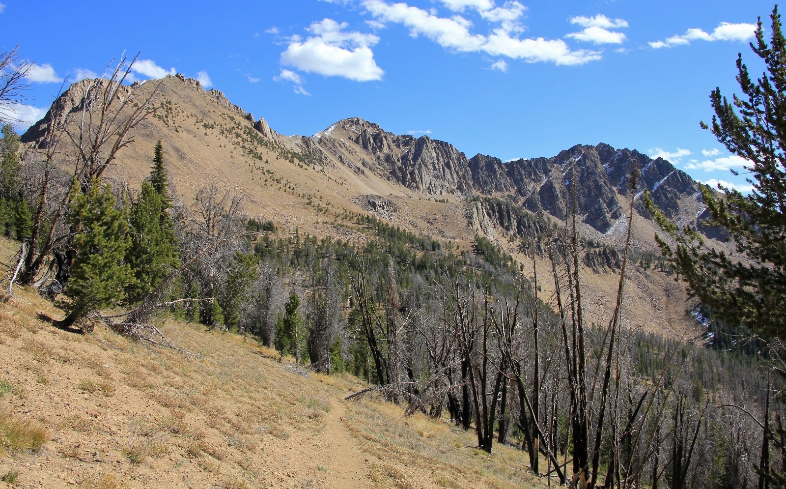
We continued approximately half a mile further before topping out at 9,900’ with amazing views of the White Clouds, Sawtooths, Blackman Peak and Antz Basin.
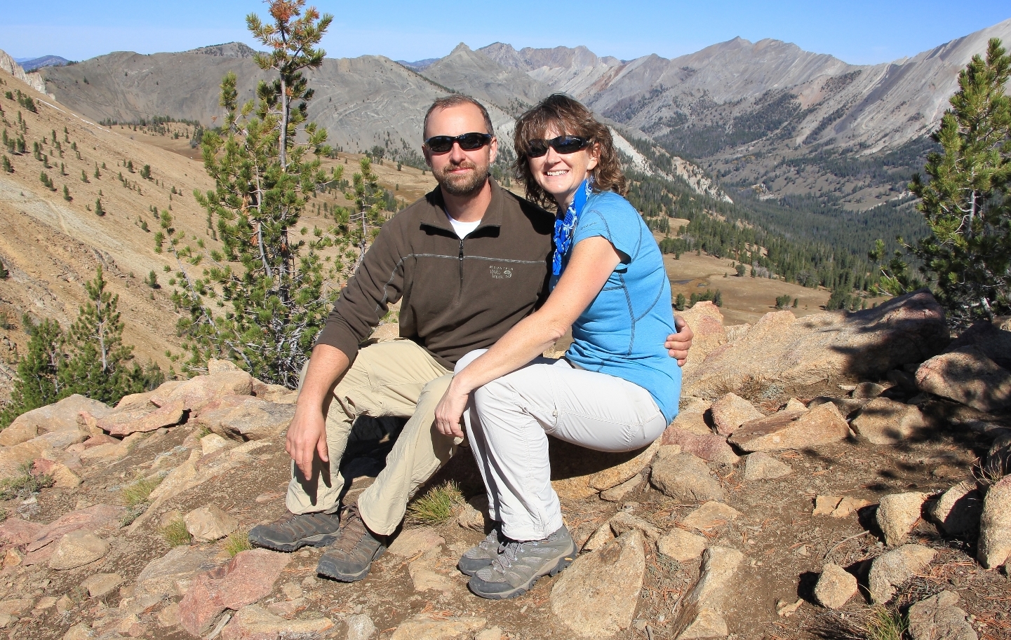
We stopped for a snack break and for me to shoot a bunch of photos before continuing on.
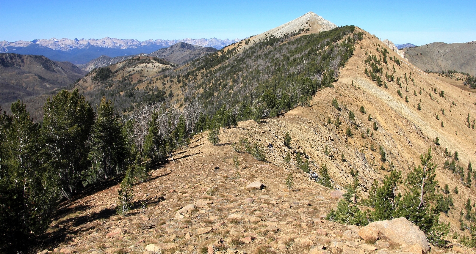
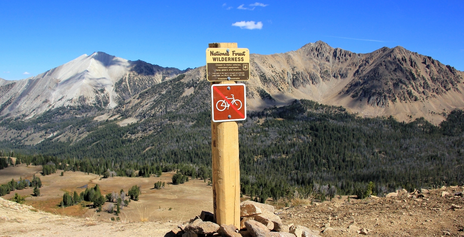
At the wilderness sign, where the trail starts its drop down into Antz Basin and Born Lakes, we cut off cross country along the ridgeline to the west toward Blackman Peak.
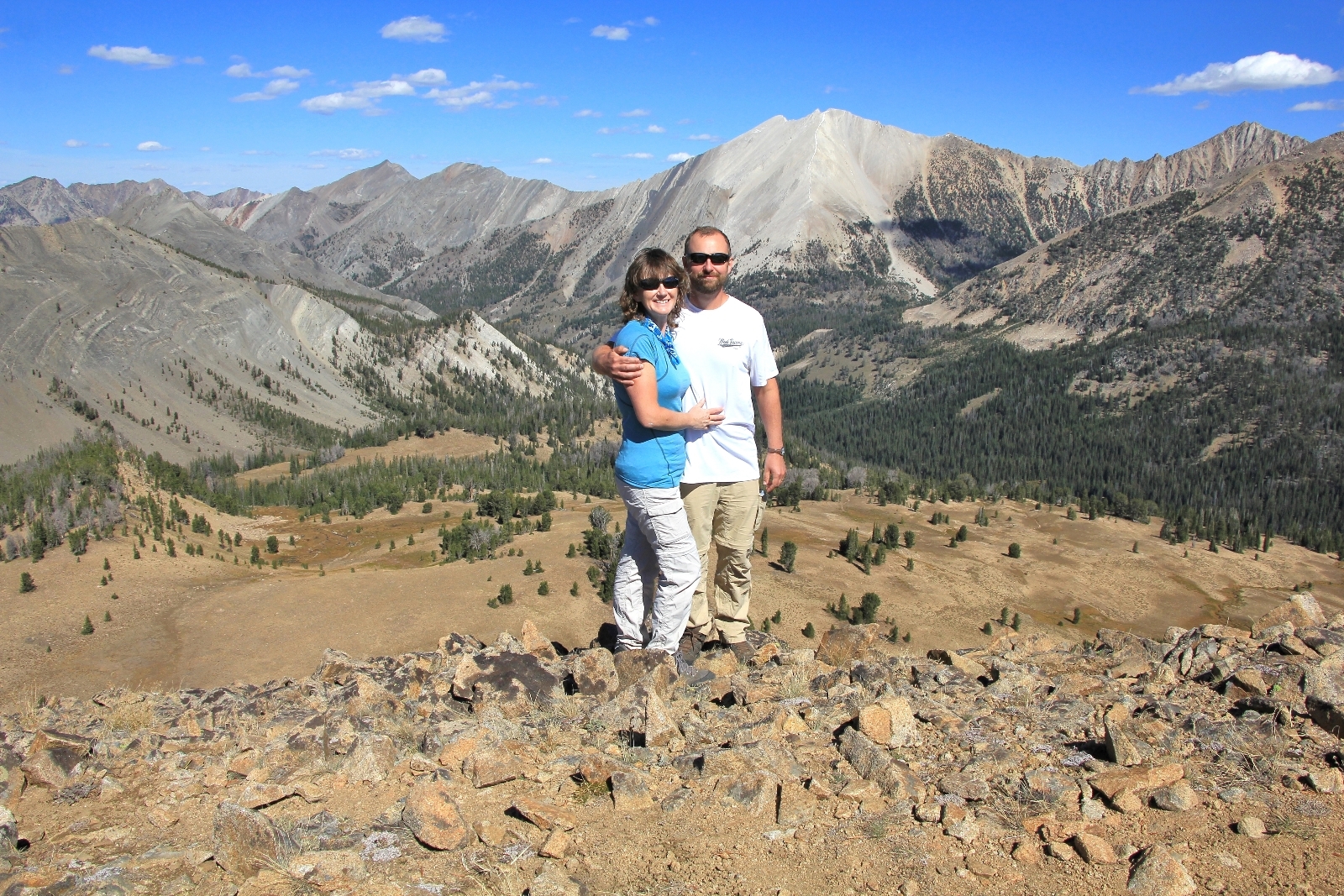
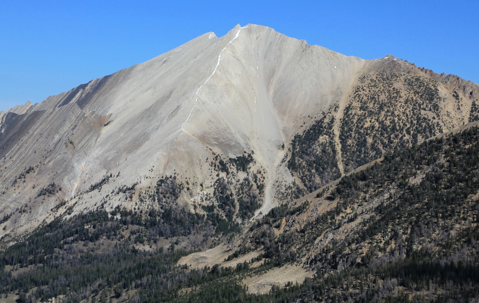
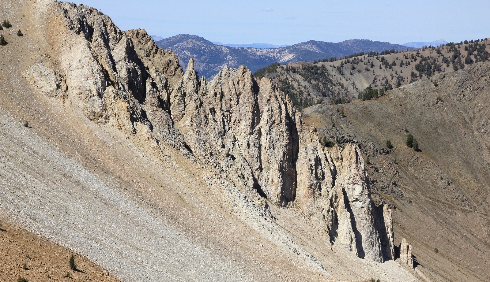
Conditions were sunny but breezy as we worked our way along the exposed ridgeline. A few places were a bit precarious over boulders, but nothing bad provided you watched your step. We stopped before the ridgeline made a final cilmb to Blackman Peak. Our elevation was 10,131’—the highest in elevation we had ever hiked. We had amazing views and it felt like we were on top of the world.
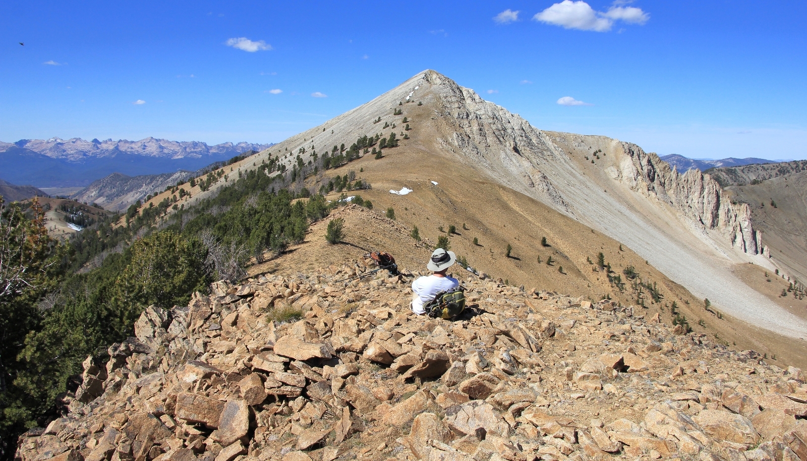
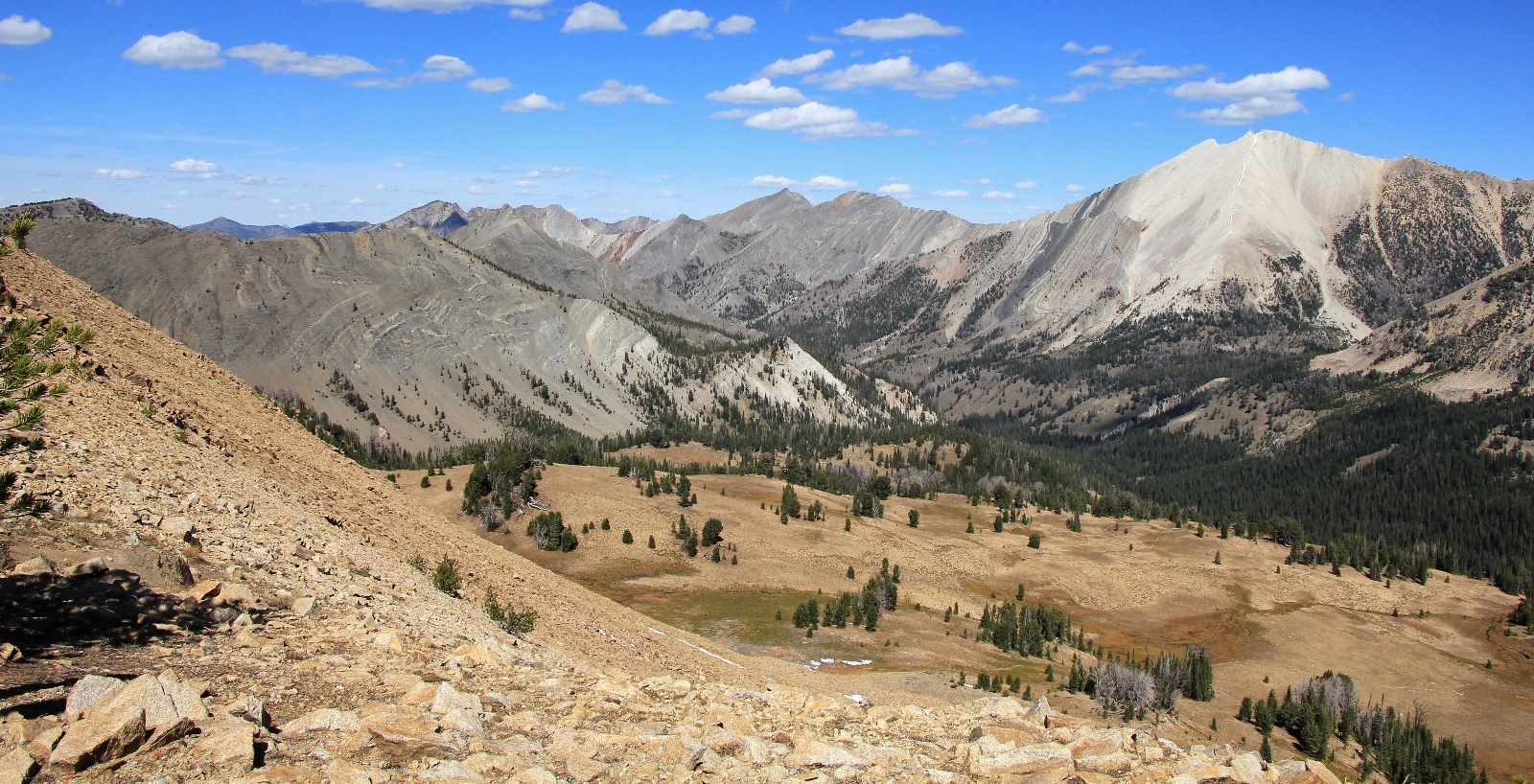
Back at the main trail, we met up with the only hikers we’d see all day—two women in their 50s with their 3 dogs. We chatted quite a while. They were from the area and were very informative.
We had a pleasant hike back to the trailhead. From there we headed north to Stanley for dinner. I had read good reviews on Papa Brunees, so we decided to give that a try. It was our best meal to date in Stanley where we typically find the food mediocre and the prices high. Our waitress was a lovely young woman from Romania, the prices were very reasonable, and the food was good. I had a small pizza and nice side salad while Jason had a Philly cheese steak sandwich. After dinner it was back to the lodge at Smiley Creek where we worked on getting all of our backpacking gear set for the following day.
Directions to the trailhead: From Stanley, Idaho, follow highway 75 south to Fourth of July Road 209 and turn left (east). Follow this rough road 10.2 miles to the large parking area. Privy available.
