Beautiful loop trail into Mount Baker Wilderness with stunning views of Mt. Baker and Mt. Shuksan as well as several alpine lakes.
Distance: 7.5 miles round trip (+/- 1.0 mile depending on route options)
Type: loop
Difficulty: moderate with 1,700′ elevation gain
Best season: late summer and early fall
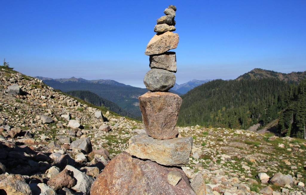
Galena Chain Lakes at Mt. Baker and Maple-Heather Pass off the North Cascade Highway had both been high on my bucket list for a few years. We scheduled a long weekend in September 2014 and, despite questionable weather, made a run for the west side of the state.
We traveled from our home in SE Washington to Seattle. After an early dinner at Cheesecake Factory in Bellevue, we made the drive north to Bellingham to our room at the Best Western Plus Heritage Inn. We ended the day with the cheesecake we had gotten to go and a fresh cup of decaf coffee.
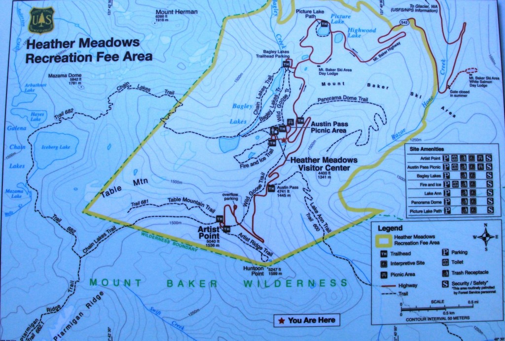
Sunday morning we made the beautiful drive east on highway 542 from Bellingham along the Nooksack River through the tiny towns of Maple Falls and Glacier and past the Mt. Baker Ski Area to the Austin Pass picnic area where we were the first car in the lot. Temperatures were in the 50s and it was going to be a beautiful sunny day. We grabbed our gear and hit the Galena Chain Lakes trail.
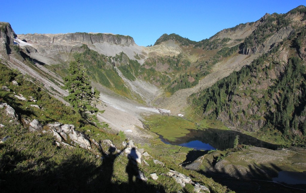
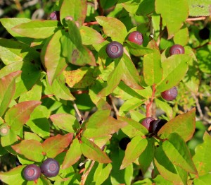
We started the day by heading north on the Wild Goose trail which immediately begins a relatively steep ascent to Artist Point. We had nice views of Table Mountain and of Herman Saddle where we would descend later in the day. The trail was in very nice condition with ripe berries everywhere. We had the trail to ourselves until Artist Point.
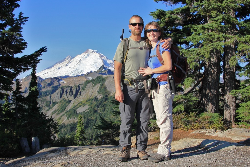
At Artist Point, we made a side trip down the Artist Point Overlook trail for some great view shots of Mt. Baker, northern most of the Washington Cascade peaks. Conditions were a little hazy, but we had beautiful views of the mountain. Artist Point sits at a modest 5,100’ elevation which is relatively low compared to many mountain locations, but this is big snow country. There are years that the last stretch of highway to Artist Point doesn’t even open due to massive snow drifts lingering through summer.
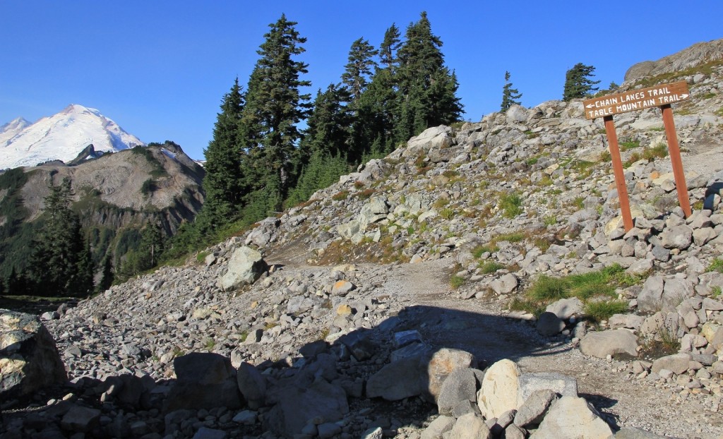
From Artist Point we started the Galena Chain Lakes Trail. Immediately there was a trail split up to Table Mountain. This looks like it would be a great hike with spectacular views—another hike for the bucket list.
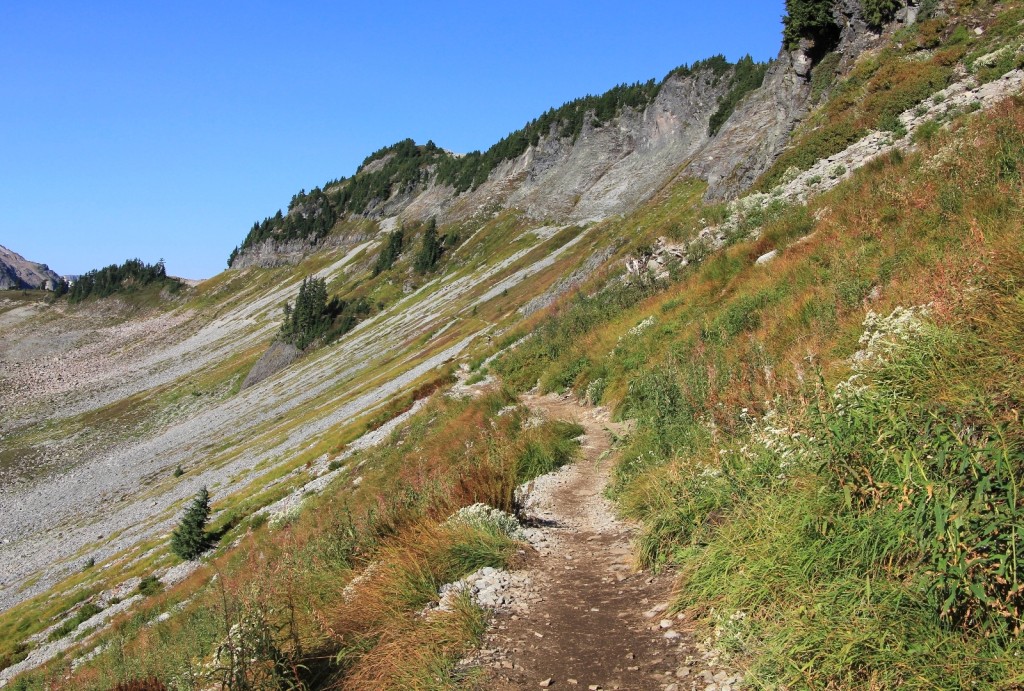
The first stretch of trail reminded me a bit of the Highline Trail in Glacier. We followed along a mountain side with great fall colors and nice views of Mt. Baker. We were now in the Mt. Baker Wilderness.
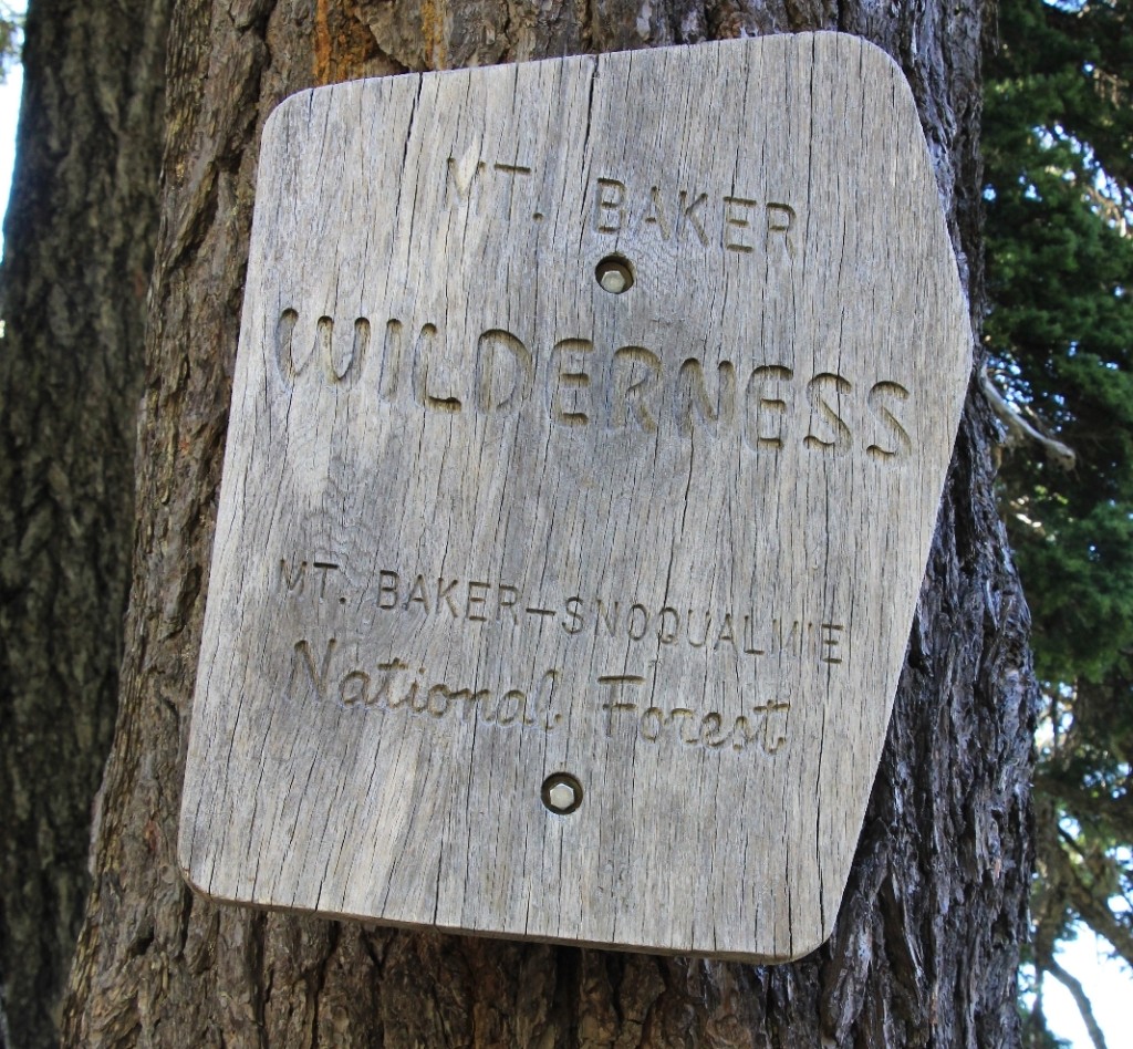
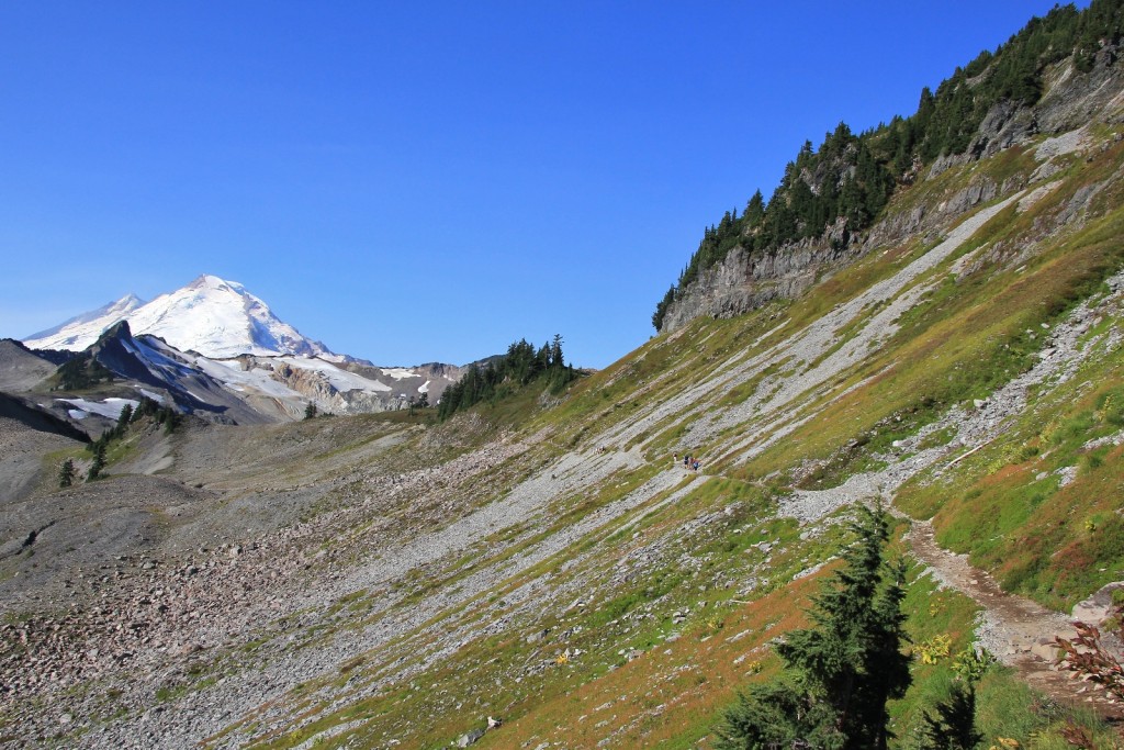
At the Ptarmigan Ridge Trail split, 1.2 miles from Artist Point, the trail turned northwest away from the mountain and we were treated to views into Canada. Ptarmigan looked like it would be a nice hike to do sometime—perhaps combined with Table Mountain. We descended across a talus slope where the pikas were actively preparing for winter.
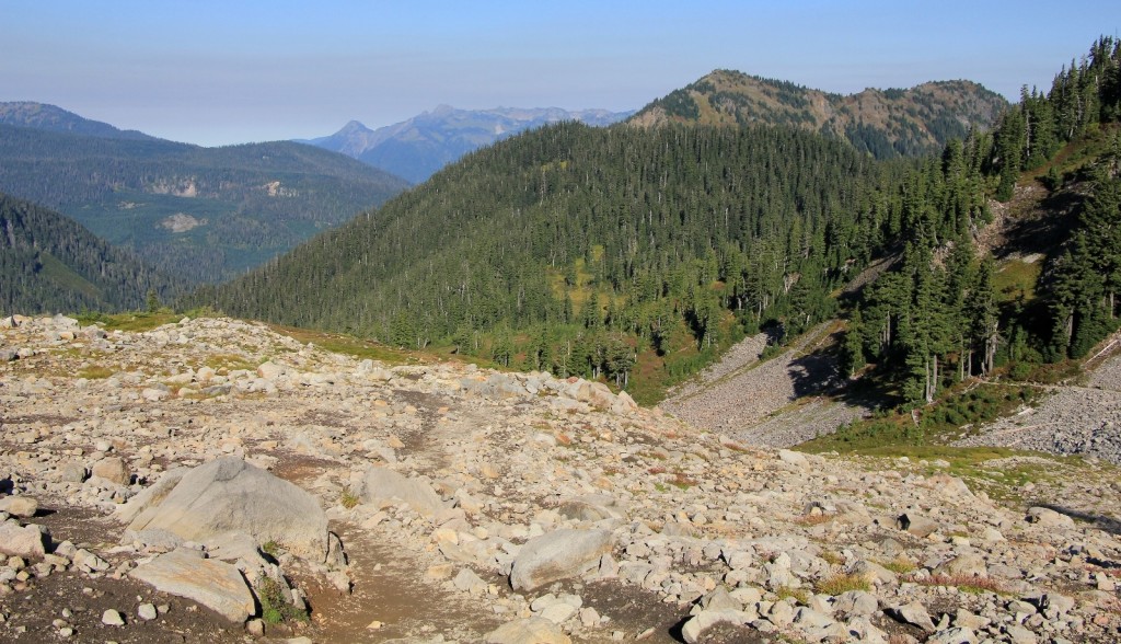
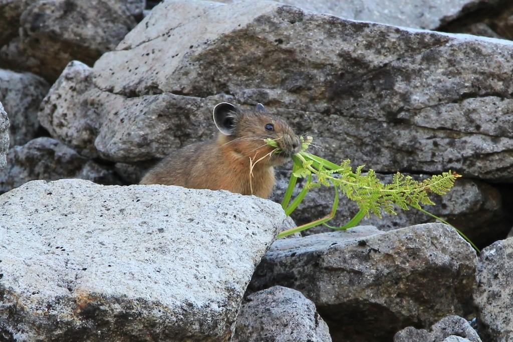
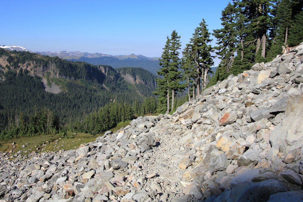
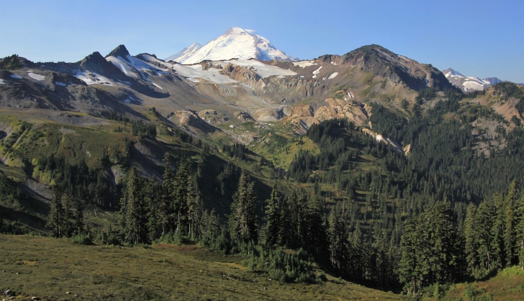
We reached the first of the Galena Chain Lakes 2.1 miles from Artist Point. Mazama Lake is small with a view of the top of Mt. Baker and scores of ripe huckleberries.
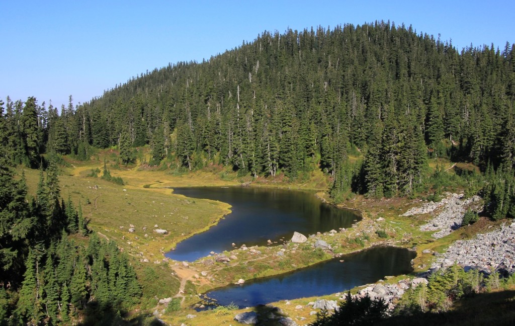
About 0.3 miles further we came to Iceberg Lake. I expected to see more snow on the steep cliffs, but it had been a warm summer. We took a short break here and then moved on to Hayes Lake.
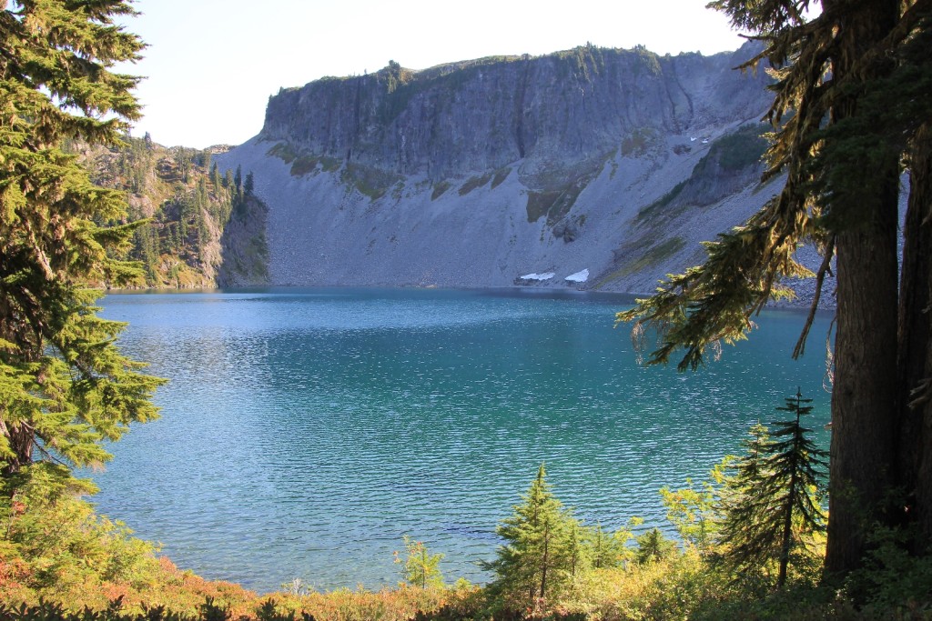
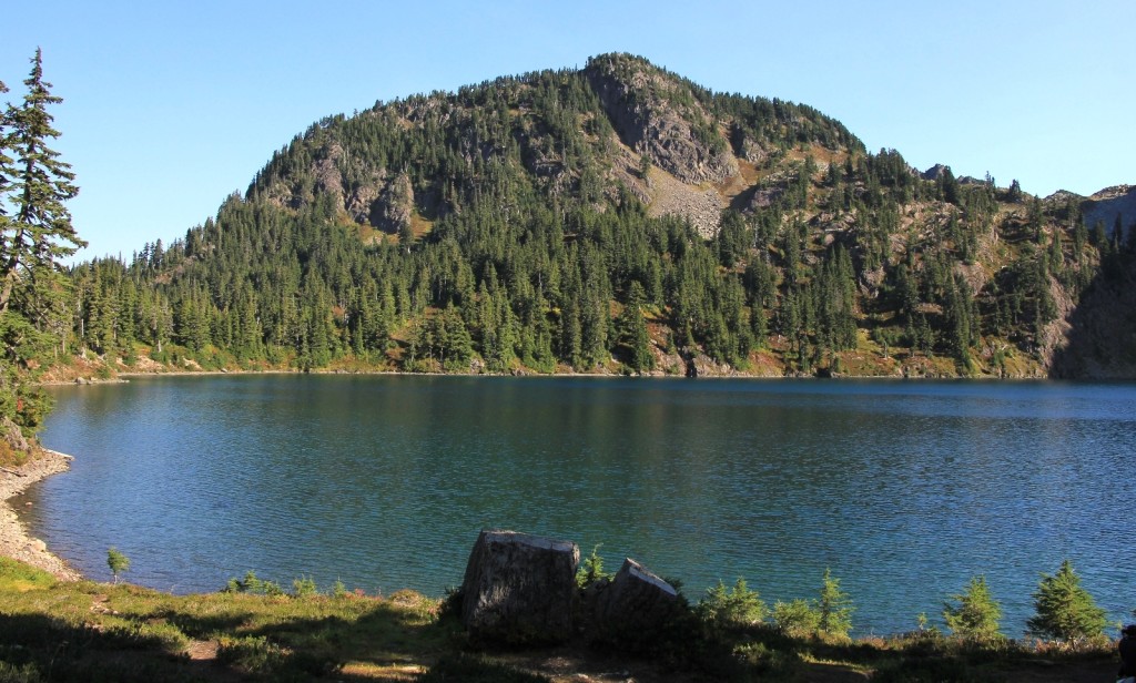
At Hayes, we ventured off the main trail northwest to explore the lakeshore and neighboring Arbuthnet Lake. There were some nice backpacking sites in around these lakes. There were also 2 pit toilets in the area (at least we saw signs stating such). This would be an interesting backpack mid-week sometime, but there were way too many people on the weekend for this to be a true wilderness experience.
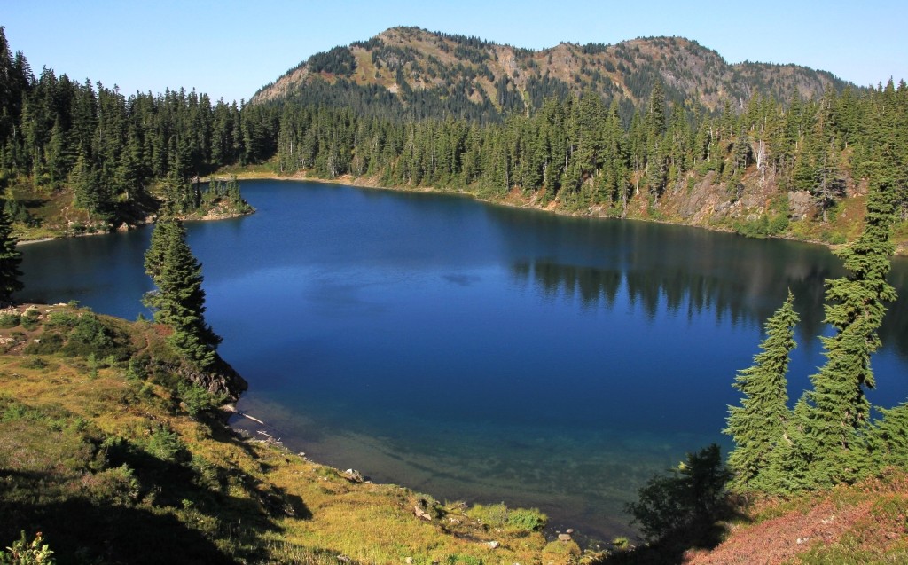
We took a long break here at Hayes. Most people were passing by on the main trail in the distance, so we enjoyed peace and quiet. Once we rejoined the main trail and started the hike back to the parking lot, the traffic steadily increased. We crossed the strip of land between Hayes and Iceberg Lakes and began the climb up to Herman Saddle. As views opened up, the grassy terrain turned to steep, rocky hillside.
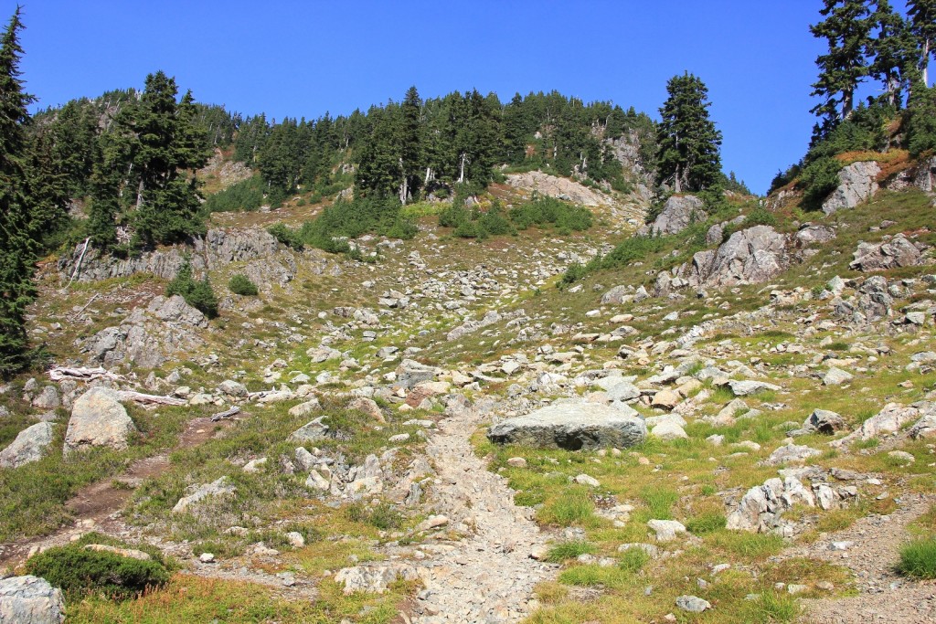
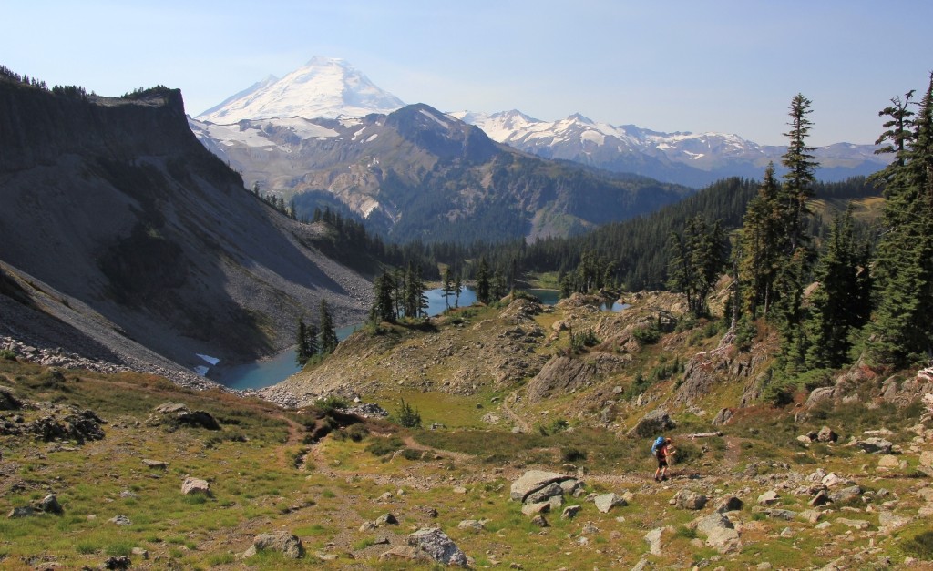
At the saddle, 3.7 miles from Artist Point, stunning views east toward Mt. Shuksan opened up. Photo shooting conditions were harsh straight into the mid-day sun. All morning we had been wondering if we’d be coming down a steep hillside we had seen earlier in the morning. Yep, indeed we would. It looked steep and rocky.
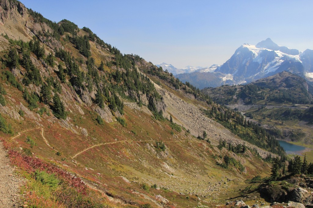
We took a break and spent some time talking with 2 women backpackers we had been leap frogging up the trail. They both seemed very familiar with the area and asked what trails were left on our trip. I indicated that we planned to do nearby Lake Ann the following day and Maple-Heather Pass off the North Cascade Highway the following day IF the weather held. One of the women had done both trails before and said, “Lake Ann is nice, but you HAVE to do Maple-Heather. It is top 10, world class, must see. Do whatever you have to do to hike that trail this trip and in good weather if possible.” (By the way—she was right, see blog post here .)
Maple-Heather Pass had been high on my bucket list for a long time. I had been watching the weather for Monday – Wednesday closely and was disappointed to see that Tuesday and Wednesday would be wet. As Jason and I descended to Bagley Lakes we debated what to do the rest of the trip. We were already all the way in at Mt. Baker, which is an 8 hour drive from home. We didn’t expect to make it back this way any time soon. It seemed like we should take advantage of being in the area. But I knew that woman was right— Maple-Heather Pass was going to be amazing. By the end of the hike, we had made up our minds to skip Lake Ann the following day and head straight for Maple-Heather Pass off the North Cascade Highway before the weather could deteriorate. (We’d also hit up Blue Lake while there.)
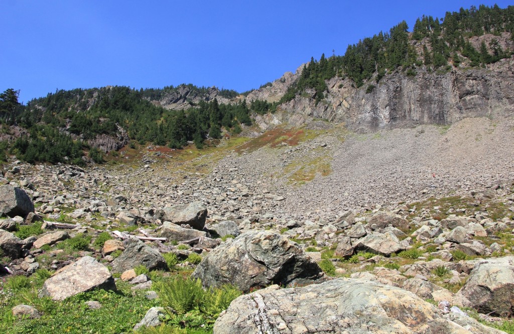
The descent down off the pass wasn’t as bad as we thought it was going to be. The trail made multiple switchbacks and was generally well graded. It was a bit rocky, but nothing sketchy. We passed a lot of people on this stretch- apparently we looked like we knew what we’re doing because several people stopped us to ask about the trail (conditions, length, direction, etc.) All were very appreciative of the information I provided.
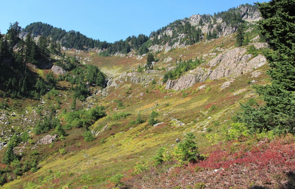
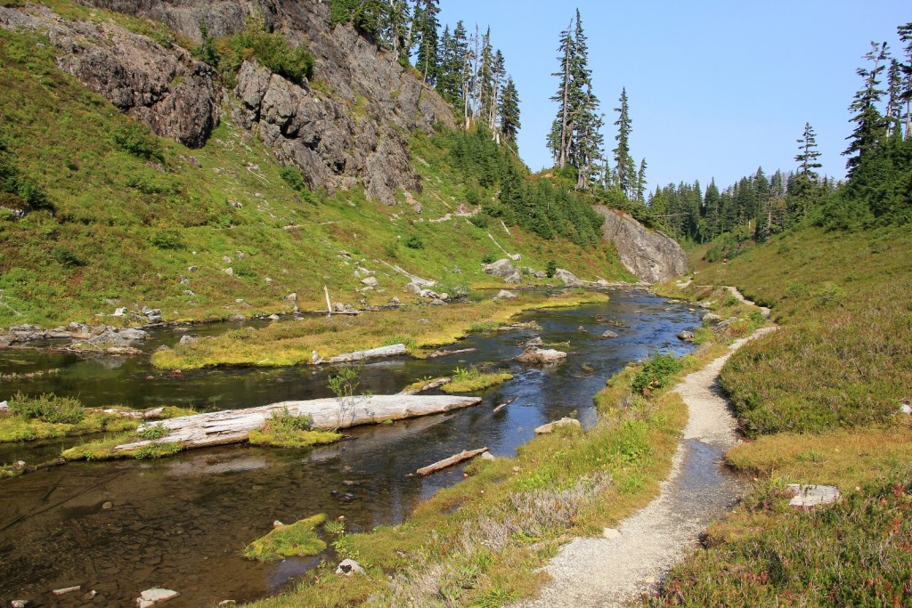
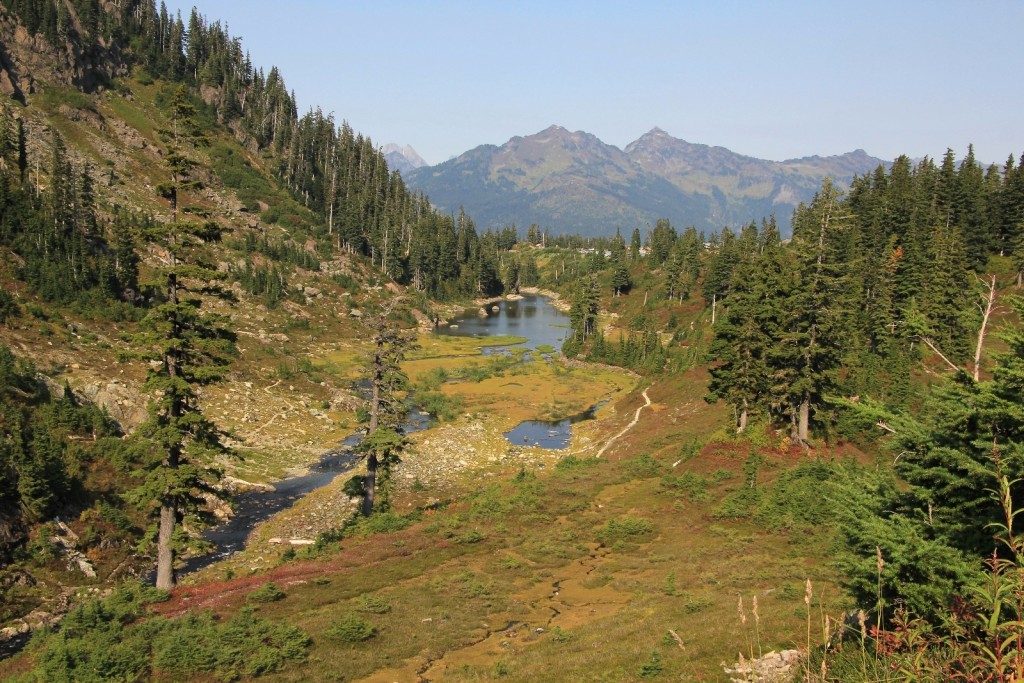
At 5.4 miles past Artist Point, we bottomed out at upper Bagley Lake. We hiked part way up the trail that follows the connector stream to lower Bagley Lake and then we hit the return trail up to Austin Pass and our car. We had hiked 7.5 miles round trip with 1,700’ elevation gain. We had full sun the entire day with a high temperature of around 75 degrees. All but a short stretch of the hike was on the loop trail.
We made our way south to the Best Western Plus Skagit Valley at Mount Vernon. This was an older Best Western, but the rooms and breakfast were very typical of a nice Plus. A delightful young woman by the name of Heather checked us in. We ended up talking about hiking, a hobby she was wanting to start. We told her about the hike we had done that day and I gave her the copy of the trail guide I had.
Directions to trailhead: Drive east from Bellingham on the Mount Baker Highway (542) for 34 miles to the Glacier Public Service Center. Drive another 22.3 miles to a parking lot signed for Austin Pass Picnic Area (also the Heather Meadows Visitor Center) between mileposts 55 and 56, just past Picture Lake. Privy available.