Stunning alpine lake backed by the two tallest peaks in the Eagle Cap Wilderness
Distance: 17.0 miles round trip
Type: out and back
Difficulty: difficult with 3,200′ elevation gain
Best season: July – Sept
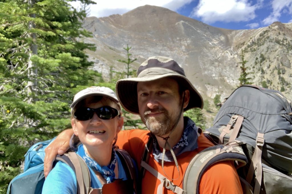
We’ve been hikers and backpackers for so long now that our newer friends are surprised to find out we weren’t always such avid trail pounders. Even after becoming passionate hikers back in 2009, I had no interest in backpacking. Why would anyone want to do that? It wasn’t until I saw a photo of Mirror Lake in Oregon’s Eagle Cap Wilderness that I said, “maybe I would consider backpacking.” The trial was too long for me to consider as a day hike so a multi-day backpack was the only way I’d ever see that beautiful lake. It was the same thing with nearby Ice Lake. Backed by the two tallest peaks in the Eagle Cap Wilderness, the lake looked stunning, but I knew there was no way I’d manage 17 miles with significant elevation gain in one day. You could say I became a backpacker just so I could see Mirror and Ice Lakes.
Jason took me on my first backpack in 2011. I can’t say that I really loved the experience and we only did a handful of packs over the next few years. It wasn’t until 2015 that we really got into backpacking. That summer, we visited Mirror Lake—it was even more beautiful than photos had shown. I was officially hooked. But Ice Lake, with it’s 3,200′ elevation gain, continued to feel out of reach. I kept thinking, “maybe at the end of next summer when we’re in really good backpacking shape.” But something always came up and our aging joints are never in better shape.
Last week we decided it was finally time to conquer Ice Lake. We knew there was still some snow at the lake and that the mosquitoes could be fierce, but it was time to finally do it! Below normal temperatures would provide ideal conditions for the 3,200′ climb while mostly sunny conditions would make for a beautiful hike.
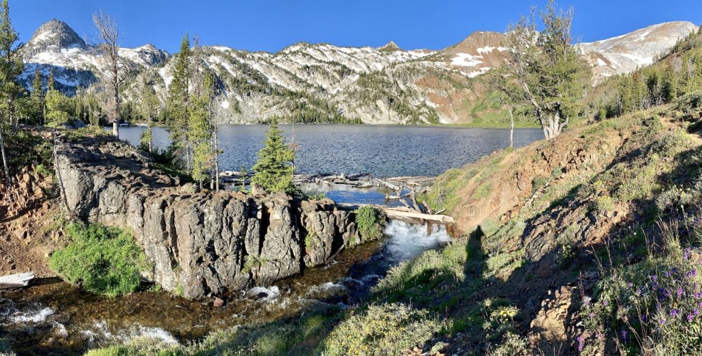
Our trip began with the 2.5 hour drive from our home in SE Washington to the Wallowa Lake Trailhead outside the small Oregon town of Joseph. Dark skies loomed over us as daylight broke and by Joseph Canyon Overlook it was pouring rain and I had the car windshield wipers on high speed. I wasn’t too worried since the pinpoint weather forecast for Ice Lake showed conditions clearing early in the morning followed by nothing but sun for a week…but I had to admit I wouldn’t be prepared for conditions quite this wet. The rain let up by the time we reached Enterprise, and it looked like the tips of the Eagle Cap had fresh snow. Pretty!
Our trail began at the Wallowa Lake Trailhead (elev. 4,645′) at the far end of Wallowa Lake where the road dead ends just past the tram. There were quite a few cars there, but nothing like it would be on a weekend. This is one of the things we love the most about our semi-retirement, I can work on the weekends so that we can hike during the week while most people are working. Ice Lake is one of the more popular destinations in the Eagle Cap and we were happy to start on a Thursday (we passed four times as many people the following day on our way out).
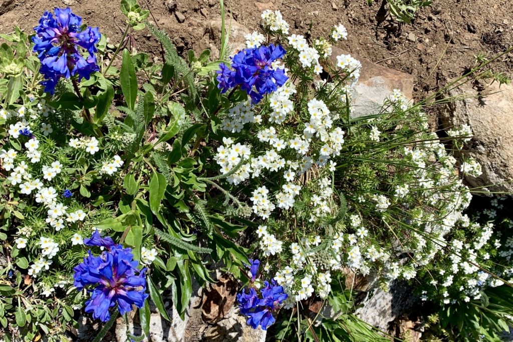
the wildflowers were in peak bloom 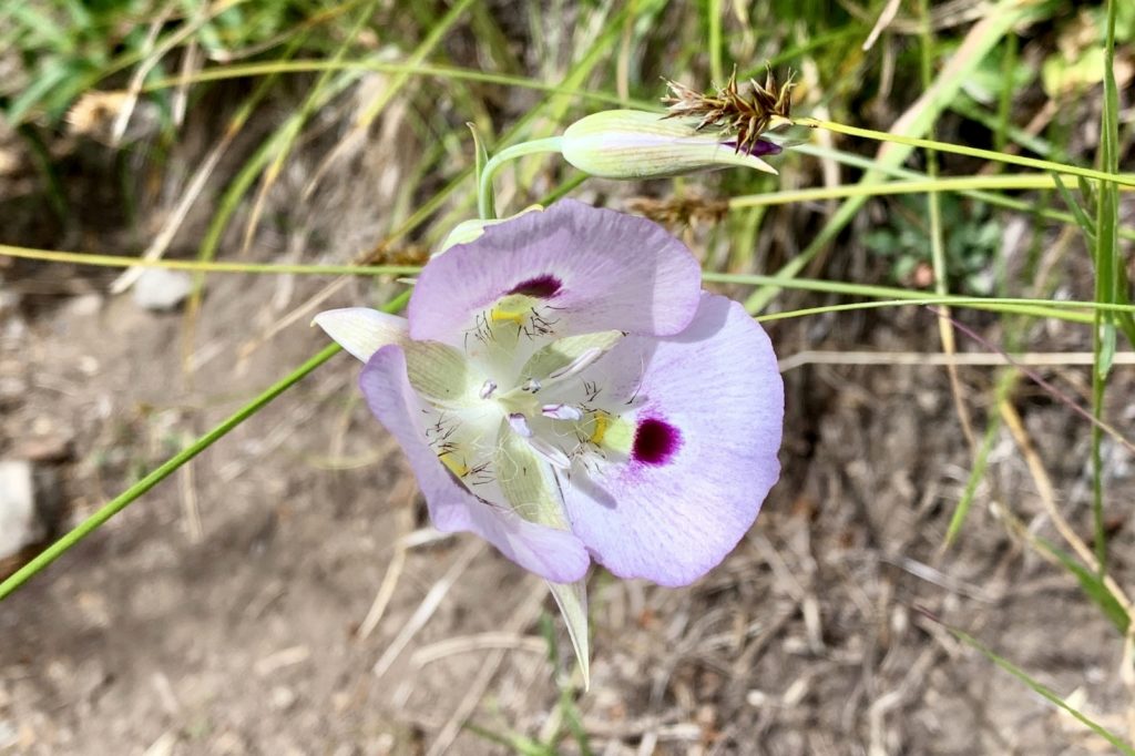
The first stretch of trail is the easiest, but the least interesting for scenery. After filling out our free wilderness permits, we set off on the West Fork Wallowa River Trail (#1820). After just a few yards, the East Fork Trail to Aneroid Lake began straight ahead while we continued to the right. The trail climbed to a junction with the Chief Joseph Mountain Trail at 0.3 miles where we continued along the main trail to the left. The trail continued a relatively gentle climb for the next 2.5 miles. We had occasional glimpses of the West Fork and a few distant peaks, but otherwise it’s a pretty pedestrian stretch of trail through the trees. They hadn’t brushed the trail out yet, so we had to slip through a few overgrown sections that had stinging nettle.
At three miles from the trailhead and after 900′ elevation gain, we came to the Ice Lake Trail (#1808) to the right. We knew our climb would steepen, so we took a break just past the junction. Here we met a nice couple from Bend, Oregon who were maybe a decade our senior. They had been to Aneroid Lake and then up and over Polaris Pass which they reported was pretty dicey with snow. They had wanted to head up to Frazier Lake, but reported that the crossing of the West Fork was too swift and high. This matched reports we’d received from a strong pair of younger backpackers earlier in the day who reported lots of snow over Glacier Pass and barely making it across that same crossing of the West Fork. The Bend couple was now headed to Ice Lake and we’d leap frog with them along the trail for the next two days.
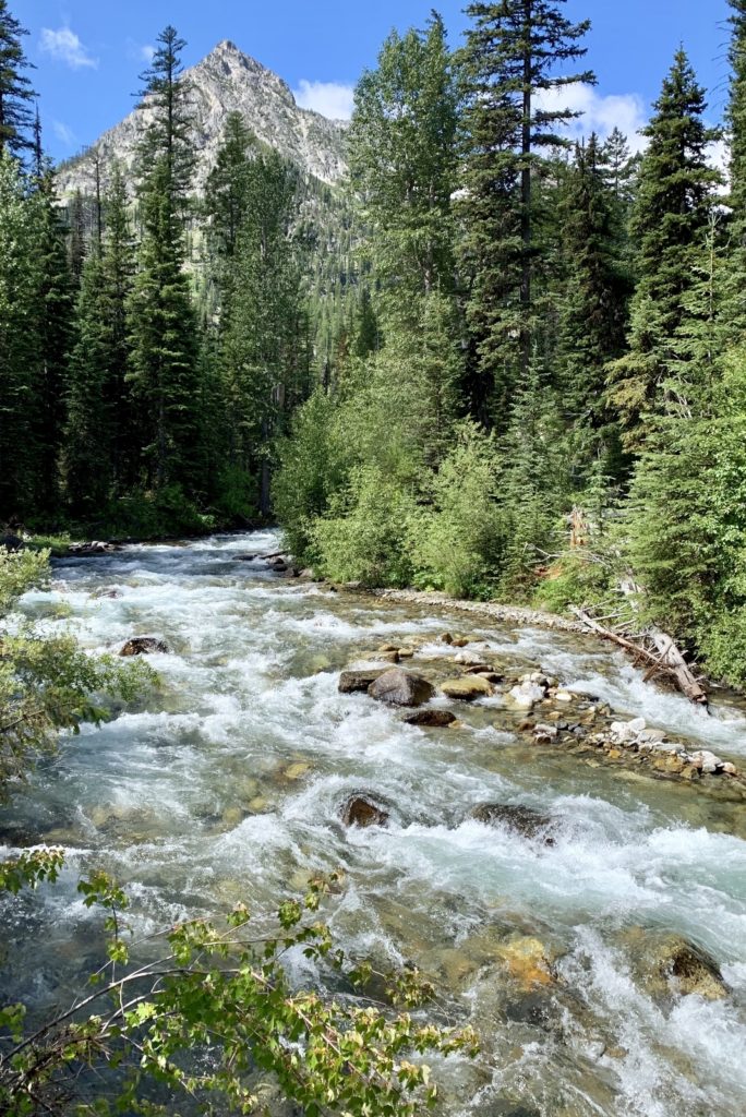
Shortly after the Ice Lake junction, we crossed the West Fork Wallowa River on an impressive footbridge. For years, there was no bridge here and the river crossing could be quite precarious in July when snow melt swells the river. I was happy for the easy, dry crossing.
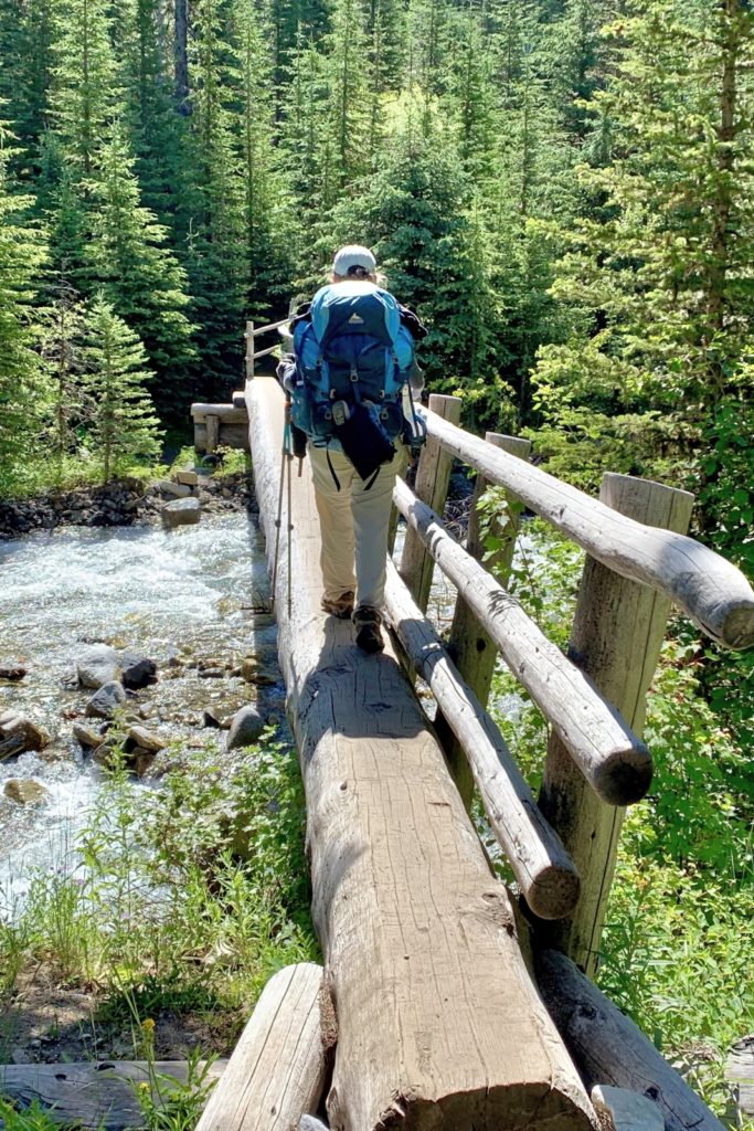
crossing the West Fork 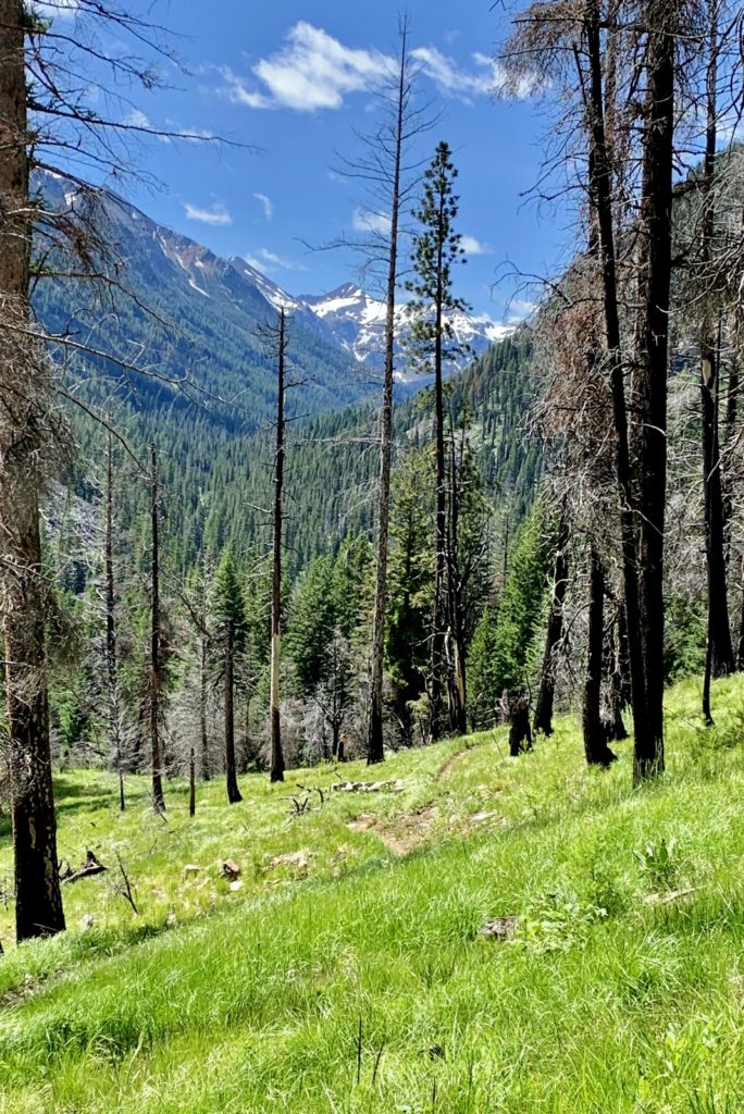
glimpse up canyon toward snow-covered Polaris Pass
From the river crossing, the trail climbs 1,300′ over the next 2.75 miles. The first half is a relatively gentle climb through the forest with only an occasional interesting view. The trail then steepens and begins a series of increasingly rocky switchbacks with a few spectacular viewpoints of the various falls of Adam Creek in the gorge below.
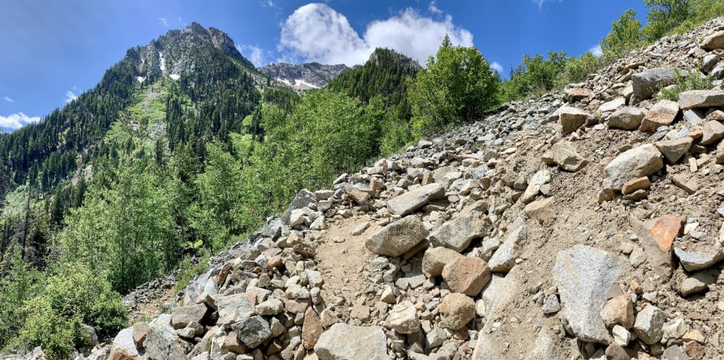
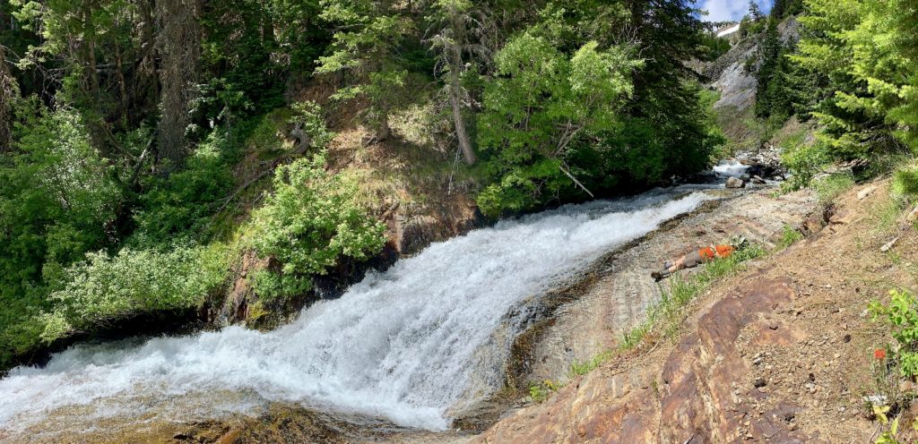
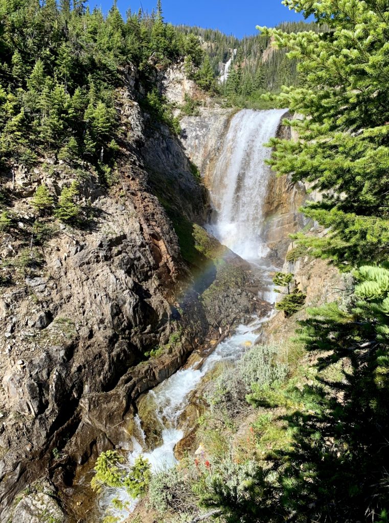
At 6.0 miles from the trailhead, we came to a wildflower filled meadow with impressive views of Middle and Upper Adam Creek Falls, Craig Mountain, and massive Hurwal Divide. Here we found a pair of stream crossings and a couple of campsites that we were expecting. We needed more water and were ready for a break. We debated staying here for a night. Ice was still another thousand feet up, the view here was stunning, and we had an extra day if needed. After cameling up on water and a nice long snack break, we felt re-energized and decided to make the final push to Ice Lake.
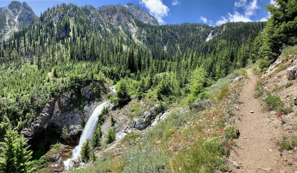
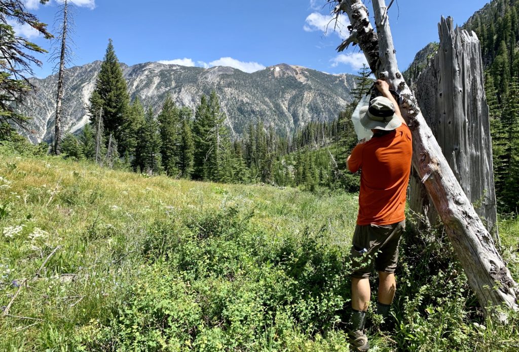
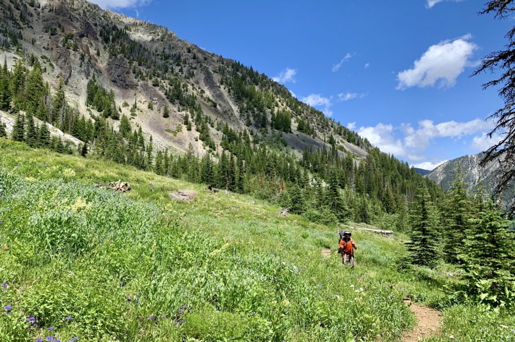
The remaining 2.5 miles and 1,000′ gain to Ice Lake were much easier than I expected. The trail made 12 long, gentle switchbacks over good tread with very few rocks making for an easy ascent. We had stunning 360 degree views above to Craig Mountain and Hurwal Divide, down to the West Fork Wallowa River, and across to Aneroid Peak. Before we knew it, we were topping out and staring at impressive Ice Lake.
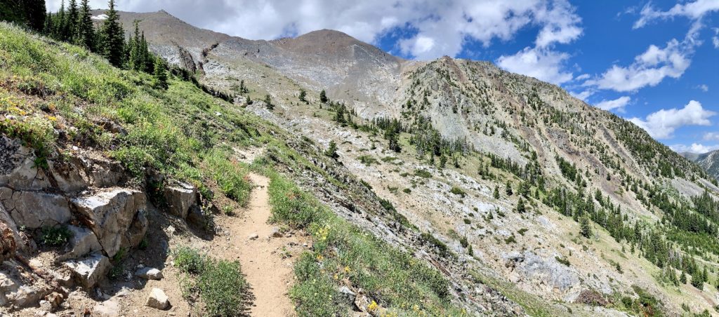
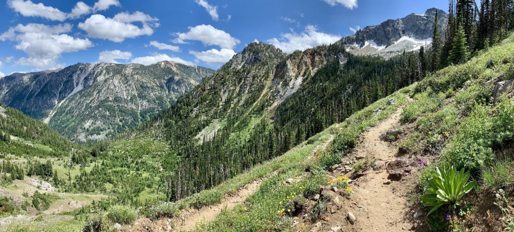
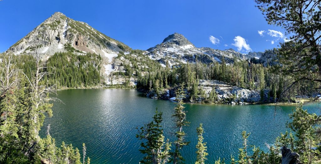
Ice Lake (elev. 7,850′) sits at the base of the Eagle Cap’s two tallest peaks, Sacajawea (elev. 9,838′) and Matterhorn (elev. 9,826′). To the north, massive Hurwal Divide extends from Sacajawea creating a massive wall. To the south, Craig Mountain towers above.
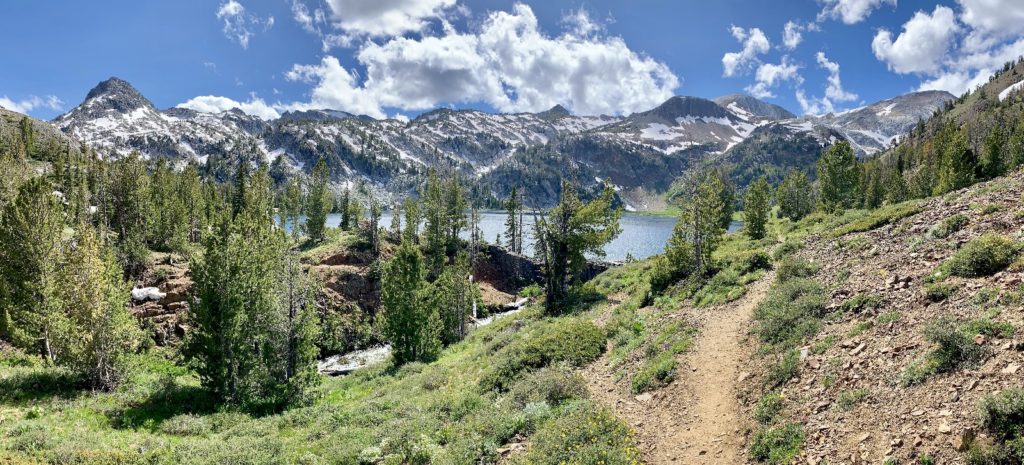
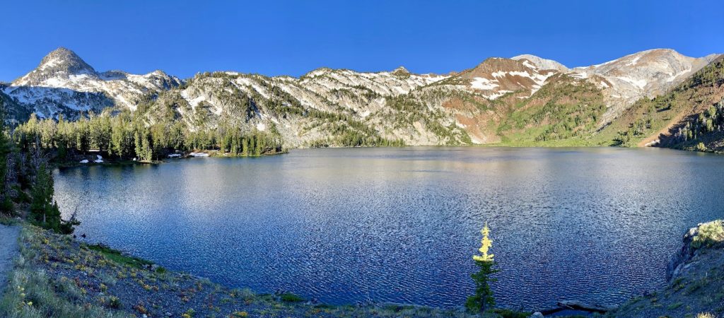
We crossed the outlet stream and continued along the left side of the lake. We soon came to a large peninsula with abundant lakeside campsites. We made our way around some snow drifts and chose a site above the water with fantastic views to the south. Another peninsula protruded from the opposite shore creating what almost appeared to be a small lake off the main lake. While the main body of Ice felt massive and imposing, our little side of the lake felt tranquil and intimate. Yes, this was one of the nicest campsites we’ve ever found. And we even had solitude. While several other parties were camped at the lake that night, we couldn’t see or hear anyone from our site.
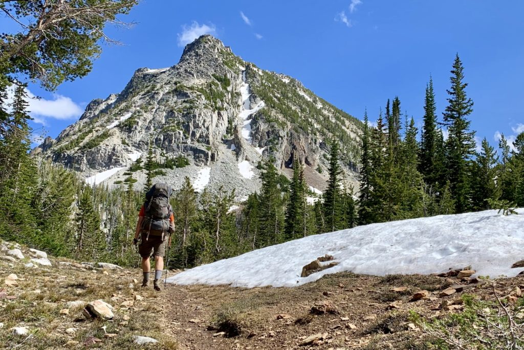
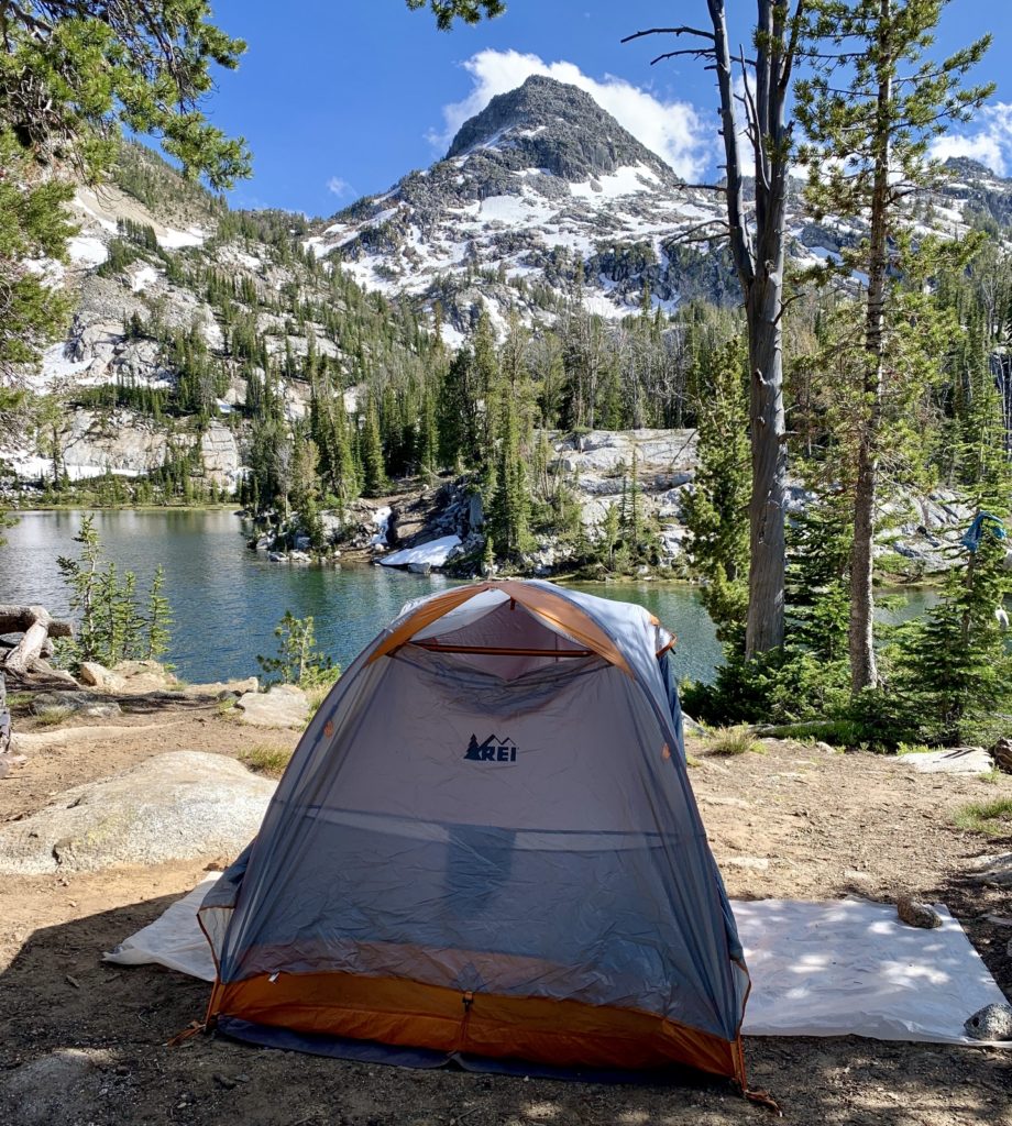
After setting up camp and filtering water, we were both more than ready for dinner. We had a dehydrated chicken and rice dish with a side of couscous. After dinner, we settled in for a rousing hand of Five Crowns amidst the company of some blood thirty mosquitoes. This provided a good opportunity to try the head nets we had purchased—they worked fantastic. Just keeping the little blood suckers away from our face and eyes felt like a real moral victory!
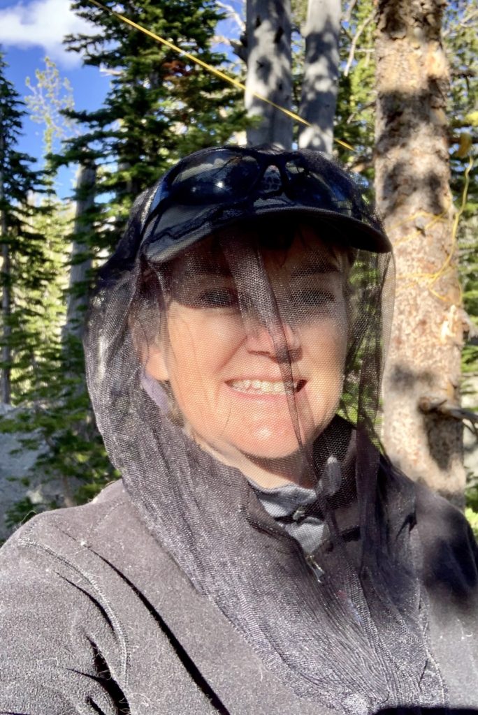
we highly recommend head nets! 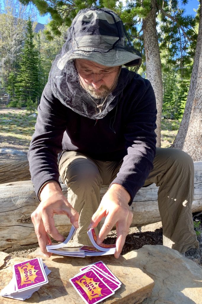
evening entertainment
We had a quiet but breezy night at Ice Lake. A nearly full moon shone over the mountain peaks and our tent like a spotlight. We crawled out of the tent around 4:00 with the faintest hint of dawn on the horizon. Temperatures dropped to 37 with a breeze that made it feel even cooler. One benefit, it was too cold for mosquitoes. We enjoyed a couple cups of Starbucks Via and had a Mountain House Skillet breakfast before breaking camp and making our way back to civilization.
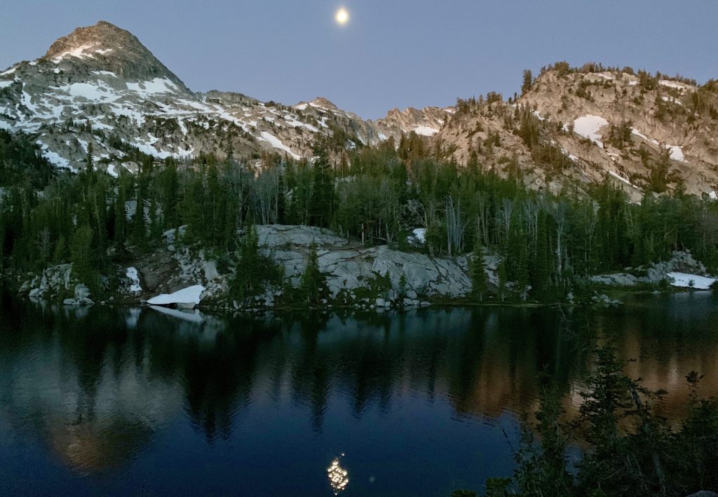
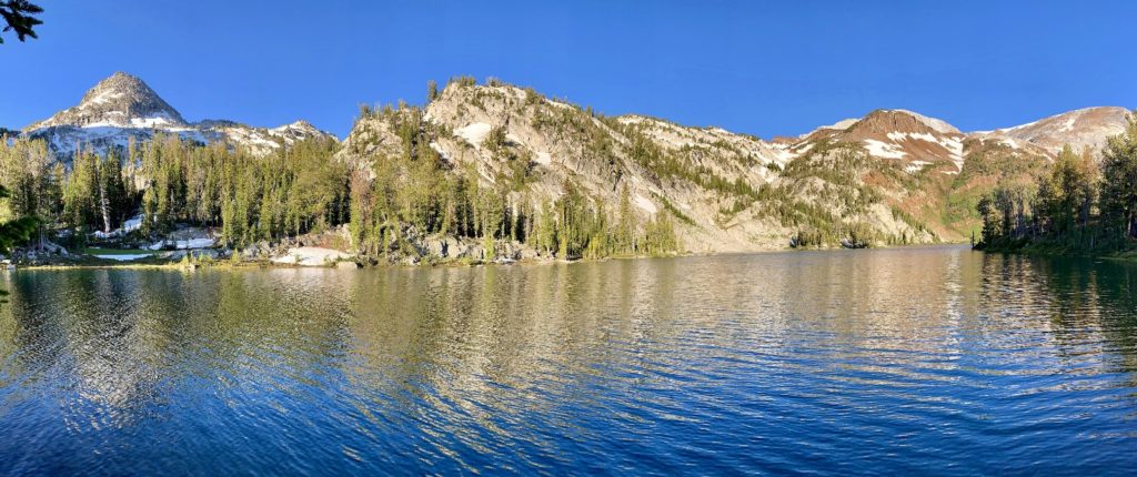
Our visit to Ice Lake was well worth the effort that it took to get there. The lake was one of the most scenic we’ve visited and our campsite couldn’t have been more beautiful. We were pleased that we were able to do the hike mid-week. On our return hike, we passed multiple groups headed into Ice and it seemed like it was going to be a more crowded night at the lake.
Video Gallery
Our Amazon Store
Links to a few of our recommended tried and true items we used on this trip. Accessing Amazon through these links and making any purchase gives you the same great price and Amazon shares a little with us. This helps us maintain this website. We appreciate your support!
WOW, while reading your narrative of your hike up to Ice Lake, I felt I was right beside you. (I know that will never happen)!
Mom,
Did you grunt and groan while you read it? If so, then it was JUST LIKE if you had been there! 🙂
Lusha
No grunts or groans but, I could (almost) visually see and feel the climb.
That is a beautiful lake! Thanks for sharing it!
This truly is a stunning high mtn. lake! I hiked it three summers ago with my wife and two of our kids. We spent two nights up there which allowed us a wonderful opportunity to relax from the taxing journey and explore Matterhorn and the surrounding areas. Absolutely beautiful!!
Beautiful photos!
Is Eagle Cap accessible yet or is it still snowbound?
Thank you Joe. We’ve not been to the Eagle Cap yet this year, but our region has had a very wet and cold spring. My guess is the river trails are snow free, but any of the alpine lakes and passes likely still have quite a bit of snow. I recommend calling the Forest Service in Joseph, they are always a huge help.
Happy trails!
Lusha