I heard Jason moving and saw his Kindle light come on. It was pitch black outside and the dull glow of the Kindle looked light a spotlight. I fell back to sleep for a bit and finally heard him say, “Lush, it’s 4:10, let’s get going.” It was time to head home.
We got out of bed and navigated around camp by headlamp. We enjoyed two cups of coffee and breakfast while watching the stars fade into daylight. We were lucky enough to catch a few meteors shooting across the sky from the Perseid meteor shower. Temperatures felt mild, but we still bottomed out at 32 degrees and noticed some frost on our hike out.
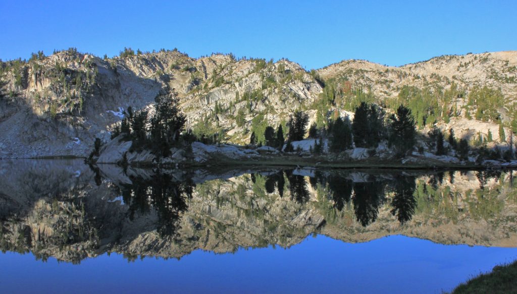
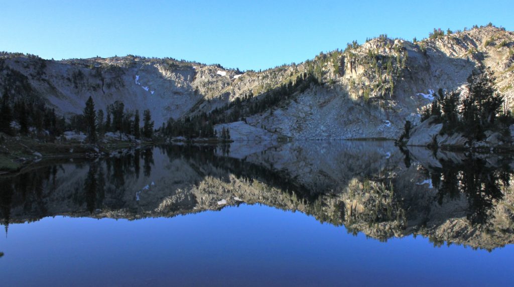
We left our beautiful camp at Swamp Lake (elev. 7,779’) just before 7:00. We couldn’t have asked for more at Swamp—a stunning campsite and very few people seen. We made the hike around the lake and started the 780’ climb out. Thanks to the well-graded trail, the climb was almost always gradual making for an easy climb despite the elevation.
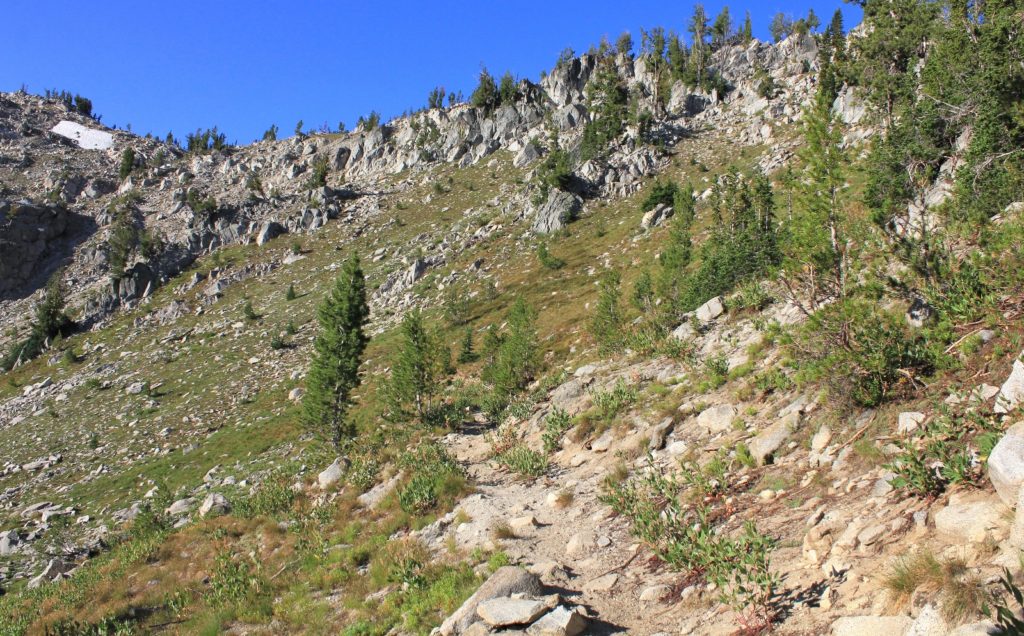
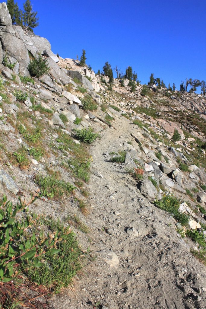
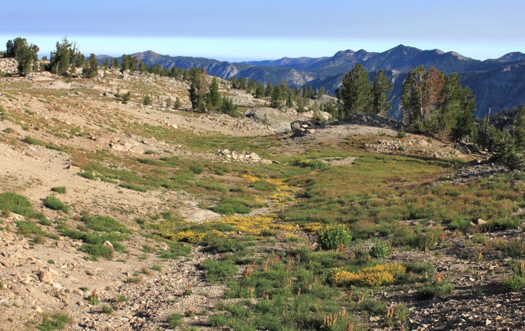
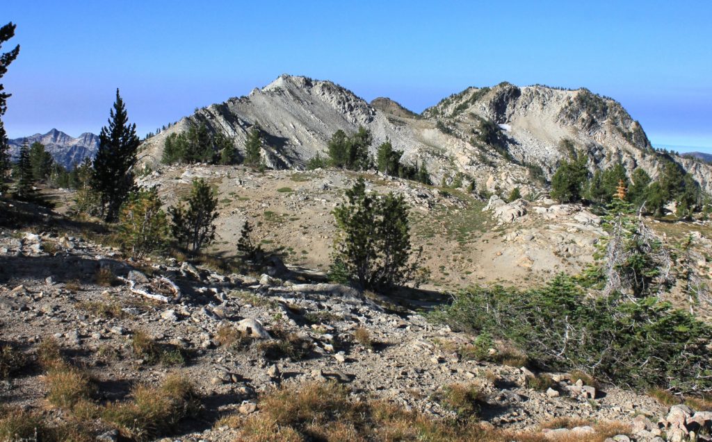
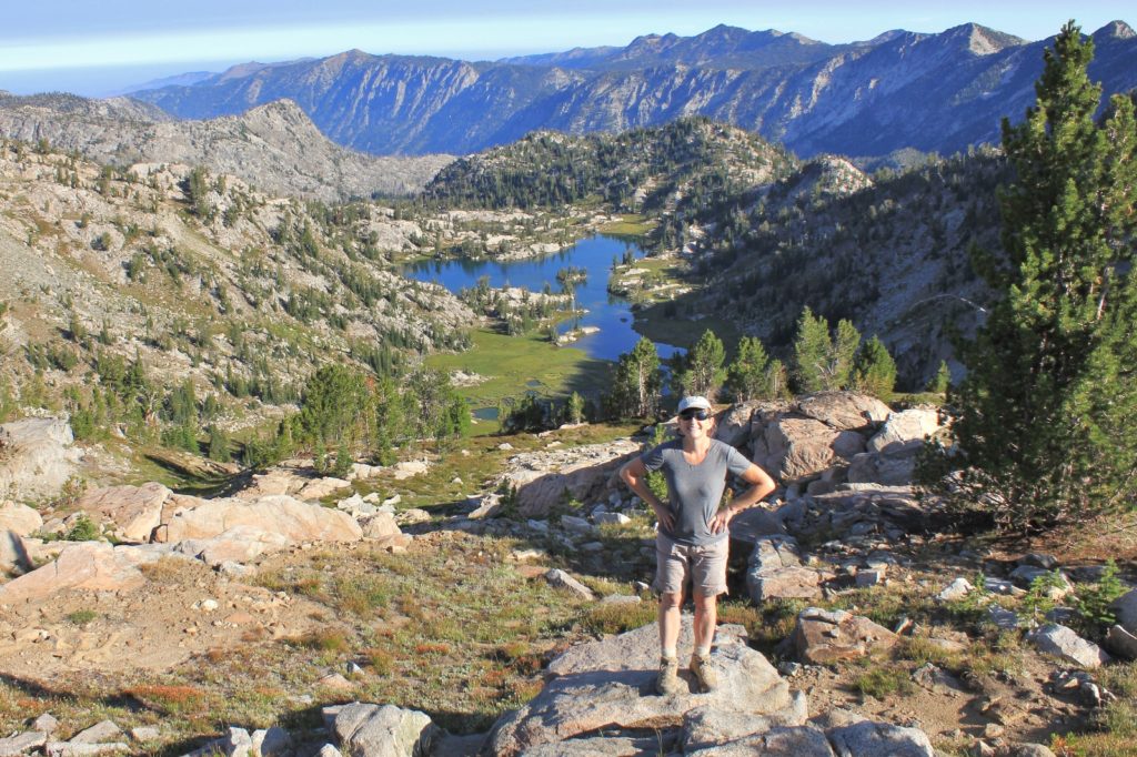
Just past the top out point at 2.27 miles (elev. 8,556’), we stopped for a break to enjoy our last views of Swamp. We were already missing being camped there, but it would be nice to be home and sleep in a comfortable bed.
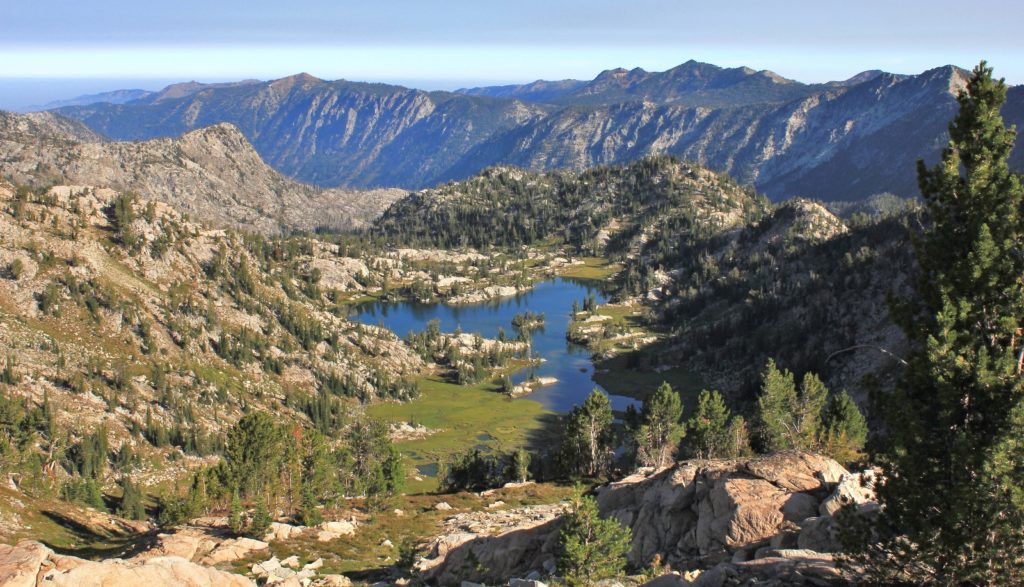
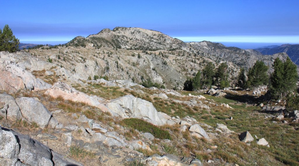
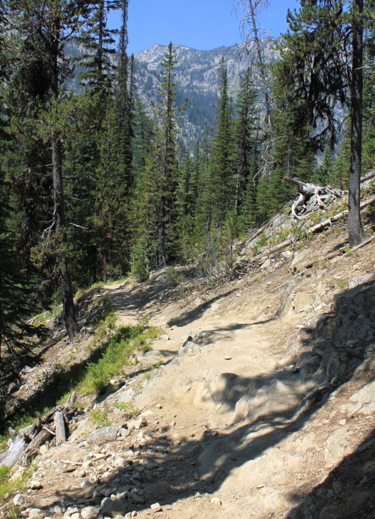
We hiked across the ridgeline enjoying the morning views. Soon we noticed a white line in the canyons below us. It was a thick layer of wildfire smoke. We’d been fortunate enough to be above the smoke for two days, but now we were heading back down into it. We made the 700 foot descent into Elkhorn Creek Basin. The trail was a bit rocky at times, but it was generally a mild descent.
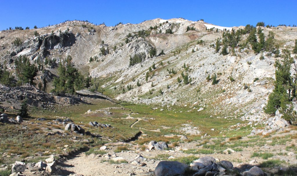
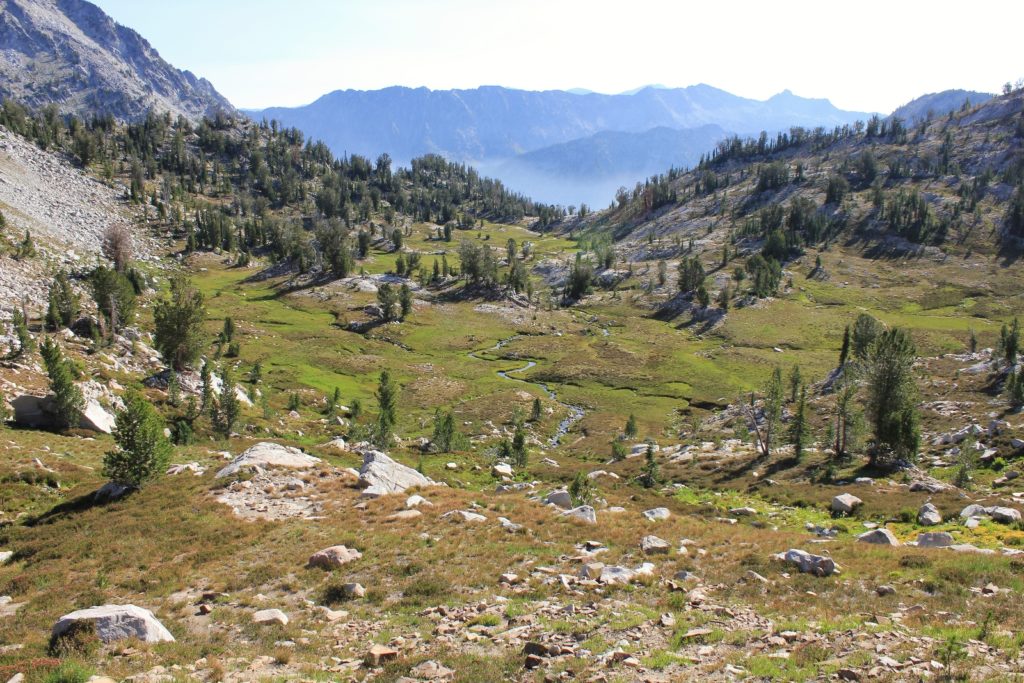
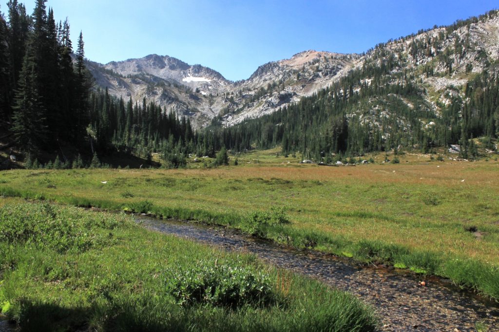
We reached Elkhorn Creek at 4.0 miles from Swamp. Like on the hike in, we enjoyed this basin with its wide open views and charming little stream.
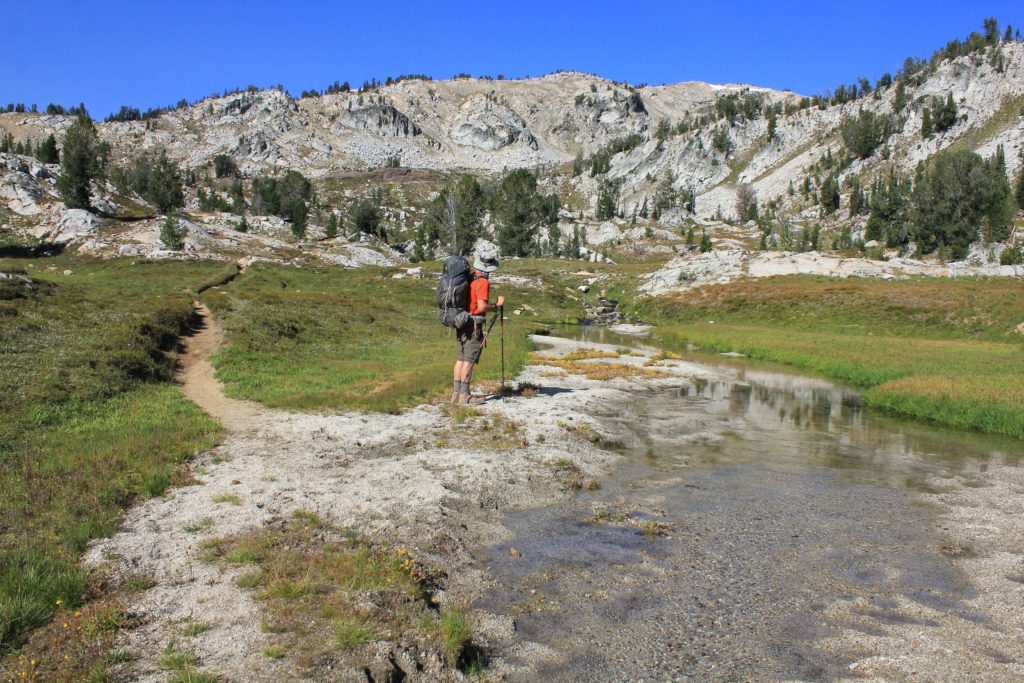
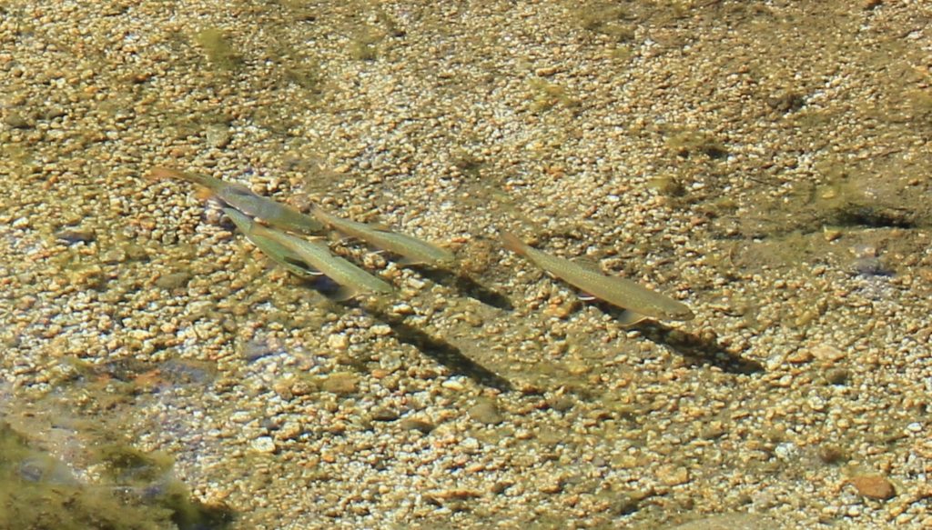
From Elkhorn Creek we made the 1.0 mile, 550 foot descent into Copper Creek Meadows. Here we met three brothers who appeared to be in their late 50s to early 60s. One was from Berkley, one Seattle, and one Washington DC. They had hiked in the Eagle Cap as boys and were making their first return trip. They asked us several questions about where we had been. They were so excited they looked like little boys on Christmas morning.
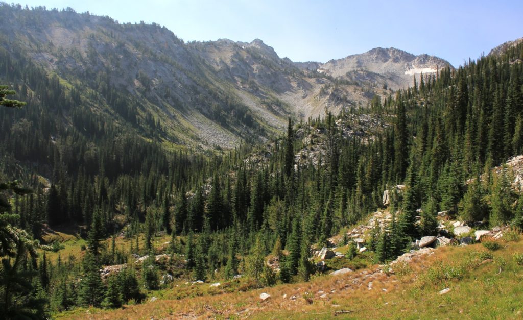
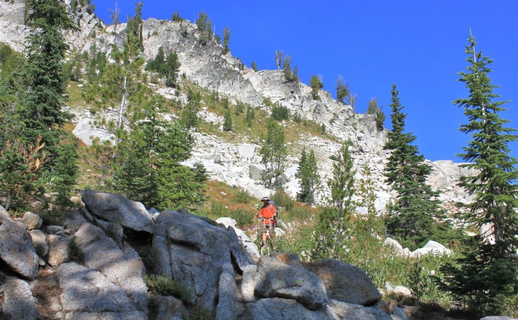
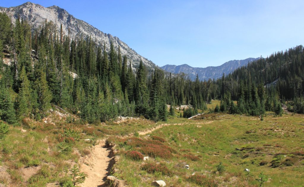
Reaching Copper Creek at just over 5 miles from Swamp, we took a nice break in the shade next to where we had camped on night one.
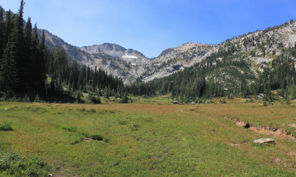
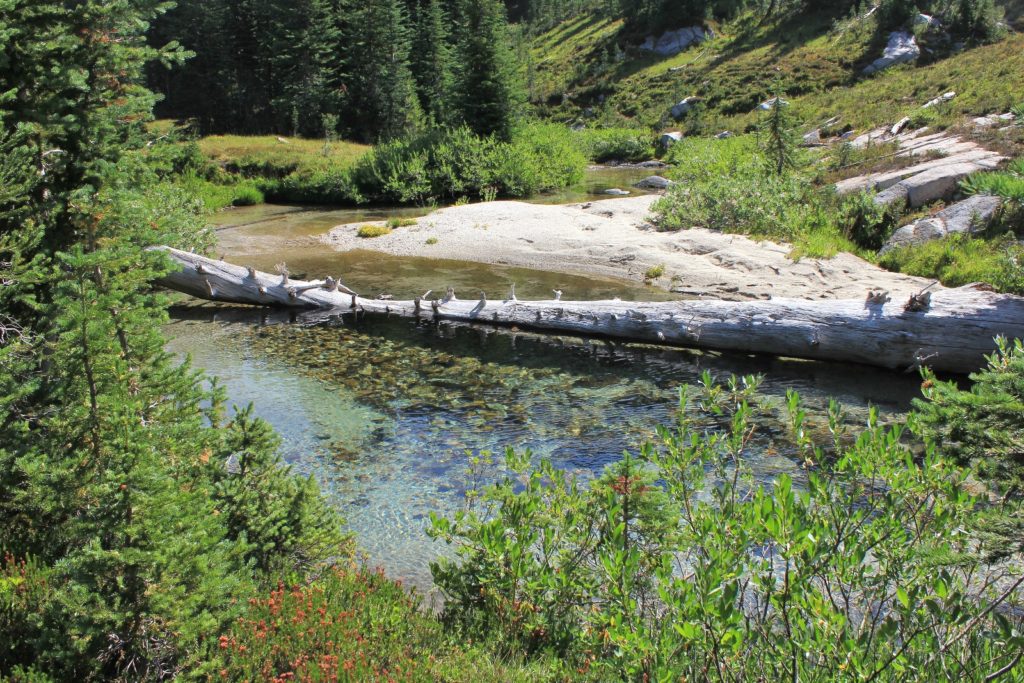
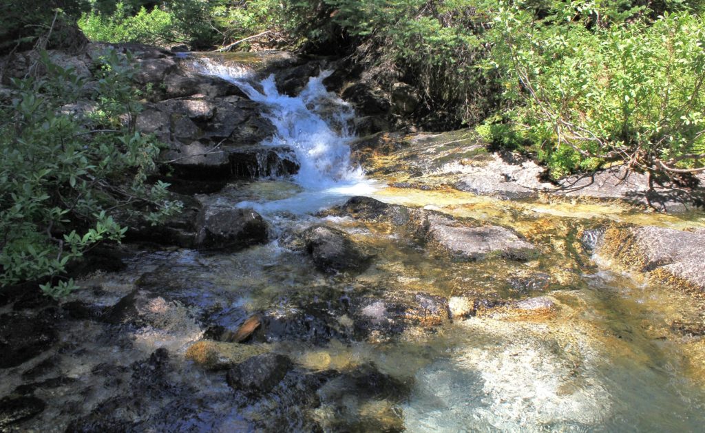
Next up was the nearly two mile, 800’ descent to the crossing of the West Fork Lostine River. It was during this stretch that we had one of our more unusual trail encounters. On the half mile descent between the two Copper Creek crossings, we met a very friendly man leading a string of four pack horses. He was flamboyantly dressed as a cowboy and was carrying a lot of gear. Really, this guy was dressed to the nines. Jason asked if that gear was all for him and he said he was carrying it in for a group of four backpackers bound for Steamboat Lake. He asked about conditions at the lake and was very pleased when we reported we’d had it to ourselves the day before.
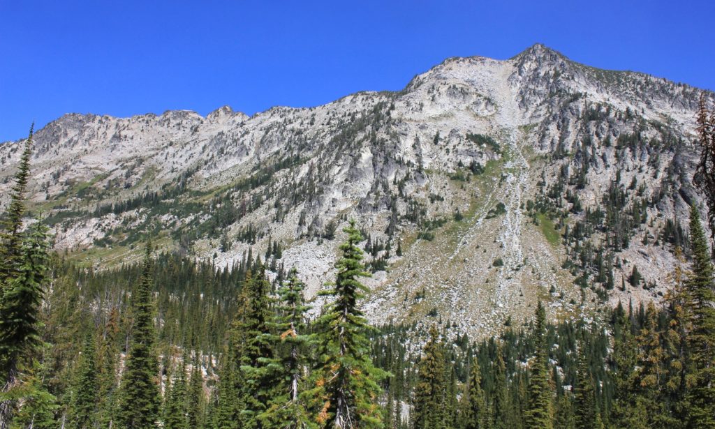
Over the next mile, Jason and I speculated as to what those backpackers might look like. Surely they were in excellent shape. It was already nearly noon and the group was just four miles in on a twelve mile hike. The most difficult elevation gain was still ahead of them over mostly shadeless terrain in the hot August sun.
About a mile later, we could see four people coming up the trail at a very slow pace. As I approached, I greeted the lead hiker. He didn’t give much of a reply and as I got closer I noticed that he was a young Asian man. I asked if he was with the horseback rider up ahead. He didn’t seem to understand what I was asking. “Horses?” I asked and pointed up the trail. “Yes, horses,” he said in a thick accent. I asked if he was going to Steamboat Lake. “Yes, Steamboat” he replied and nodded his head. “Steamboat very beautiful,” I said with enthusiasm. He got a big smile on his face. I added, “Swamp Lake beautiful too.” His smile got even bigger. By this time, two other young Asians (a man and woman) and an older gentleman (Jason thought he could have been close to 80) caught up. The older man, an American, had hiked into Steamboat eight years earlier and was looking forward to showing it to his young companions. He confirmed, yes they were going to Steamboat that night. He already looked like he was struggling with the elevation and heat. I didn’t see how Steamboat, or even Swamp Lake, was realistic for that night. Still, I couldn’t help but admire his spirit and enthusiasm which were more impressive from someone a quarter his age. We wished them well on their adventure (although I couldn’t imagine how they were going to make it unless the guide returned and gave them a ride). As we walked away, I could hear the older gentleman tell the young visitors, “see, that is what your pack would look like” and they all responded with impressed “aaahhhs”. This group could not have looked more out of place, but what amazing country they were about to see!
We came to the West Fork Lostine River crossing (elev. 6,488’) at 7.0 miles from Swamp Lake. It was noon straight up and we’d been hiking for five hours. We were about out of water and temperatures were really heating up. We took the opportunity to enjoy another break and filter some water for the final three mile stretch.
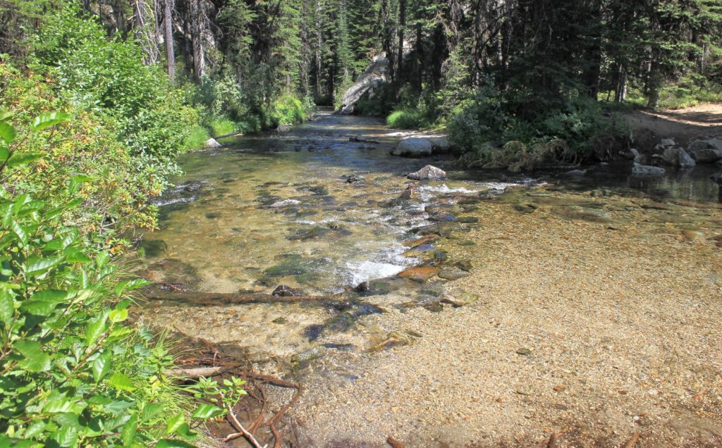
We saw as many people on the final two mile stretch as we’d seen the entire trip. First it was a family of four (dad, mom, son, and daughter). They were doing the Minam-Mirror loop for the first time. I told them they wouldn’t be disappointed. Next was two men doing the same loop, again for the first time. Both parties were enthusiastic and eager to hear our reports from our trip there. At the junction with the Mirror Lake trail, we passed a young German couple day hiking to Mirror Lake. Their first question was, “was it cold at night?” They woman seemed very impressed by our report of 25 degrees and ice. We passed several other hikers, but by now we were beat and weren’t great conversationalists. We were ready to be done.
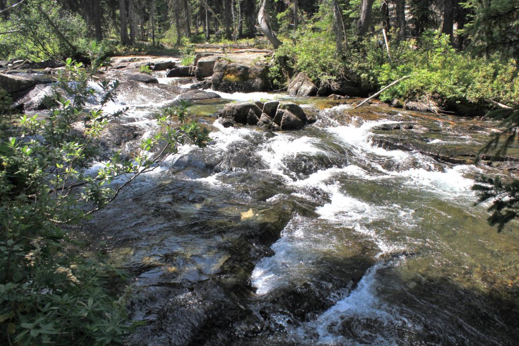
Two Pan Trailhead was still packed, but the overflow parking wasn’t as bad as we’d seen on Saturday. I counted 65 vehicles plus about ½ a dozen trucks with horse trailers. Back at the Jeep we grabbed an ice cold Pepsi and beer. We had hiked 10 miles with 780’ elevation gain and just shy of 3,000’ loss. We scrubbed ourselves as best we could with baby wipes and changed into Keens—ahhhh.
It was an hour drive down the rocky road to Lostine. The further we got from the mountains, the smokier conditions became. By the time we got to Enterprise, we could barely see the mountains. We pulled into Terminal Gravity, a favorite post-hike burger stop. We especially enjoy their park like outdoor seating. We both ordered burgers with extras loaded on. Mine wasn’t as good as usual (little dry), but it still tasted great after four days of dehydrated meals.
Related Posts
Oregon’s Eagle Cap Wilderness: Swamp & Steamboat Lakes Backpack day 1 (Copper Creek Meadows)
Oregon’s Eagle Cap Wilderness: Swamp & Steamboat Lakes Backpack day 2 (Swamp Lake)
Oregon’s Eagle Cap Wilderness: Swamp & Steamboat Lakes Backpack day 3 (Steamboat Lake)
Resources Used
Hiking Oregon’s Eagle Cap Wilderness
100 Hikes / Travel Guide: Eastern Oregon
Got Gear?
Click here to see some of our tried and true gear. By accessing Amazon through the links on this page, you get the same GREAT Amazon pricing and they share a little with us. You don’t even have to purchase one of the linked items, simply access Amazon through our site and purchase anything! This helps us maintain Evans Outdoor Adventures and is much appreciated! Thank you to our supporters!
