See three massive natural bridges, two arches, numerous Indian ruin & rock art sites, and beautiful canyons on this spectacular loop hike
Distance: 9 miles roundtrip (shorter options available)
Type: loop
Difficulty: moderate
Best season: spring and fall
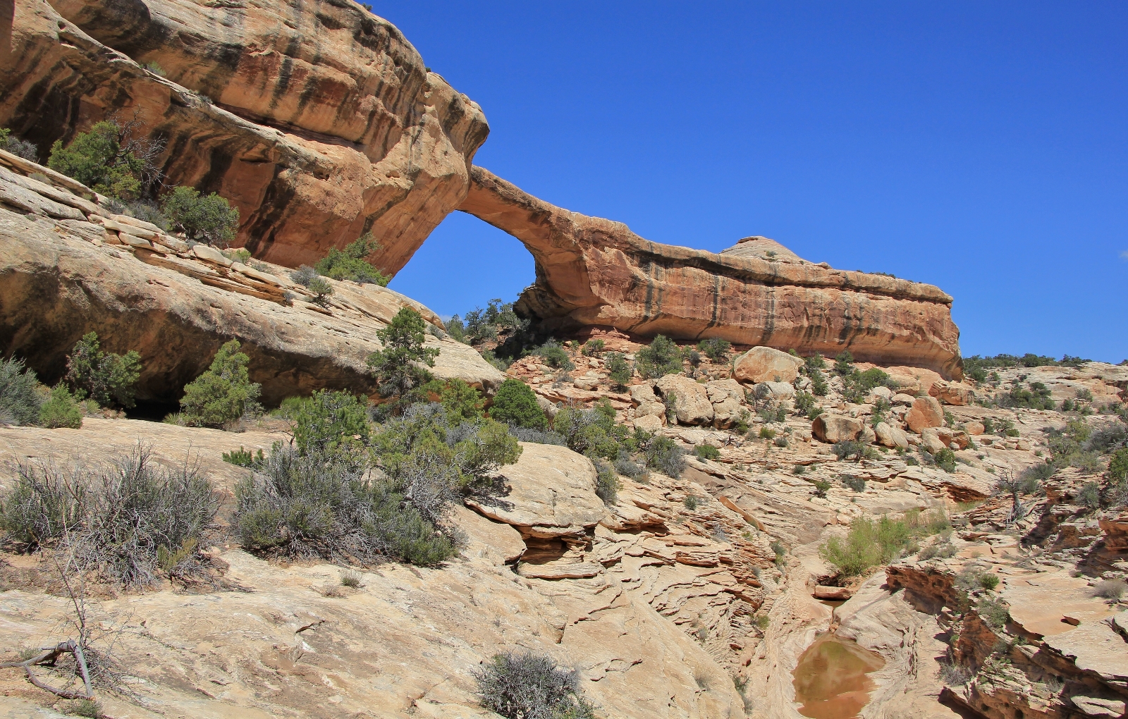

After visiting Sipapu and Kachina bridges (see part 1 of this blog), we came to the Owachomo Bridge – Kachina Bridge trail junction where we turned right and continued up Armstrong Canyon. We were finally bagging the full loop hike which eluded us in 2011 and 2012! Just past the junction, the trail bypassed to the left of Knickpoint Pour-off which prevents direct passage up Armstrong.
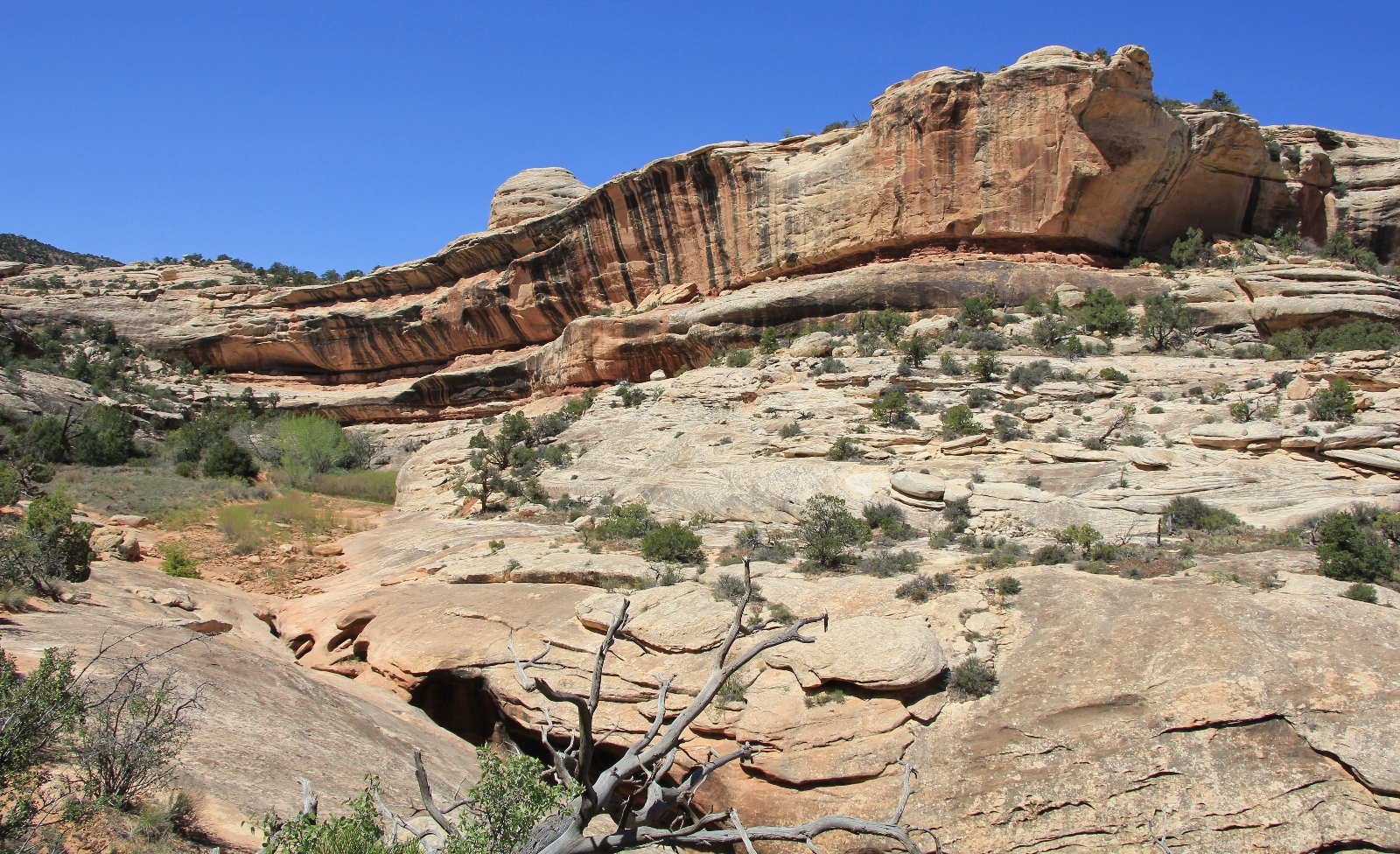
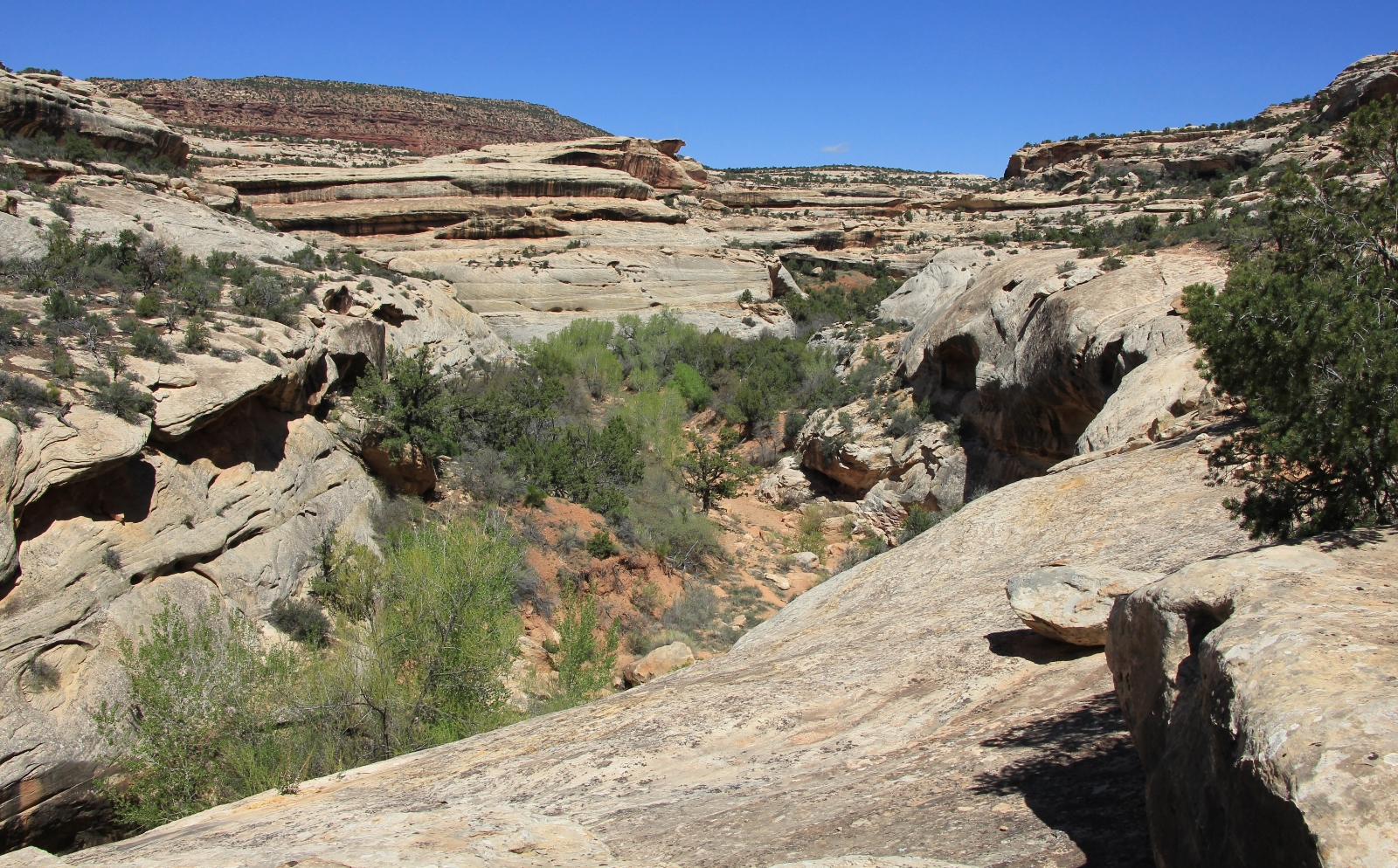
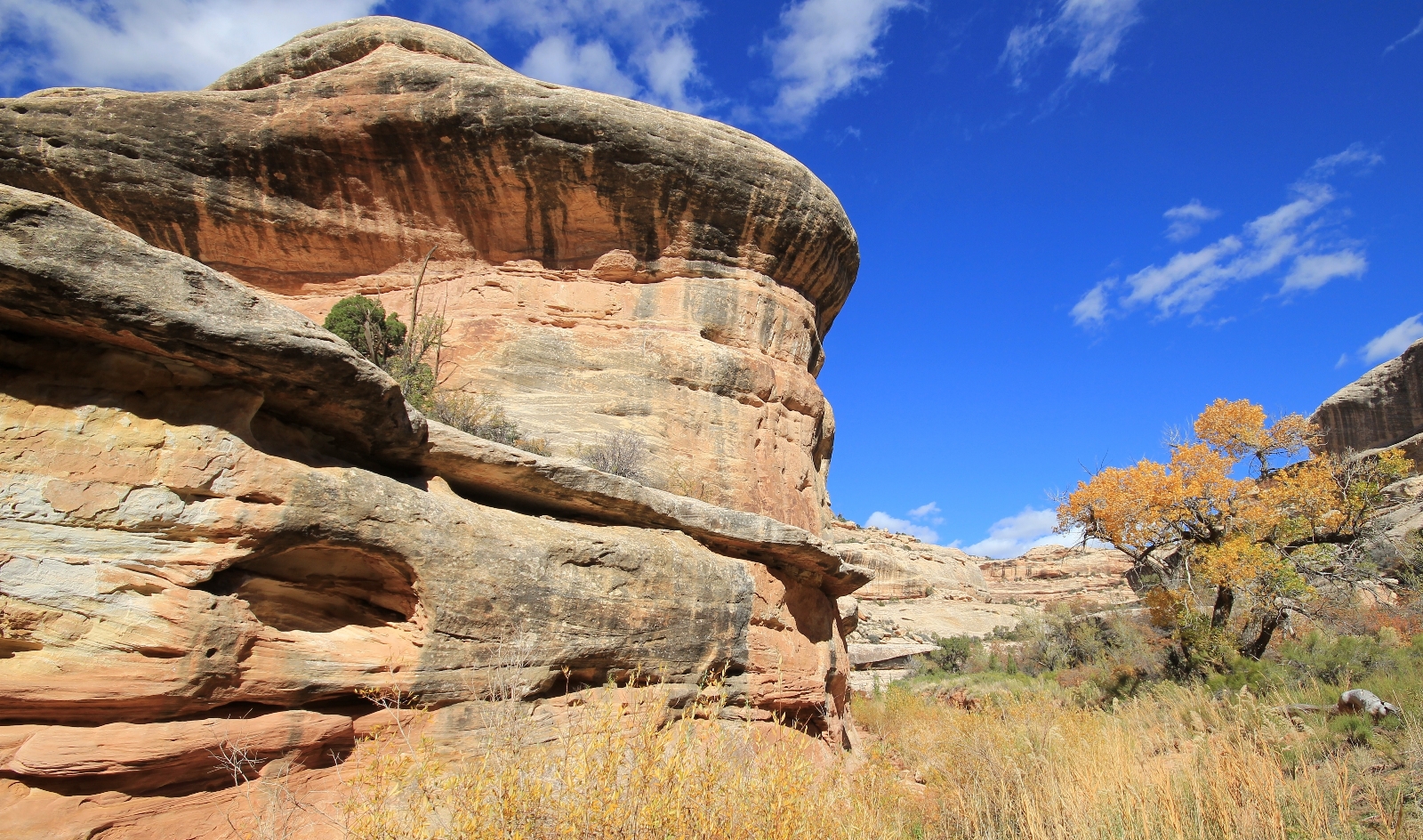
It is a lovely three mile hike from the junction to Owachomo Bridge. This unmaintained trail doesn’t get as much traffic as between Sipapu and Kachina and is a little faint in places, but it was still easy to follow. Armstrong Canyon isn’t as deep as White Canyon and I didn’t find it quite as scenic, but it was still a beautiful canyon stroll.
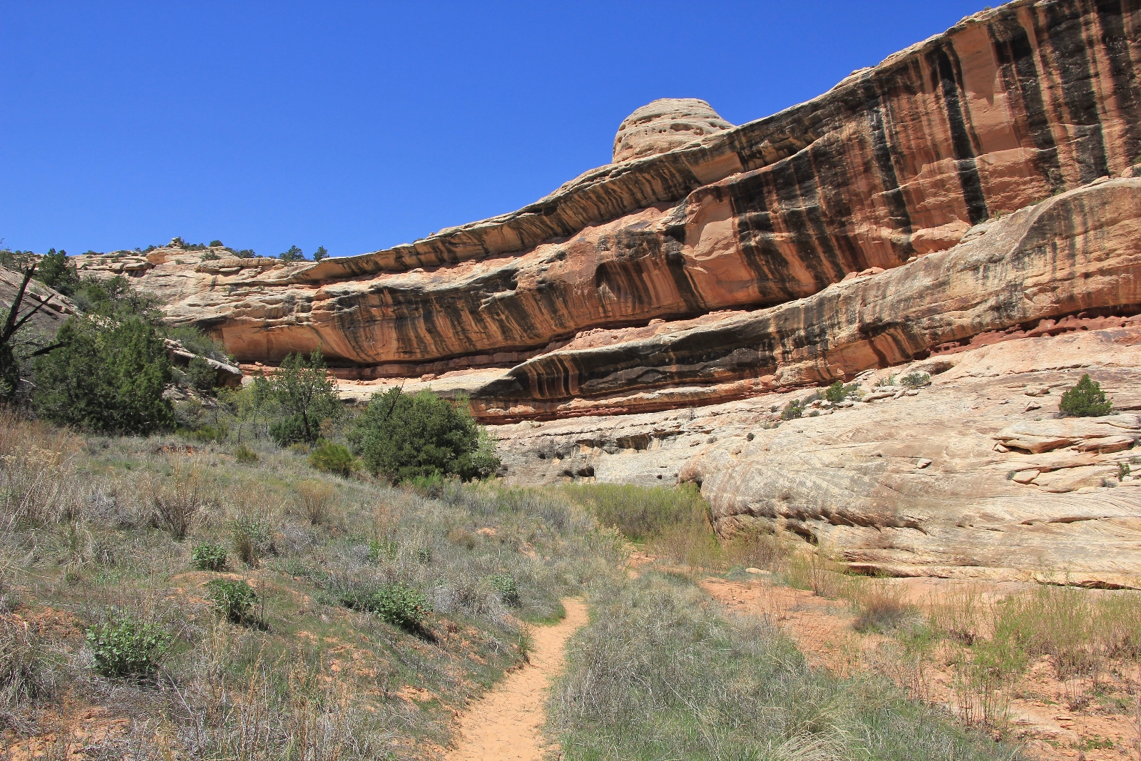
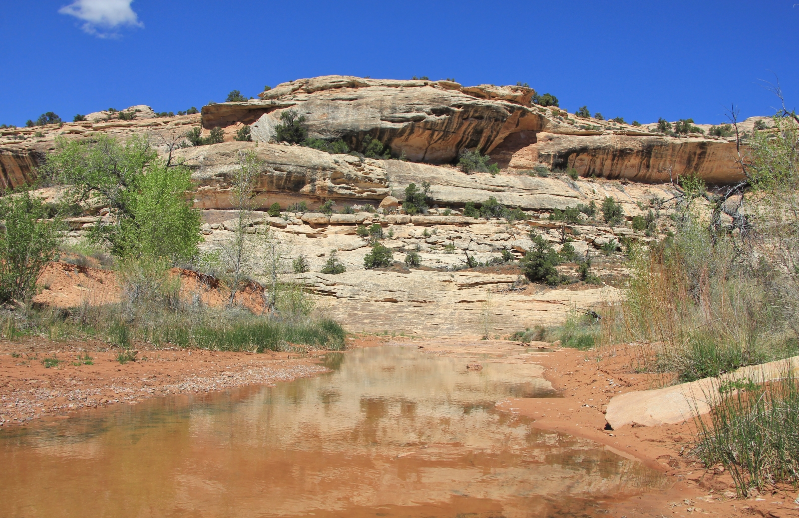
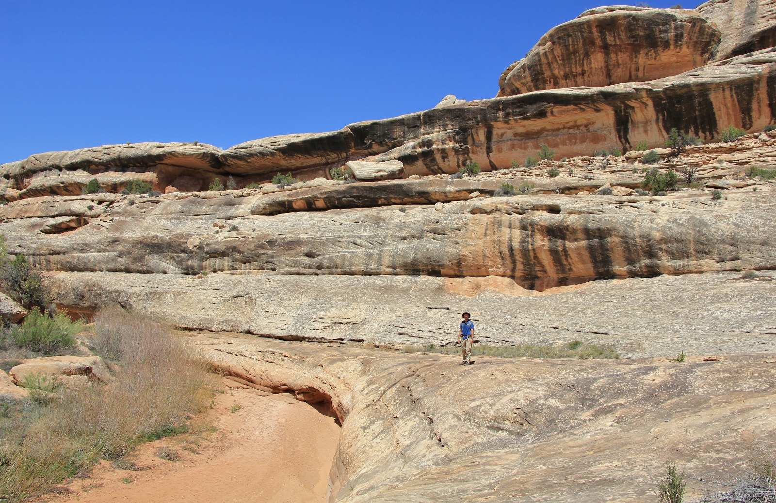

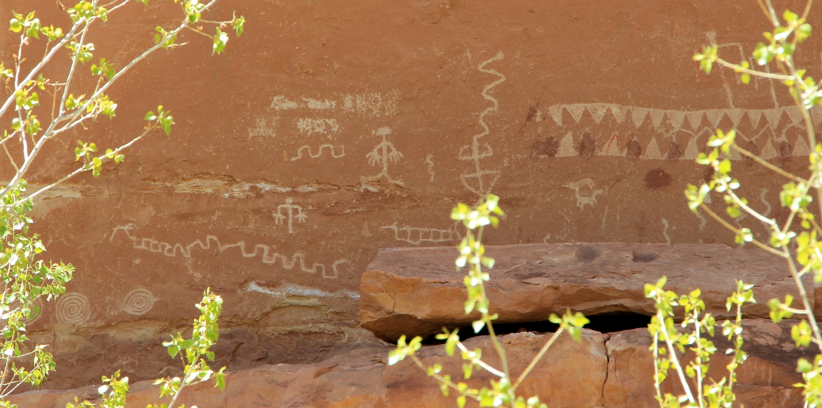
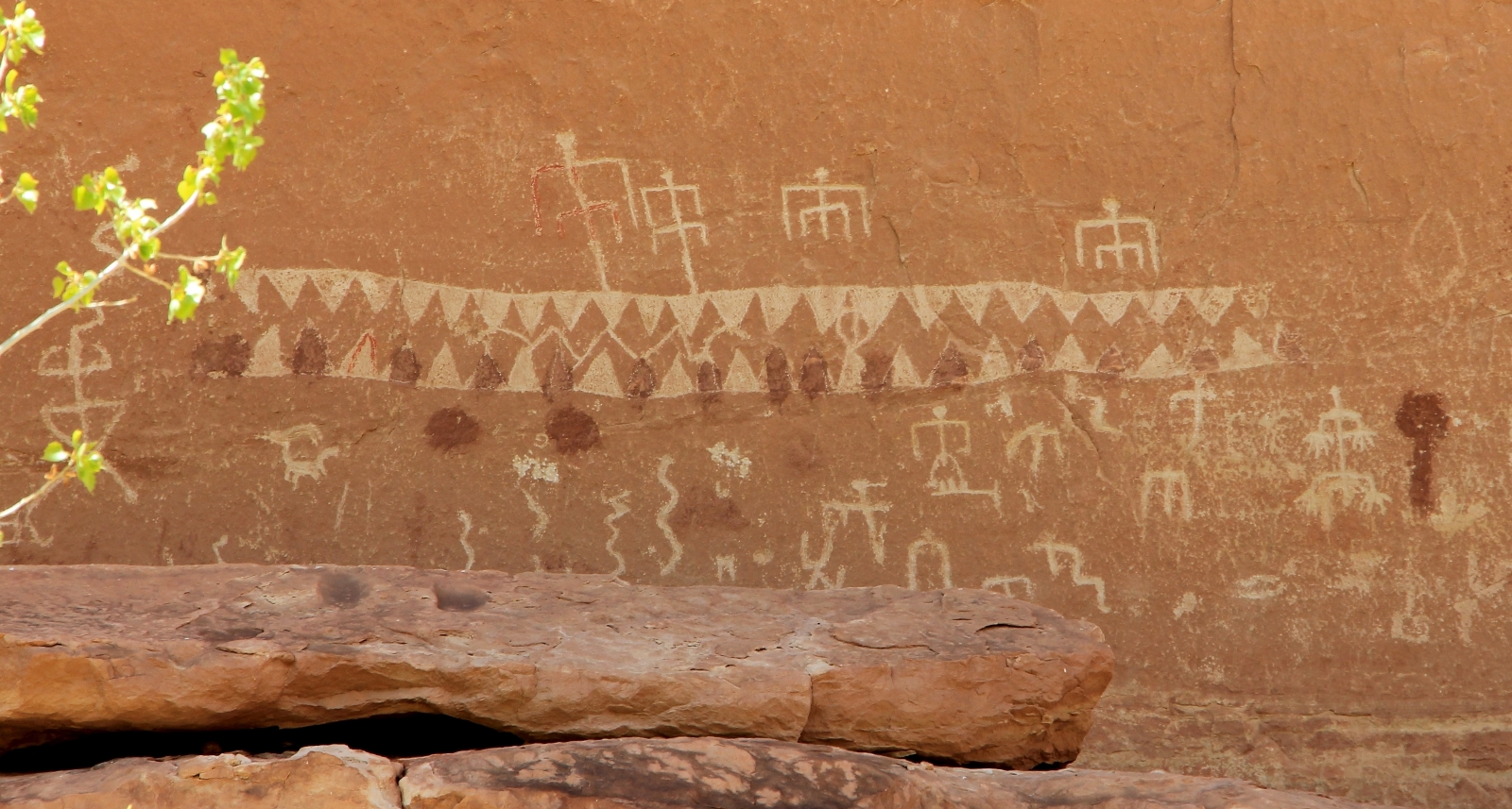
There is a nice rock art panel to the right of the trail in the vicinity of a large rock formation my gps identified as The Shoe.
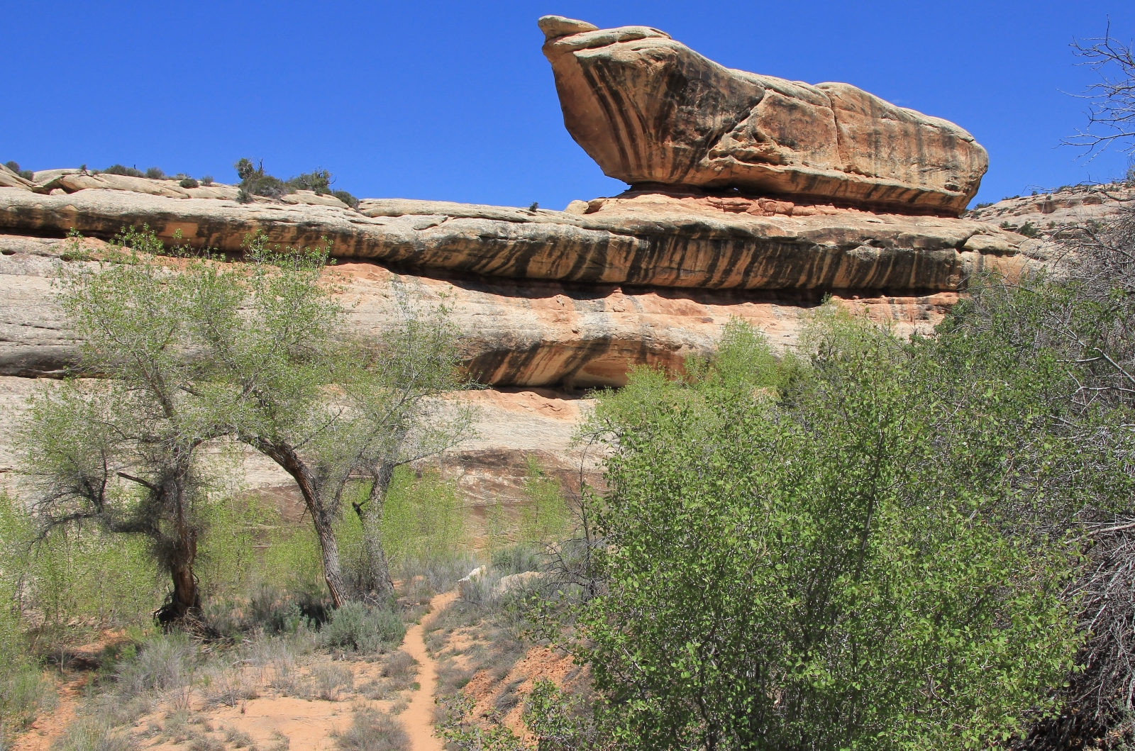
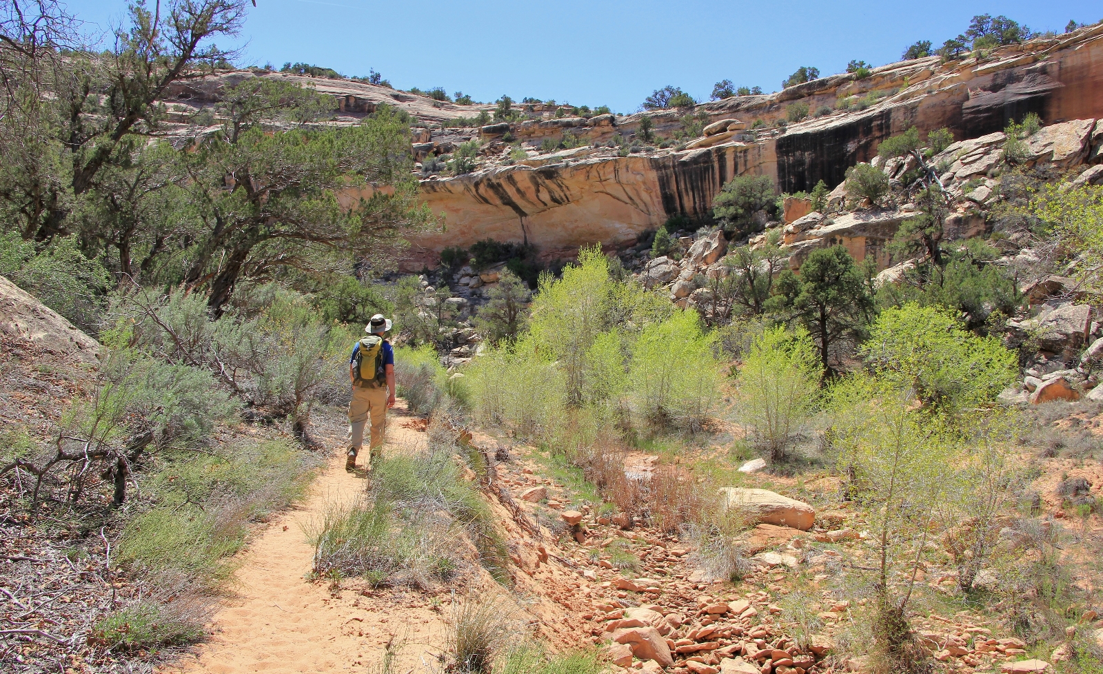
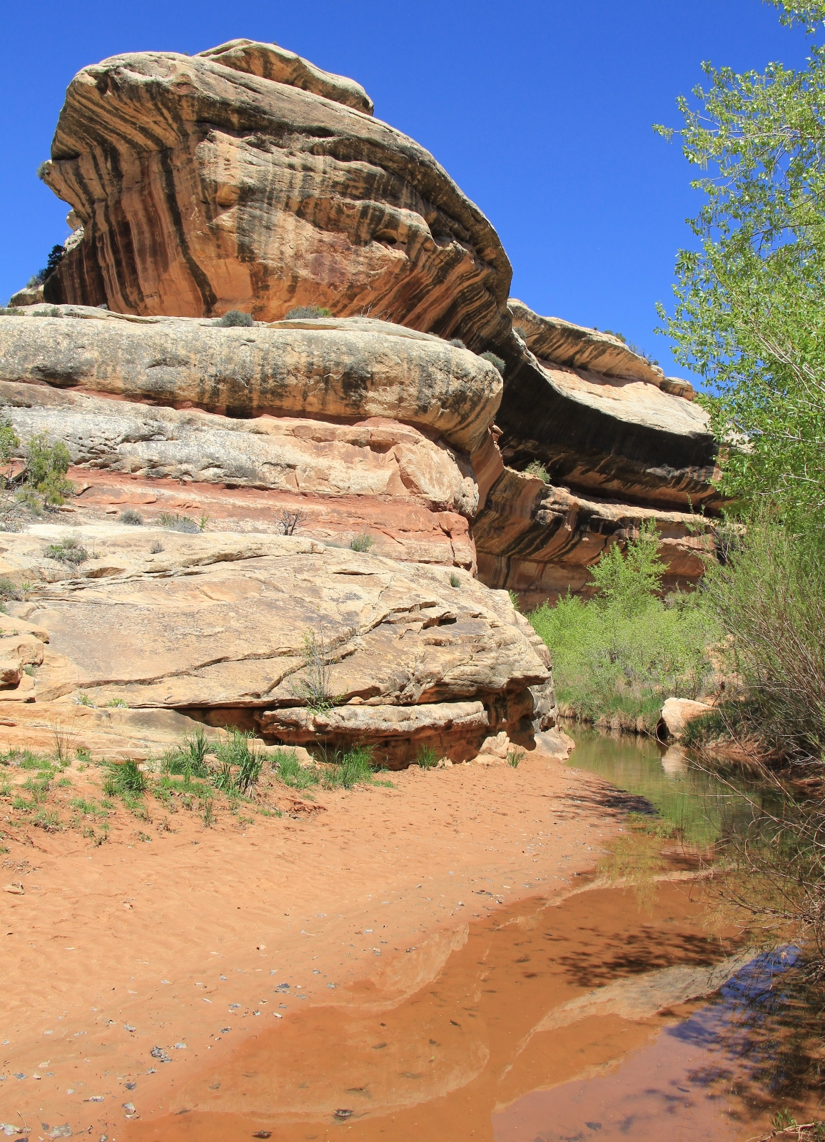
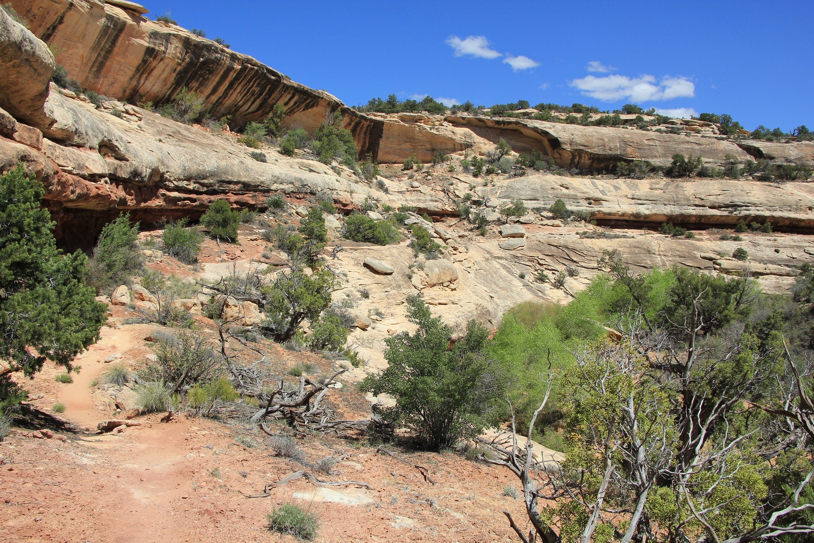
Past The Shoe, the trail makes a couple climbs up off the canyon floor to avoid obstacles.
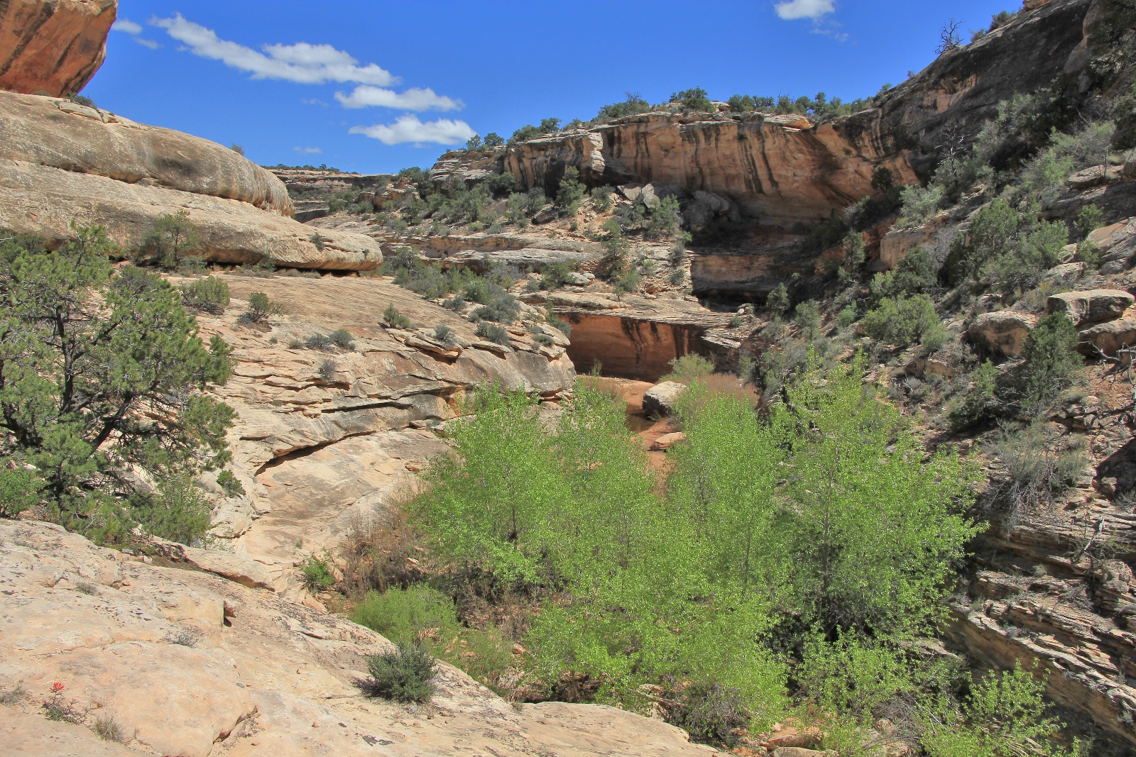
After hiking up Armstrong Canyon for three miles, Owachomo Bridge suddenly came into view. Back on our first visit to Bridges in 2011, we made the short hike down to Owachomo from the parking lot just as a massive downpour hit. I quickly shot a few photos and we ran back to the car. From the parking lot side of the bridge, it was not nearly as impressive as its neighbors.
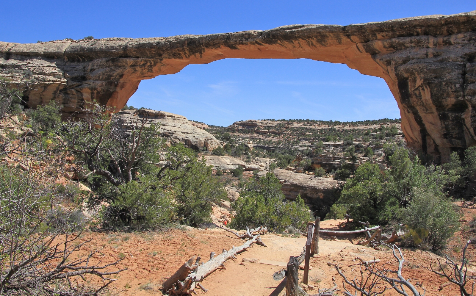
Approaching Owachomo from the backside, we found a much more impressive view. If you hike here from the parking lot, be sure to walk under the bridge and view her from the backside. This is the oldest of the bridges and while it spans an impressive 180′ and is 106′ high, it is only 9′ thick at the top.
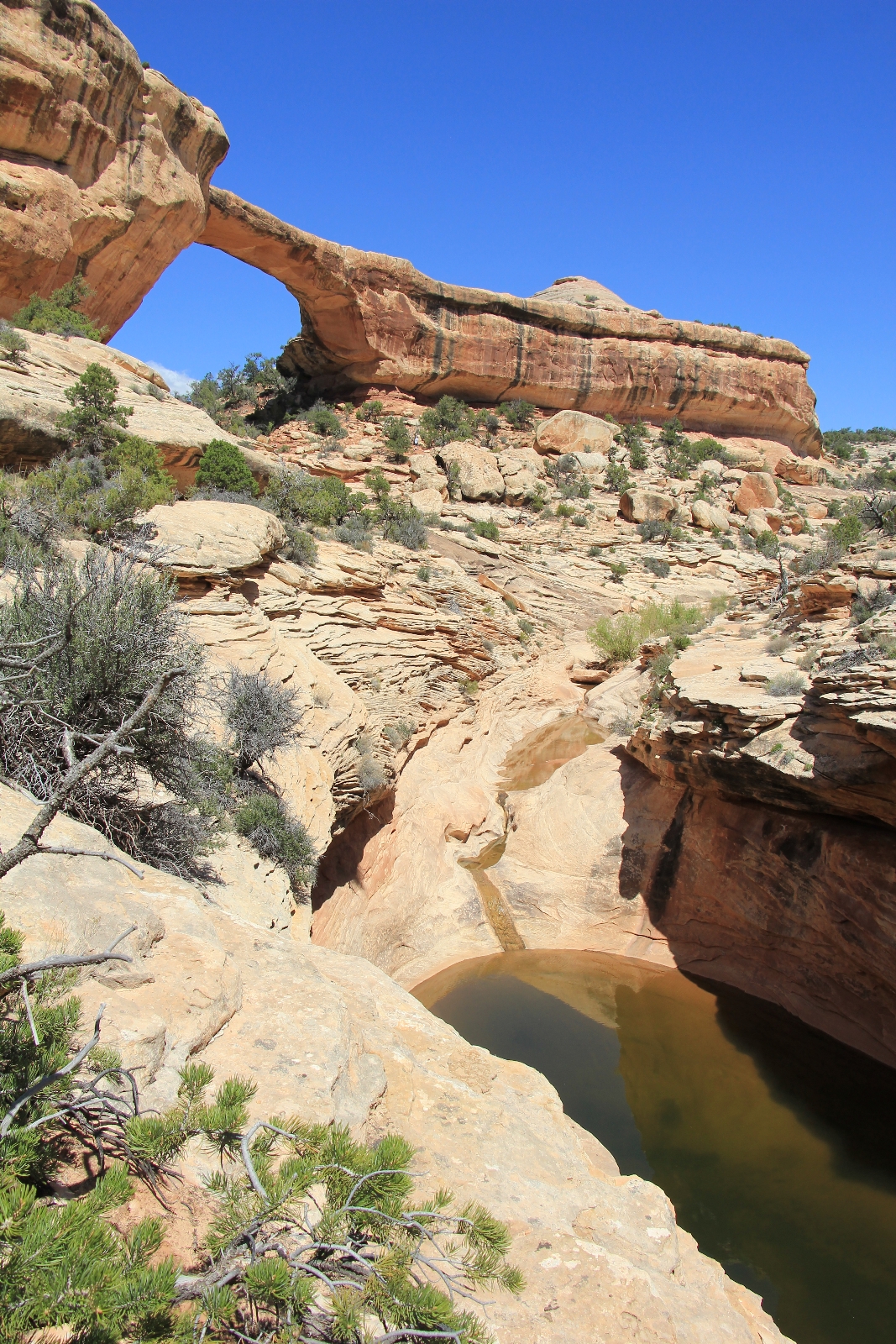
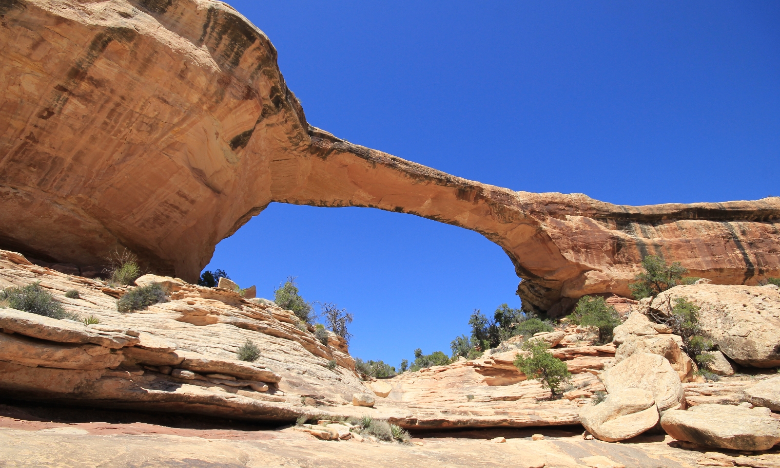
From Owachomo Bridge, it was just 0.2 miles to the road and trailhead. Here we crossed the road and began the two mile hike on the Mesa Trail through pinyon-juniper forest back to the Sipapu Bridge Trailhead where we began our hike.
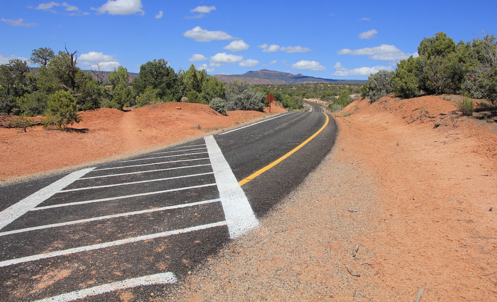
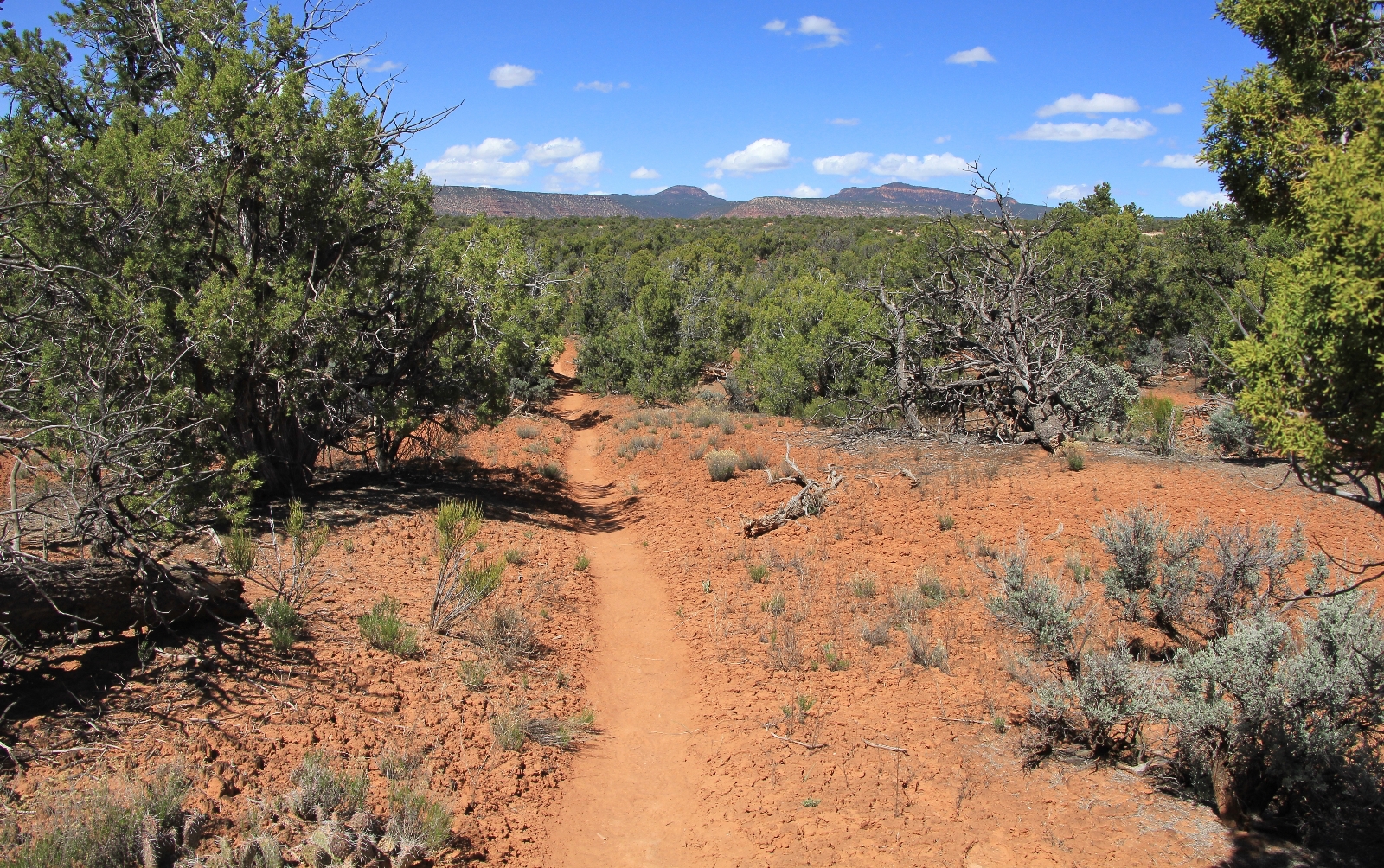
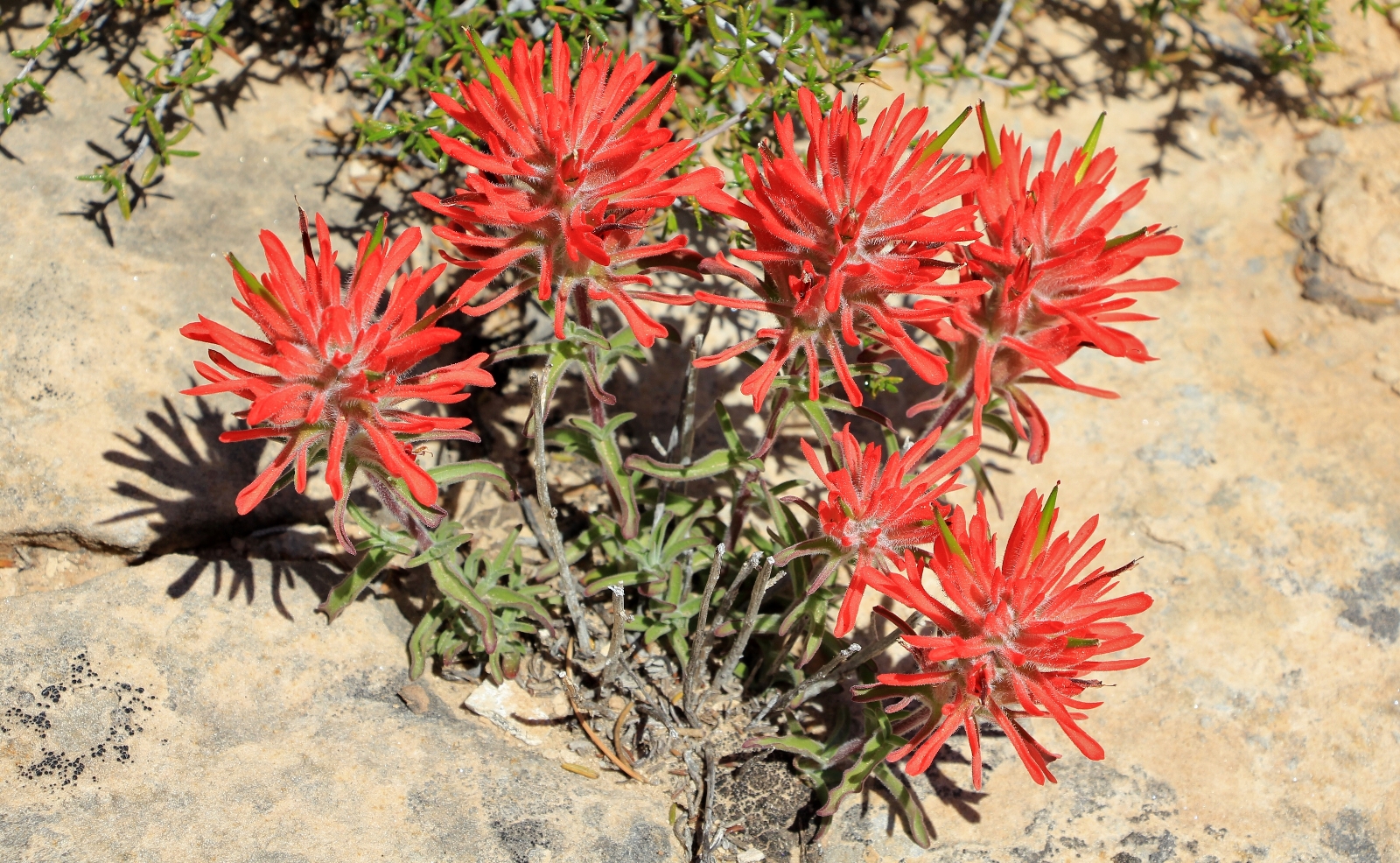
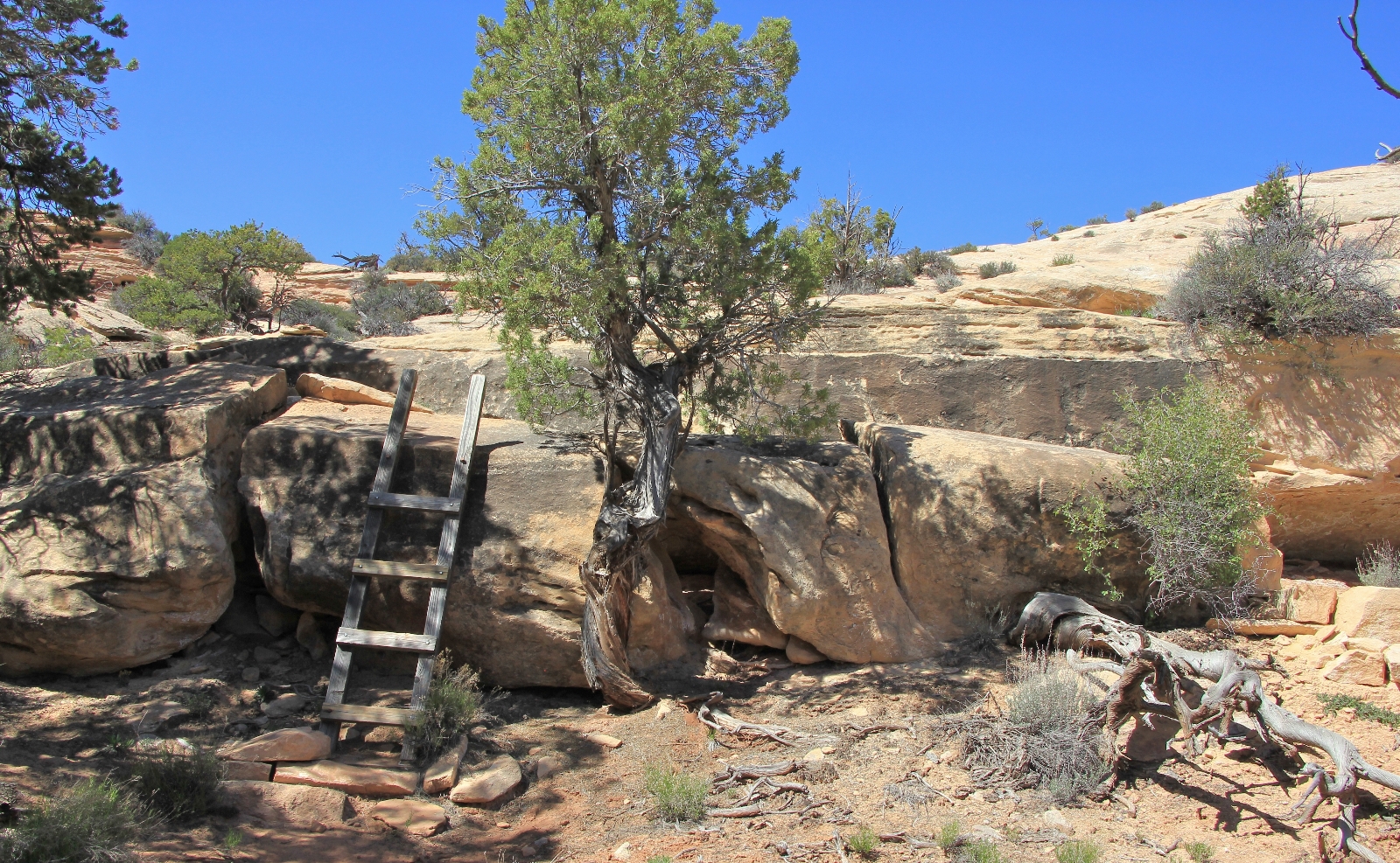
This stretch of trail was much more scenic than I anticipated with another ladder, slickrock hiking, and great views of the iconic Bear’s Ears.
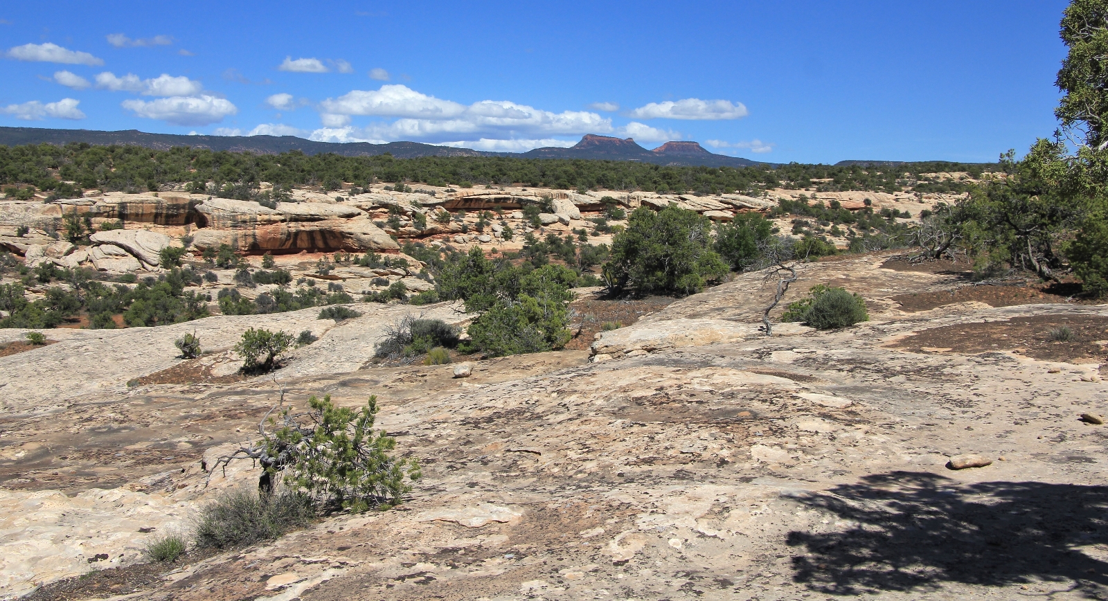
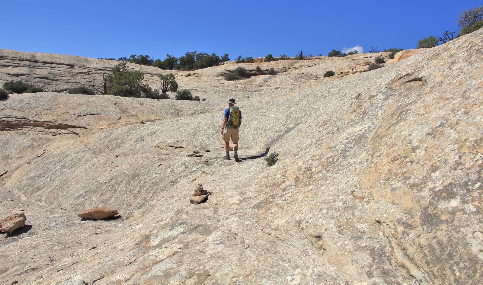
Back at the Sipapu Bridge Trailhead, we posed for a celebratory shot with Bear’s Ears in the background. After three attempts we had finally completed the full loop trail at Natural Bridges.

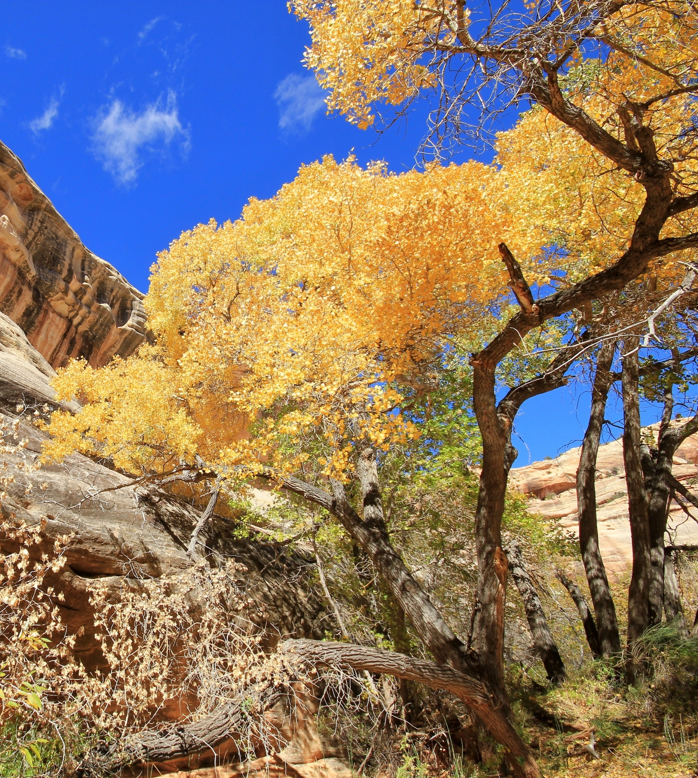
Natural Bridges National Monument’s nine mile loop pays hikers huge rewards for moderate effort. What are some of my favorite spots? Standing underneath Sipapu Bridge and staring up at a deep blue sky, holding my hand next to a hand print pictograph that is eight hundred years old, searching for rock art on Kachina Bridge, feeling tiny in a massive canyon, witnessing peak fall colors, and not seeing another hiker on the entire loop—those rank at the top. Certainly one of my fondest memories is of exploring a remote side canyon with our friend Lisa and visiting a ruin that few people will ever see.
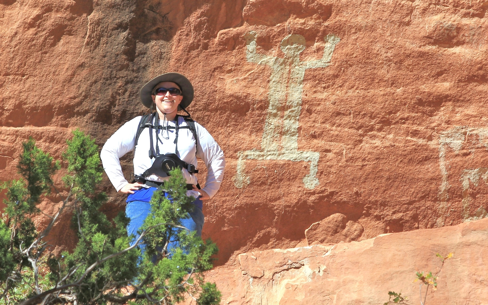
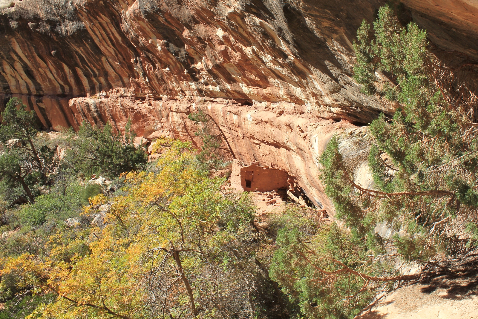
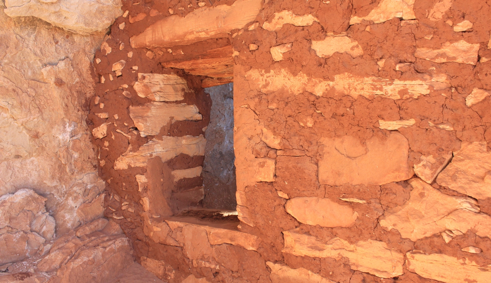
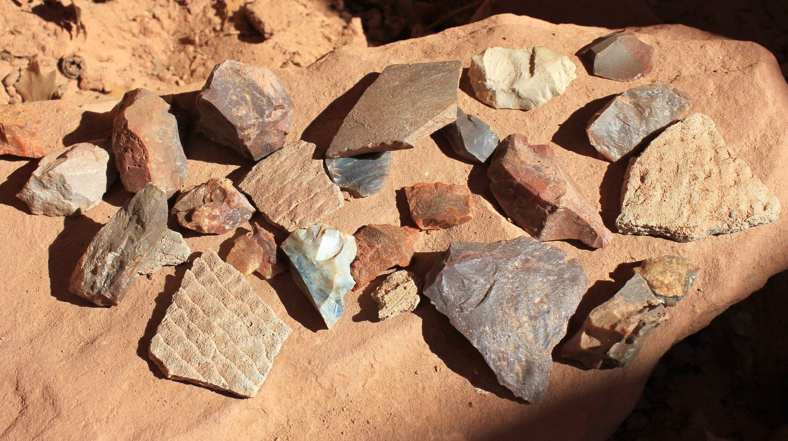
Go explore the hidden treasures of Natural Bridges. You won’t be disappointed.
Directions to trailhead: I recommend starting at the Sipapu Bridge Trailhead located approximately three miles east of the Natural Bridges National Monument Visitor Center on Bridge View Drive.